Location: North 47.78572, East 015.05935 (GPS at the summit)
Austria
Climbed April 14, 2018
`
Information:
How to get there:
Travel east on A1 (say from Linz), and exit south on Hwy. 25 in
Kemmelbach. Drive Hwy. 25, passing Gaming, then Lunz am See.
Continue Hwy. 25 about 8 kilometer after Lunz am See, find a road
that goes left at location N47.80624, E014.95081, elevation about 535 meter.
There are many signs, one says Ybbstalerhütte. Drive this road about
5 kilometer, ignore all side roads. You will now arrive at a parking
area with information signs at location N47.78321, E014.98535, elevation about
670 meter. This is where the winter route starts. However, a forest road
forks left here. It is a bit unclear to me if one may drive to a higher
parking area, the gate was open and the road in good condition in mid April.
One may (perhaps?) follow this road for 9 kilometer to reach a high parking
area at location N47.80312, E015.01040, the elevation here is about 1160 meter.
Note: After my return, I found information on the net about the
Ybbstalerhütte (I did not know of it when I hiked). From this, it seems clear
that hikers are supposed to park at the lower parking. This will add at least one
hour (possibly closer to 2?) to the ascent.
Route description:
This description starts from the high parking. If one hikes from the low parking,
then the route is (much) shorter than the road, follow signs for Ybbstalerhütte.
Walk back about 50 meter, then follow the signed and marked path uphill, earlier in
winter, take the road that forks off this forest road well before the parking, that
fork is signed "Winter Weg" (winter road).
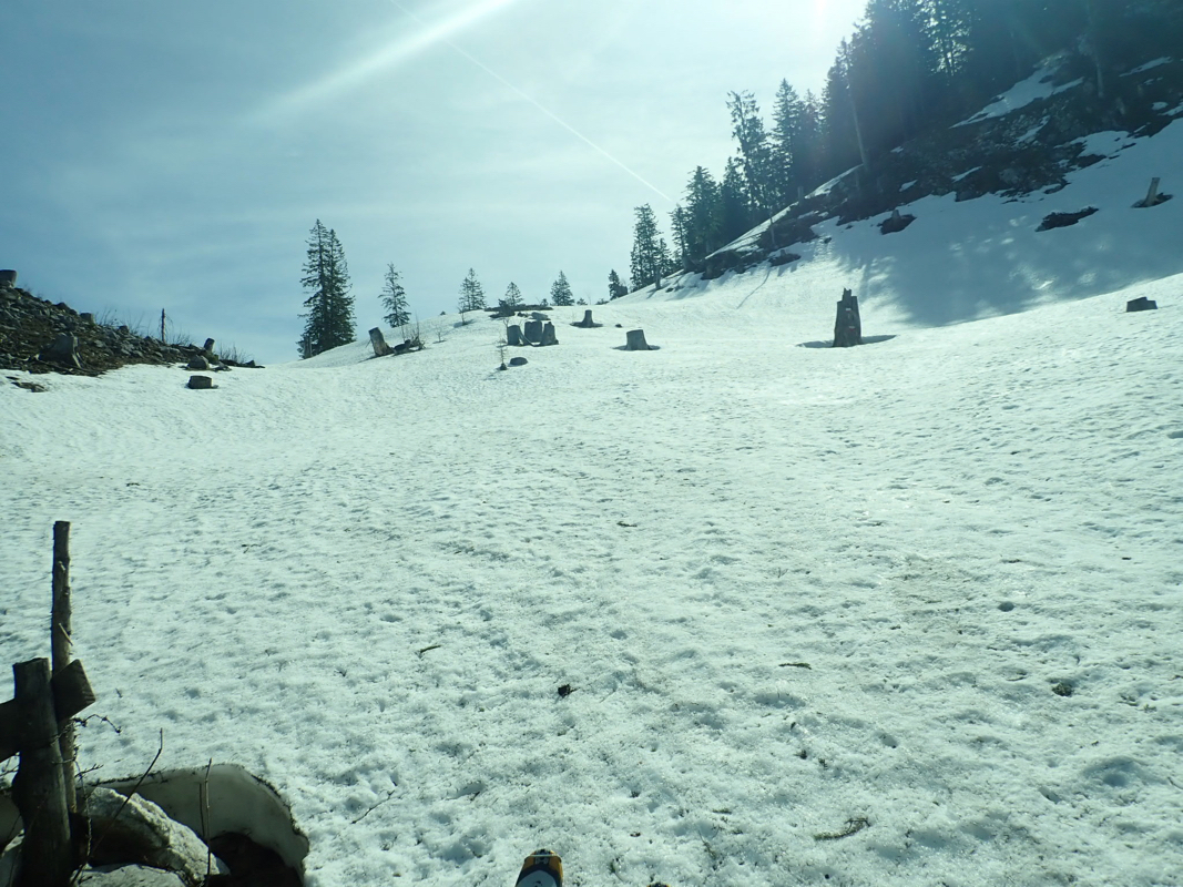
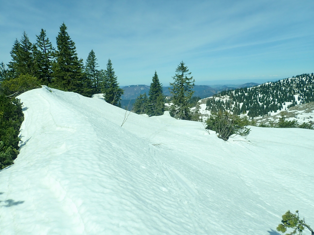
The (summer) path zig-zags up a rather steep hill side before it emerges out
into rather pleasant terrain
that continues uphill. There are still large
trees, but reasonable space between them. The marked route runs by the
Ybbstalerhütte, however, one may bypass this and ski directly uphill following
small gullies until this (short cut) route again joins the marked route. There are poles
with a sign saying: "ski route". Follow the ski route here here as it connects to the main
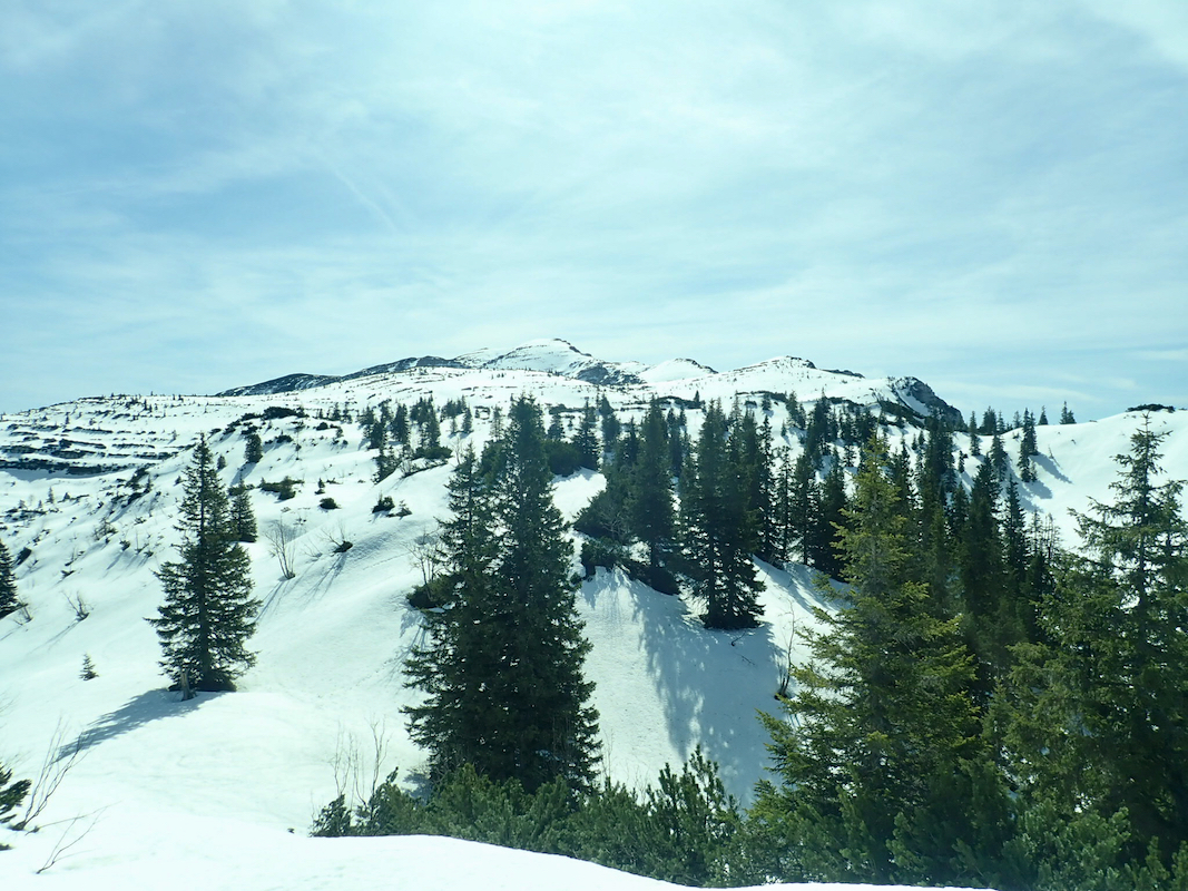
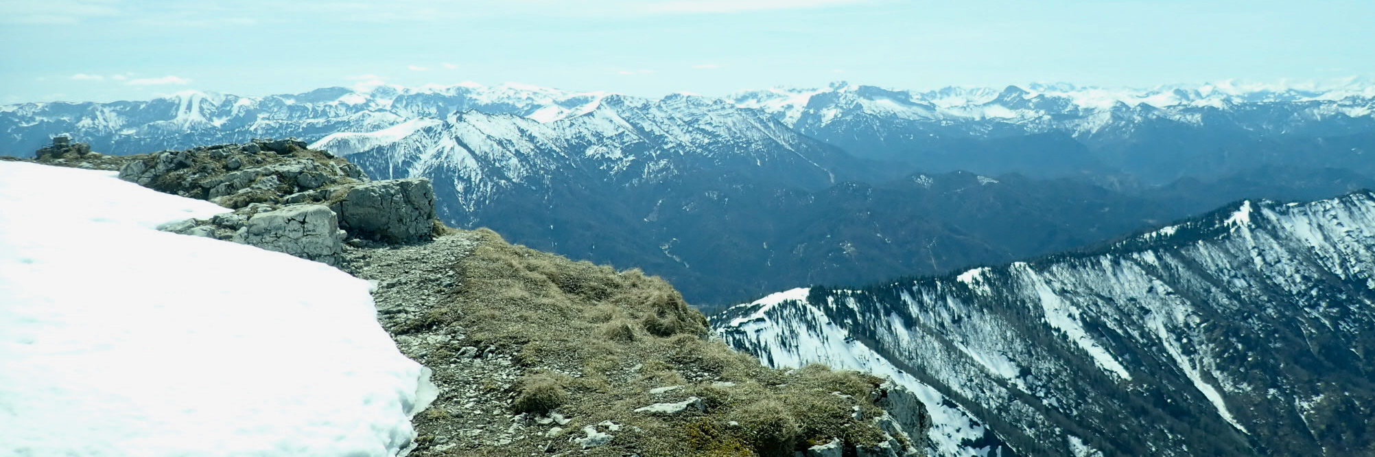
crest that next continues directly to the summit area of Dürrenstein. This ridge
is never narrow, but in mid April the snow cover was not continuous. One may decide
to hike the last 400-500 meter on foot in this case. There are two summits connecting
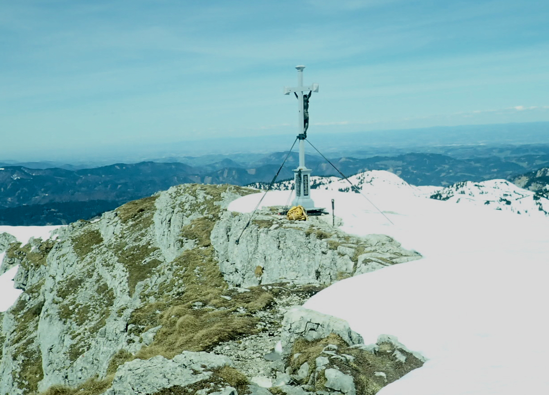
an arc formed ridge with only a very small drop in the middle. The highest summit
(with the traditional cross), is the lat one, ie. one must travel along this (summit) ridge
until it ends. There is a separate metal box with a summit register.
Comments:
I left Bergen at 1600 and har 3 flights that took me to Linz. Driving from the airport
got me to a nice, small hotel called Pension Irmer, arriving after midnight.
After a very good breakfast, I drove to the trailhead and parked at the upper parking.
The weather was nice and I left my car by 1000.
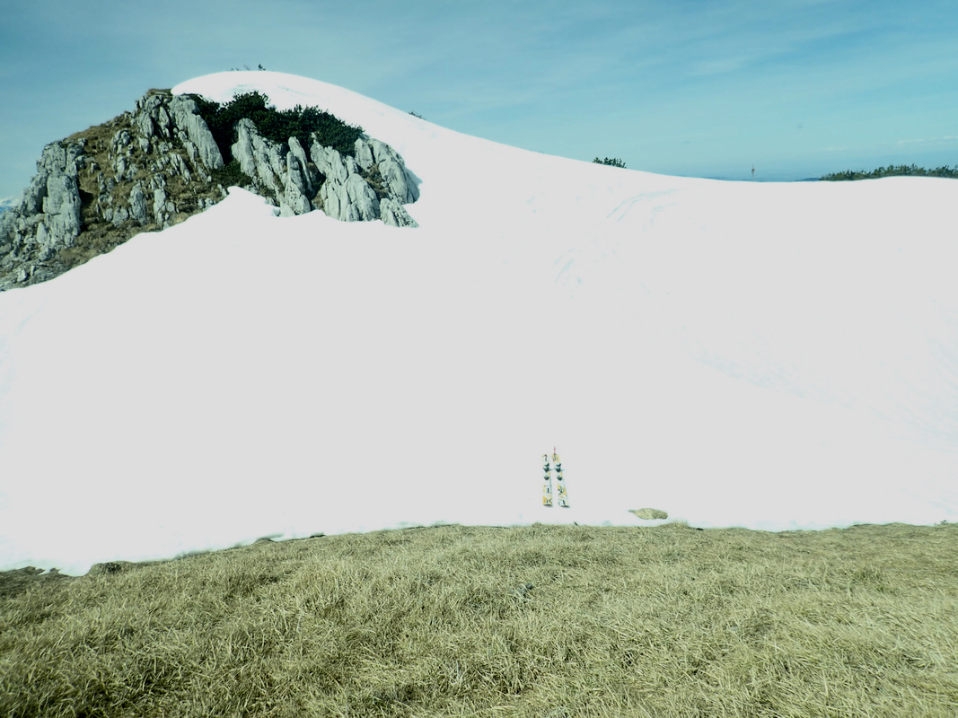
Skiing
was also nice until I hit a section
without snow on the final ridge.
I left my skis at 1150,
about 100 vertical meter below the summit and
continued on foot.
Arriving at 1225,
the last setion had taken more than half an hour due
to sections of snow where my feet dropped in deep in several locations.
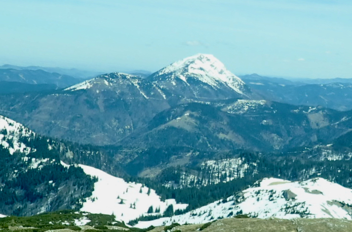
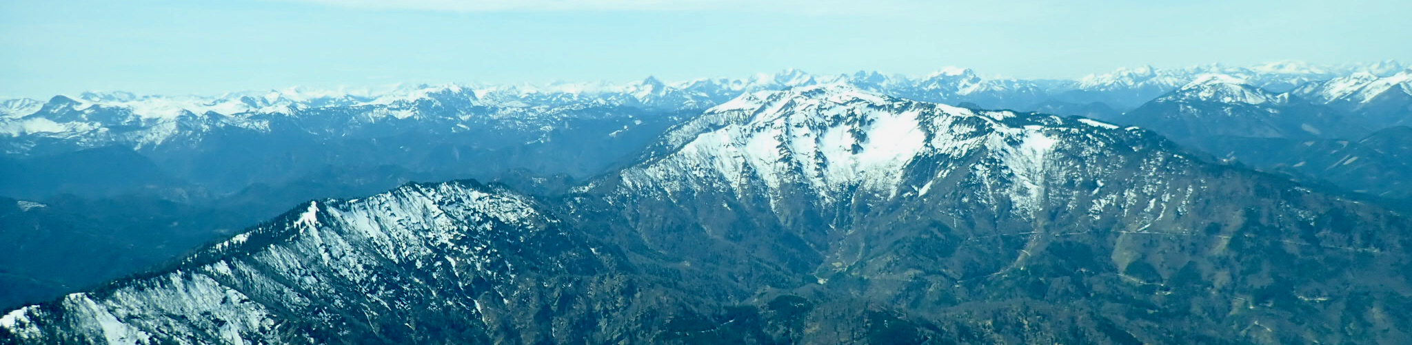
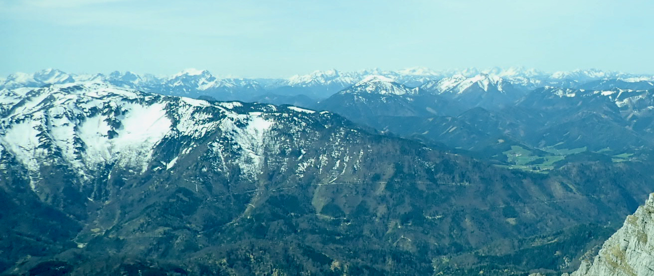
The view was nice all around.
I spotted Ötscher, my
goal for the next day, as well as
countless more peaks further south. I signed the summit register before leaving at 1240.
Back at the car by 1340 after an hour with mostly easy, downhill skiing.
