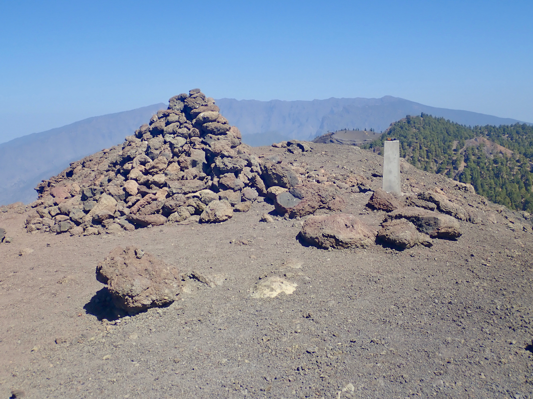
Location: North 28.56923, West 017.83717 (GPS at the summit)
Palma, Canary Islands.
Difficulty: Class 1 (YDS)
Climbed March 16, 2019
`
Information:
How to get there:
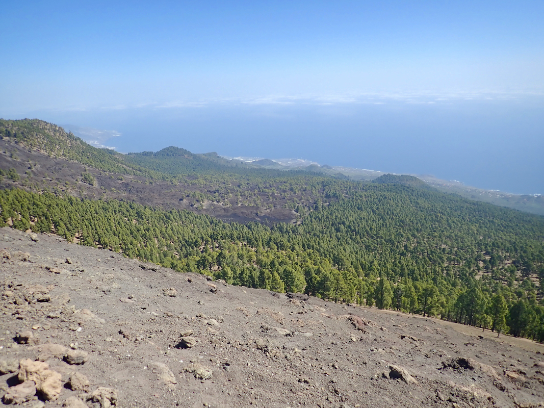
From Santa Cruz de la Palma, locate Hwy. LP-3 and drive it across to the west side,
you will go through a tunnel at the crest, shortly after the tunnel, turn left onto a road
signed for El Pilar. Drive this road until you arrive at a recreational area among trees.
Parking on the left. This is the trailhead, location N28.61452, W017.83625, elevation about 1440 meter.
Route description:
Cross the road and walk through the picnic / recreational area going just right of a building.
You will then locate the beginning of a trail, there are signs. Make certain that you start out
on the trail named Ruta de los Volcanes. The sign should indicate that this route is a bit more
than 17 kilometer (it runs to the south end of the island).
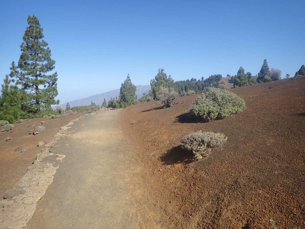
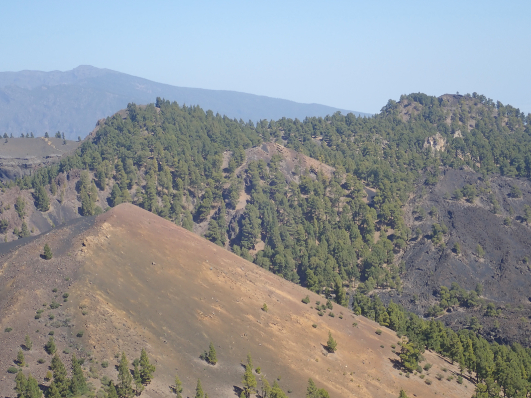
Follow this nice trail, initially on the west side of the main crest, then onto the top
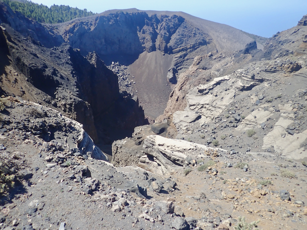
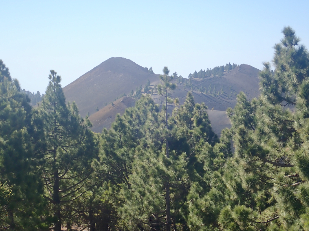
ridge with good views both east and west. You will pass close to the summit of
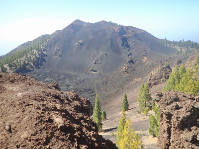
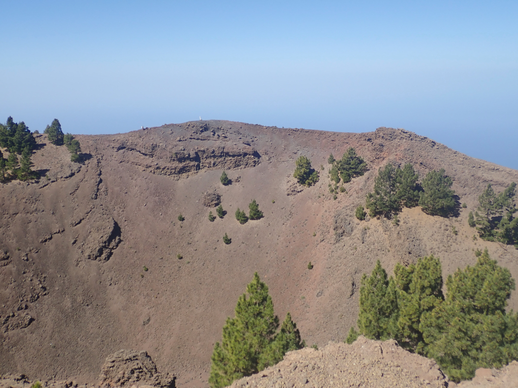
Hoyo Negro (with a nice crater),
then descend to a connecting saddle. Continue on the
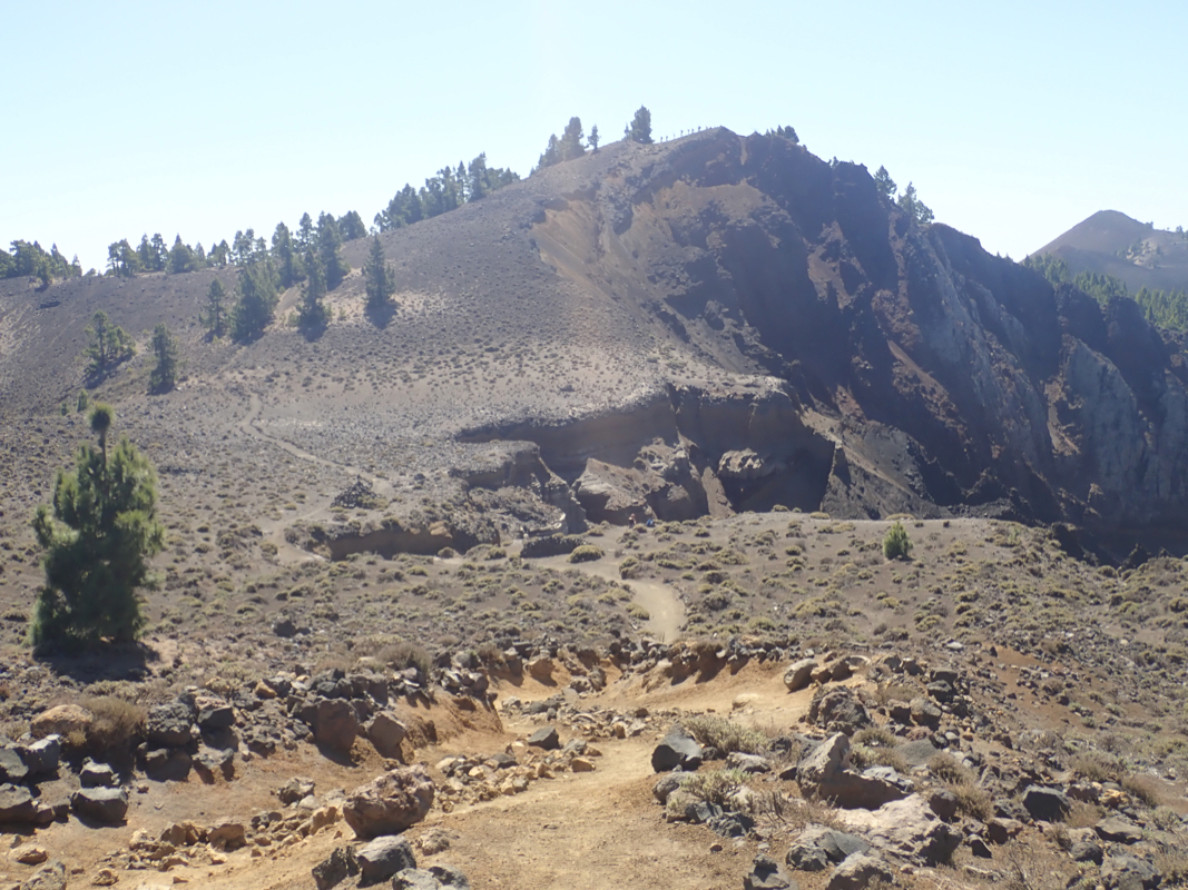
main trail as this climbs the west summit (1931 m) of Deseada. Your goal is now directly
to your left. Continue slightly downhill (south), then take a small trail that forks
left, descends to the 1903 meter saddle, then
ascends to the summit. Comments:
I started out at 0950 and followed
the main trail until the (1830-1835) saddle connecting
Hoyo Negro with Volcan de la Deseada. Here, I took a smaller trail that eventually got me
to the summit. It seemed less efficient than when I started.
I was there at 1130. I had also visited the small summit called Hoyo Negro on my way here.
Arnt had this listed with P100, however, upon my return, it seems like the current map
has it just short of 100 meter prominence.
Nice weather and time for a rest as well as photos.
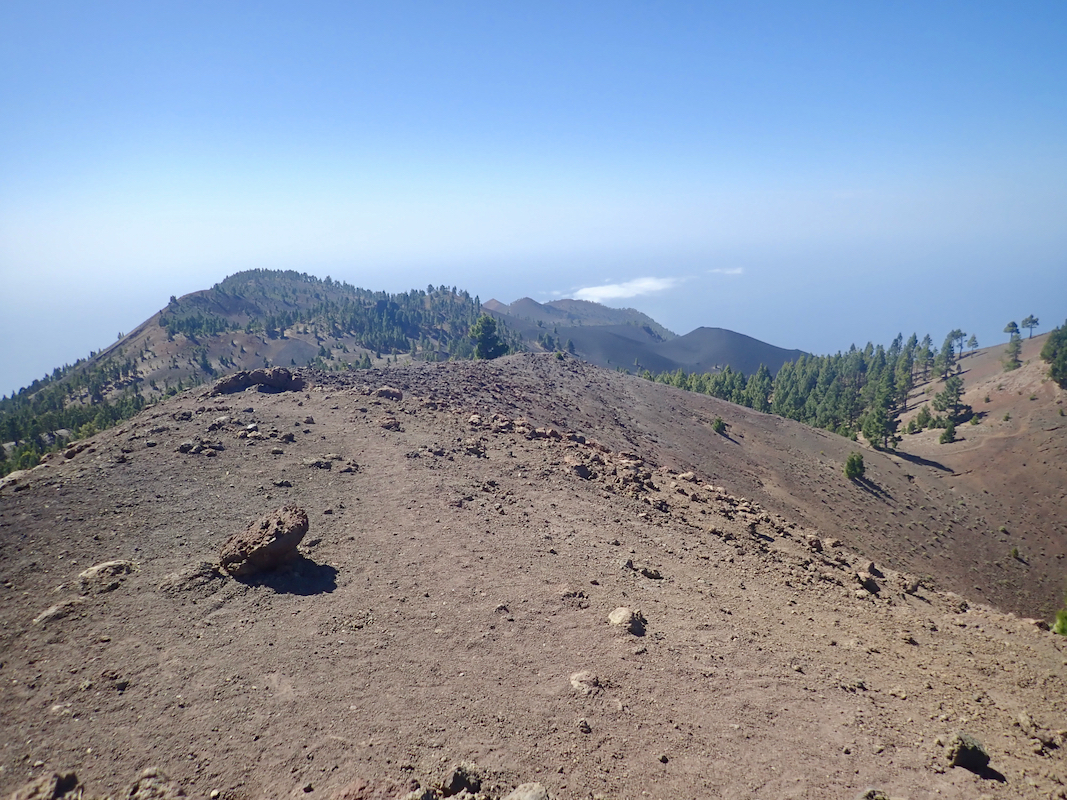
I returned via the shallow (1903) saddle
connecting to the west (1931) peak and the main trail.
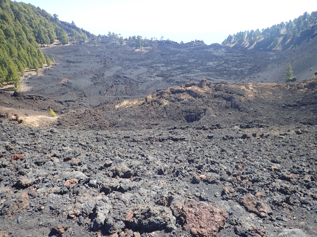
On its east side there is a "frozen" lava lake.
Passing back close to the
impressive Hoyo Negro crater, then crossing a smaller
hump, I came back to a signed trailfork. Since I wnted to visit the mountain
named Montana la Barquita, I decided to continue along an unsigned, but very
promising trail that first went across a local hump to the immediate north-east.
This trail did indeed do exactly as I wanted, it took me across some humps, then
down to the key saddle of Barquita, before climbing in zig-zags to the curved
summit ridge.
I was there at 1250. The trail now continued to the nicer looking (but 2 meter lower)
Pico Birigoyo. From here, I descended on a
very nice trail, finally connecting
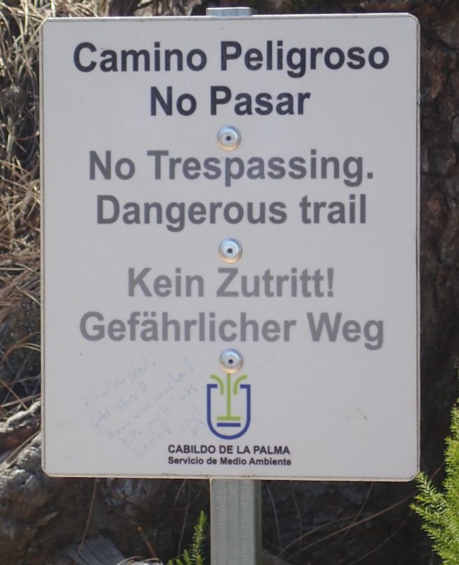
to a bigger trail, now very close to El Pilar. I was somewhat amused to see a
sign warning people
from taking the trail i just had completed. It was a perfectly
good trail the entire way! Descending what looked like a small ski slope connected
back to the road very near its local col on the main crest. From here, I walked
about 100 meter downhill along gthe raod to my parked car. The time was
1330, a very nice hike with good views.