Location: North 17.03713, West 025.29156 (GPS at the summit)
Sao Antao, Cape Verde
Climbed February 17, 2018
`
Information:
How to get there:
One may access a trailhead for this mountain from the north, this would
mean a shorter hike, but a more convoluted approach by car. Thus, I would
recommend to start where I started, near the village of Cha de Morte. .
To get there is most easily done by taxi. From Porto Novo, drive west, then
more north through the village of Lagedos.
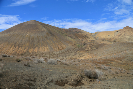
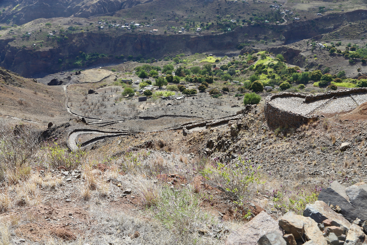
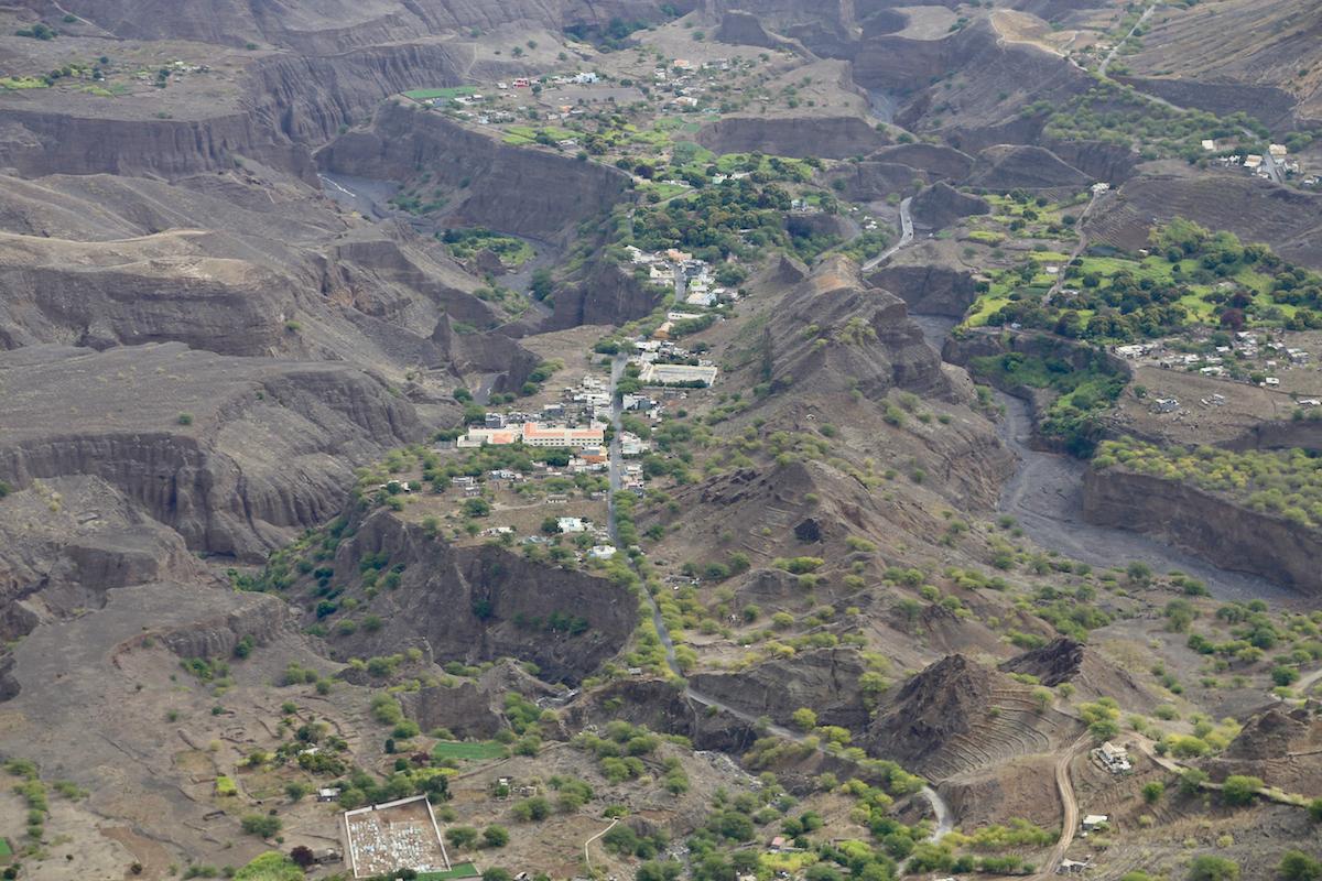
Continue the main road as it
climbs into an impressive valley
with a semi-circular rock wall. This
is truly a facinating landscape.
The trail starts up a side road to the
left at location N17.04199, W025.21829, elevation about 800 meter.
Recommended taxi service: Try Frenk in Porto Novo, his
phone number is (+238)9940828.
Route description:
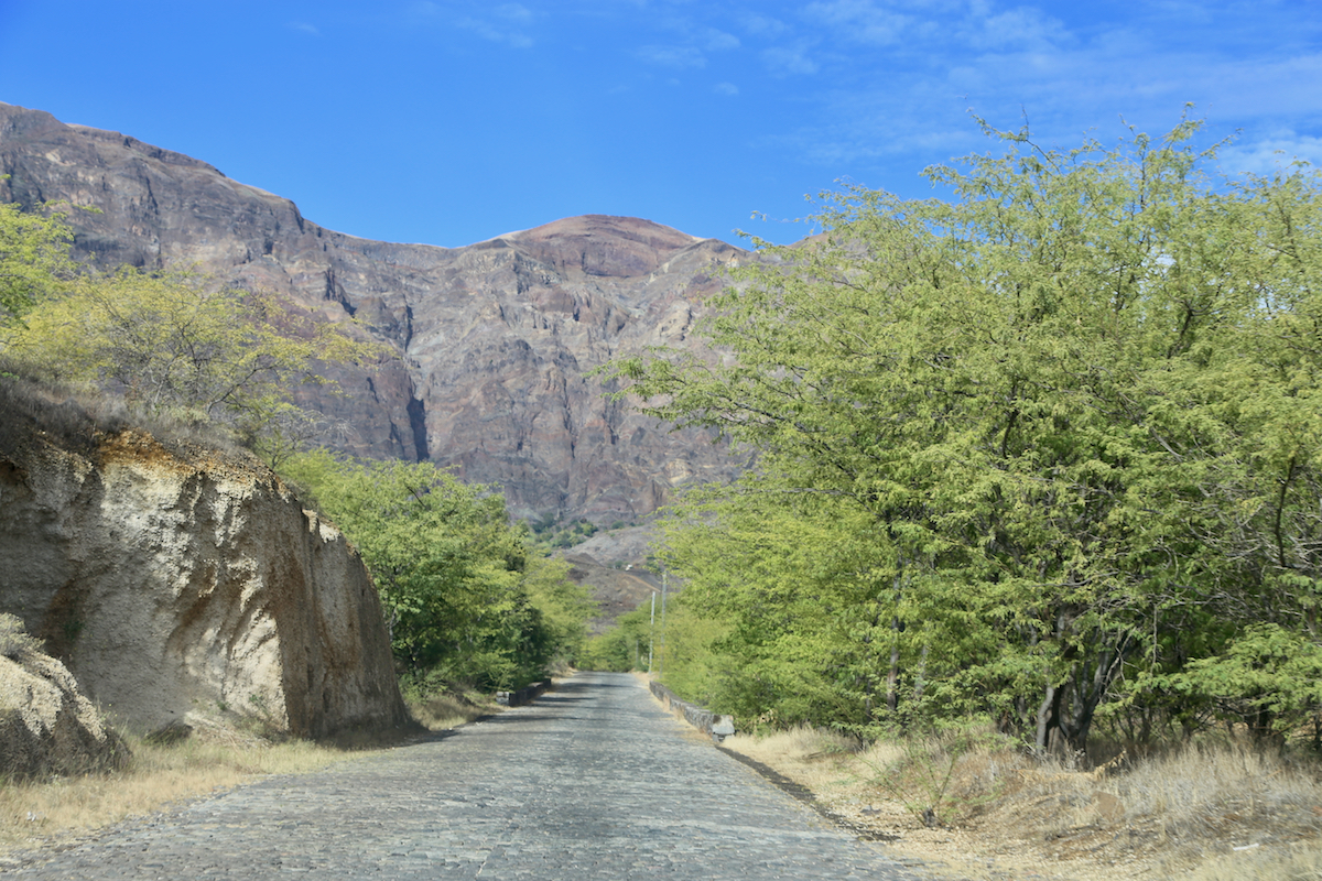
The route runs up the road, this road climbs quite a bit, then there is a road
fork. Here, one must go right (uphill). The cobblestone road continues uphill, but
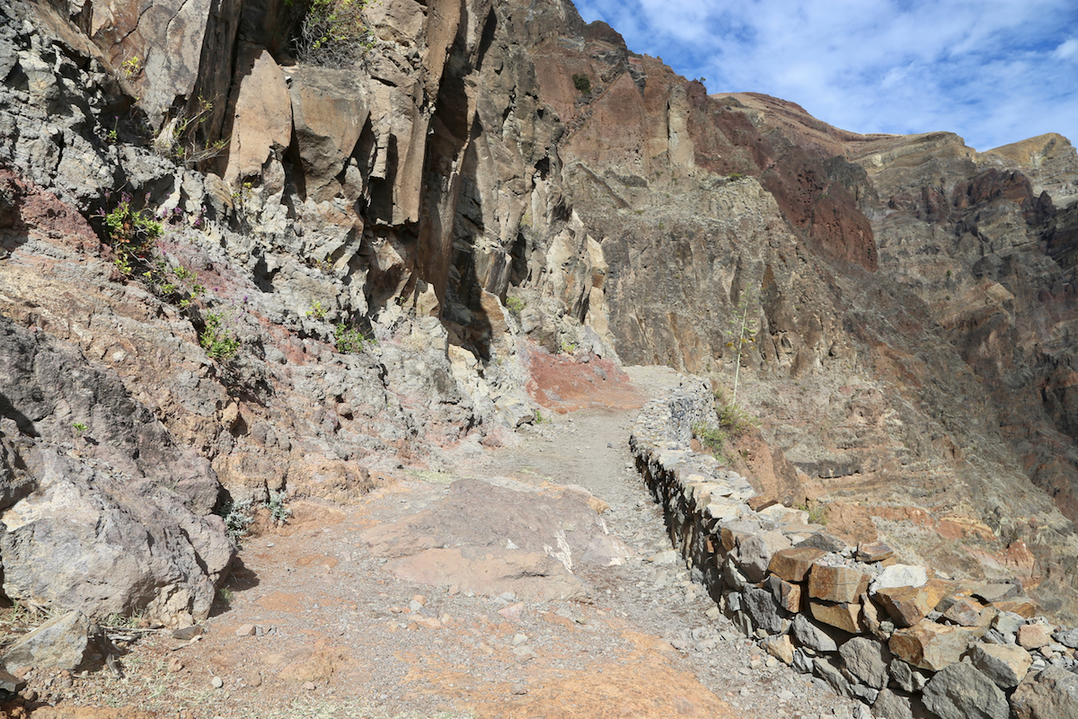
is not for driving any more. This nice path, obviously constructed by manual labor,
is quite an engineering masterpiece.
It is by far the most interesting part of
this route and any alternative that would miss this part should in fact be ruled out.
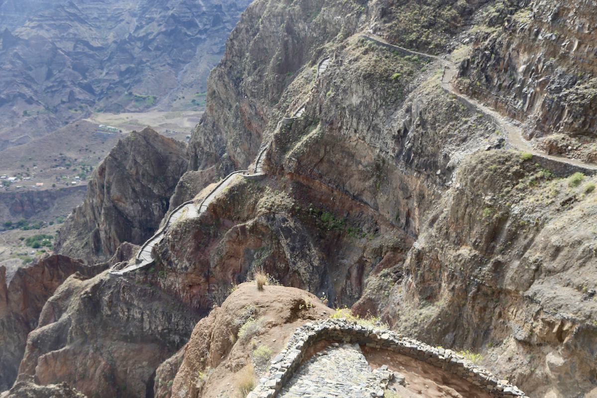
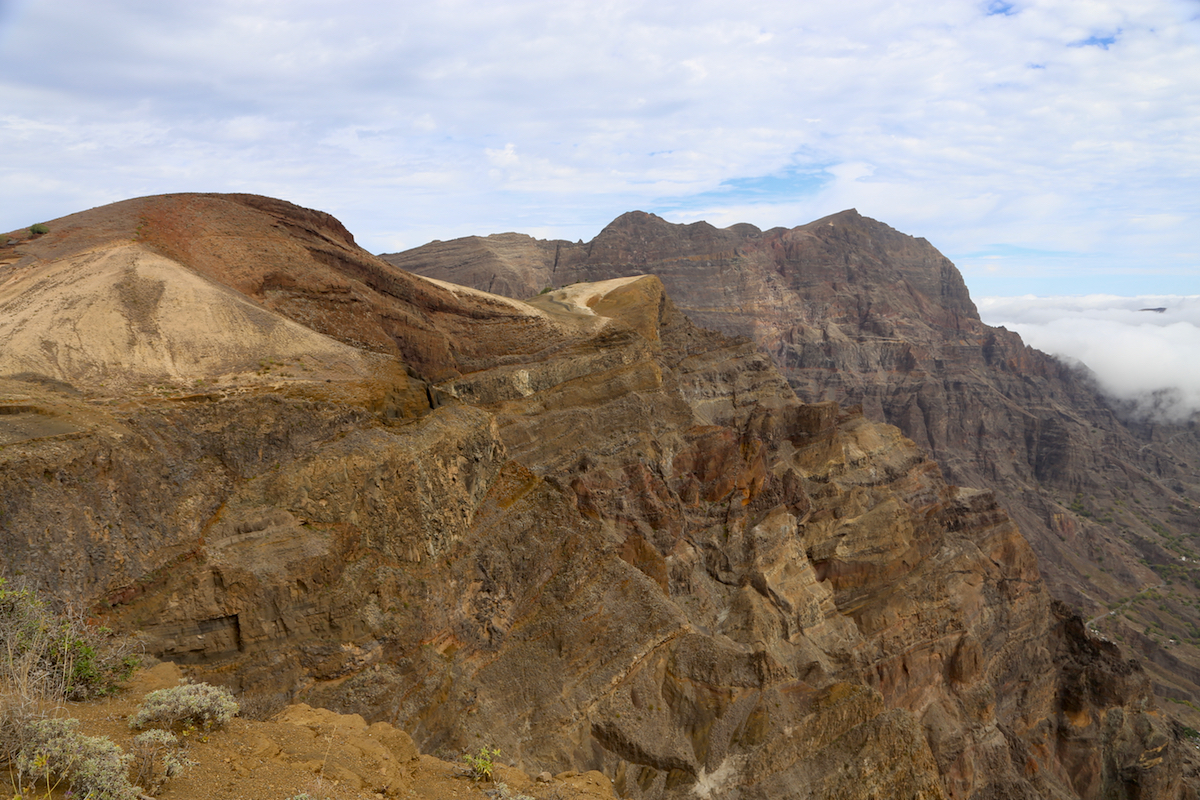
The path has been constructed to scale what looks like a huge vertical wall of rock
in order to make a communication link between the valley and the communities on the west
side of the mountain crest. This part of the hike is really worth a trip to this island
by itself.
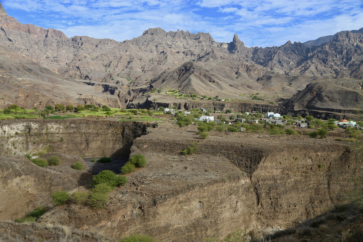
The path winds its way up along small rock-ribs,
then traverses along some semi-natural ledges
to a new spot where more elevation can be gained. The total
vertical gain at this section of the route is about 750 meter.
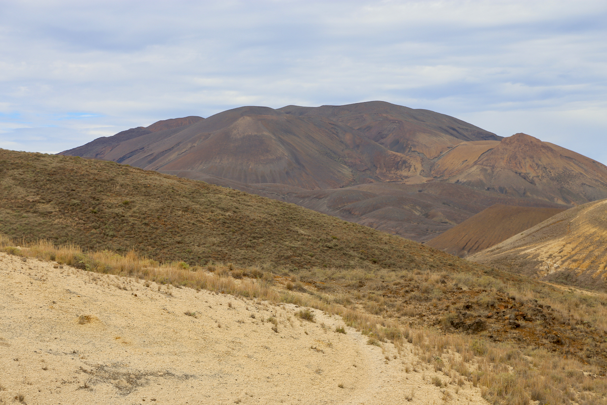
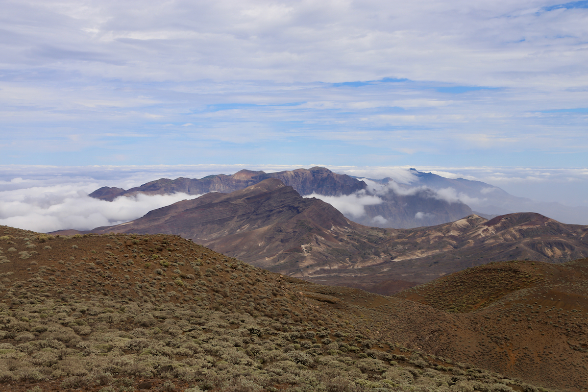
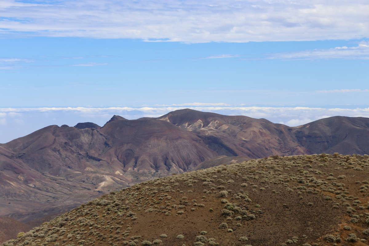
Finally, the crest is
gained and Tope de Coroa comes
into view, seemingly still quite far away. The next leg is
a gentle loss of about 200 meter of elevation as the path leads downhill into a small
canyon, then exiting to the left (west) and following a 4WD track that runs along a small
ridge down to a dry river. There are several houses and roads in this area, the name is
Cha de Feijoal. You cross the dry river at location
N17.05192, W025.25200, elevation about 1360 meter.
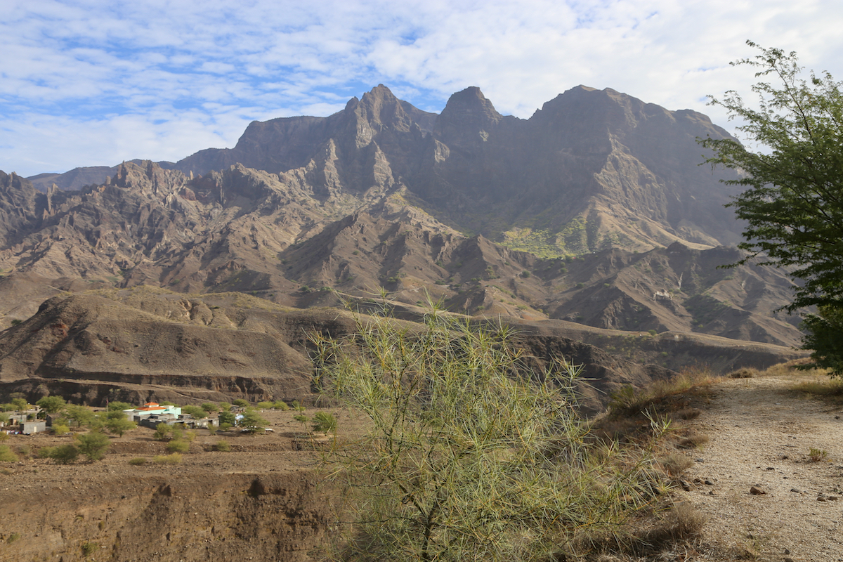
Head uphill on the other side and join the road that runs more south.
Leave this road (going right) after a few hundred meter on level ground and head more or less
directly towards the mountain. There are a few smaller hills between you and the base of the
mountain. I followed a small trail that climbed on the right hand side of the first hill,
then crossed a small local saddle on the back side before traversing a bit along the side of the
next final hill. The direction of travel is now towards
the left side of the main peak, as you
gently ascend a ridgeline with a valley on your right hand side. Continue across a local crest, then descend
towards the base of the peak while turning more right to aim for the inner and upper part of
a bowl. There should be a fairly clear trail that heads up along some (dry) drainages in this area.
From here, ascend more steeply along the trail to gain a small, upper valley. the route
immediately continues to climb on the right hand side of the valley entrance, then follows
the ridge to the summit.
Comments:
I had an early flight from Praia to Sao Vicente, but was still usure about which ferry I
would be able to catch. Landing ahead of scheduled time, I got a taxi and asked him to
drive me to the ferry. He raced along, slightly faster than comfortable, but did arrive
at the ferry just a minute before 0700. I bought a ticket and ran to catch the ferry as it
was about to leave. Very lucky transfer indeed. Already at 0800, I stepped ashore on
Sao Antao. I bought a map, scale 1:40.000, but not very good and most likely not
worth its price (18 euros). Next, I looked around for transport options and located
a blue taxi with driver Frenk. We quickly agreed on a price for driving me to
the trailhead described above.
I had planned to stay at the same rifugio as Rob Woodall, but given my early start at 0930,
I also started to think that a round-trip hike with an overnight back in Porto Novo might
be a good plan. I could then do a separate hike from a new trailhead the next morning.
It took me about 1:15 to climb the 750 meter up to the crest.
this included several stops for photo.
This path is really quite unique and deserves a place together with other, better
known, spectacular trails with unique scenery.
The next stretch was more ordinary, then a bit of route-finding to follow smaller trails
that would get me to the base of the mountain. Overall, no major issues and I arrived at
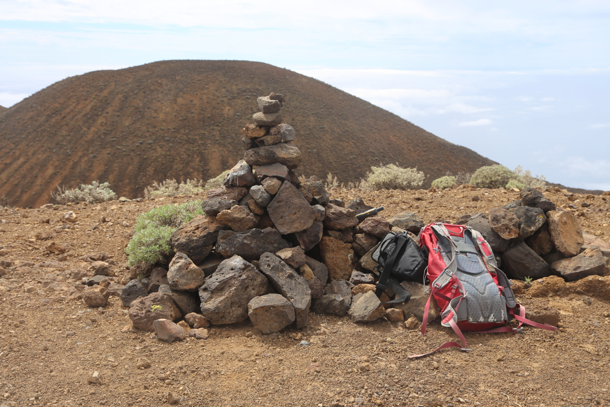
the summit at 1315.
A nice place to be,
I had not seen any other hikers on the trail, only
a few locals near the road after crossing the dry river bed. One will immediately notice
a competing top right across a substantial cut, perhaps close to 100 meter of descent.
The map has point elevation on both spots, this summit being 3 meter higher. Rob Woodall
also reports that GPS measurements agree with this.
I left after a 20 minute break and had a nice, but uneventful return hike. At the top
of the cliff, overlooking the valley, I called Frenk and asked him to come back and
pick me up at 1700. I arrived back down by the main road at 1645, observing that
Frenk was laready there.
We drove back to Porto Novo where I checked in (as the only guest!) in a hotel only
one block away from the ferry terminal. We agreed to meet the next morning at 0730,
this time for a drive to what looked like a good trialhead for
the 1810 meter high mountain Gudo de Cavaleiro.