Location: North 42:23.562, East 013:12.036 (GPS at the summit)
Difficulty: (YDS) class 1.
Climbed July 8. 2012.
Information:
How to get there:
Take Hwy. XX going north from L'Aquila and locate the correct turnoff at location N42:21.573, E013:11.544,
elevation about 1000 meter. Take this small, but paved road up the hill until you arrive at a local
hill top populated by antenna masts. There is parking right next to where a dirt farmers road continues
downhill. This location is N42:22.609, E013:12.278, elevation about 1475 meter.
Here is an overview of peaks climbed at my Europe 2012 summer trip.
Route description:
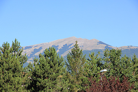
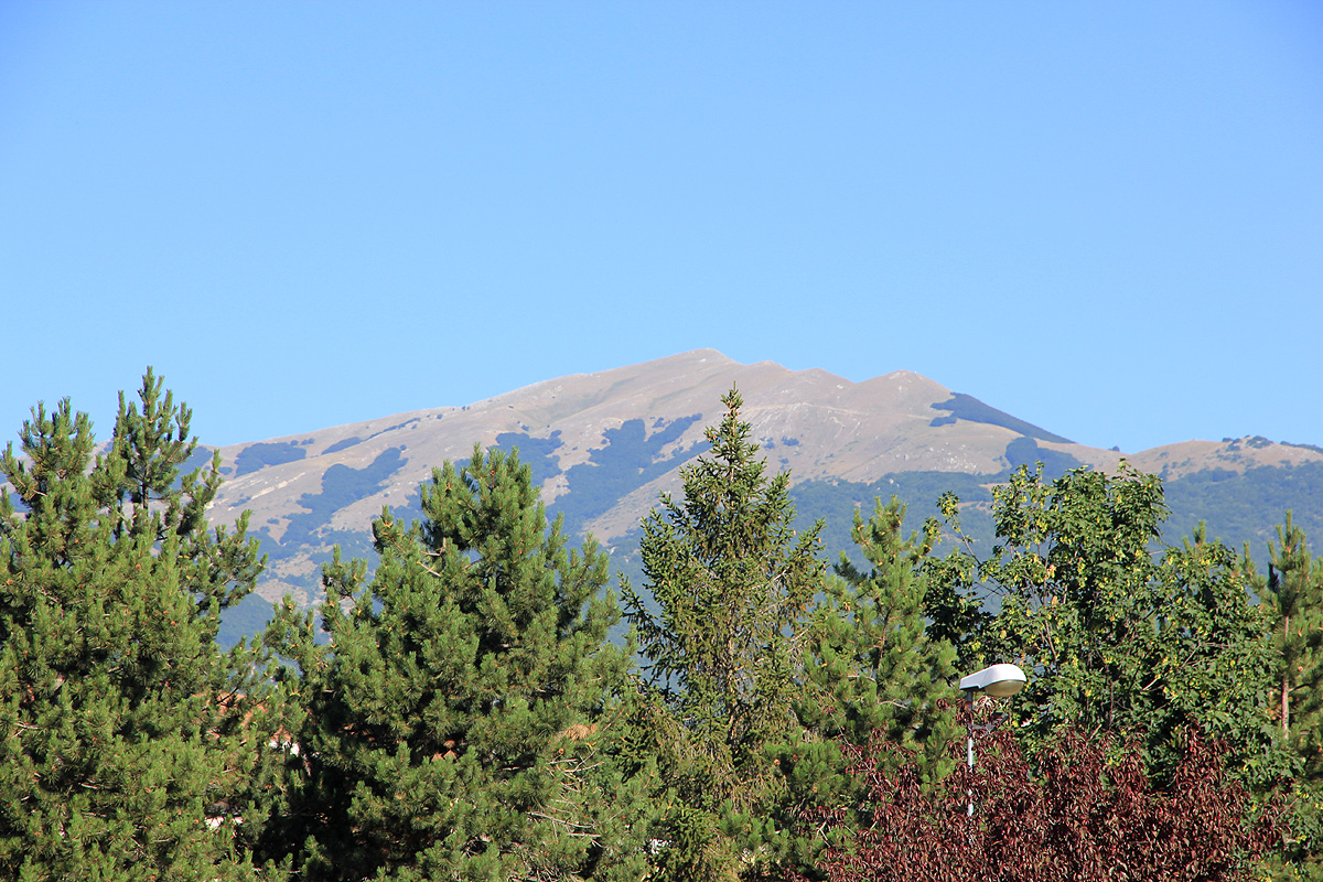
One can see the summit from the trailhead.
First, descend to the small col between the local top where you parked and the slopes of Monte Calvo.
Follow the farmers road as high as it goes, then continue uphill
on easy, grassy slopes to the summit. Alternatively, just follow the farm road until it has gained roughly as
much elevation as the trailhead from where you descended, then go left and head up the broad, grassy ridge to
the summit.
Comments:
I decided to do this hike before having breakfast at our hotel. Thus, I started
hiking at 0535 and made the summit at 0615. I spent about 30 minutes also visiting the
summit that is located a bit further north. This summit is likely slightly lower.
Returning to my car at 0700, I would still be back at my hotel well ahead of
breakfast being served at 0800.