Cucurbata Mare (Bihor)
- Cucurbata Mare (Bihor)
- 1849 m
- Primary factor 1478 m
- Location: North 46:26.452, East 022:41.332 (GPS at the summit)
- Romania
- Difficulty: YDS class 1
- Climbed: August 11, 2011
Cucurbata Mare (Bihor)
|
|
How to get there:
This mountain is the highest point in a somewhat isolated mountain area, completely disconnected
from the Carpathian Mountains. Locate Hwy. E-79 going northwest, passing the cities of Deva and Brad.
Continue north to Vascau and Stei, locate Hwy. 75 going east and drive uphill to the main pass at elevation
1140 meter. This area is being developed as a ski area. Locate a small wind mill on your right and drive the
short access road to the ski area itself. Park here, this is a good trailhead, location N46:30.676, E022:40.275,
elevation about 1180 meter.
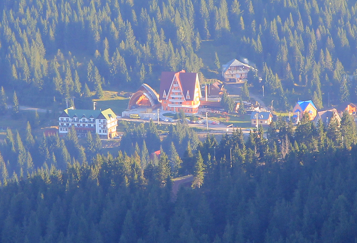
We stayed at
the very friendly hotel Four Seasons.
They could provide a local hiking
map as well as sharing personal knowledge about the area.
Route description:
From the trailhead, continue horizontally and locate a forest road that climbs gently westward. Follow
this road, you will notice that the route is marked with a red stripe (on white). Shortly, there is a fork
where a newer forest road climbs more steeply left. Ignore this and continue along the (older) road, you
should see more trail markers. After a short stretch, this road enters a clearing where it subsequently
makes a left turn and heads downhill. This location is N46:30.084, E022:40.127, elevation about 1300 meter.
Leave the road here and follow the rough (water damaged) trail that forks left. The trail markers will
also show the way. Climb steeply until gaining the main ridge, then follow the ridge to the crest of
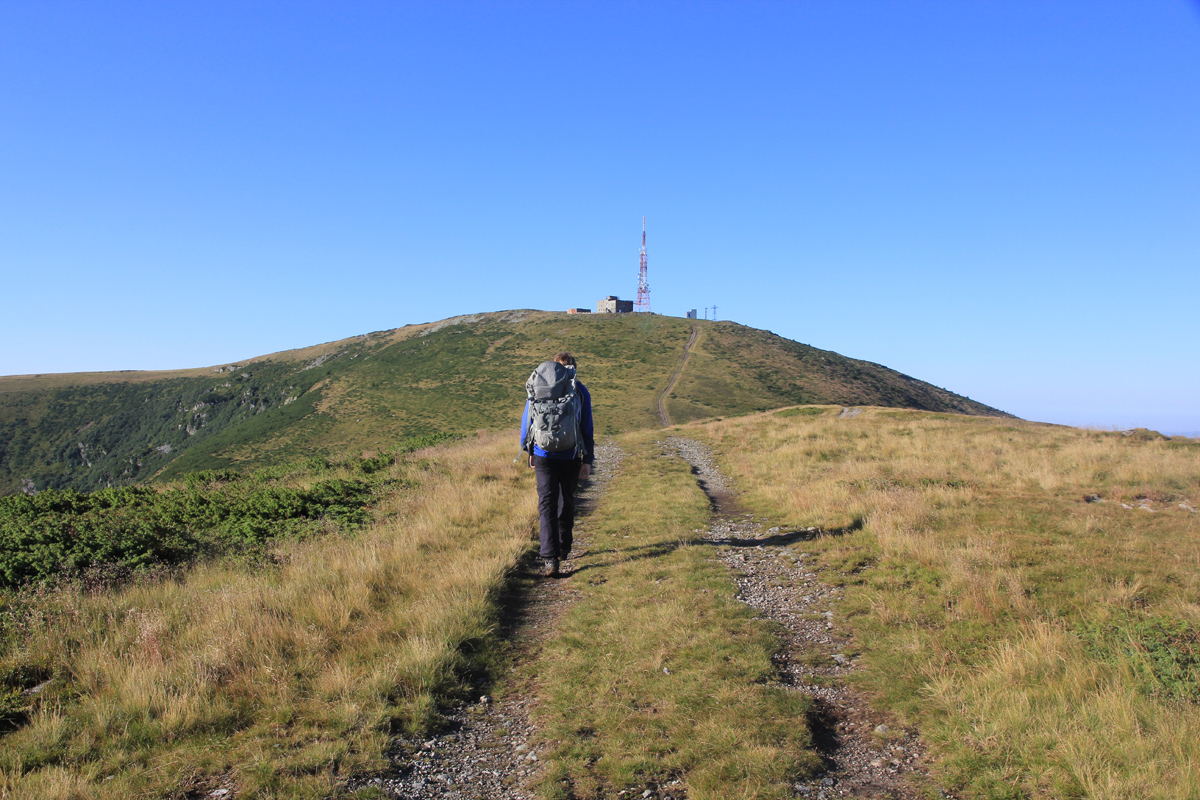
Piatra Graitoare, 1658 meter.
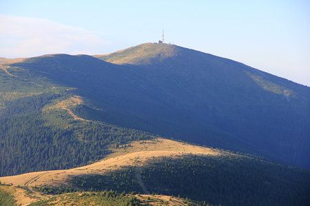
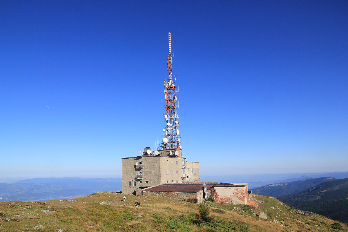
You will now see Bihor with its characteristic antenna across a broad
saddle. Consider a visit to the top of Piatra Graitoare
first, its summit is to the right at the very far
end of the main ridge. The marked trail descends towards the broad saddle, however, one may easily first
visit the local summit, then cross back down to recover the trail, or simply backtrack a bit and pick up a more
visible trail that heads downhill.
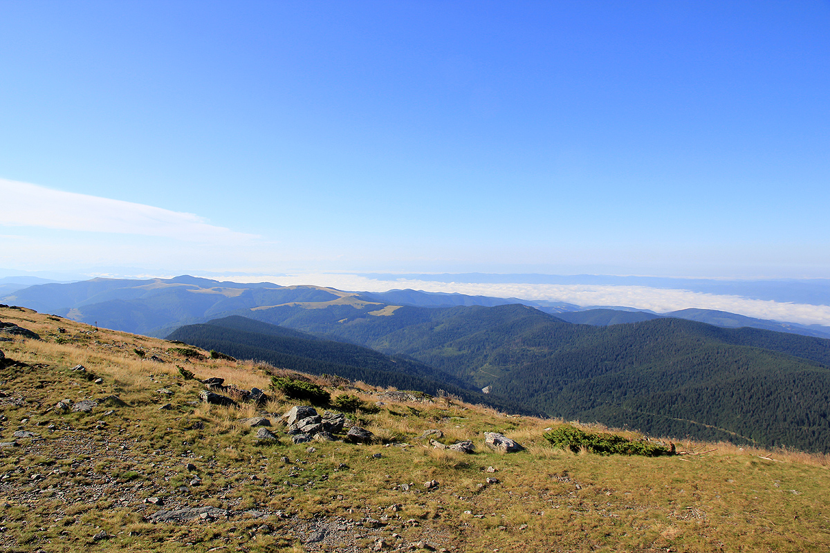
The route follows and old vehicle track and is quite easy as it crosses rolling fields, then climbs the ridge while
turning right. Finally, you cross a distinct, local bump, descend
to the last saddle and climb a final slope in order
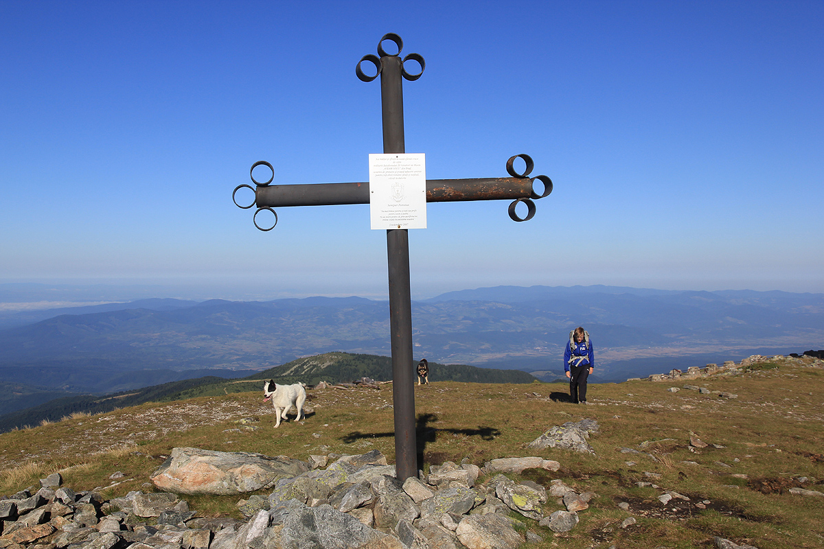
to gain the summit. Walk around the antenna complex to
locate the highest point marked with an iron cross on the
south side.
Comments:
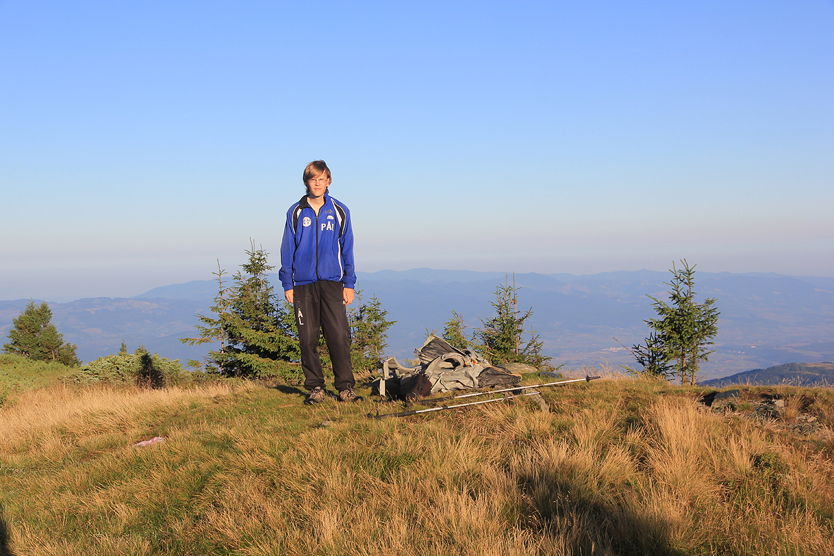
I did this climb with my son Pål Jørgen. To see more about our trip in Romania, go to
the overview page for this trip.
We left the trailhead at 0645 and quickly arrived at the area where the trail forks off from the
road and heads steeply uphill. This trail has clear signs of erosion from water that sometimes comes down
here. The morning was nice and we gained the main ridge fairly quickly. As the trail crosses the main summit
ridge of Piatra Graitoare, we decided to follow the tracks right
to the very summit. It was fairly easy to cross through the vegetation and thus make a short-cut back to the
main route. We noted the key (prominence) saddle along the way to our main objective.
The walk was nice and easy and we arrived at the summit at 0905 in the morning. The summit is separated from
the antenna complex.
We enjoyed the views and entertained the three local dogs before leaving at 0920. The hike
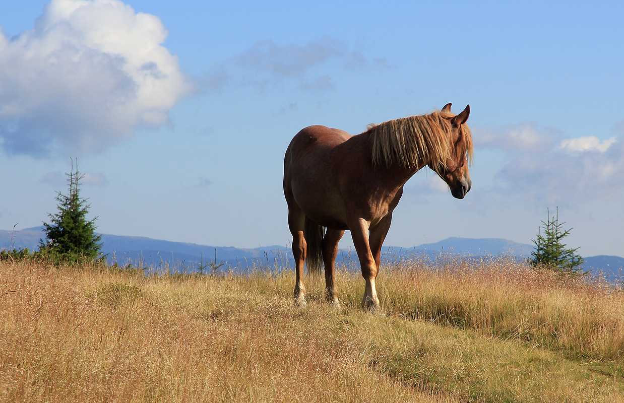
back was equally nice. We ran across a nice horse having
his harem a bit further downhill, measured the prominence
saddle of Piatra Graitoare carefully, before gaining its ridge. As we descended the final slope, a few other hikers
were coming uphill. We were back by the car by 1115,
leaving us adequate time to drive towards our next and final goal.