How to get there:
This peak is fairly easy to access from the city of Yanbu.
Two possible trailheads may be considered.
From the west:
Drive to location N24.26349, E038.87097, elevation about 640m.
This trailhead has a fair amount of cumbersome terrain and near 1300 meter
of ascent.
From the north:
A good trailhead would be near location N24.33413, E038.94099, elevation near 1750 meter,
This trailhead is much higher and the climb from here seems much better than from the west.
It is, however, a bit unclear how to access this location. In January 2024, a 4WD vehicle
was needed in order to drive up the canyon from the west. There may be an alternate route
comning in from the north.
Route description:
The recommended start would be from the north trailhead, however this has not been checked out.
This description is only partial, from the trailhead on the west side.
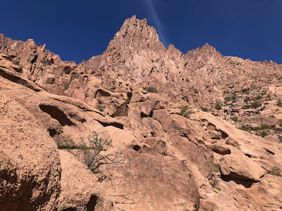
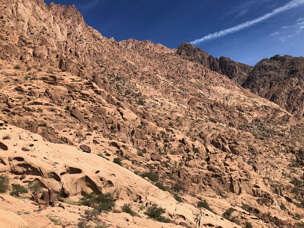
Hike into the valley going east. You should be able to see a faint trail leading the best way.
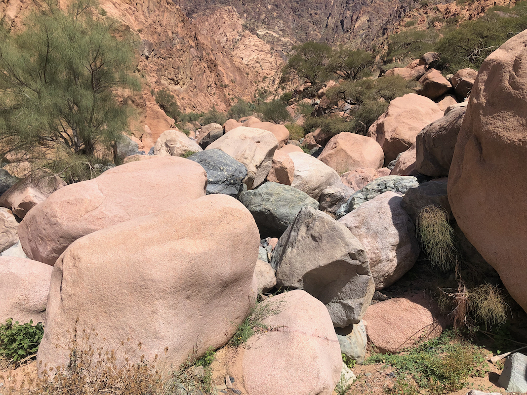
This route gets more cumbersome due to large boulders as you get farther in.
Continue past the main fork of (dry) rivers near location
N24.27038, E038.89565, elevation about 915 meter.
Ascend gradually, but stay right if possible. There are some steep gullys that runs downhill, it
is important not to be blocked out by these. The upper part of this route, above 1200 meter
of elevation, has not been checked.
Comments:
If executed in an optimal way, this day should have been my second
day climbing the ultra Jebel Jar.
However, I did underestimate the effort required and tried to do that as a single day climb.
Mark informed me that he had Saturday off and wanted to go hiking with me this day. I quickly decided
that the best we could do would be to explore the nearby Ribu called
Jabal Al Anagen. We left my hotel at 0600, the idea was to drive to
the north trailhead, then attempt to get a "bonus" Ribu. However, the last part of the road up
a steep canyon was in bad shape, one needed a 4WD to drive up there. We then went to the west
trailhead. I assumed that we would not be able to summit from there in the available time. My rental car
should return by 1800, then I had a flight later that evening.
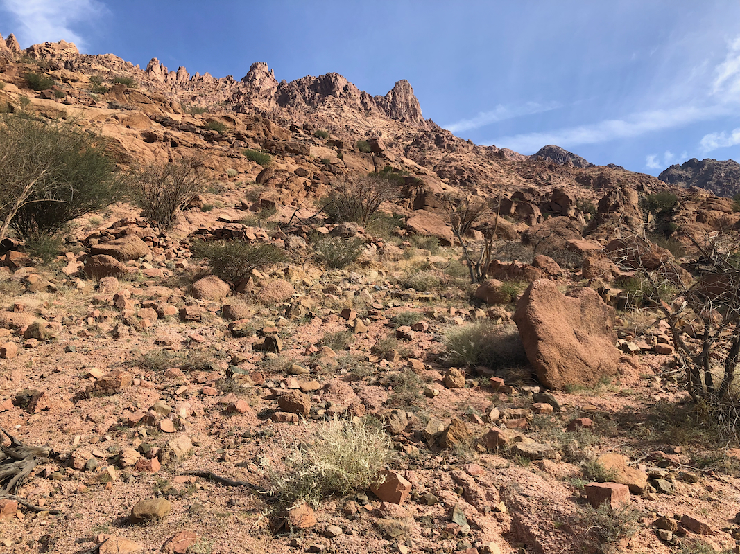
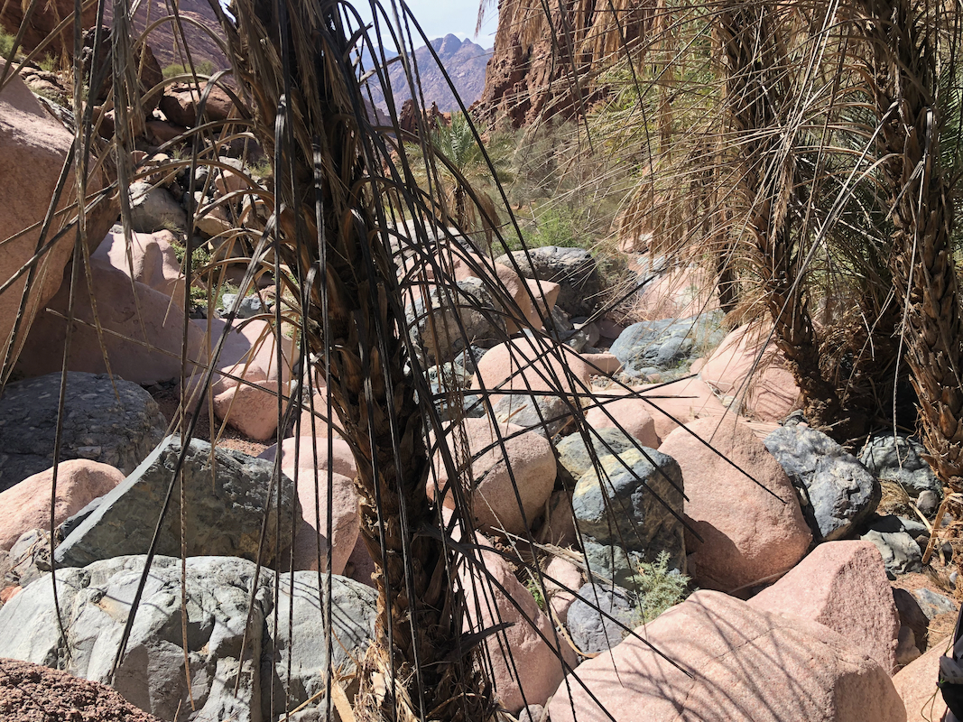
We parked at the trailhead, and started hiking at 0900. The valley soon narrowed to the familiar
canyon filled with large boulders. I was a bit tired of this terrain by now and suggested that we
should leave the canyon, then do an ascending traverse
on the slope above. This worked quite well,
the main trouble being a few smaller canyons
running perpendicular downslope from our direction
of travel. We passed several without much loss of elevation, but then around 1200, hit a pretty deep
one that would require time to cross.
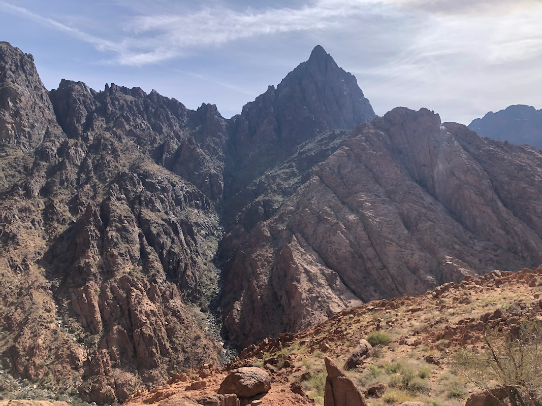
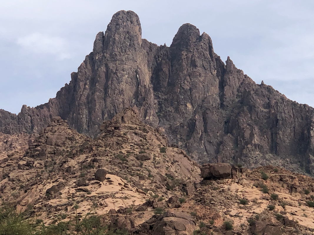
Good views back down as well as across the main drainage.
It was clear that we could not reach the summit within the
time available. Therefore, we decided to descend, now more
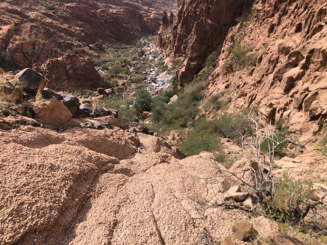
directly into the canyon, then follow it out.
This descent took one hour and the next hour got us down the worst,
upper section of the canyon.
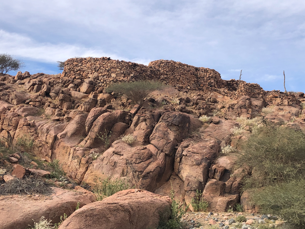
Shortly before reaching the car, we noticed
some stone huts
that we had noticed in the morning.
We merged with our uphill track and
made it back to the car by 1515.
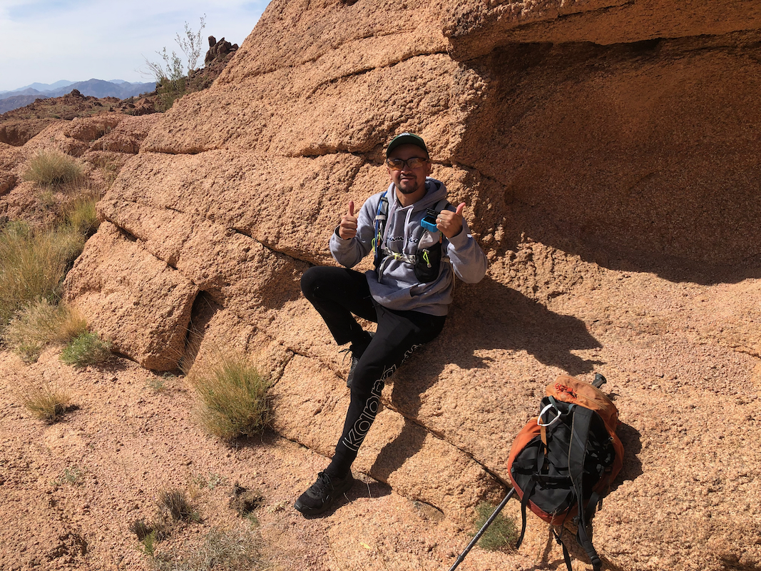
Many thanks to Mark for good company!
Observation on driving:
I had 2 different rental cars in Saudi Arabia and drove approximately 800 kilometer.
I will definitely name this country "U-turn country" with regards to driving. In about one
week I certainly made more U-turns than I had done in the preceeding 5 years. Not because
of wrong navigation. Most city roads are divided and your destination is almost
always on the "other side". You then need to drive to next possible U-turn spot, this may be
one kilometer. You do the U-turn, drive back, then possibly make a right turn and discover
that again your destination is on the other side. Smile, drive another kilometer, make another
U-turn, then finally arrive at your destination.etc.