Mont Vinaigre
- Mont Vinaigre
- 614 m
- Primary factor 464 m
- Estérel, France
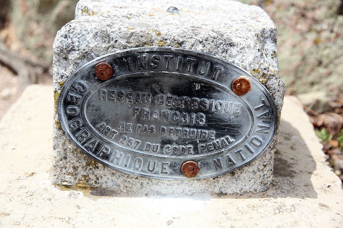
- Location: North 43:30.127 East 006:49.300(GPS on the summit)
- Difficulty: YDS class 1
- Climbed July 3, 2012.
Mont Vinaigre
|
|
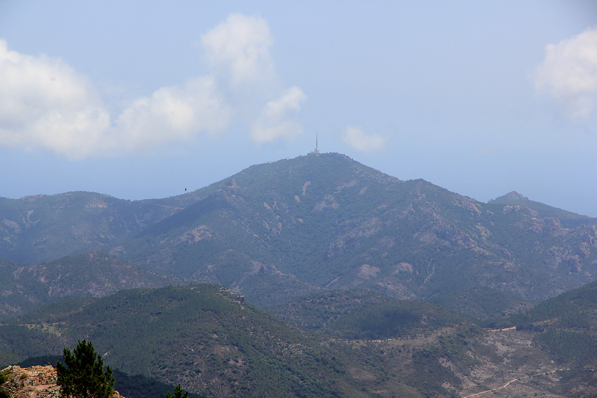
Here is an overview of peaks climbed at my Europe 2012 summer trip.
Route description:
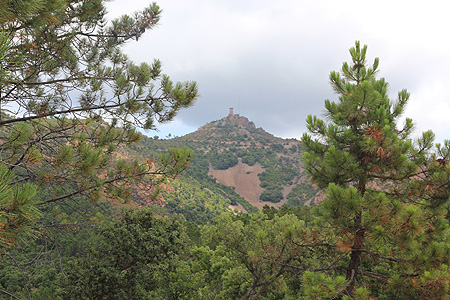
Take a few wooden steps directly from the parking, then head uphill until you reach a more
horizontal trail. This is the GR-51 trail. Follow this trail to the right. The trail intersects
a paved road a few times, (sometimes following the road a little), you pass a marked helicopter
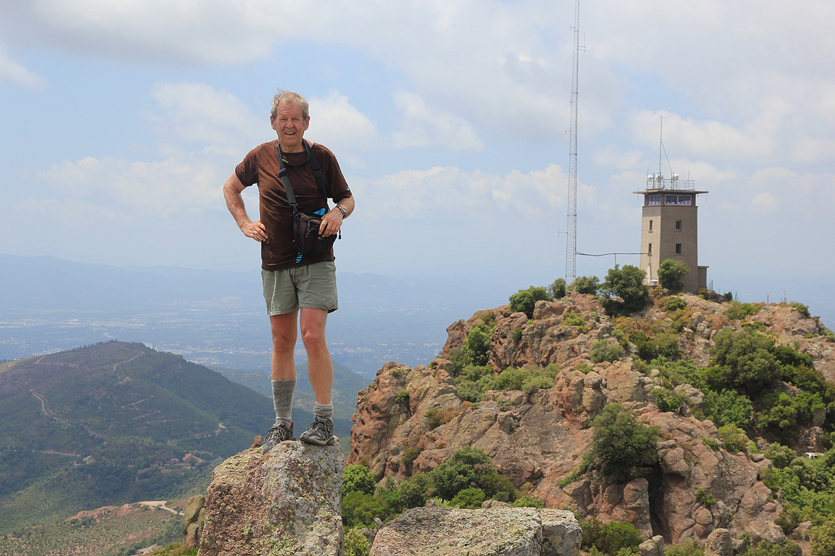
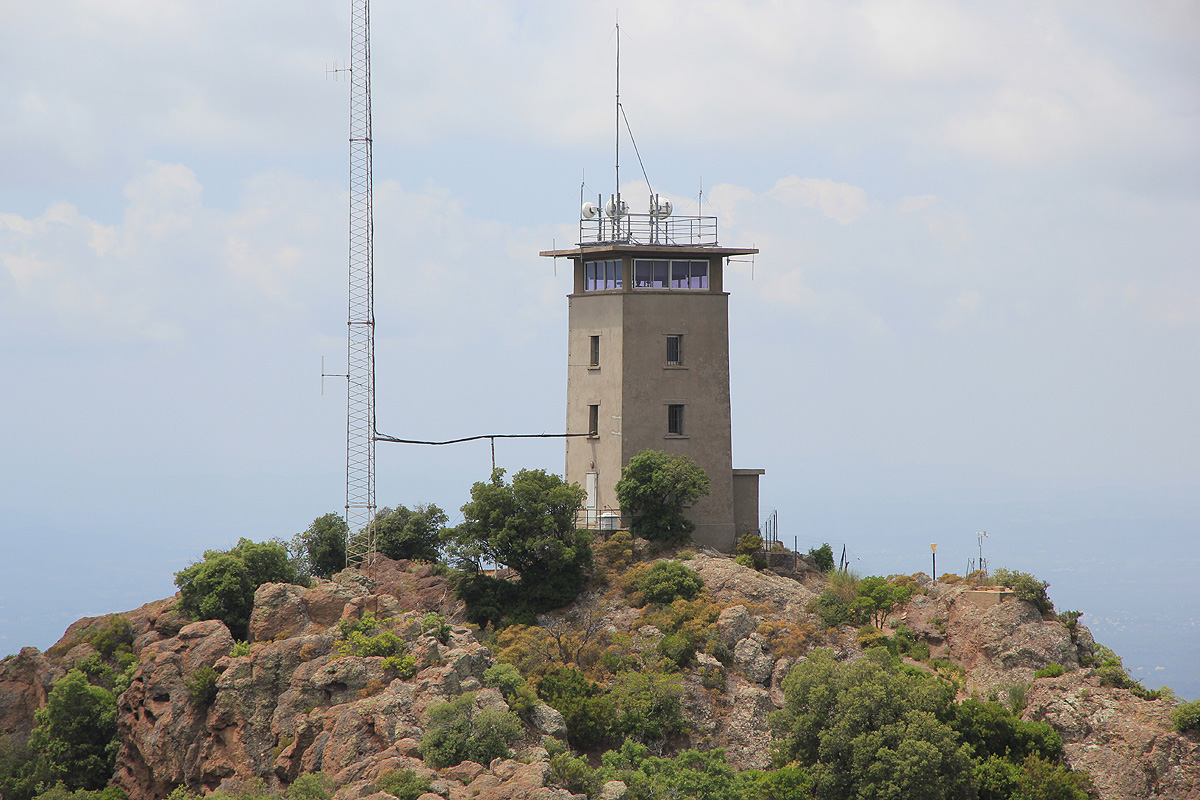
landing spot and ascend until you have a structure with antennas on your left. Head onwards and
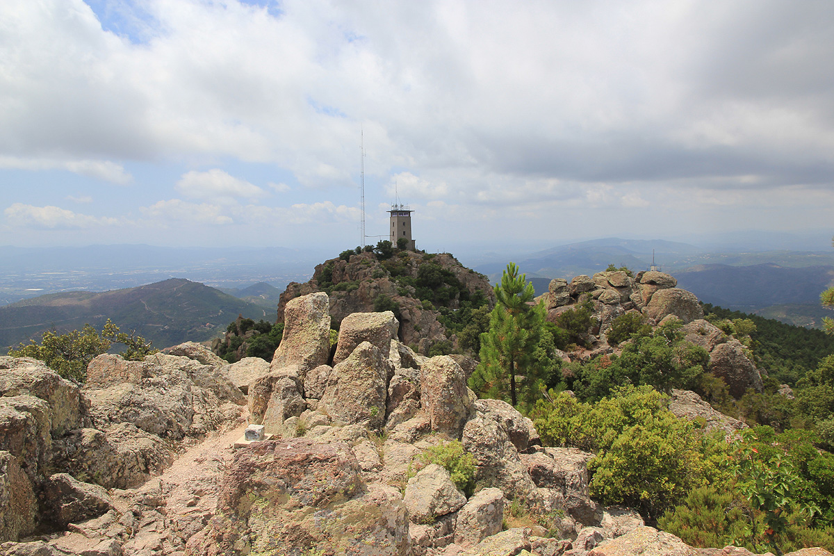
your trail will ascend the final hill with a fenced
off tower to your right and the highest point
with an antenna more left. There is a concrete viewing area among the top boulders.
To make this hike a round trip, continue a bit more steeply down from the viewing area on the far side,
the trail is marked with painted stripes. This trail will take you down to the east. Eventually, you will
see a water tank, then turn right and get down to a dirt road that forks. Take the rightmost fork (the upper road).
Note that the trail markers separates from your route at this point. Follow this road as it winds around
the mountain back to the forest lodge.
Comments:
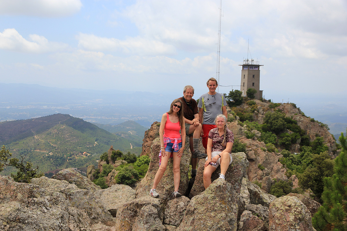
I did this climb with Heidi and Vibeke and Per (Isaksen).
We were enjoying their hospitality a couple of days before heading on to Italy.
We left at 1300, made the summit at 1335, then continued a loop hike getting back to
the car around 1500. Thanks to Vibeke and Per for letting us stay with them in their
very nice house in St. Raphael.