Location: North 60:12.606 East 005:06.608 (GPS on the summit)
Difficulty: YDS class 1
Climbed October 16, 2011.
Information:
How to get there:
Drive from Bergen to Sotra. As you drive through the long tunnel on Sotra you will
come out into a traffic circle. Turn left here and follow Hwy. 555 towards Klokkarvik.
Eventually, Hwy. 555 forms a circle, turn left where a sign says "Klokkarvik 7" and
drive to Klokkarvik. Note the intersection where a short road (Hwy. 556) forks left and
runs down to a ferry. The sign says Hjellestad. Measure from here and continue on
Hwy. 555. Drive about 1.8 kilometer, you should be going downhill. Near the bottom of this
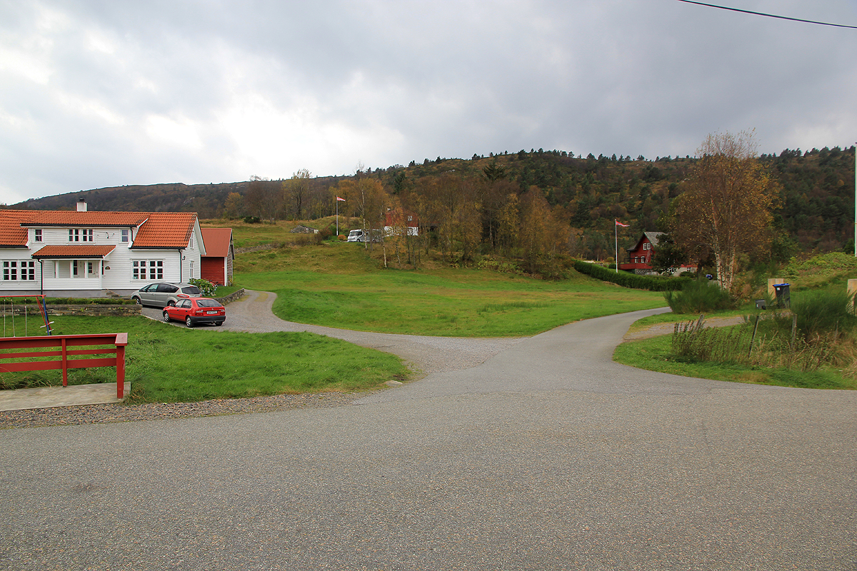
hill, pretty near the Førdespollen fjord, find a road that runs uphill to your right hand side.
Take this road and follow it straight uphill to a hilltop with parking on your right. This is about
kilometer 2.3. Park here, this is the trailhead, location N60:12.989 E005:08.089, elevation
about 44 meter.
Route description:
Head across the road and take the left fork.
Slightly further, stay left again, you
will then see the trail going slightly right as it leaves the small road. This trail
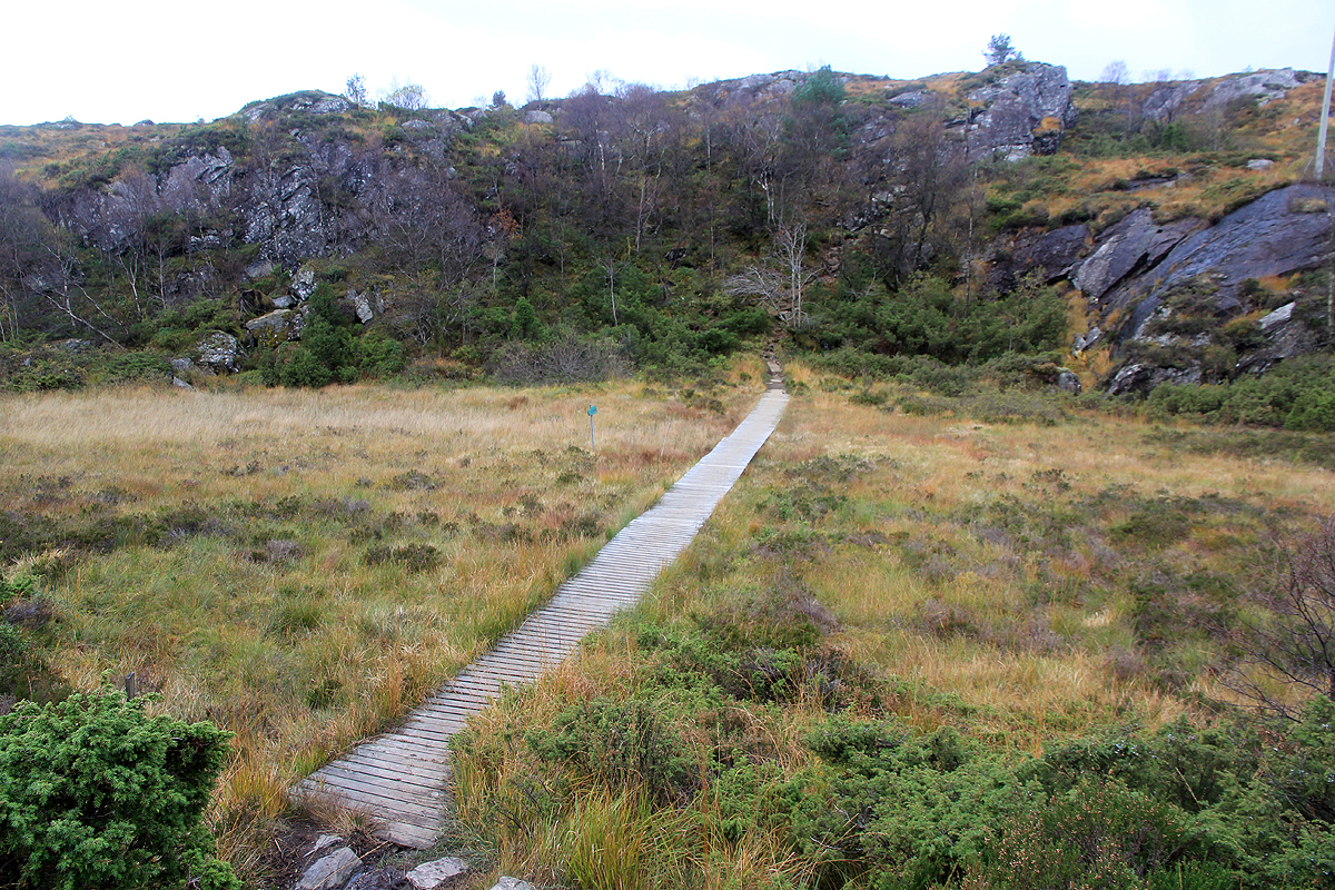
is well developed with stones placed to avoid getting wet. The trail heads uphill
towards the left, then bends right as it follows a small gully. Higher up, it
crosses a small meadow on a boardwalk before starting its final ascent
towards the summit.
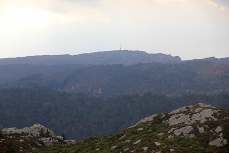
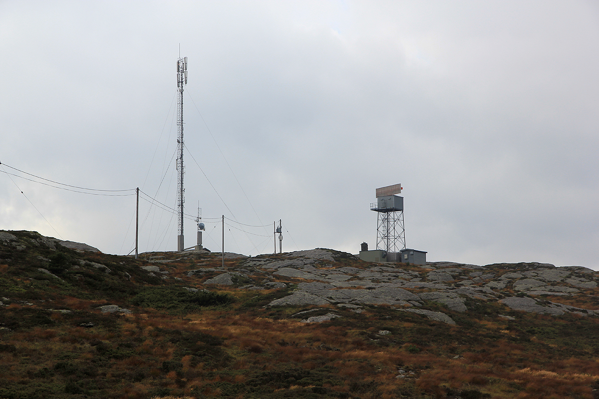
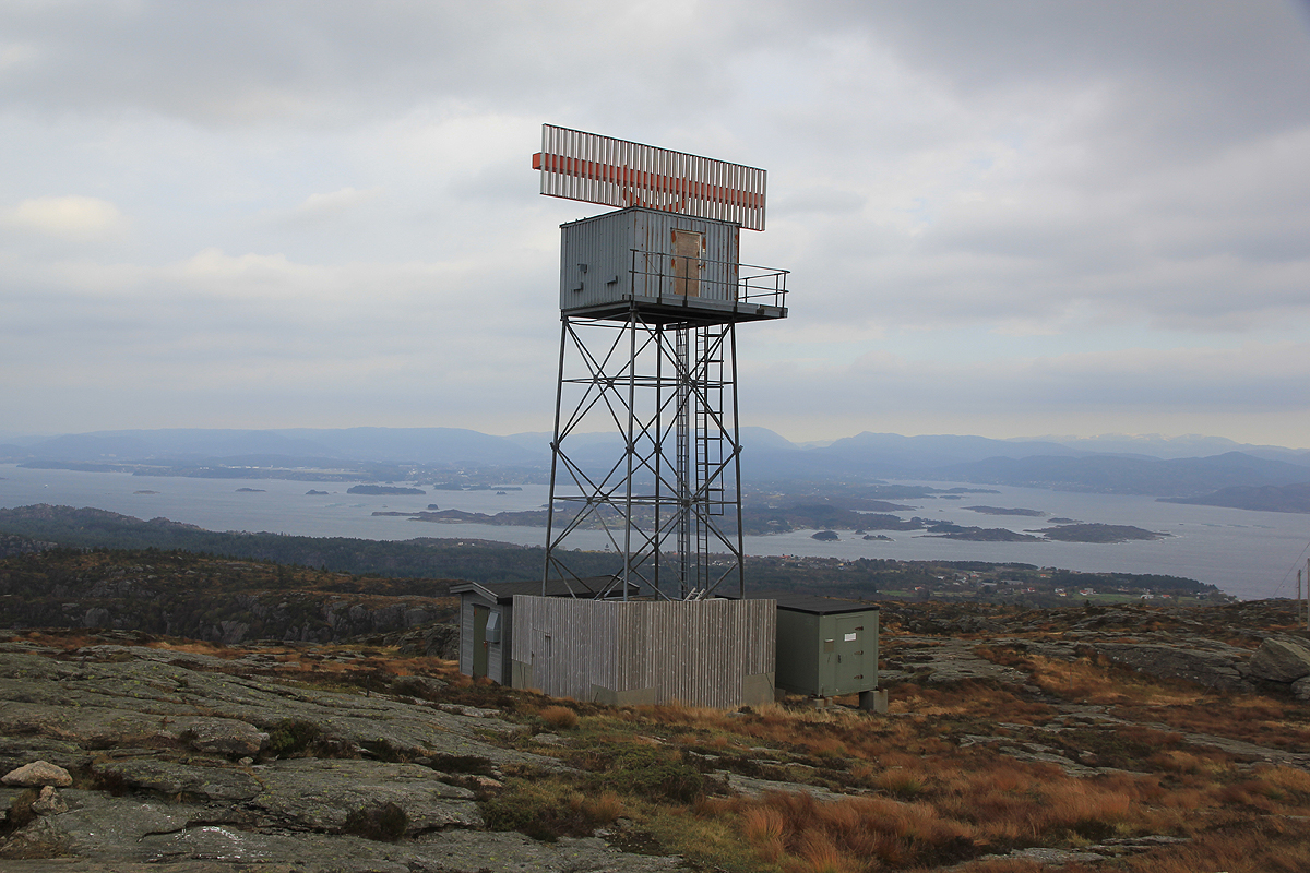
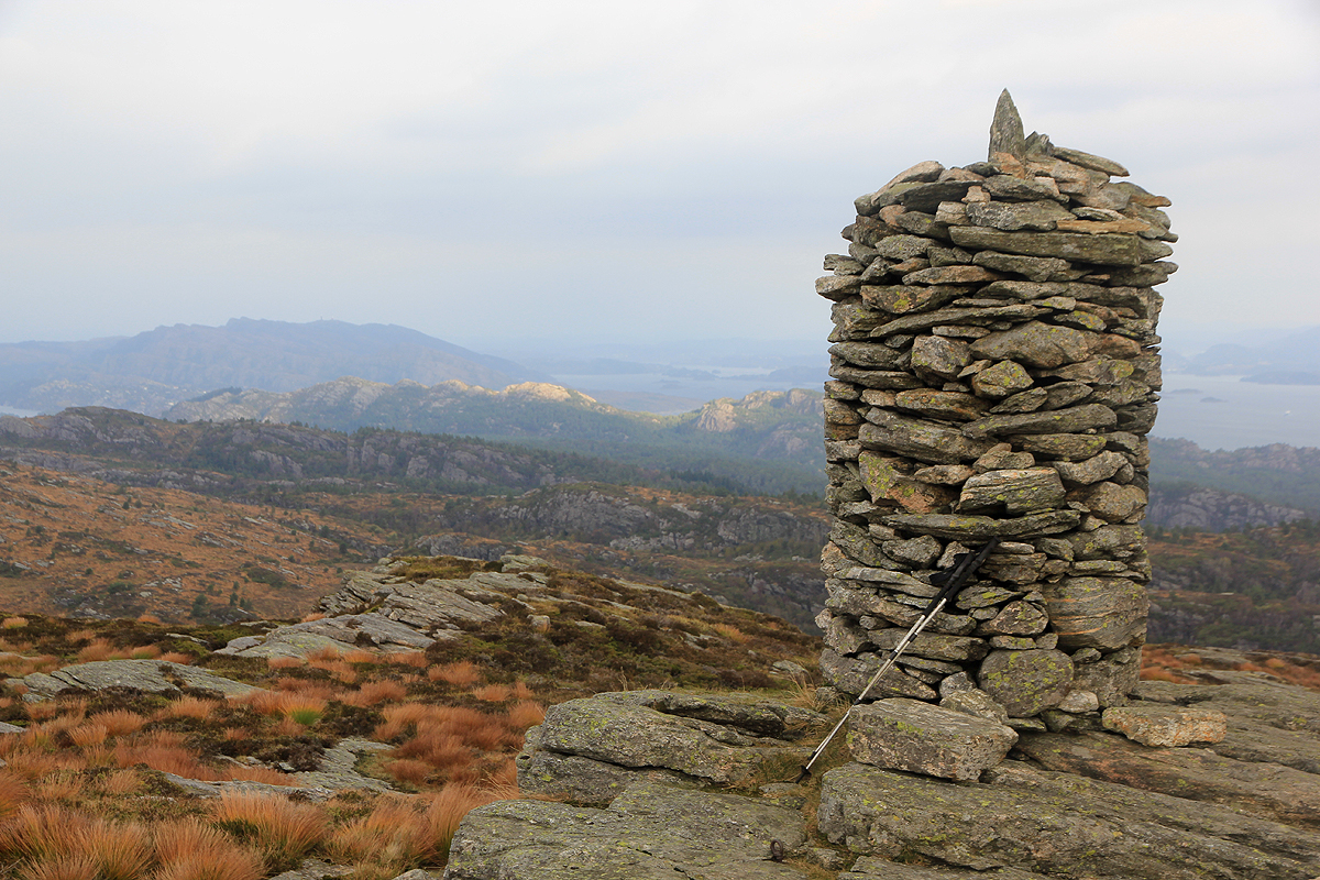
There is a tall antenna as well as a radar on the top. Just beyond
the radar is the highest point marked with a large, nice cairn. Comments:
I started out at 1130 and arrived at the summit by 1200. A very nice trail and
quite a few people, clearly a popular destination among the locals. After about
10 minutes, I headed back down, taking about the same time as my ascent.
I drove a bit back, then visited the very nice looking
Sangoltshornet before driving home to Bergen.