Location: North 60.71579, East 005.32742 (GPS at the summit)
Climbed August 8, 2015
Difficulty YDS class 2
Information:
How to get there:
Drive E-16 from Bergen, then in the traffic circle at Trengereid, take the first exit onto
Hwy. 7. Follow this road across to the Samnanger fjord, then leave the fjord and drive
through a pretty long tunnel that exit into a traffic circle where Hwy. 48 runs south.
Measure from this traffic circle. First, continue 1.3 kilometer along Hwy. 7. Turn right,
leaving Hwy. 7, at this point. The road first runs parallel to Hwy. 7, then heads uphill.
Follow this road 2.7 kilometer from the turn-off. There is a small, signed area for parking
here. There is a box with envelopes and a box to deposit, toll for parking is NOK 50 (2015).
Park here, location N60.36421 E005.81259, elevation about 290 meter.
Route description:
This report describes a route that traverses the long ridge that essentially starts near the
trailhead and continues all the way to the summit. There may be easier routes to get to this
summit. The first question is how to get up on the ridge, steep cliffs are visible from the
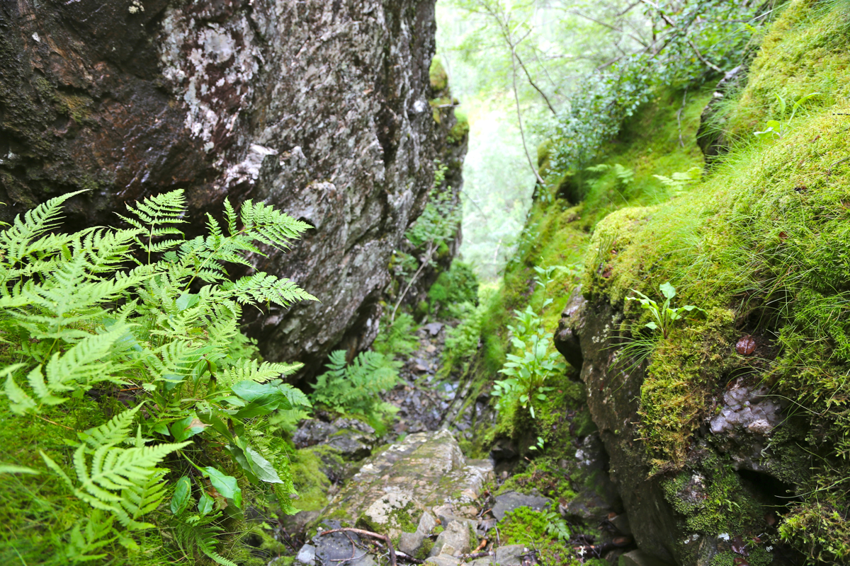
trailhead. Take the left fork on the small road that serves private cabins, continue a short distance
along the creek Haugselva, look for a pretty obvious gully, wide at the lower end, more distinct
higher up. Ascend here. This gully becomes rather sharp and narrow near its upper end. There may be
other alternatives. Carefully ascend this gully, beware of possibly loose rocks. Either climb
all the way out at the very narrow upper end or climb out to your left side, care should be
exercised here.
Continue in much easier terrain, across and up in order to reach the main crest of the ridge.
Next, turn right and ascend the ridge. The best route generally stays high as you continue to
Tindafjellet, 908 meter. Some light scrambling may be required depending on your local choice of route, however,
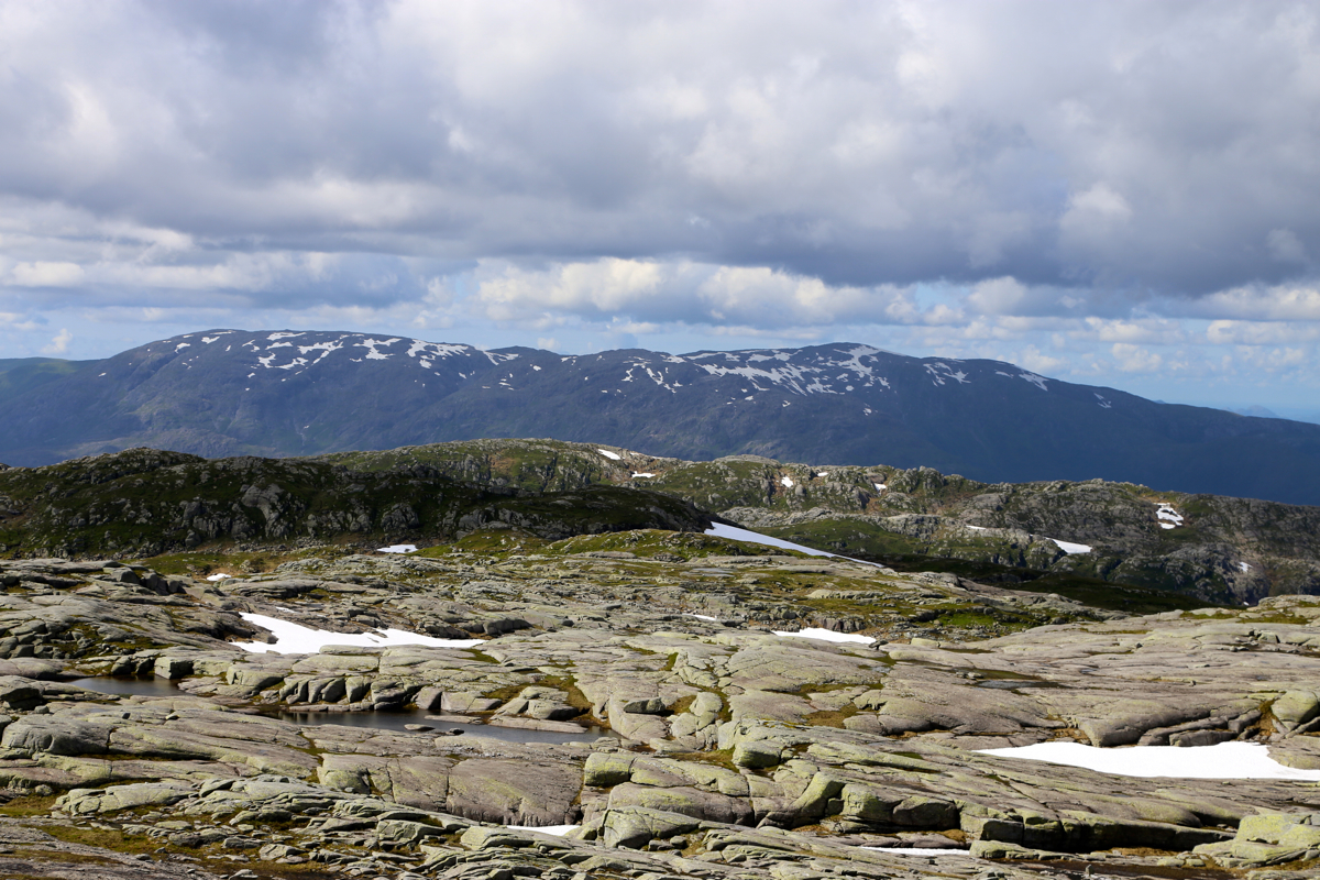
one should be able to find a class 2 route with some careful navigation. After Tindafjellet, the ridge
becomes much wider, essentially a plateau, and you will find the summit at the far end.
A brief description of the route directly across to Burlifjellet is given below in
the next section.
Comments:
The forecast called for a single day of good weather, this summer did not have many.
I decided to explore the mountains just east of Samnanger, an area I had not visited before.
A late start, I paid for parking and was ready to go at 1230.
It was not at all obvious to me how to get up on this mountain ridge. Very steepish with an
abundance of cliffs. I walked up the dirt road serving local cabins, taking the left fork, I
soon walked across the Haugselva creek, while looking uphill on my left for a possible route.
I soon noticed what looked like a possible route and headed uphill. The initial section
was easy, but higher up, this gully narrowed and got a bit steeper. Very interesting,
the route looked promising.
Near the top, I had a choice of scrambling directly to the top in a very
narrow, short stretch, or climbing out on the left side across steep moss. I went left and quickly
on easier terrain. The rest of the hike was really nice, this ridge is quite rocky up to
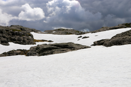
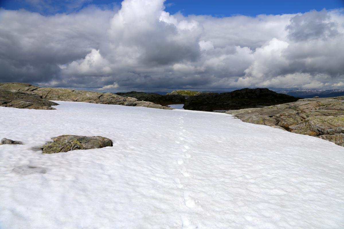
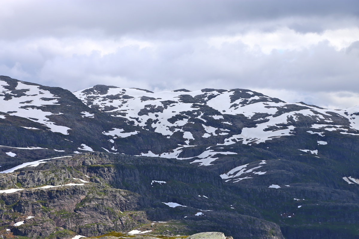
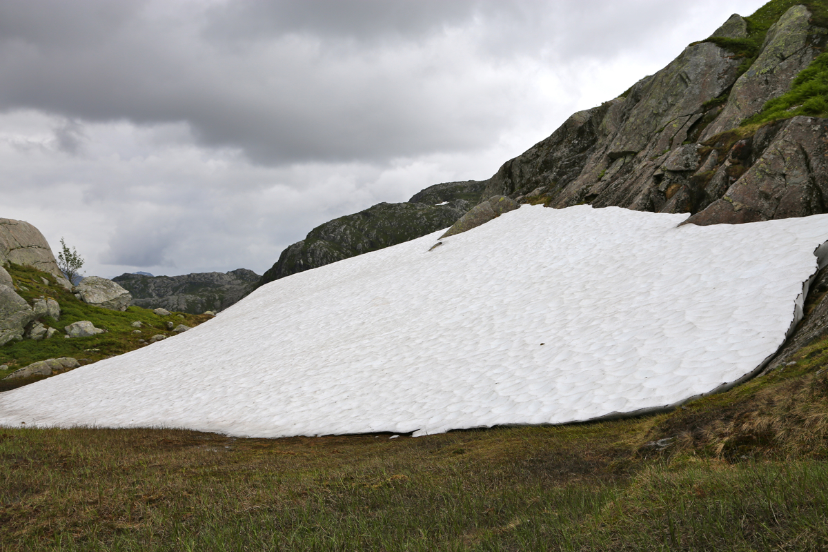
Tindafjellet, then much more gentle across to the main summit. After a winter with more snow
than normal, then a cold summer, the amount of snow
that will survive til next winter is
unbelivable. This is an area below 1000 meter of elevation, still in many areas there is more
snow cover than terrain without snow, and this is August 8th.
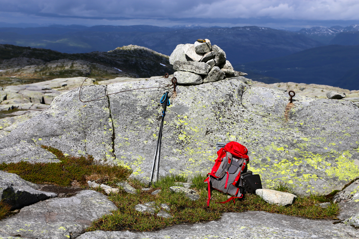
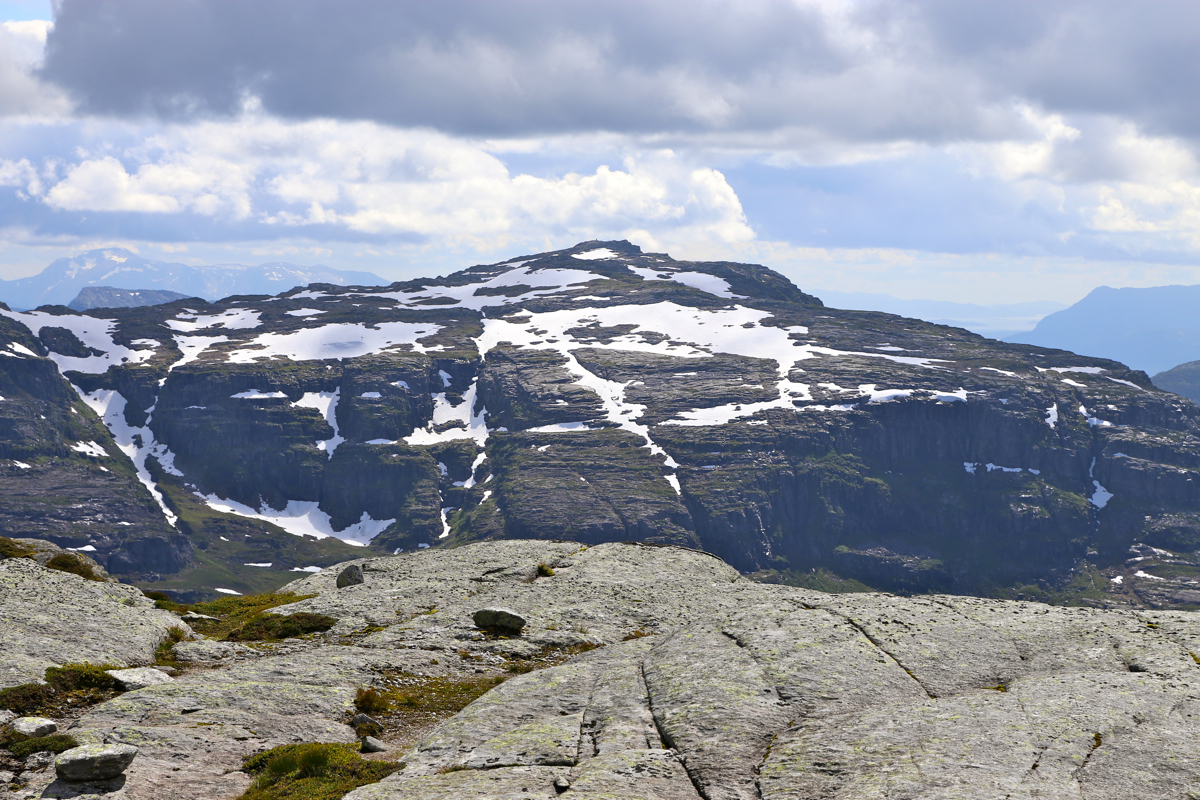
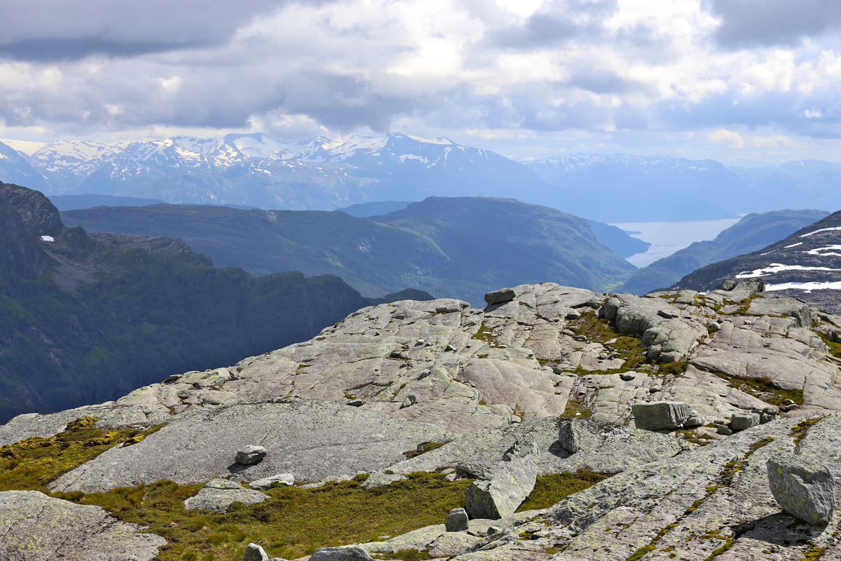
I arrived at the summit at 1440, the view was nice.
I looked across to Ottanosa, then more east
to the higher mountains with even more snow than here.
Leaving at 1450, I now headed directly towards Burlifjellet. I crossed slightly north of
Solafjellet, a somewhat steep descent, then an almost equally steep ascent that brought
me directly to the summit cairn.
I was there at 1610 and spent about 10 minutes there. In many ways, the views were better
than from the higher summit. I returned to my car at 1730. For more details about the
last part of this hike, consult my trip report
under Burlifjellet.