Location: North 70:35.063, East 023:51.558 (GPS on the summit)
Difficulty: YDS class 2.
Climbed September 3, 2007.
Information:
How to get there:
This mountain is near the city of Hammerfest. From the south, drive Hwy. E-6
from Alta, north to the intersection at Skaidi, then take Hwy. 94 towards
Hammerfest. Cross Kvalsundet on a good sized bridge and continue towards
Hammerfest until you arrive at the place marked on the map as Grøtnes.
Find parking here. It is possible to park off the road just before the road
makes a right turn, this is near the bottom of a gentle downhill slope,
location N70:34.081, E023:41.860, elevation 14 meter. Park here, this is
the trailhead.
Route description:
Hike uphill more or less along the border between Hammerfest and Kvalsund kommuner.
This direction will take you slightly south of Grøtneshumpen (582 m), then gain the
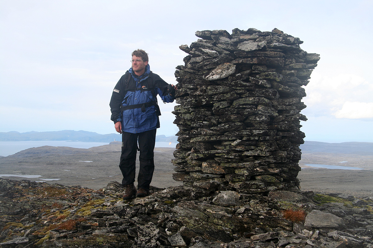
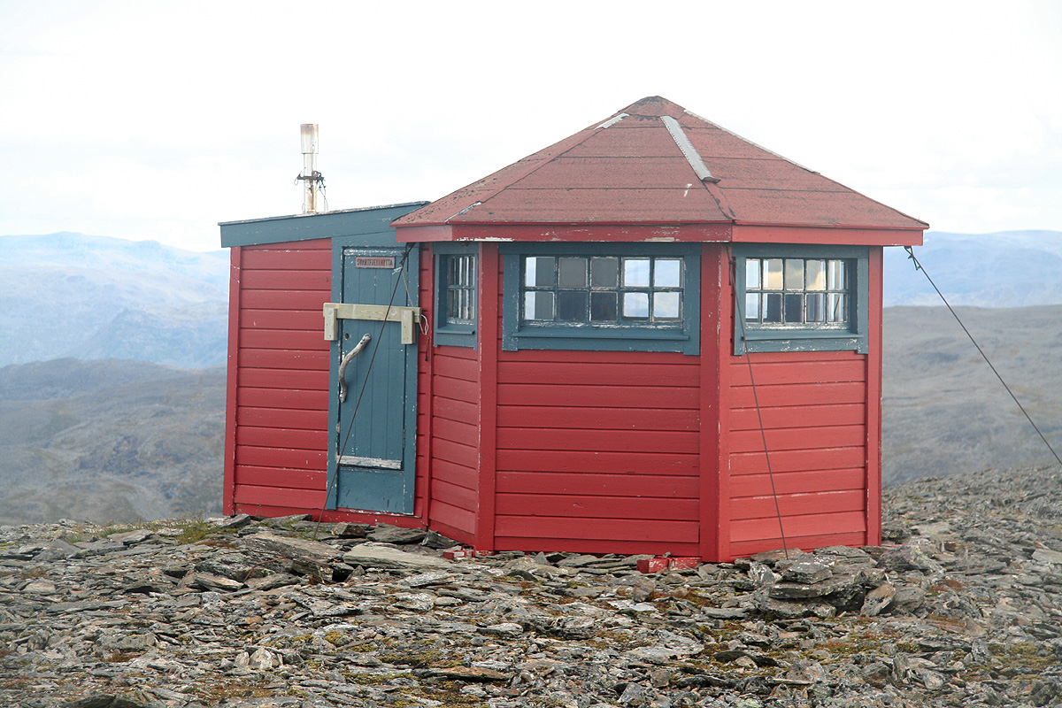
general plateau between this mountain and Svartfjellet. Continue across fairly flat terrain
to Svartfjellet. This "hump" can be recognized as it has a cairn as well as a small hut
on its summit.
Comments:
I did this climb together with my friend Geir Åke Dahlen.
This climb continued our trip after our memorable
ascent of Kjerringa on the wild island
Stjernøya the day before. Our original plan called for climbing
Øksfjordjøkulen, however, since Kjerringa took more than 13 hours we
did not catch the boat yesterday and needed an easier goal.
The weather was quite reasonable as we started out around 10:45 and made the summit at 1300.
After about 20 minutes there, we headed back down reaching the car at 1500.
Resources:
Images
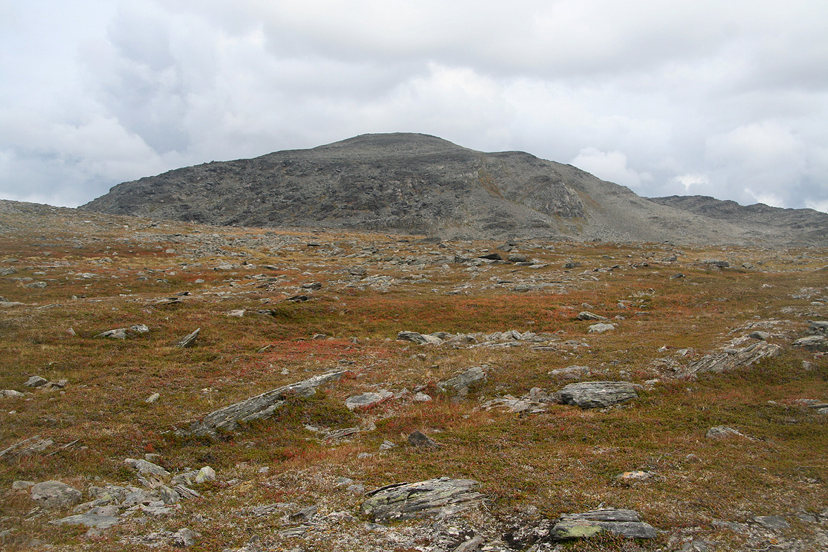
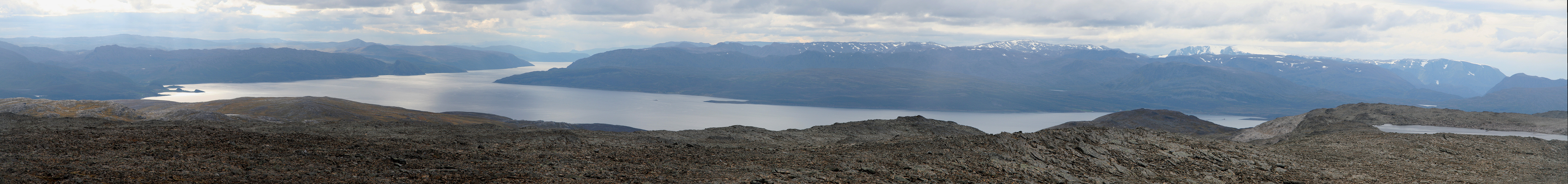
Svartfjellet,
the way it looks when hiking our way. There are several local
summits. The highest point is several kilometer behind what can be seen here.