How to get there:
From Bergen, drive north on E-39 and cross the large floating bridge. Immediately after
this bridge, turn right, signs say Holsnøy. Go straight in a traffic circle and
cross the bridge to Holsnøy. Continue along Hwy. 564 until you see the road going left
with a sign saying Tveit. Take this road, then turn left after a bit more than one kilometer.
Drive until you find two small access roads going left across a field. Drive across and park
without blocking any access. Ask about parking if you see any local person around. I parked at
location N60.54116 E005.15142, elevation a bit more than 40 meter.
Route description:
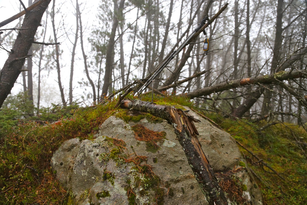
Head uphill, then a bit right in order to access the steeper slope going uphill in a forest
of large spruce trees. There is no brush and the terrain is therefore easy to walk despite its
steepness. Higher up, there are more fallen trees and walking may be a bit cumbersome. The
summit is not far away, a good sized rock occupies the highest point.
Comments:
It was the first day of rain in a very long time. I had planned to go north,
but the forecast made me change plans. My plan B was a trip to Jotunheimen,
however the forecast eventually predicted (correctly!) that we would have rain
everywhere.
I started out in pouring rain at 1155. I summited at 1220 and made it back down to
the car by 1250. I next decided to climb Brakstadfjellet
before returning to Bergen.
