Location: North 62:53.377, East 007:05.657, (GPS at the summit)
Climbed November 6th. 2010.
Difficulty: YDS class 1.
Information:
How to get there:
Starting from Molde, head north on Hwy. 64, there is a toll
tunnel (NOK 20, 2010), continue to the traffic circle and go left on
Hwy. 663 to Einesvågen. Go through Einesvågen and locate
the fork where Hwy. 664 continues straight while Hwy. 663 makes a sharp
right. Measure form here. After 1.0 kilometer, turn left onto a dirtroad
with a sign saying "4 Ås." Go straight at kilometer 1.4, then locate
a small road forking right in a
big left curve. This should be at kilometer
2.1. Park here, right next to the small side road. This is the trailhead,
location N62:52.206, E007:07.284, elevation 49 m.
Route description:
Walk the road that starts at the trailhead. Very soon you will have
the lake Skjellbreia on your right side.
A short stroll and you arrive at the fork where
a road runs left. Take this road and pass the gate. Follow the road upphill to approximately
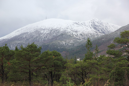
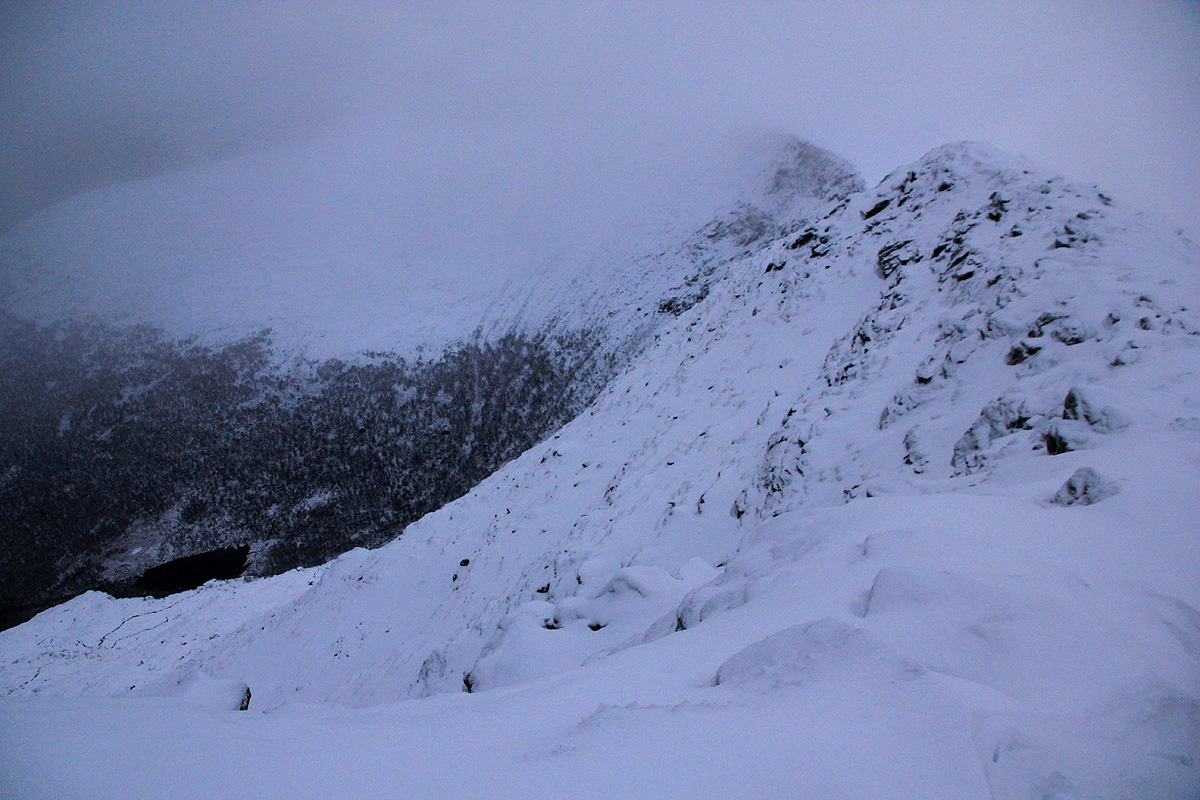
elevation 560 meter. You should see the saddle between Lauvhornet (618 m, further right) and
Skalten (left), above you. Head straight up to this saddle. (There is a communication tower
on Lauvhornet, the road serves this.) From the saddle, follow the ridge left
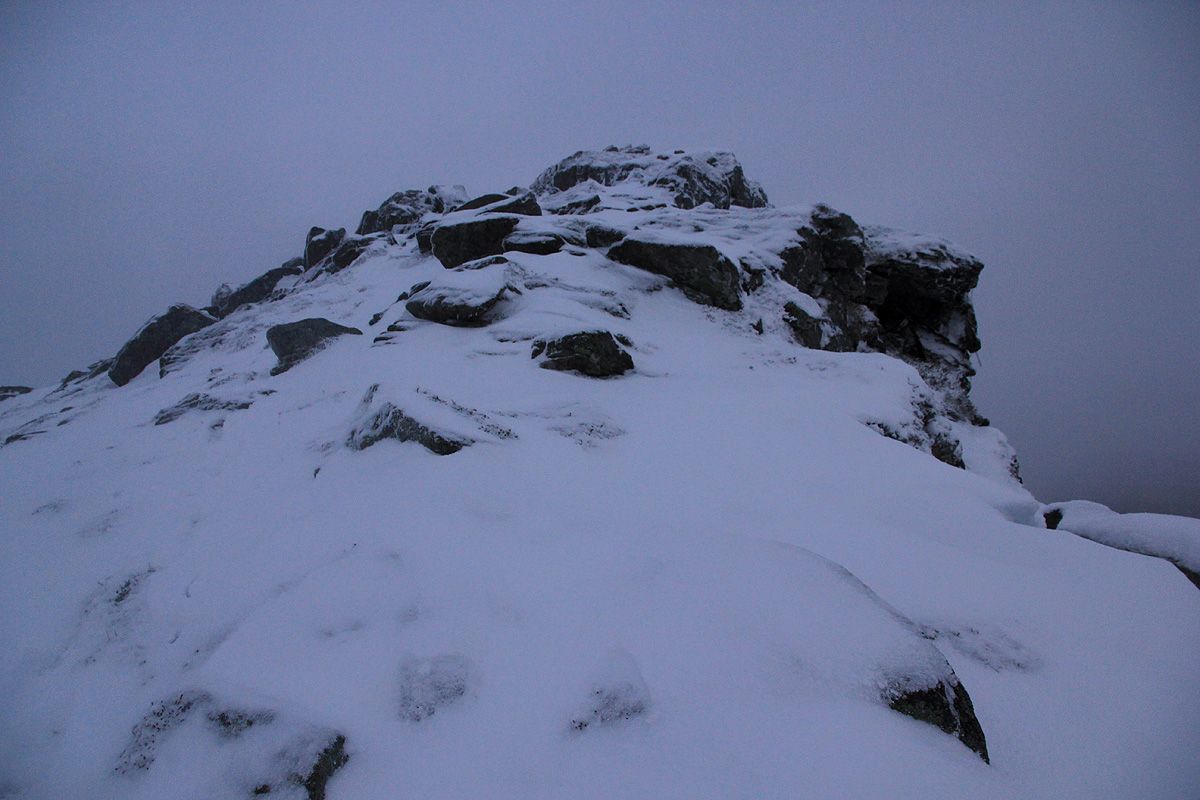
to the summit
of Skalten. The drop on the north
(your right) is steep, so stay a bit left if you have dense fog.
Comments:
I slept in my rental car (a BMW station wagon), and woke up early.
Breakfast, then on the trail by 0610. Fog and some strong gusts of wind
with a combination of hail/snow higher up.
I hit the summit at 0745, the place
did not invite to a long stay. I headed down at 0755 and was back at the car in one
hour at 0855. This trip continued to Melen.
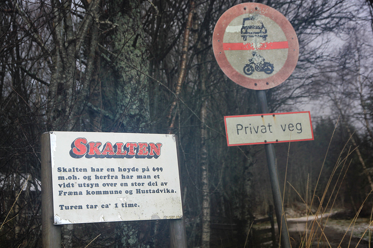
The sign at the trailhead saying that "the trip" takes about one hour must have
been thinking about "one way", my trip required 2:45, almost 3 times the estimate.