Location: North 45.97689, East 008.94734 (GPS on the summit)
Difficulty: YDS class 1
Climbed September 18, 2013.
Information:
How to get there:
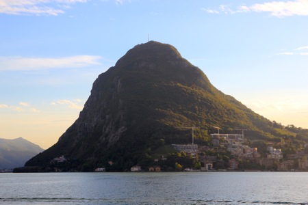
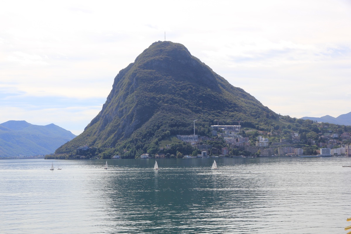
This mountain is a landmark and the local "sugarloaf" mountain of Lugano.
Follow the road along the lakefront towards the mountain, when you see hotel Eden,
turn right and follow the main road as it climbs with several turns. As the road
has a somewhat longer (gentle uphill) straight part, turn sharply left and follow
this road to a small parking area near the funicular. This trailhead has location
N45.98374, E008.94508, elevation about 465 meter.
One may also start essentially from the city, about two turns above hotel Eden
a yellow sign will direct you to the uphill trail.
Route description:
From the trailhead described above, follow the obvious trail as it crosses
the funicular on a small bridge then continues uphill. The trail is marked
with white and red stripes.
Comments:
I was attending the 22nd. conference on domain decomposition in Lugano.
This day I woke up early and felt that some exercise before breakfast would
be nice. I drove across town to the trailhead, and started out at 0535. The trail
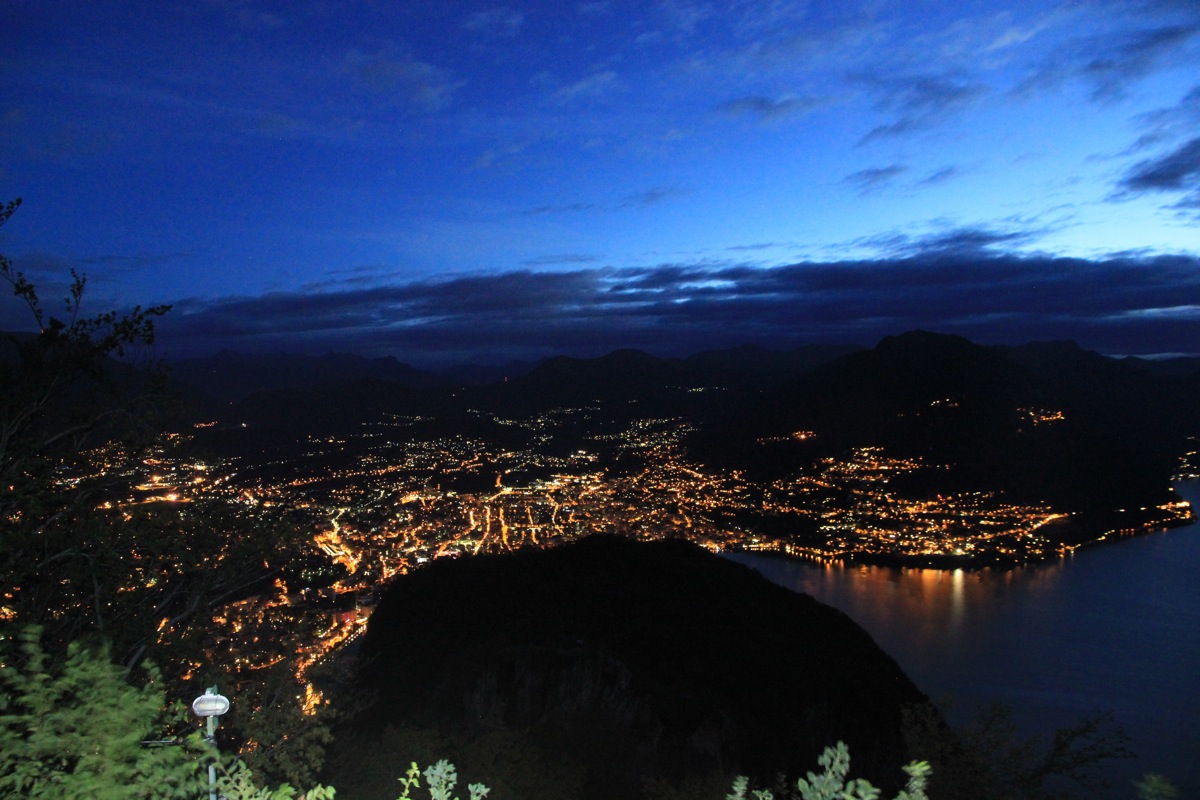
was nice and wide, with my strong headlamp the uphill walk was easy. I summited
at 0615 and enjoyed the fine view of the city Lugano.
It was still dark.
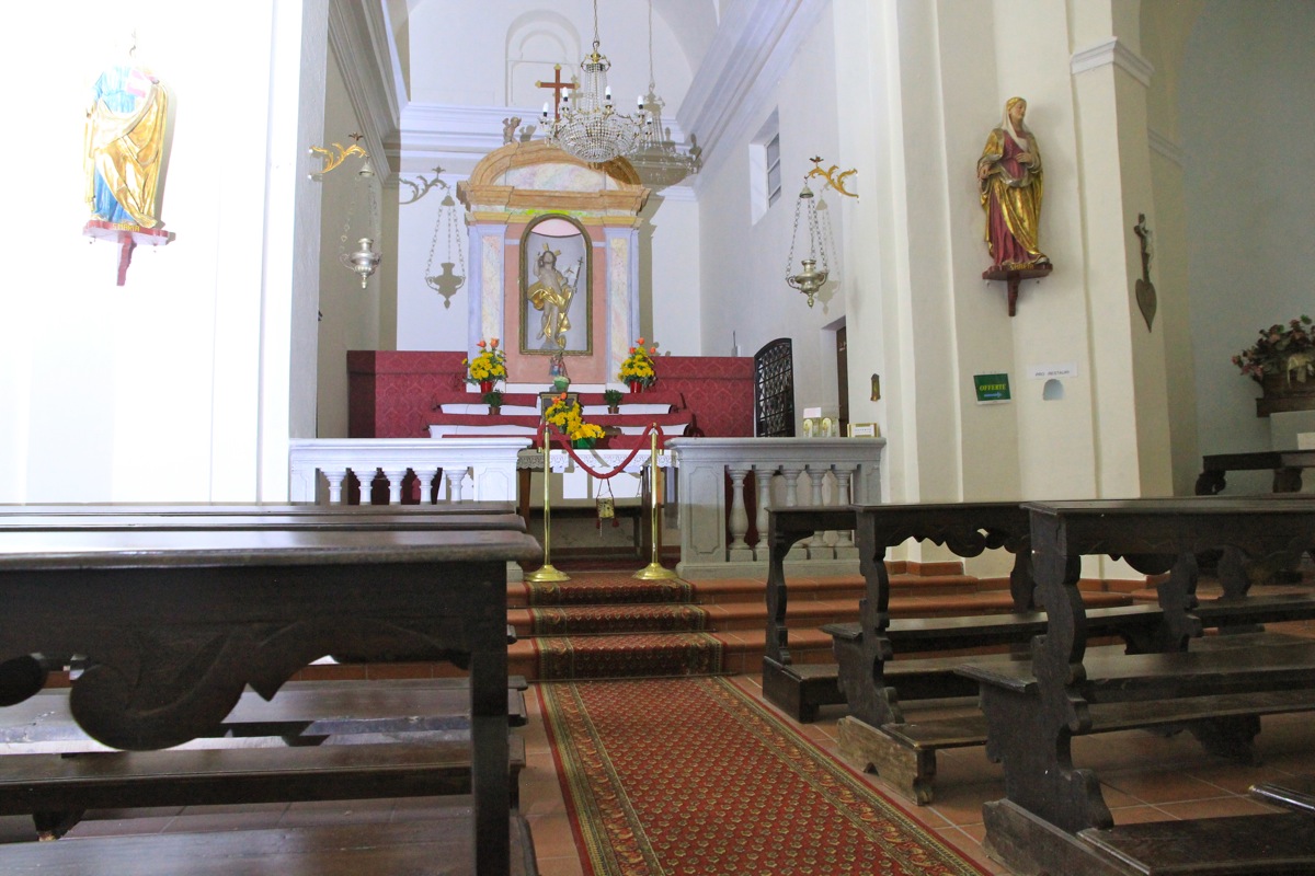
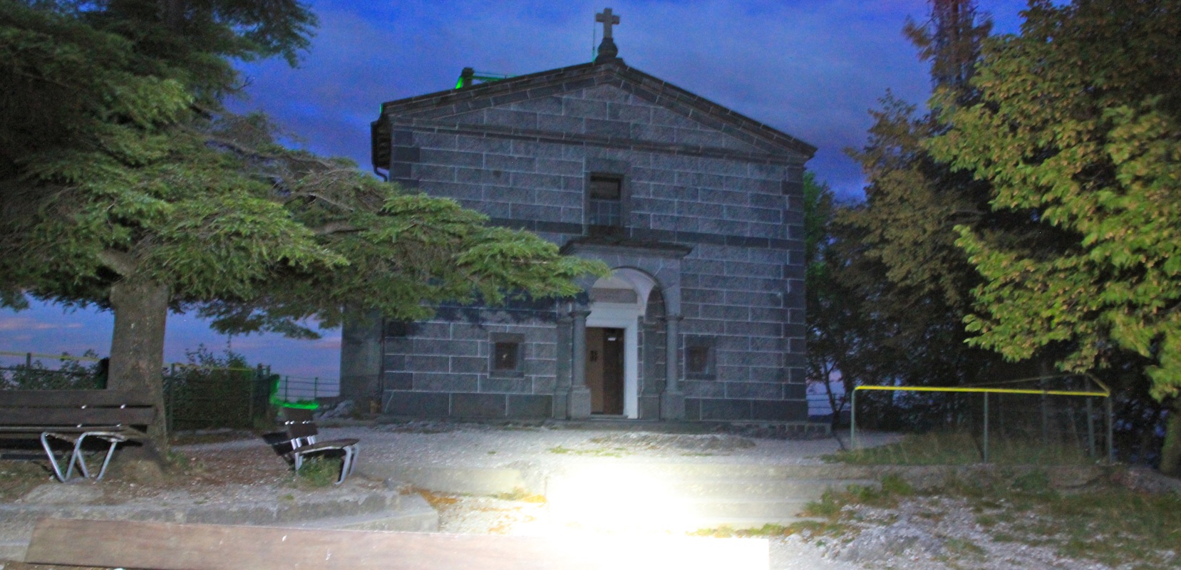
I made a brief visit to the church that is
located on the very top. Leaving at
0630, I was back down by my car a few minutes after 0700. Plenty of time to
be back at the hotel at 0715 getting ready for breakfast.