Location: North 69.87634, East 019.56380 (GPS at the summit)
Difficulty: (YDS) class 2
Climbed May 21. 2014
Information:
How to get there:
This mountain is the highest point on the island Reinøya, north
of Tromsø. From Tromsø, drive past the airport and across
to the island Kvaløya. Turn right and drive towards the island
Ringsøya. This island is connected via an under-sea tunnel. Continue
north on the east side of Ringsøya until the small village of
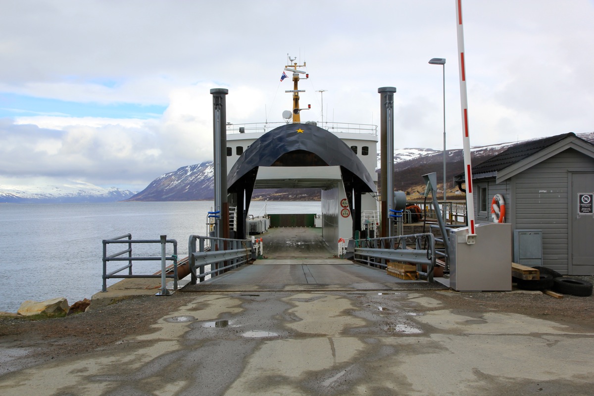
Hansnes. Here, a ferry can take you across to Reinøya.
Note that there are plans for building a sub-sea tunnel, however as of
2014, this project was not even started.
On Reinsøya, turn right (from the ferry) and drive south along the
west coast for a bit more than 8 kilometer. Look carefully for
a forest road that forks left.
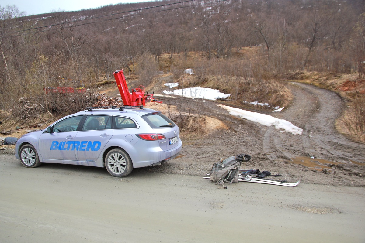
This is the trailhead, location N69.88471, E019.03840, elevation about
10 meter.
Route description:
Follow the forest road, it quickly turns right and starts an ascending
traverse across the slope. A bit higher, a rough (steep) path forks left,
take this short-cut. This route climbs, then enters a larger, open area.
Continue uphill across this field aiming for the upper, right corner.
From here, continue your climb in birch forest until you approach the
tree-line. Traverse to your right and climb gently as you enter a small
valley. From here, one may go directly to the col north of the peak, at
location N69.87989, E019.55709, elevation almost 700 meter.
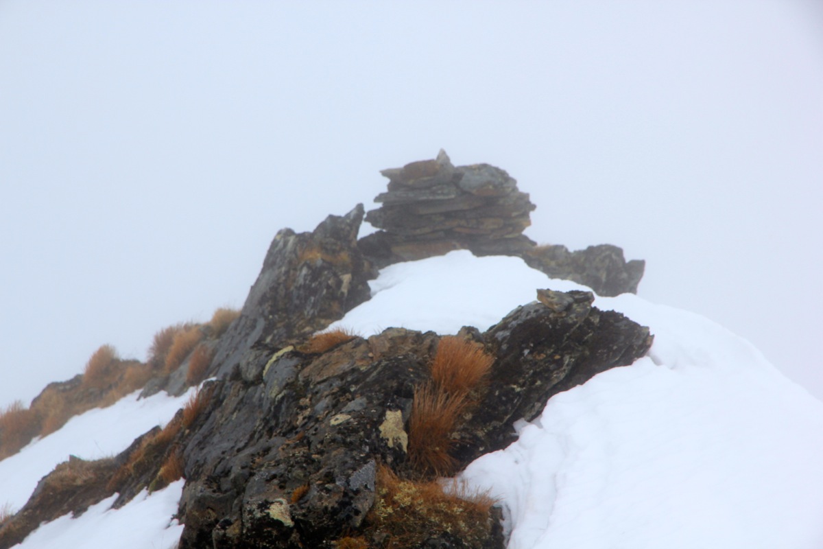
From this col, turn right and follow the broad (north) ridge to the
summit. There is a small cairn, however,
the highest point seems to be
about 10-15 meter further south.
Comments:
I was going to Tromsø in order to attend a board meeting, then planned
a small ski trip for the days before. My original plan was to attempt Skitntinden (1042m)
and Soltindan (1051m). However, it turned out that the avalanche situation was still
at level 3, therefore I decided to find some objectives that avoided any avalanche risk.
To complicate things more, SAS lost my ski bag on my flight from Bergen, the weather was
all rainy thus the first day in Tromsø became a working day in my hotel room.
The skis turned up and I decided to attempt the highest point on Reinøya.
After a nice drive and subsequent ferry, I arrived at the trailhead around 1100 and
was ready to go at 1110. I carried my skis until the open field. There, I found enough
snow to ski. I also found fog, and continued with my GPS in order to locate the
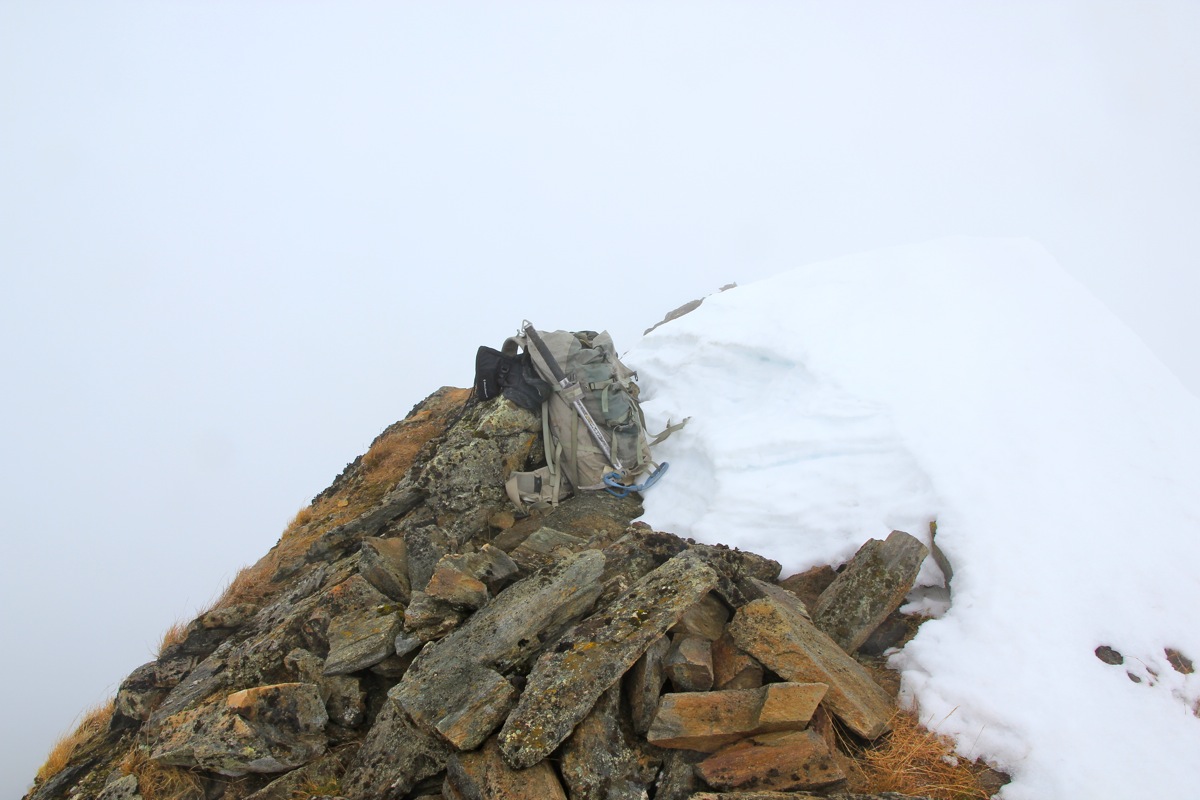
north col. I was there around 1305 and discovered, that the rightmost part of the ridge
was snow free. Easy walking and I
reached the summit at 1330.
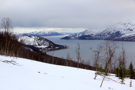
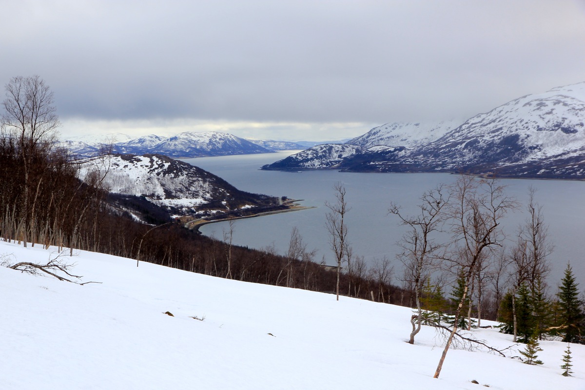
There was no view, but a short
rest was still nice. I left at 1345, the skiing was pretty nice and soon I descended
below the clouds and got a better view of the fjord.
Back by the car at 1500, perfect timing for
catching the next ferry at 1530.
I returned to Tromsø, met my colleauges for a nice dinner at the seafood restaurant
at Skarven, then a good meeting before flying home the next day. SAS lost my baggage
also this way, not the skis, but my backpack!