Location: North 62:55.863, East 007:55.642 (GPS at the summit).
Difficulty: YDS class 1
Climbed September 4, 2005
Information:
How to get there:
This mountain is located in the Gjemnes kommune, south-east of
the city Kristiansund in Møre og Romsdal fylke (county).
Following the main coastal Hwy. E-39 north-east from the city of Molde
to the small community Batnfjordsøyra, take Hwy. 666 on the east
side of Batnfjorden for 12 kilometer to Torvikbukt. From here, a small road
connects south through Torvikdalen to Hwy. 665. Take this road (turn right) and
drive 6.7 kilometer where a very small dirt road goes left. There is a small sign
saying Reinsfjellet. Drive this little road for 50 meter, then park on a small
parking area on your left. This is the trailhead, elevation 155 meter, location
N62:53.891, E007:54.430. Route description:
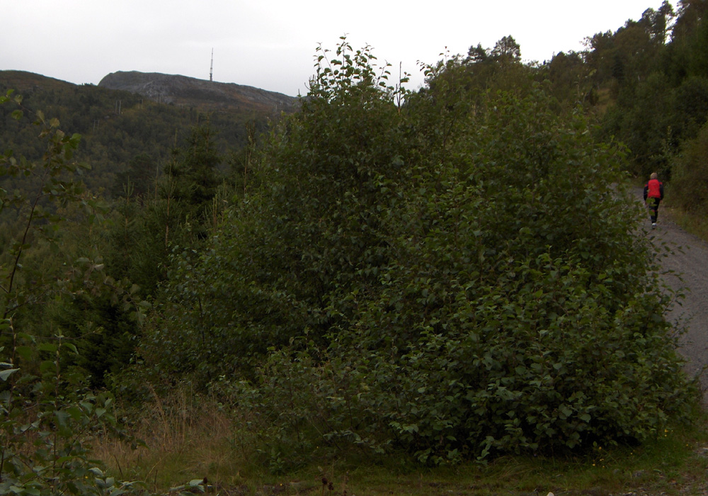
Follow the road that continues from the trailhead.
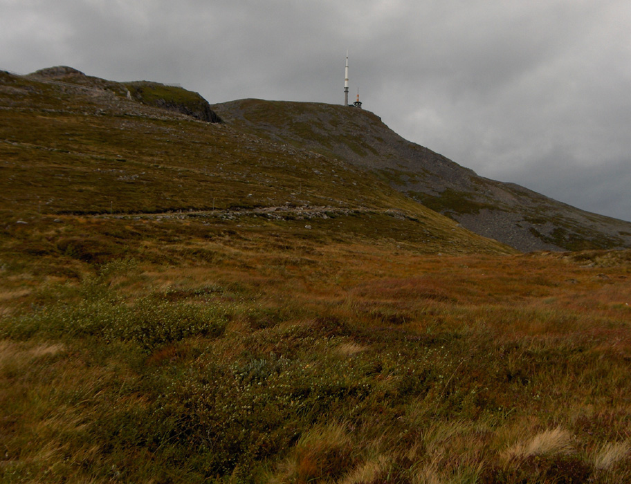
It soon passes a locked gate, then heads uphill. The road continues
all the way to the summit where a large radio antenna has been placed. Comments:
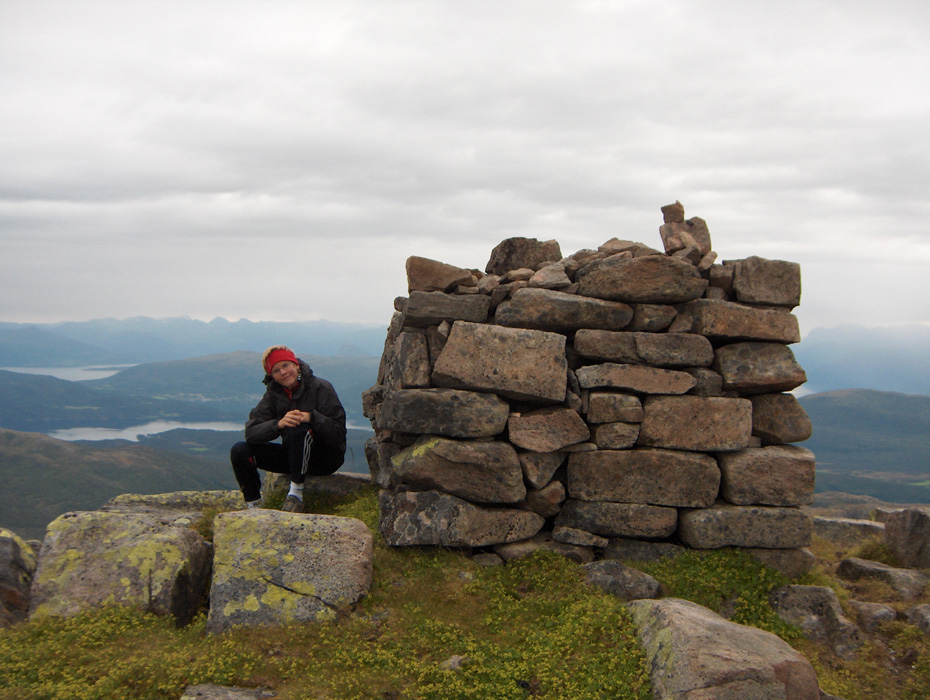
I made this hike with my son Pål Jørgen, age 16. We needed to
travel back to Trondheim after our very successful ascent of Store Trolla
(1850 meter) the day before. The weather forecast was pretty bad and this seemed like a good
walk to provide just a little exercise after the 12 hour climb of yesterday.
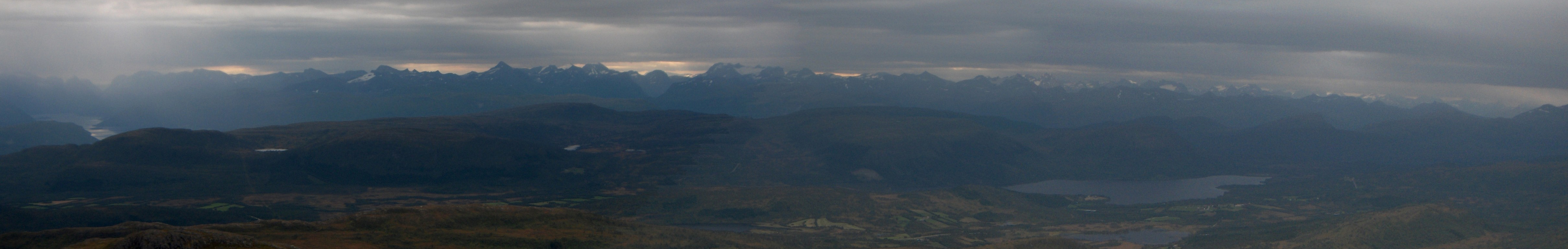
The weather was cloudy, but only with a few drops of rain. The wind picked up as we
got higher and near the top we had storm strength, that is above 20 meter per second.
We left the car at 0955, arrived at the top at 1110, spent 10 minutes there and descended
back down to the car by 1205. This corresponds to a rate of ascent in excess of 670 vertical
meter per hour, thus the effort of yesterday did not completely kill us.
This mountain seems to be a popular walk, despite the pretty bad weather, we met several people
lower down on our way back down.
Resources:
Images
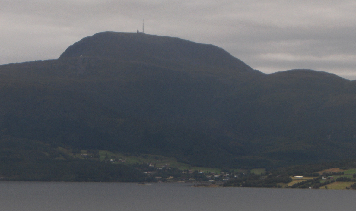
Reinsfjellet seen from Gjemnessundet bridge (E-39).