Location: North 60.54199, East 005.43423 (GPS at the summit)
Difficulty: (YDS) class 2 (winter) / class 1 summer.
Climbed March 3. 2013.
Information:
How to get there:
Drive to the Osterøy bridge, cross it and measure from the far
end of the bridge. Proceed to follow the main road, through the big tunnel and turn right
at kilometer 10.3, this is a traffic circle. Then, at kilometer 11.4, turn right again.
Continue straight at 11.5, then follow the road to kilometer 16.4. You should locate parking
at a small road that forks left. Park here, the trailhead is a few more meter down the road
at location N60.53917, E005.43064, elevation about 74 meter.
Route description:
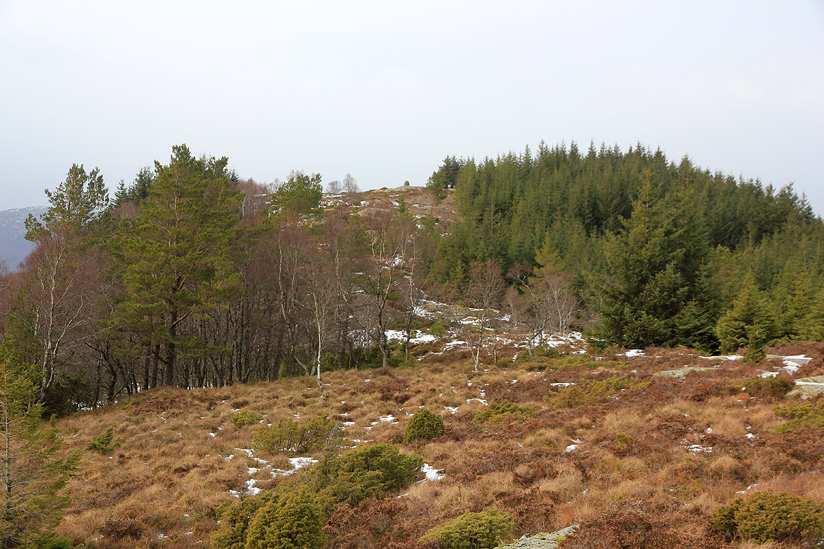
Locate the forest road that heads uphill, there is a large gate near the road. Go straight uphill,
that is more right than the road and follow the trail to a small plateau higher up. Follow this flat and
more right, but pay attention to the marking that helps show the trail as it turns left and heads more
steeply uphill. The trail has orange painted arrows and is fairly easy to follow. Higher up,
the trail makes the main crest and hits a 4-way trail intersection. Go left along easy terrain and
soon, you will see the cairn further along. Comments:
I left at 1425, this being my third summit for the day.
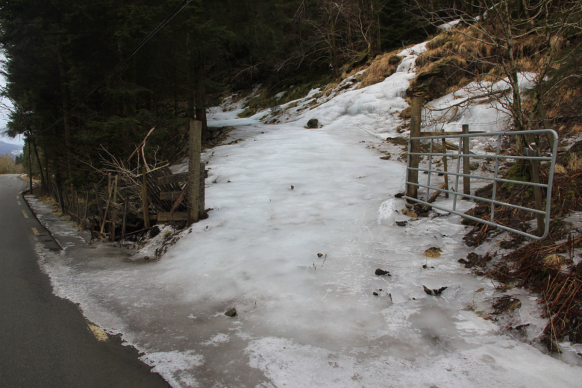
The very beginning of the
trail was definitely the crux, very slippery ice completely covering the forest road.
I climbed along the metal gate, then took a direct uphill line. I soon found the
marked path and followed it with no incidents to the summit.
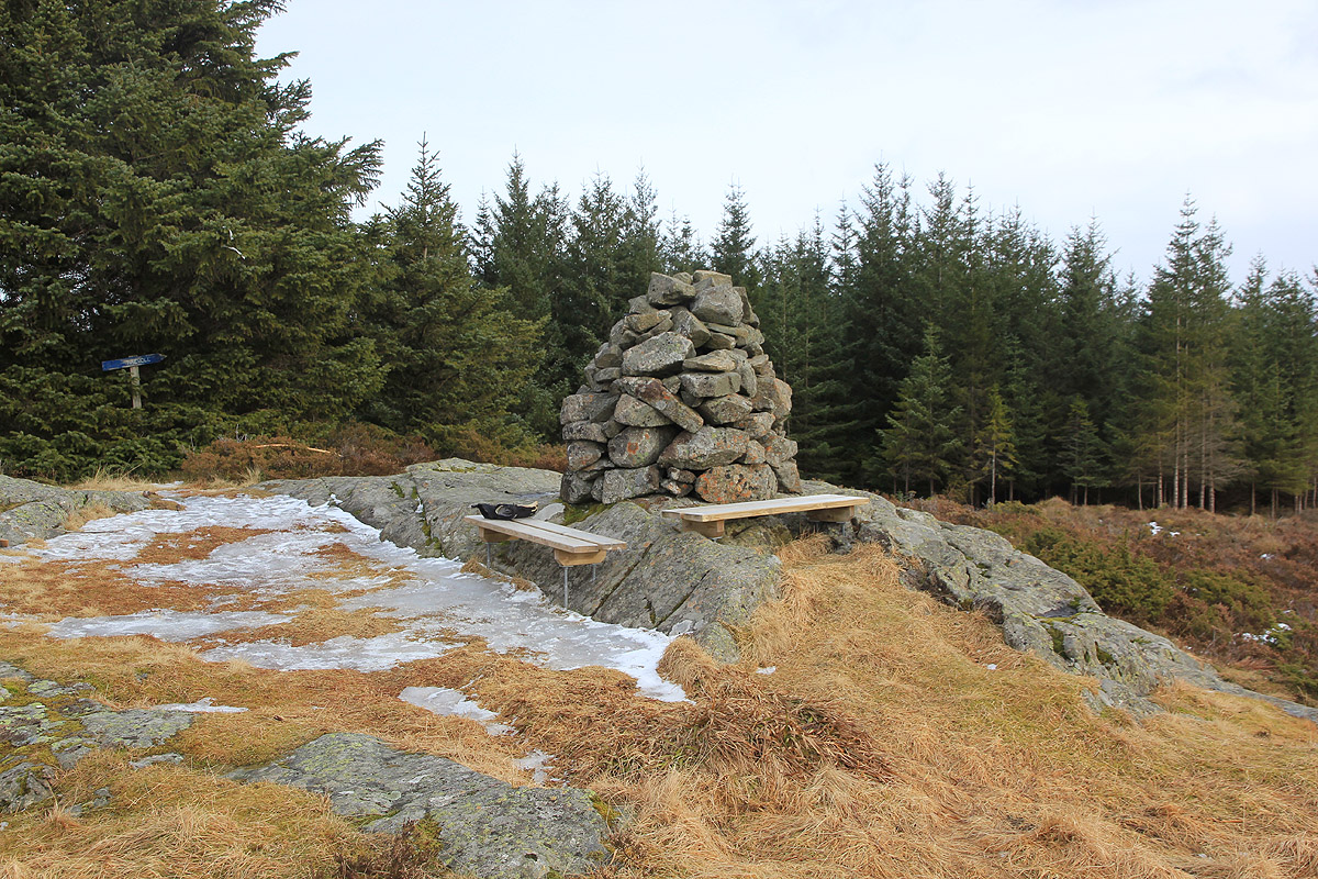
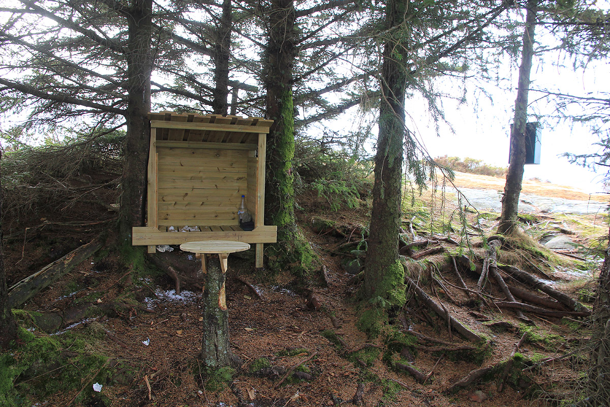
A nice summit with a register,
benches and even a small shelter with
its own picnic table.
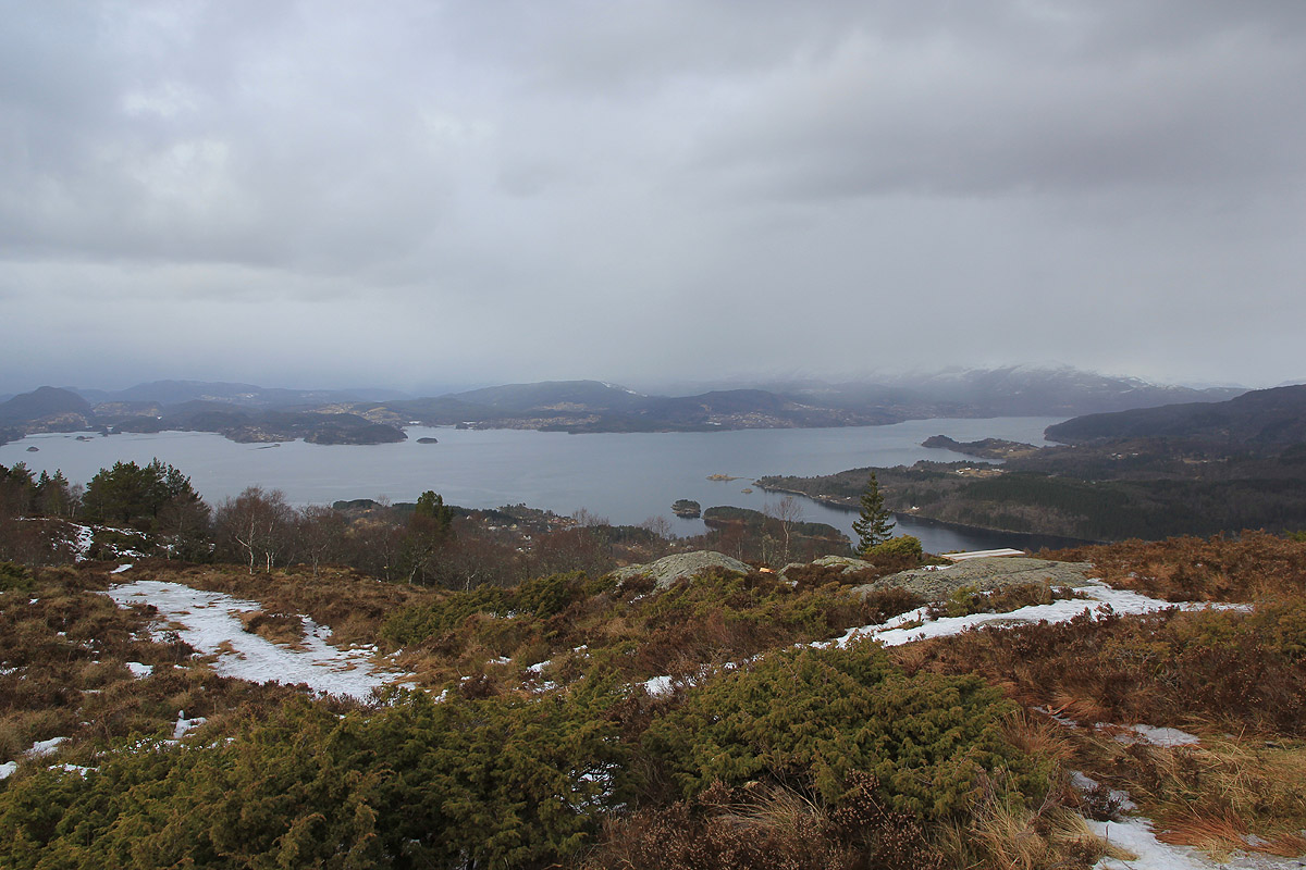
The summit has a nice view of the fjord.
It took me about 35 minutes
to hike up here. I left after 10 minutes and returned to the car in about 25 minutes.
