Location: North 63.99334, East 011.53182 (GPS on the summit)
Climbed October 14. 2017
Difficulty: YDS class 1
Information:
How to get there:
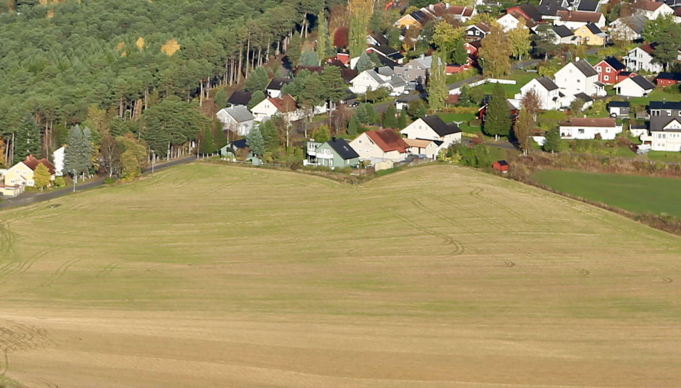
This is the Steinkjer local hill and viewpoint. The hill is
located directly south-east of the center of Steinkjer. Locate
a local road that runs south-east across some farmers fields that
border the hill on its north-west side. Find parking here (or walk from town),
the road connects directly with well kept trails.
Route:
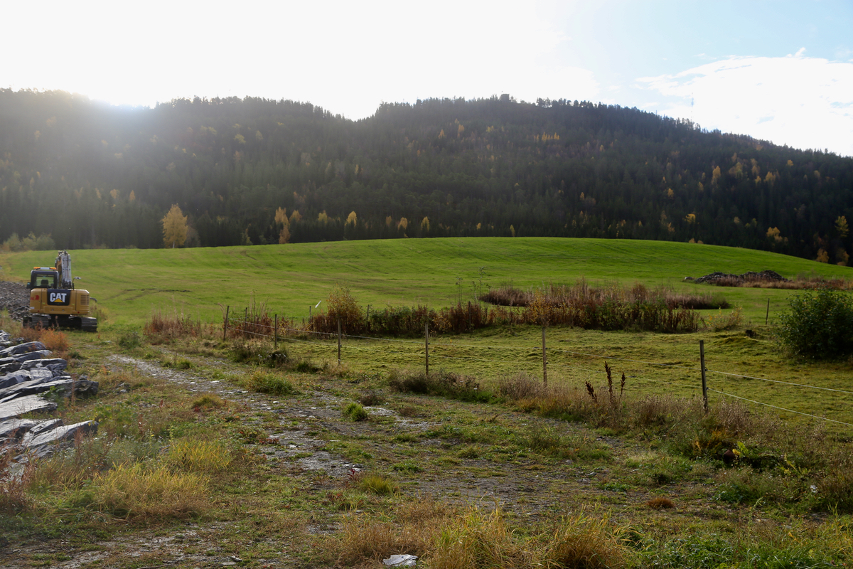
Follow a wide and well maintained trail uphill to the
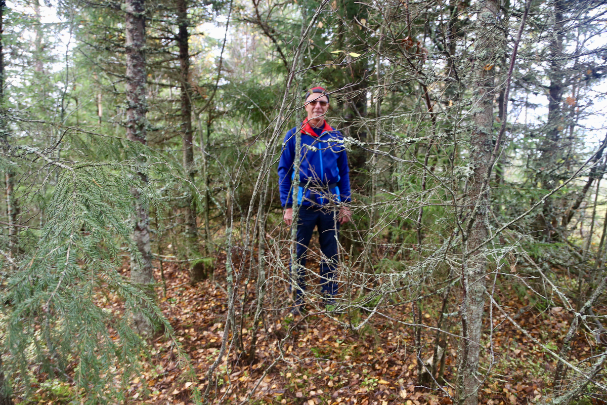
summit. Note that the
very highest point is not marked
and located among trees.
The summit area consists of three
tops. The middle top is the highest. The northernmost
top is rarely visited, but only one meter lower. The southernmost
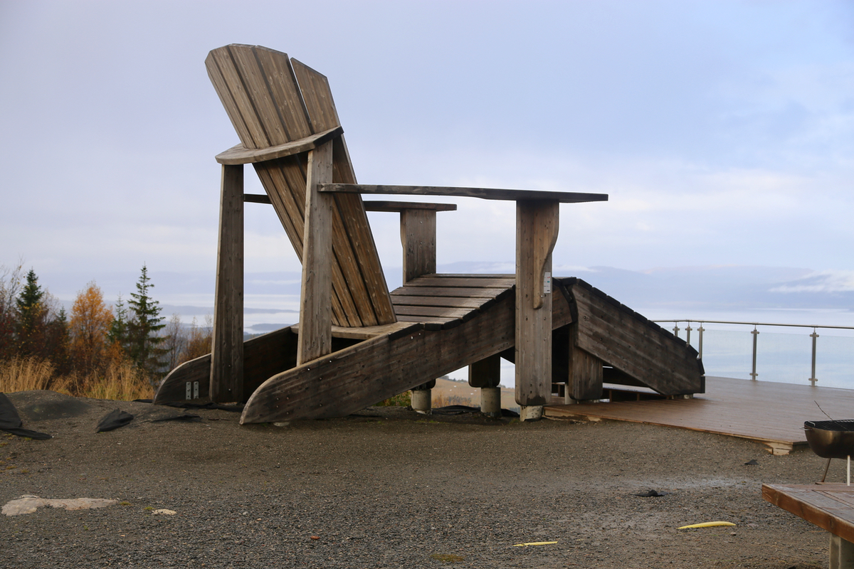
top is the lowest, but it has a hut that serves tourists (food)
on weekends and a gigantic chair.
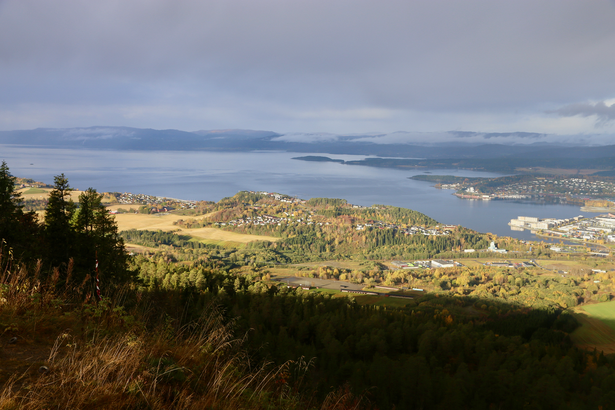
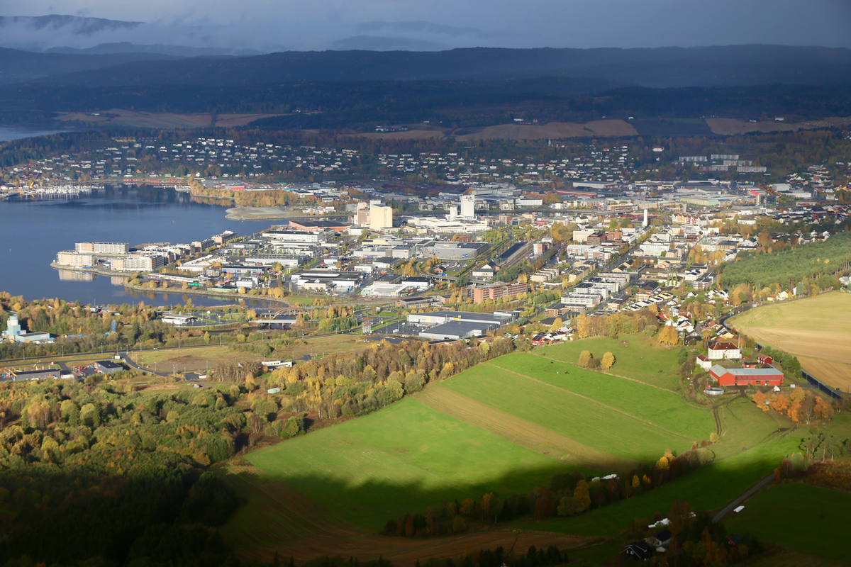
There is nice view to the
fjord and to the
city center. Comments:
This was my last trip with my good friend Erik Jahr. The hill is in
plain view from his house and
we left after breakfast at 1005 on foot from
the house. The summit was reached at 1045. We measured and took a photo before
moving on to the more frequently visited lower (south) summit. We left
at 1105, took a path that started out on the east side, then quickly moved north
before connecting back to the road where we started out. Back at
1140.
Thanks to Gunn and Erik for great hospitality! I will return in the winter to
(hopefully) ski the prominent peaks in the district Lierne. They were planned, but
the arrival of winter (and bad forecasts) made me change plans.
