Location: North 62:58.640, East 007:34.774 (GPS at the summit)
Climbed November 7th. 2010.
Difficulty: YDS class 2.
Information:
How to get there:
Starting from Molde, head north on Hwy. 64 to the island
Averøy. Just as you enter Averøy, find the
road that circles the south side of the island. The trailhead
is located at a small forest road that goes left just before
the small place called Meek.
The precise location is N62:57.411, E007:34.106, elevation about 46 meter.
(This forest road is 19.3 km
from Hwy. 64 if you arrive from Kristiansund and drive the
south route in the opposite direction.) There is a wooden sign
on the left side of the forest road.
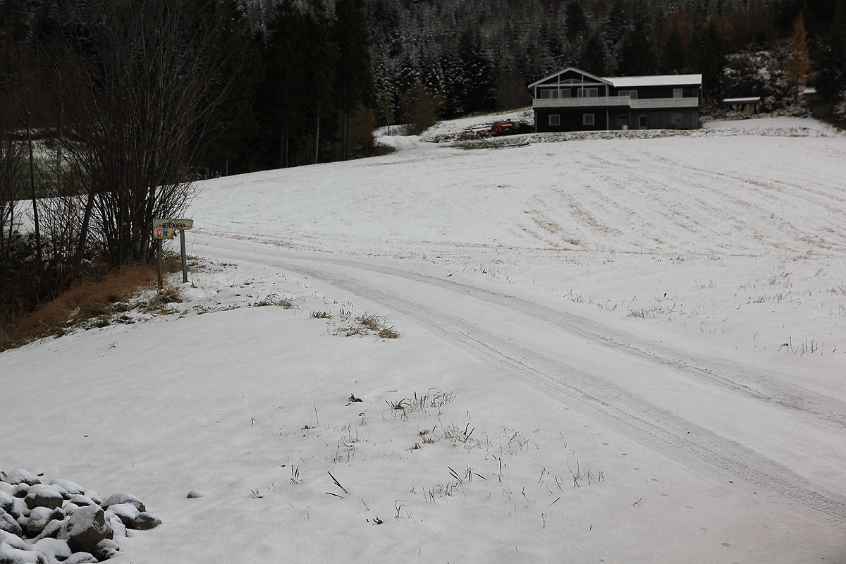
Drive this road 700 meter, it runs steeply uphill before entering
a parking area just before it forks.
This location is N62:57.647, E007:34.234, elevation about 140 meter.
Note that in winter, one may have to
park off the main Hwy. the forest road may not be open.
Route description:
Immediately, at the upper end of the
parking, take the left road.
Very shortly, there is a signed (big) trail that forks right and
climbs uphill. This trail merges with a forest road higher up, go left
and follow this forest road until it ends. Ignore a road that branches
off to your left.
The trail now curves right and climbs on the left side of the creek before
crossing it in order to gain the very first (small) ridge that extends almost
down to the creek. This trail will take you up on the first broad shoulder at
elevation 620 meter, then flat before the final ascent to the summit. There
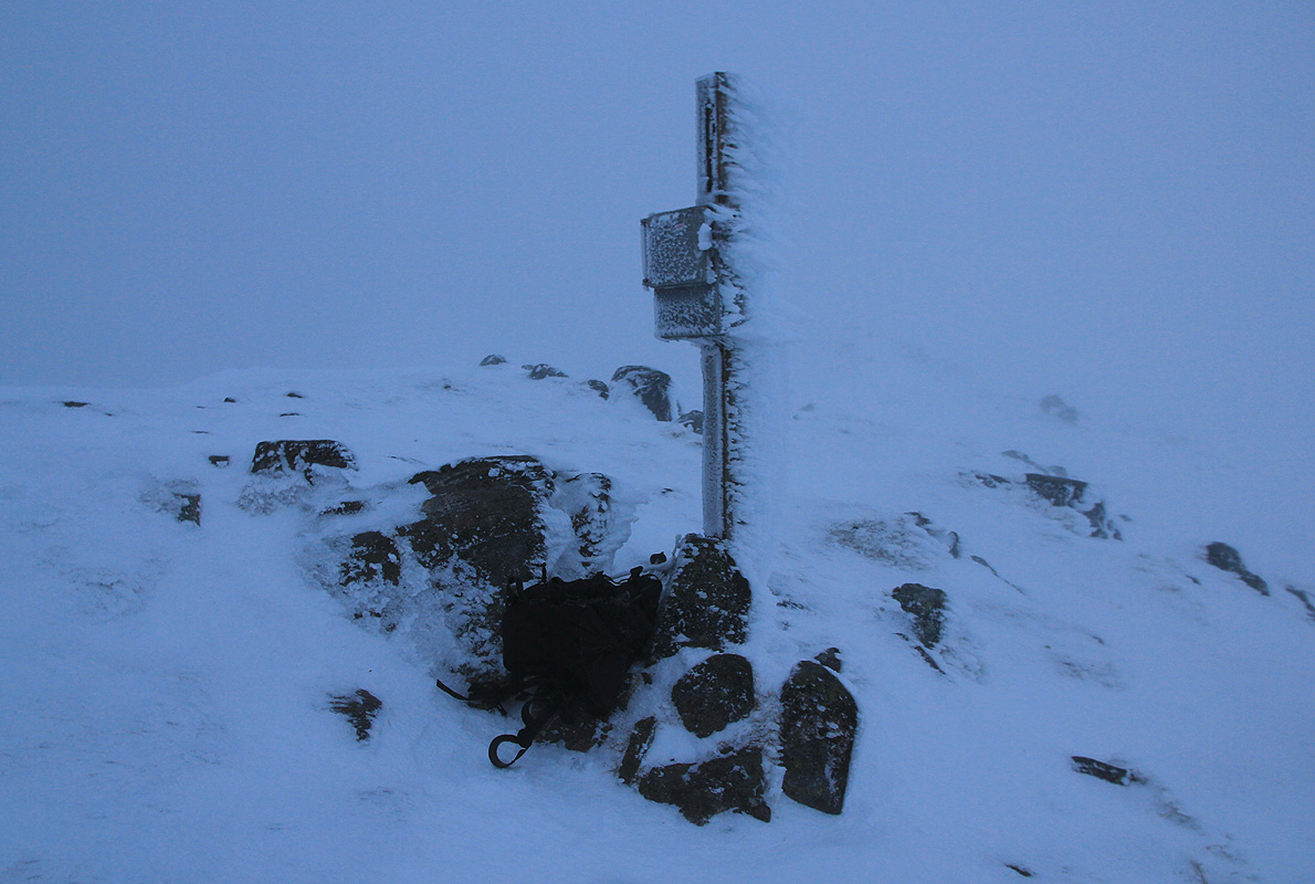
are two summit points quite near each other.
The summit register is at
the second one, possibly marginally higher.
Comments:
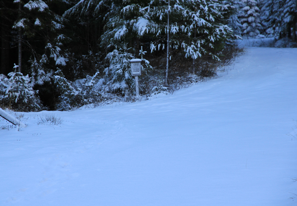
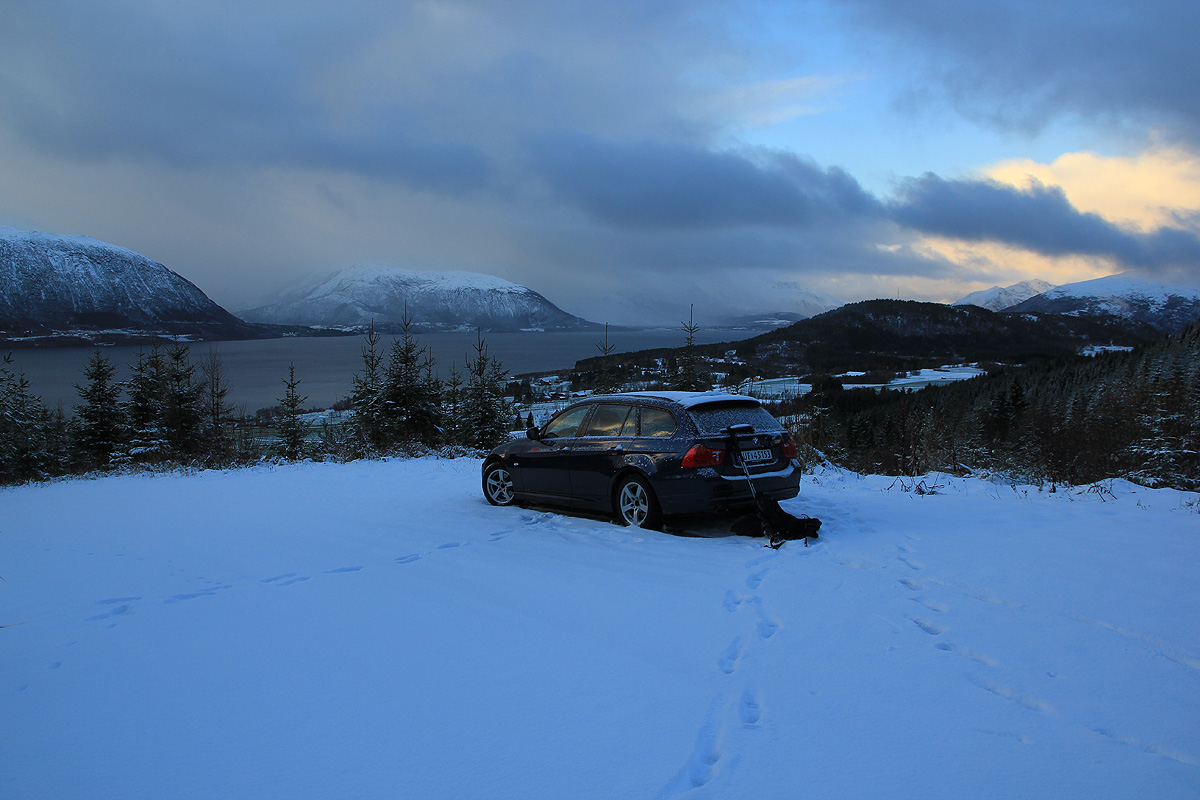
After climbing Melen, I drove to the
trailhead in the early evening. Quite a bit of snow on the last (forest)
road, I just made it up the last hill. Going to bed early, I woke up
around 0500 and started out with my headtorch at 0610.
It had snowed even more and I lost the trail shortly after the
end of the forest road. It did not really matter, the general route
was clear and the snow would be about equally hard to walk with or
without a trail. Quite a struggle, but I gained the summit in a big
whiteout by 0800.
As there were two summit points, I took a little extra to measure both of
them, pretty equal, perhaps a small edge to the one with a pole and a summit
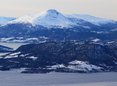
register. Happy with the trip and with (very) brief views of the fjords, I
headed back down at 0815 and arrived at the car by 0910.
The next goal would be Korsbakkfjellet.