Location: North 69:23.497 East 019:14.500 (GPS on the summit)
Difficulty: YDS class 2
Climbed May 12, 2012.
Information:
How to get there:
From Tromsø, drive E-8 towards Nordkjosbotn. Drive through Lavangsdalen and make a right
when you get to Balsfjorden (near Kantornes). Drive west along the fjord (on Hwy. 294) for about 4.5 kilometer.
Look for a turnout (parking) on your left, there is also a sign there saying "Topp Ti", this summit
is among ten nominated summits in the local municipality that people are encouraged to climb.
Park here, this is the trailhead, location N69:22.512 E019:10.005, elevation 4 meter.
Route description:
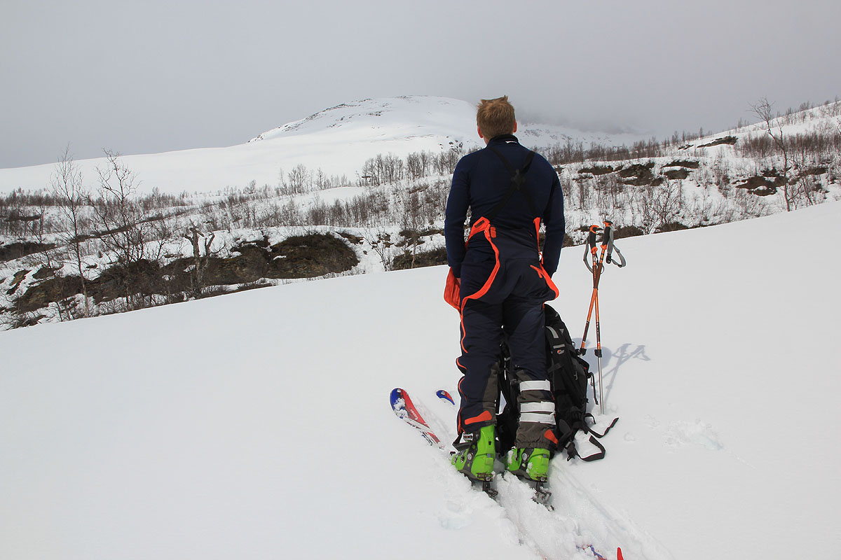
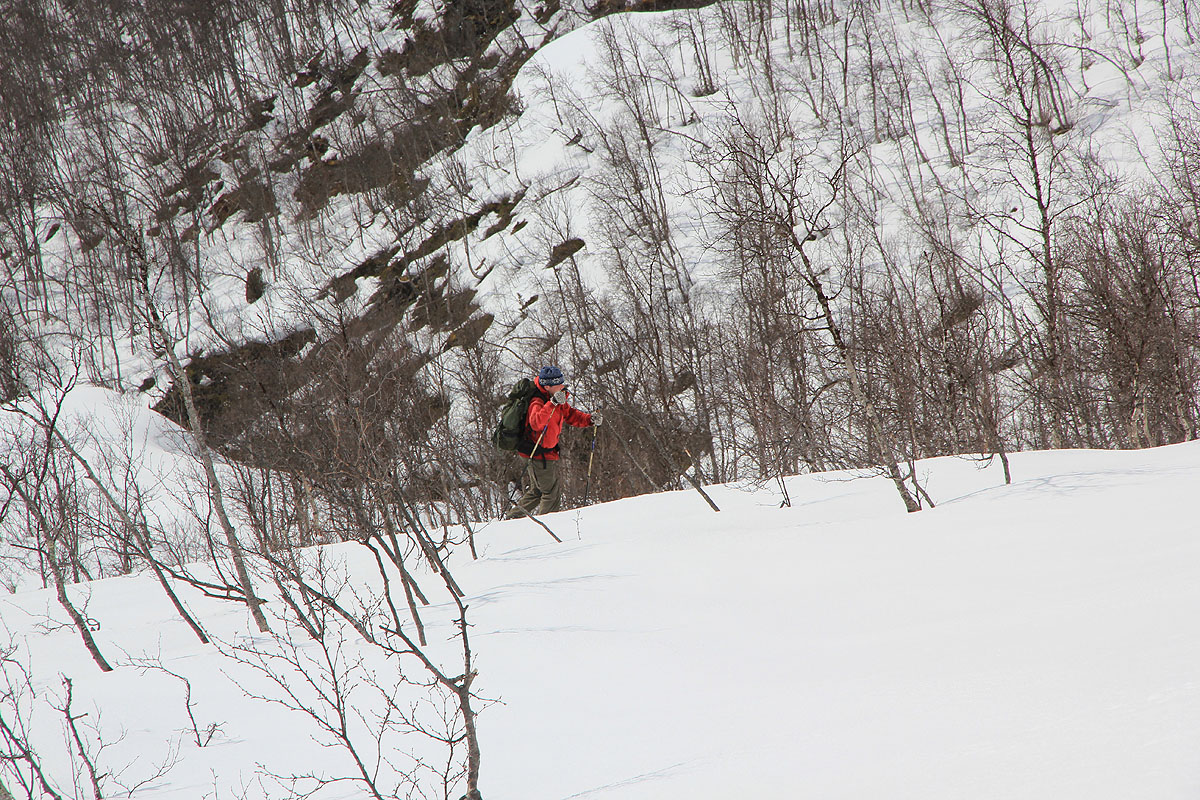
Head uphill, in winter across a farmers field, in summer more left, but staying on the right
hand side of the creek Mølneelva. There is a clear trail marked with red paint. Higher up,
you reach a flat area, head across and stay fairly close to the creek. You will see a corridor that
has been cleared out among all the birch trees along the ridge leading higher. As you reach the upper part,
above the trees, continue uphill along the broad ridge (going east) that gradually becomes more distinct.
The ridge has a short step that is slightly steeper with some small cliffs, then it levels off again and
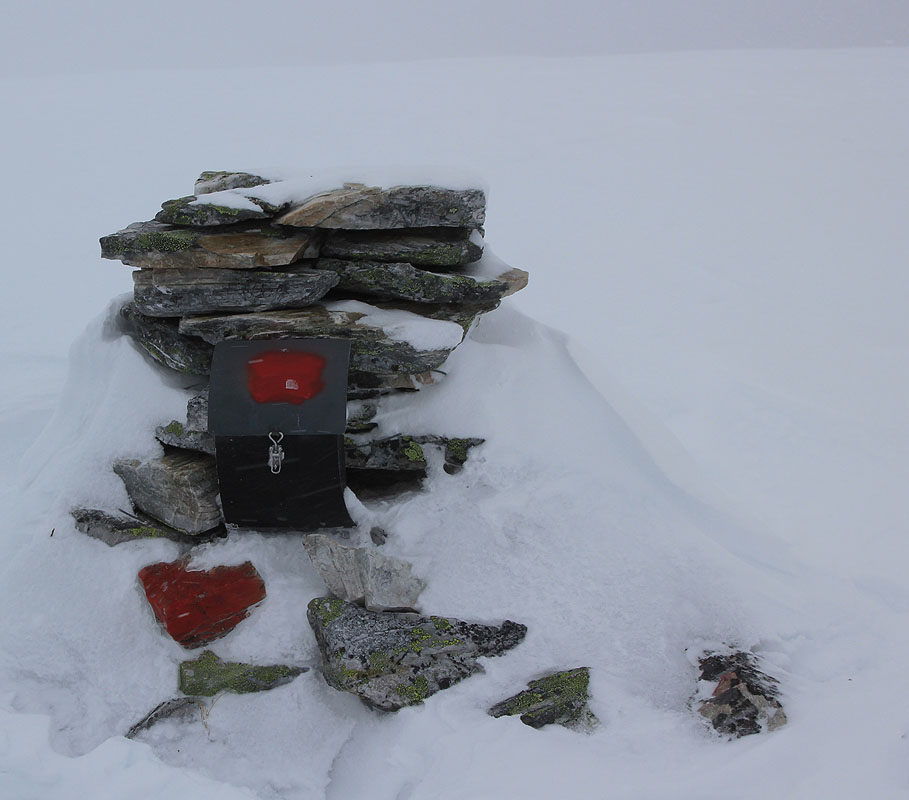
the last part of this climb is almost flat before you arrive at the small cairn with a proper
summit register.
Comments:
I did this climb with Kent Hugo, Sondre and Åke. We started out around 1245 in sunshine.
Higher up, the weather turned more grey, but all in all reasonable until we arrived at the
cairn by 1430. Shortly, the wind picked up and a local blizzard hit us full force.
Quite unpleasant, we hurried downslope in order to find more hospitable conditions.
After several sections of downhill skiing, we arrived back at the car by 1530.
Note that there is another Lavangstinden nearby, it has more than 1000 meter of prominence.
