Location: North 60.04387, East 005.76371 (GPS at the summit)
Climbed November 20. 2016
Difficulty: YDS class 2
Information:
How to get there:
This mountain is located far south in Fusa, a municipality south-east of Bergen.
One may drive Hwy. 549 and Hwy. 121 south from the intersection with Hwy. 48 in Kilen, however,
the easiest approach is to drive from Våge on the island Tertnes. (You can get
to Våge by ferry from Halhjem in Os.)
From Våge, drive Hwy. 49 towards Fusa, after crossing the bridge that connects
Tysnes with the main land, continue through 2 tunnels.
After the first tunnel, continue through the next, now on Hwt. 121.
Immediately after this tunnel,
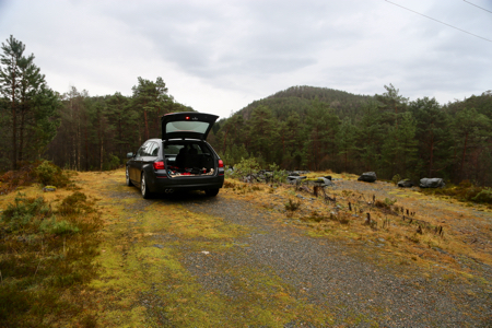
turn right on a small turnout. Park here, this is the trailhead, location
N60.05135, E005.76442, elevation about 60 meter. Route:
There is a trail that runs along the left hand side of the
meadows when looking at the hill from the trailhead.
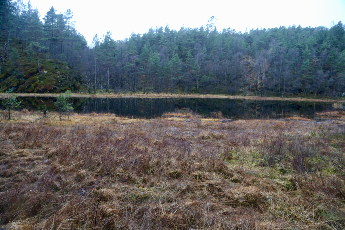
Follow this trail, you will have a nice,
small pond on your right hand
side just before reaching the base of the hill. Ascend where you see a stretch
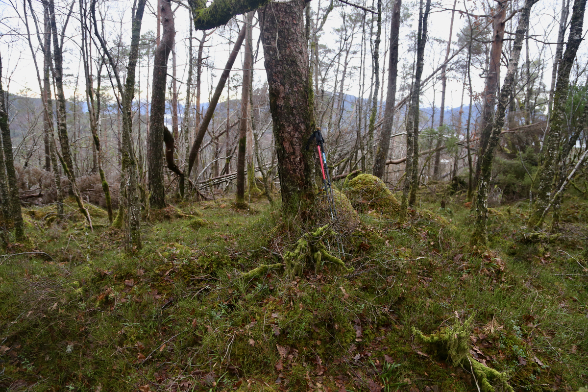
of open terrain ahead. This hill was hard hit by the storm in early January 2015.
Fallen trees are everywhere making progress slow, one should look ahead and
avoid as many trees as possible. The summit is a pretty flat area with no
marker or cairn. The highest point is near the north-east end of the summit plateau.
Comments:
I left my car at 1430 and arrived at the summit at 1500.
This place is not
very attractive what concerns summits. Trees block
your view in all directions. I walked around a bit to check for
possible contenders to the highest point, but fund none.
Leaving at 1505, I was back at my car in 25 minutes, at 1530.