Location: North 60.54053, East 005.49038 (GPS at the summit)
Difficulty: (YDS) class 2 (winter) / class 1 summer.
Climbed March 3. 2013.
Information:
How to get there:
Drive to the Osterøy bridge, then follow signs to the small
place Lonevåg. Continue on Hwy. 567 north from Lonevåg, through
a big tunnel, then along the fjord. When the road leaves the fjord (turns more right),
then pay attention and locate a side road that forks right with a sign saying
Nonås 3. Follow this road all 3 kilometer and locate parking on your right
hand side at location N60.53843, E005.49513, elevation about 230 meter.
Route description:
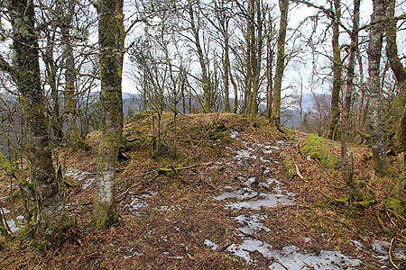
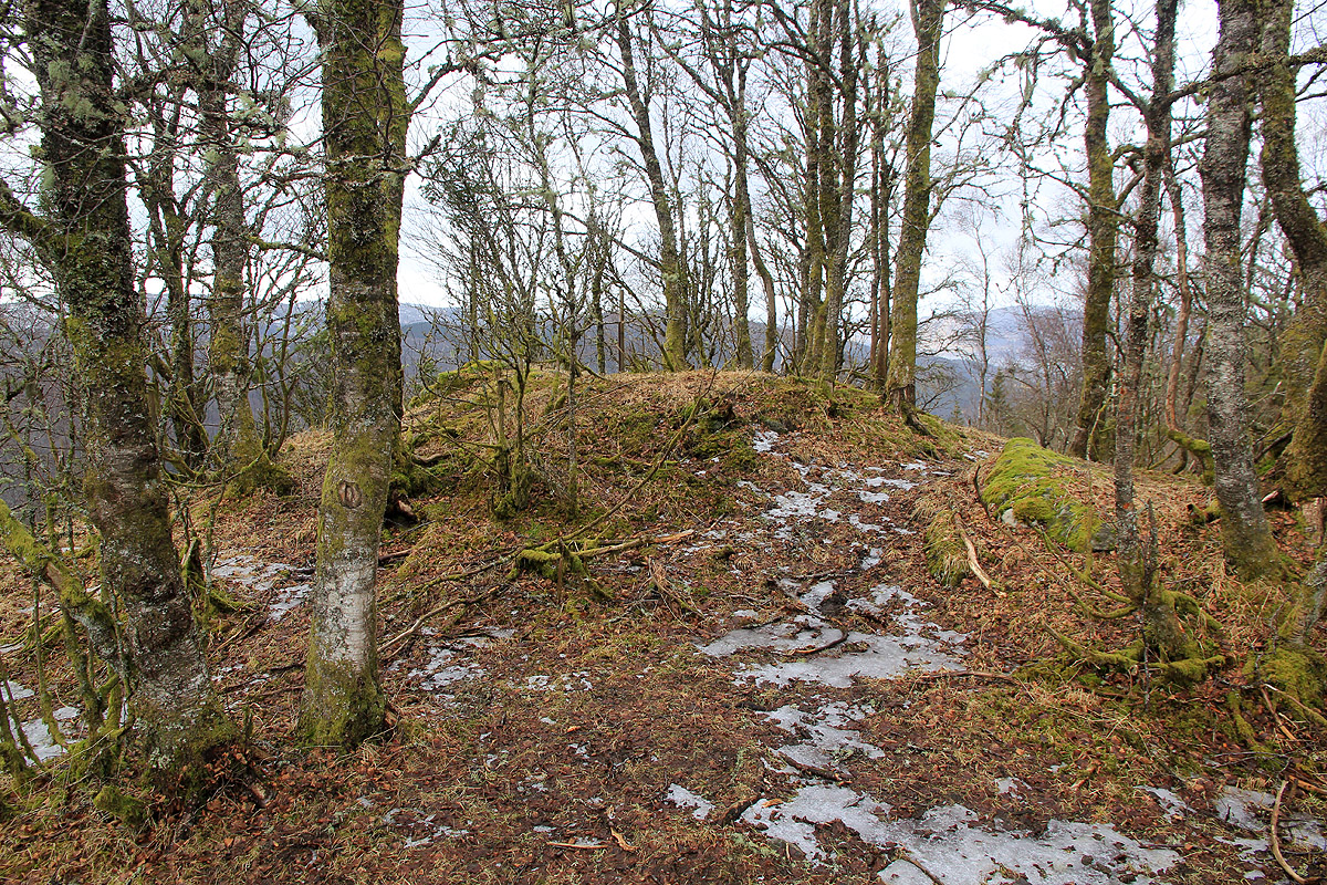
This is almost less than a hike, a very short walk up an easy hill. Head up the field and
cross a fence. Continue along a pretty obvious
path and locate the highest point among a few
trees.
Comments:
I drove here on my way from Tveitafjellet to Orratuva. The entire trip took about 20 minutes.
There is another knoll, without trees, that competes with the summit in elevation, you
will pass it immediately before the summit if you follow my route. Step on it as well!