Location: North 63:10.281, East 008:13.189 (GPS at the summit)
Difficulty: YDS class 2.
Climbed August 27. 2006.
Information:
How to get there:
From Kristiansund, take Hwy. 680 following signs for Smøla/Tustna to the ferry that connects
Seivika to Tømmervåg on the island of Tustna. Continue along Hwy. 680 about 17 kilometer,
then turn left towards Smøla/Aure as you cross the bridge from Tustna to the island called
Stabblandet. Continue 2.5 kilometer and turn right at a sign saying Soleim. Follow this road 1.8 kilometer and
turn left, the road turns into a dirt road after a short section, but you can easily drive 7.2 kilometer to
Innerberg. There is parking at this location. However, a road continues to the farm Fjellnesdalen. This road
is in poor condition and one should have a high clearance, 4WD vehicle in order to continue unless you drive
quite slowly and very carefully. After 2.6 kilometer along this road (walking or driving), there is a possible
small parking area on your left hand side, just before a small farmers field appears on your right hand side.
This field served as our "base camp" and trailhead, location N63:09.570, E008:14.306, elevation 75 meter. Route description:
From the trailhead described above, continue along the road towards Fjellnesdalen a very short section until
you arrive at the top of the hill that leads down to the houses. (You just passed through a small area with
sprouce trees along the road.) Just at the top of the hill, a small wooden arrow points left to an old trail
that heads up the valley. Follow this trail for about 150 meter. You will pass an open field to the right of the
trail, then enter a small, but distinctively more open (grassy) area. This is where you should turn left and
head uphill. The vegetation is slightly more open as you look up here. There is a very faint trail that you
may (or may not) be able to see. In any case, head uphill and you will notice a gully on your right side.
Do not enter this gully, but stay on its left side and follow what clearly looks like a natural way to gain
higher ground. The old path runs up here, you will see traces of it as you get higher. There is even a small
cairn marker in a few places (like 2 rocks on top of each other). Continue uphill until this trail breaks through
above treeline and into open terrain. Just before this, you are at the very end of the ridge with a view of the fjord further
west. This section is called "Hjørnet" (the corner).
From here, the trail is first quite level, then vanishes. The remainder of the climb can be done with some variations,
straight up the slope to the ridge on your right, then along this to the summit, or further left (more gentle), then along
the broader south ridge to the summit.
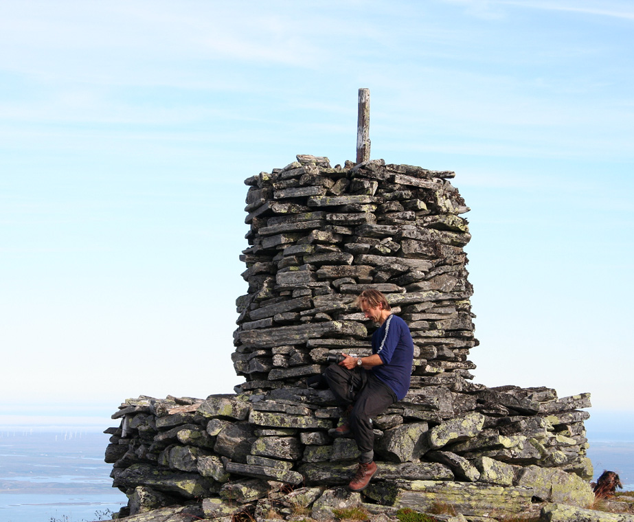
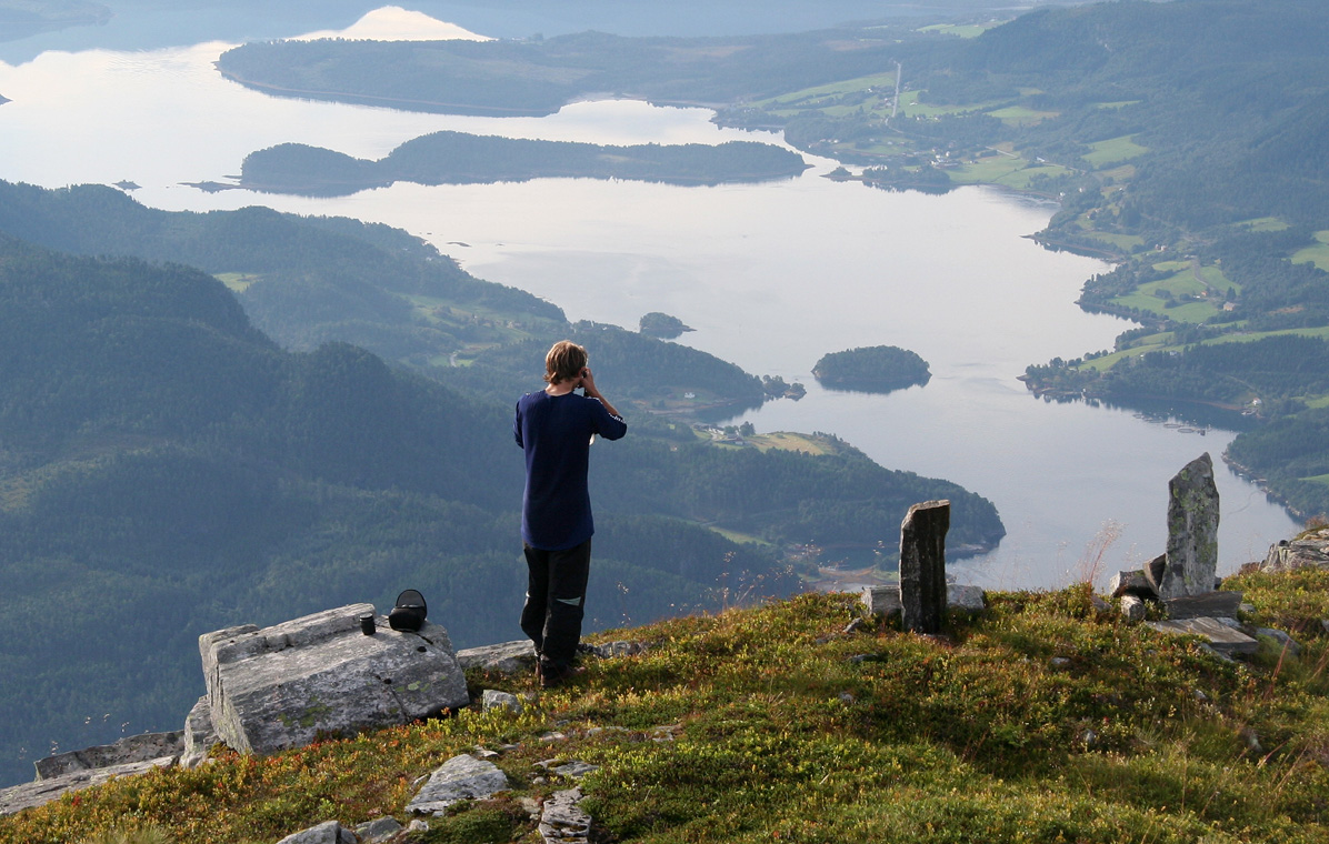
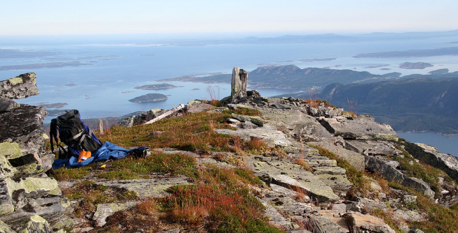
The cairn and the view that welcomes you at the top are truly impressive.
Comments:
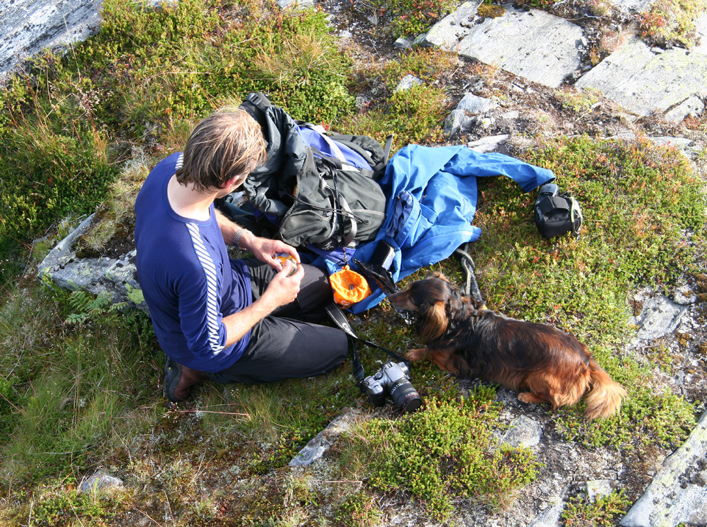
I climbed this mountain with my friend Arnt Flatmo.
We started out from our "base camp" at the small field described earlier, at 0710, and made the
summit at 0930. We rested and enjoyed the beautiful weather until 1010, then hiked back down to
our tent in about one hour. The plan was to have a solid break and lunch before setting out again in order
to climb the 4th. and final "Stabb" concluding our weekend on these two mountainous islands.
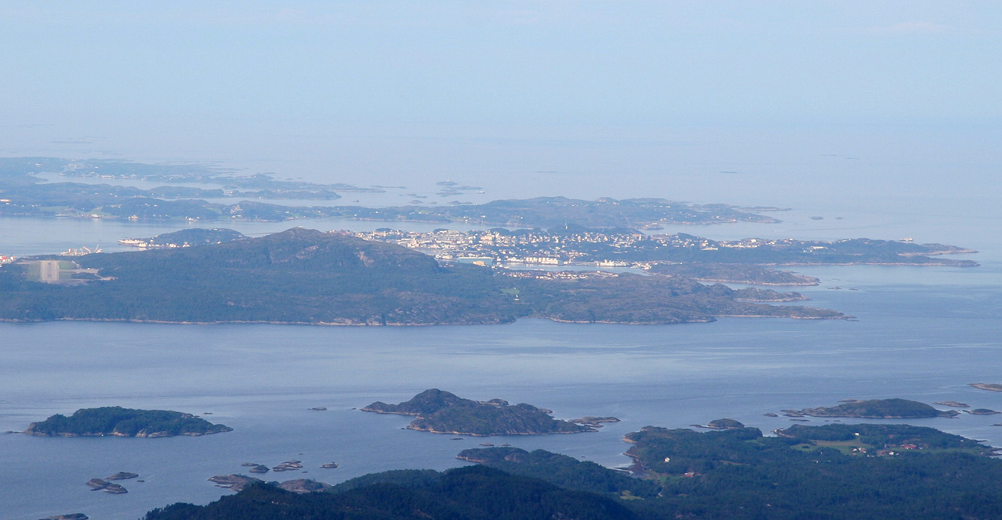
This mountain is the highest point on any island in Southern Norway.
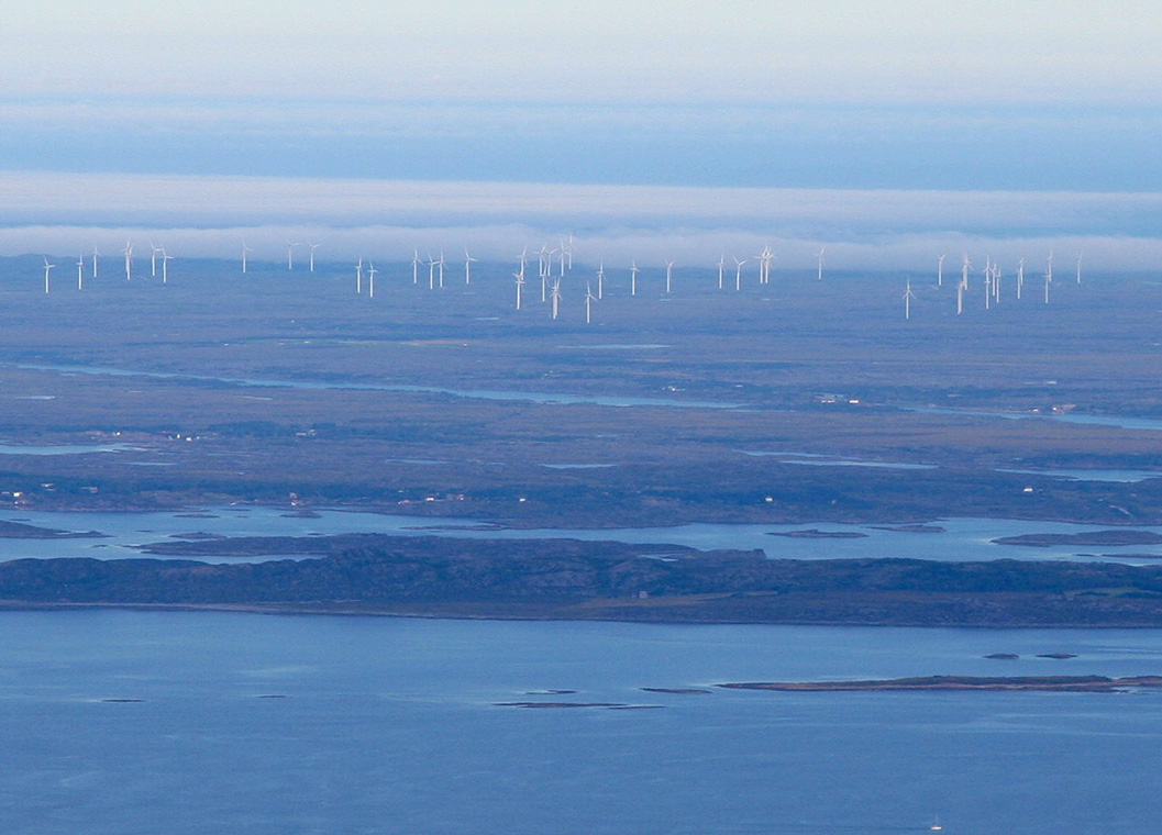
The contrast with the extremely flat Smøla island just outside is remarkable.
This was our third "Stabb", next and last in line was Storøra.
Resources:
Images
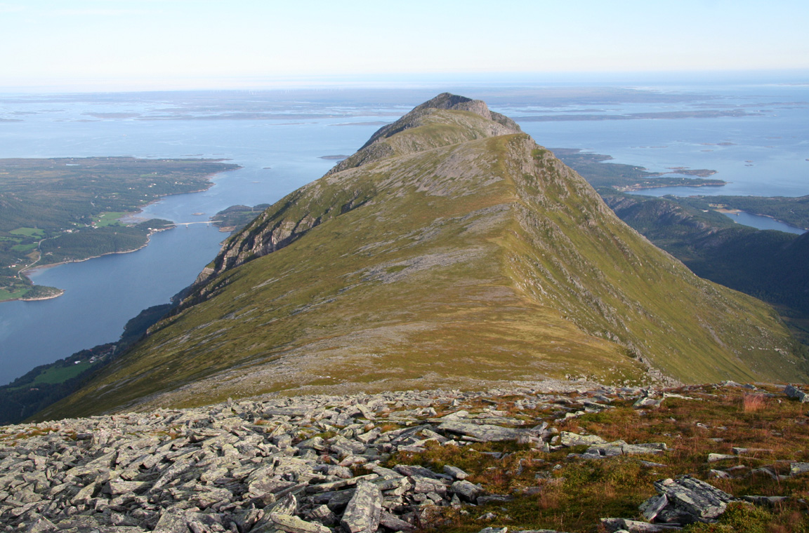
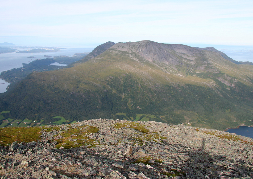
Stabben, the north end of the ridge extending from Inderbergsalen.