Location: North 38.45992, West 122.55338 (GPS at the summit)
California
Difficulty: (YDS) class 1
Climbed March 5. 2018.
Information:
How to get there:
This mountain is most easily approached from Santa Rosa, a city north
of the San Francisco Bay. Take Hwy. 101 north from San Francisco to get there.
In Santa Rosa, get onto Hwy. 12 that runs east, then a bit north before it
curves around heading south-east. Shortly after the road has curved south-east, watch for
a signed cross road named Los Alamos Road. Turn left onto this road and follow it to
the park entrance, then downhill to parking. Pay 7 dollars (2018) for parking at the
machine, then park. This location is N38.48904, W122.57203, elevation about 315 meter.
Route description:
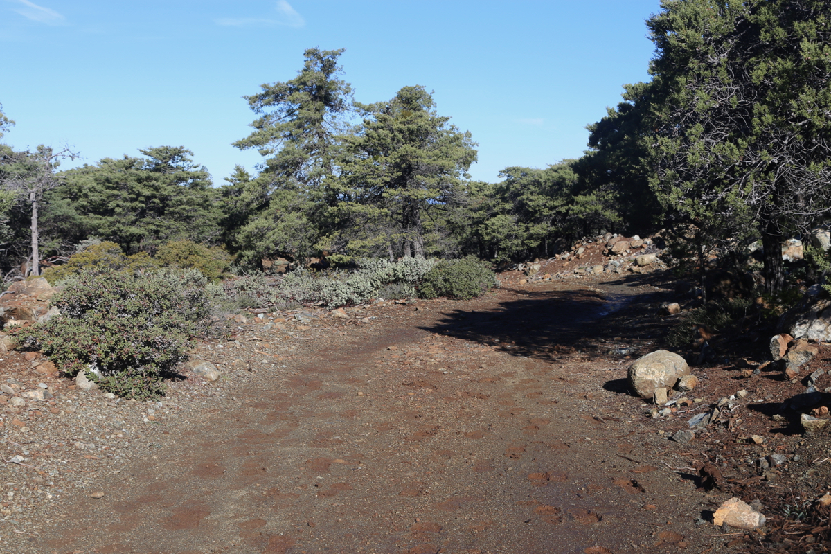
The trail is called Mount Hood Mountain trail. It is well signposted. This trail
first descends towards a small river, next follows downstream and even climbs slightly
before finally crossing the river (no bridge, but easy crossing). The route follows
what looks like a rough 4WD road until
location N38.46641, W122.55921, elevation about 670 meter.
Cross a road here, then continue on a trail called Summit Trail. This trail
soon merges back onto a forest road that is subsequently followed
to the summit plateau.
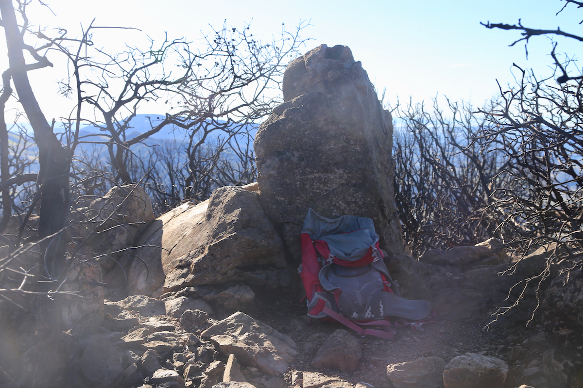
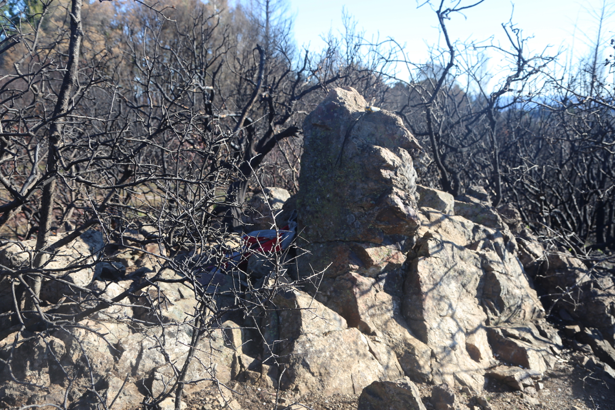
The highest point is a small, but characteristic rock.
There is a sign at the trailhead saying that this route is 5.5 miles, 8.9 kilometer, but
this must be wrong, the distance is appreciably shorter.
Comments:
I initially planned this as my second hike on Sunday, March 4th.
I knew about a trailhead accessed from North Pythian Road, turning off Hwy. 12,
a few kilometer after you pass Los Alamos Road.
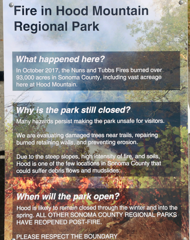
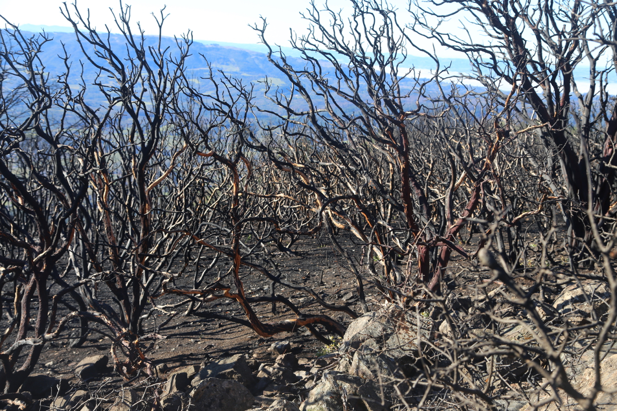
However, there I got to know that the
park as well as the road were closed
due to a recent forest fire.
I decided to go elsewhere and went on to climb the highest point of
the Sonoma Mountains.
The next morning, in my motel, I had planned to do some writing, then check out and
head for the airport. However, by pure accident, the first thing I came across on the
Internet was information about an alternative trailhead that had reopened this January this
year. It was tempting to finish these P600 peaks and time seemed to permit it. The hike
was described as 11+ miles and about 2800 feet of net elevation. Thus, I should keep a
reasonable pace.
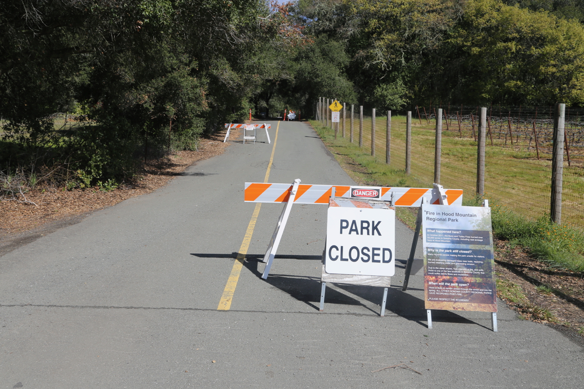
However, arriving at the Park boundary about 0645, the gate was closed and a sign announced
that they did not open until 0800. What now? Well, I needed the time, but there was nowhere
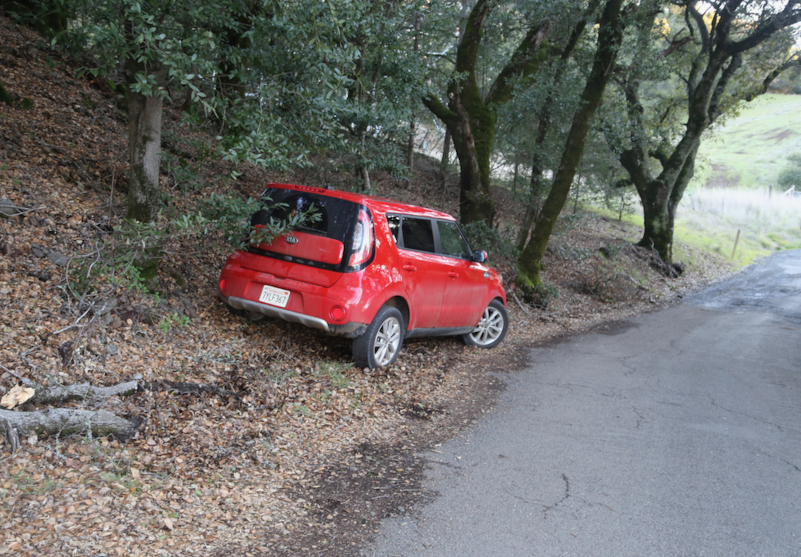
to park. I drove slowly back and after about one kilometer, I finally located a spot
where I could park off the road, without
any No Parking signs.
Next, I walked briskly back to the park gate and discovered that it had opened! What now?
Well, the best option seemed to be to run back to the car, then drive it into the park
to the trailhead parking. All this, took almost 45 minutes, then I could start hiking
at 0730.
I decided to keep a pretty good pace until I knew what progress I could measure.
A maximum of 4 hours dictated that I should get to the summit in at most 2 hours.
I had a flight to catch in San Francisco and this was certainly important.
However, quite to my surprise, I hit a road that went perpendicular and signs saying
that the park was closed beyond this area, due to the recent fire. My GPS said that
I had only about 800 meter left to go, obviously,
the peak ahead had to be Hood Mountain.
A trail called Summit Trail continued across the road. Assuming that the closure signs
were related to the closed gate on my left, it was an easy choice to continue.
Thus, I arrived at the summit already at 0845,
clearly the 5.5 miles estimate had to
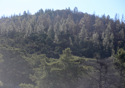
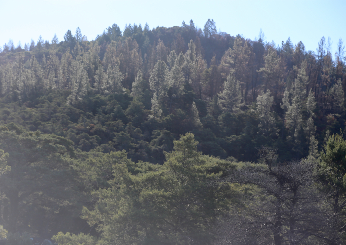
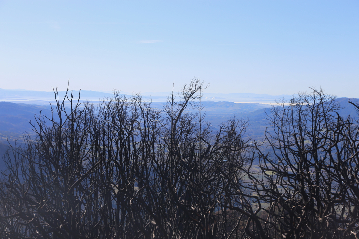
be wrong. The weather was good and the views
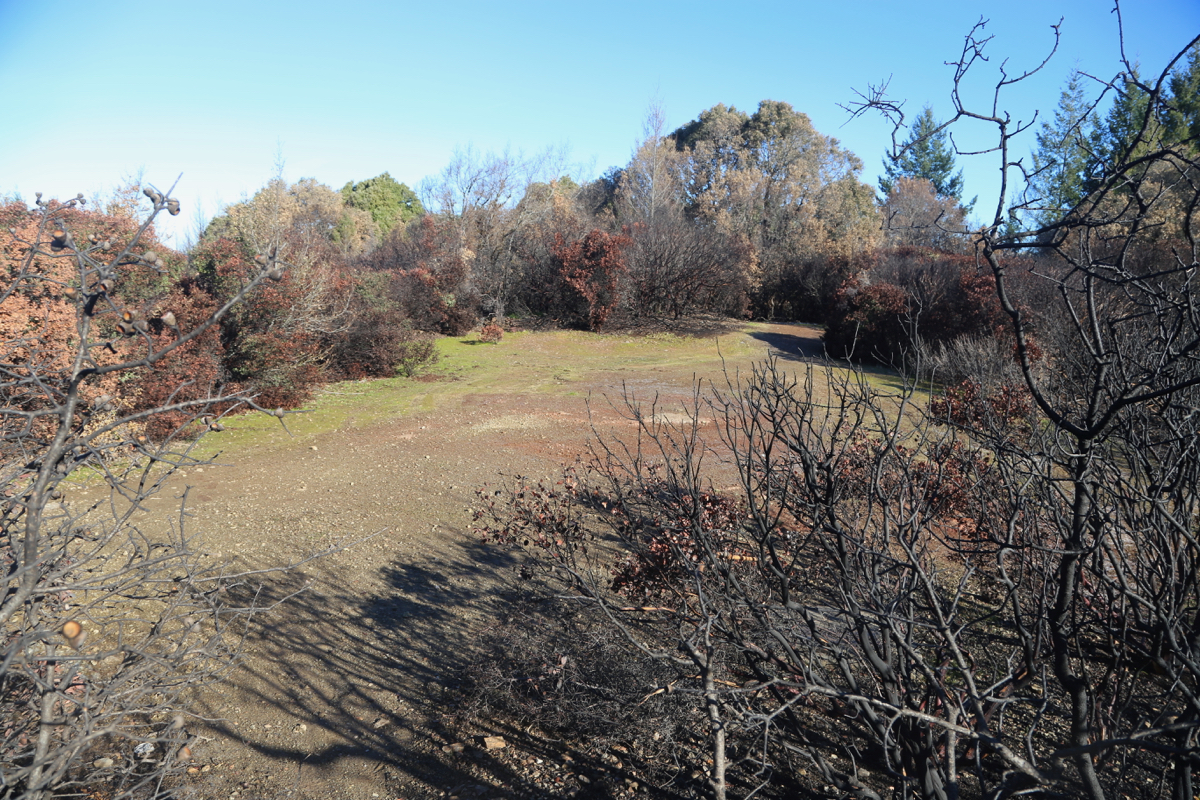
quite reasonable. The forest was burned all around.
The trail, or rather
the forest road leading up here had no features that should call for closing the trail.
I headed down at 0900, before long I met a truck that was unsuccessful in making
its way up the steepish and slightly muddy road (recent rain). The driver claimed
that this area was closed. Fairly typical for the US, there was absolutely no
reason to close this final section, but still they do. I hurried back to legal
territory, then partly jogging partly walking back to my car, arriving there at
0950, so only 50 minutes return.
I took some time to change into travel clothing, then drove back to the rental
car location in South San Francisco. Soon thereafter, in the airport, I noticed
that my flight back to Copenhagen had been cancelled due to no incoming flight.
Bad news, but a helpful person informed me that I was rebooked via London with
a late arrival in Bergen. I convinced her to rather rebook me via Frankfurt on
an earlier flight. In this way, I would be back in Bergen by 1800.