Location: North 60.19157, East 005.71687 (GPS at the summit)
Climbed June 18, 2016.
Difficulty: YDS class 2
Information:
How to get there:
From Bergen, first drive E-16 towards Voss, take Hwy 7 (right) that forks from the traffic circle at Trengereid.
Drive to Samnanger, then through the long tunnel that will exit at the river Tysseelva.
Take Hwy. 48 going right here. The sign will say Eikelandsosen and/or Mundheim.
Drive Hwy. 48 passing Eikelandsosen and Holdhus then descending to Skogseidvatnet where the road runs
across a narrow passage between two lakes. Shortly after (at a place named Kilen), turn right onto Hwy. 549,
the sign will read Sævareid 6km. Exit right (to Sævareid) at the end of the lake, turning left you
will pass near the fjord. Continue along the road and take the right fork where the road splits
into two. You will arrive at a spot where a gated road continues. Find parking somewhere here, ask
permission if in doubt.
Route:
Continue along the closed road (a private road) until it ends at the farm Ljotå. This is at
location N60.18737, E005.73241, elevation about 50 meter. Follow an old farm (tractor) road north into
Ljotådalen. The road will cross the creek (to its right side). Continue until the road again
crosses to the left side (when facing upstream). Leave the road here and ascend steeply to your left
near a small (sometimes dry) creek. You will locate pieces of a trail, but it is hard to follow.
However, the terrain is easy to walk, continue uphill in the natural, small valley, then onwards in the
same direction to the summit. This summit has no cairn.
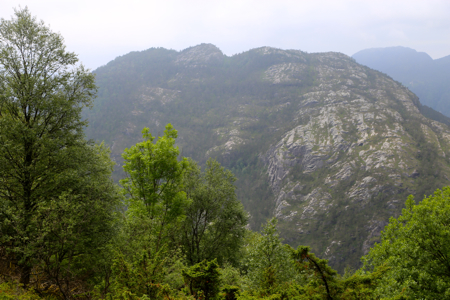
Comments:
I had climbed Haugafjellet and wondered how to connect to
Håvikamulen. The best option is really to backtrack the ridge I just ascended, then carry
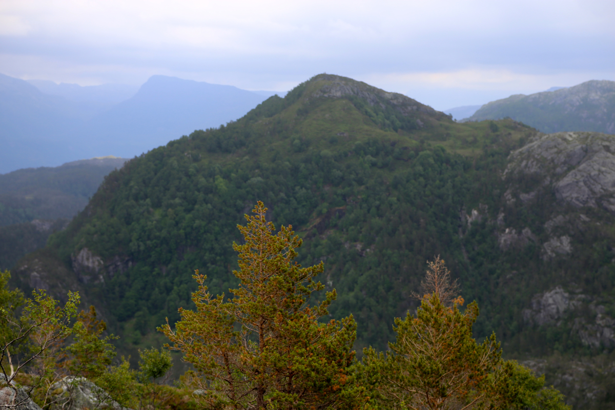
on down into the Ljotådalen. However, looking at the map, it seemed possible to
descend directly to the place in Ljotådalen from where an ascent should begin.
This theory worked well quite a while, but (perhaps I could have descended reasonably by staying
a bit more left) I ended up among cliffs in an area directly west of the summit. This caused
me a considerable delay as I looked around to find a safe passage down. I finally got down to the
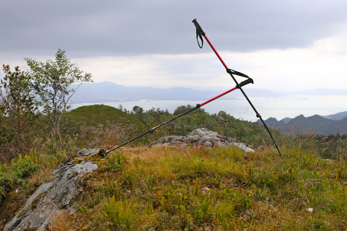
tractor road in Ljotådalen, from there the ascent was easy. I arrived on the summit slightly
after 1600. Taking a well deserved rest, I left about 1620. The return hike to the farm
Ljotå was easy. Here, to my surprise, I ran into a road that must have been built recently,
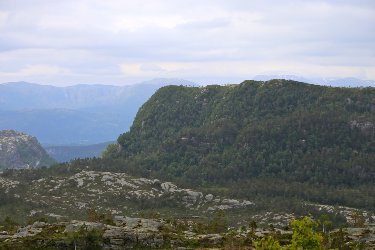
since it is not marked on any maps. I followed the road, ascending to near point 165, before
descending to Sævareid. I was back by my car at 1730.