Location: North 60:24.589 East 005:10.387 (GPS on the summit)
Difficulty: YDS class 1
Climbed March 11, 2012.
Information:
How to get there:
Drive to Askøy and continue straight along the main road as you leave the bridge.
This road runs through a tunnel, then descends into a small valley. At the first traffic circle,
make a left turn (in order to follow Hwy. 212 towards Hetlevik). (You need to go through two
traffic circles that are right next to each other.) Drive this road (Follesevegen), you will
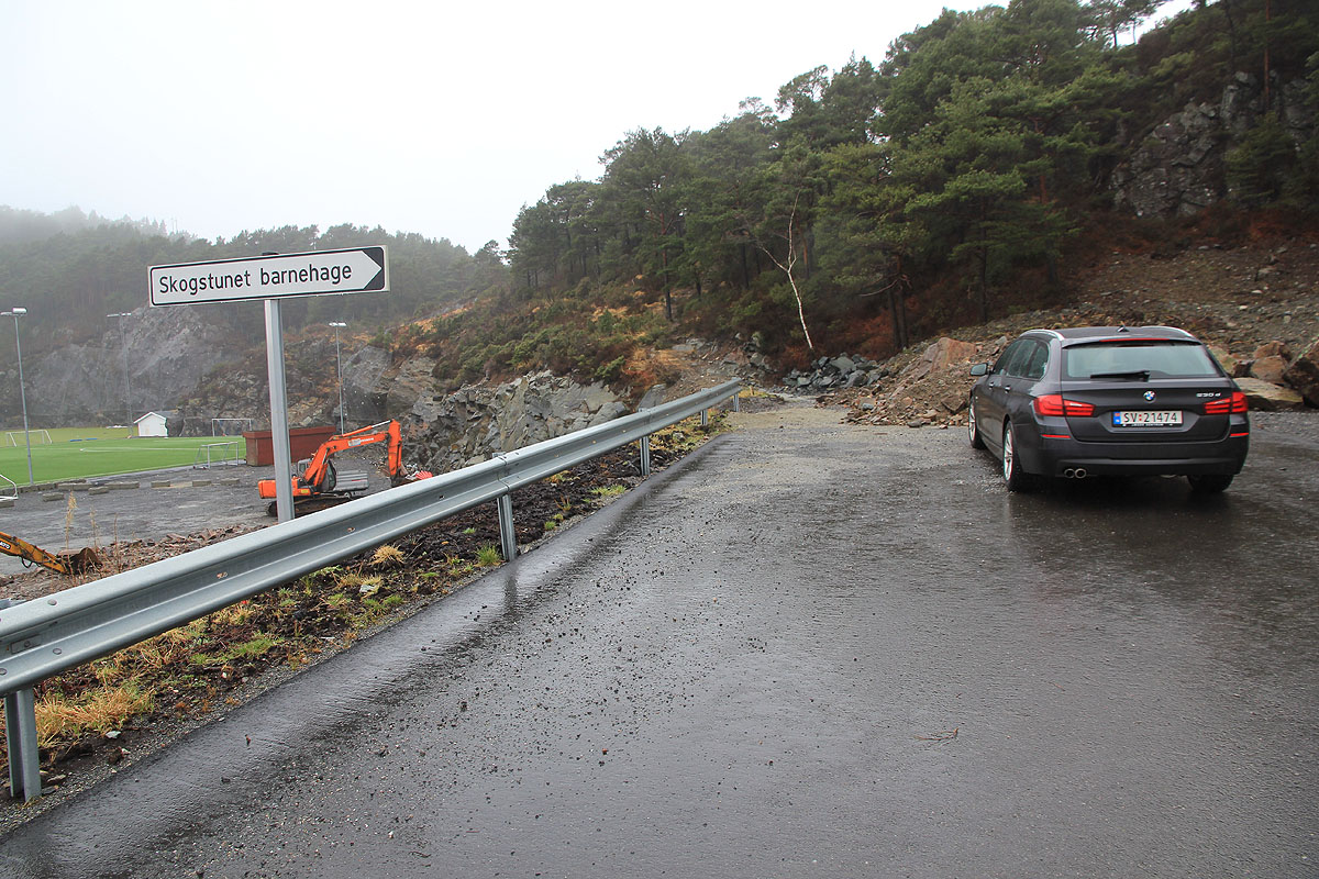
pass a small lake on your right hand side, then as you go downhill, make a sharp right on a road
that climbs up to an area with some soccrefields. Follow the road uphill, then park just
as the road makes a sharp right bend.
This is the trailhead, location N60:24.568 E005:10.937,
elevation about 69 meter.
Route description:
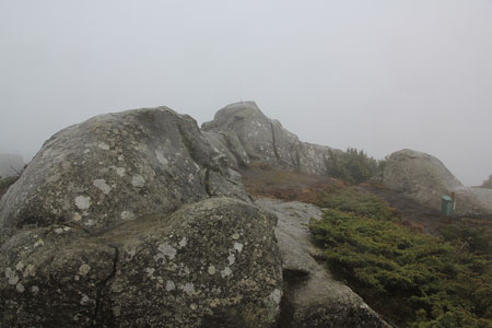
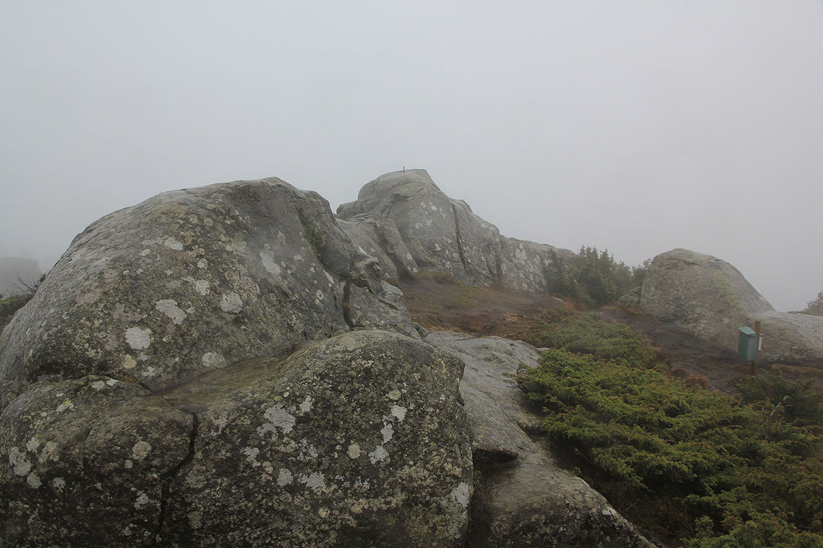
Head straight uphill. The trail will turn right and traverse the ridge that connects to
the main hill overlooking the soccer arena. The trail is well marked and gradually gains the higher
part of the hill, turning more right before ascending to the highest point.
Comments:
I left my car around 1430 and arrived at the summit about 15 minutes later.
On descending, I somehow picked a slightly different trail and ended up down on
the soccerfield.
My trip now continued to Kolbeinsvarden, the highest point
on the island of Askøy.