Location: North 60.48130, East 005.47911 (GPS on the summit)
Difficulty: YDS class 1
Climbed November 25, 2012.
Information:
How to get there:
This mountain is on the island Osterøy. Drive from Bergen towards, but take the large
bridge to Osterøy shortly after driving through the Arnanipa tunnel. Immediately after
the bridge, turn right, then go left in the next intersection (sign for Haus). Drive through
Haus and continue along the coast (cross the small bridge) and head for Votlo. In Votlo,
take the obvious road going uphill, turn left at a road fork higher up and arrive in the small
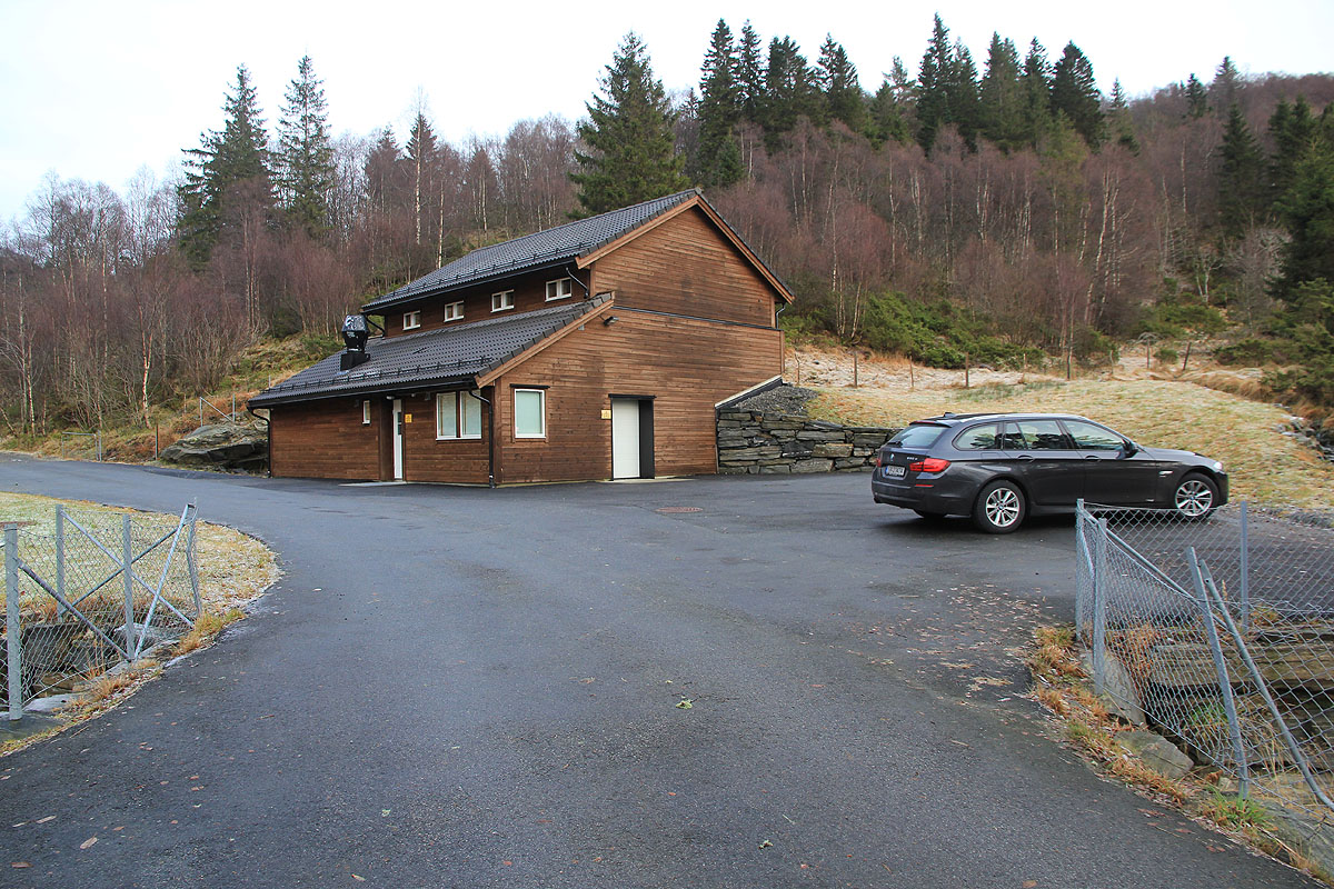
community of Askeland. Continue uphill, the road will enter a paved area with a somewhat
unusual house. Park here, this is the trailhead, location N60.47566, E005.47885, elevation about 240 meter.
Route description:
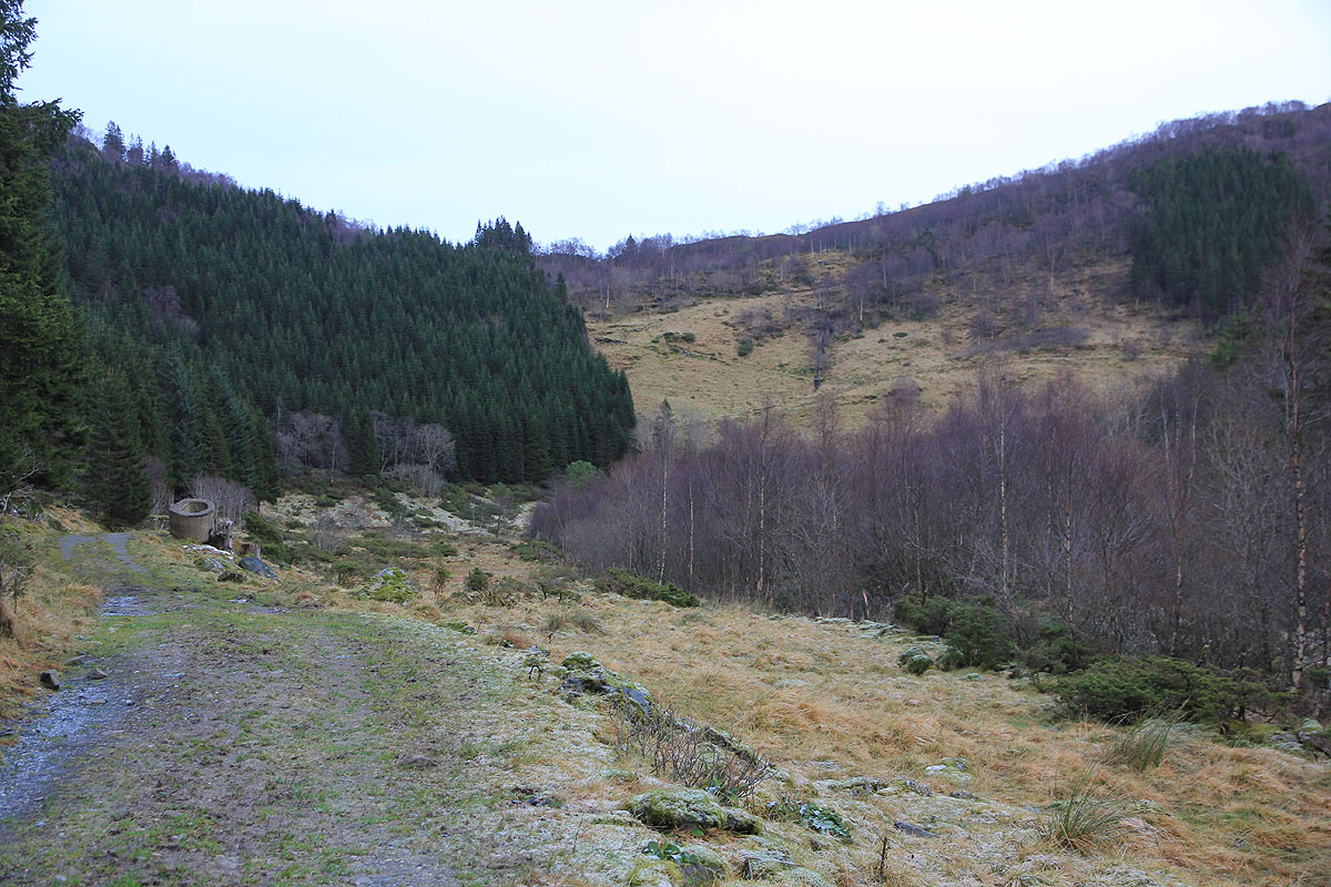
Continue up the road and into a little basin. You can see and old farm-track zig-zag up
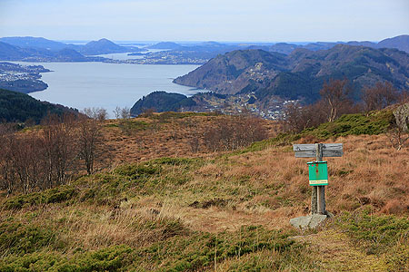
the steeper slope ahead. Hike up and do not fork right. As you reach the saddle between Stemmeseggi (right) and Erstadfjellet (left),
turn left and follow the trail to the summit. There is a trail register.
Comments:
See my comments under the trip to Stemmeseggi.