Location: North 60.38563, East 005.68149 (GPS on the summit)
Difficulty: YDS class 2+
Climbed October 28, 2012.
Information:
How to get there:
Drive to Trengereid, then take Hwy. 7 across towards Samnanger. Going downhill, just after two
small tunnels, make a right on a road signed for Os. Drive this road 1.0 kilometer and look closely for
a small turnout on the left side of the road, you should see a foot-bridge across the creek right there.
Park, this is the trailhead, location N60.38662, E005.66547, elevation about 100 meter.
Route description:
Cross the bridge and follow a small trail to a local hut. From here, head uphill while going left.
The terrain is a bit messy, but you will find your way up to the summit plateau. There is a very visible
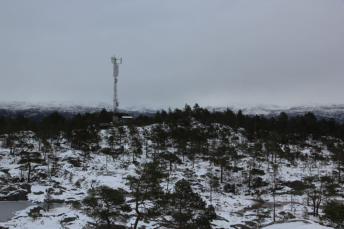
antenna mast. Head over to this mast and
locate a small knoll just past it. This is a local
summit, possibly the highest.
There is another local top about in the middle of the plateau. It may be the higfhest. Both these two
summits must be visited. They both have a 340 contour line around them. The elevation has
therefore been estimated to 342 meter.
Comments:
I started around 1315, and quickly located the hut. From there I went uphill
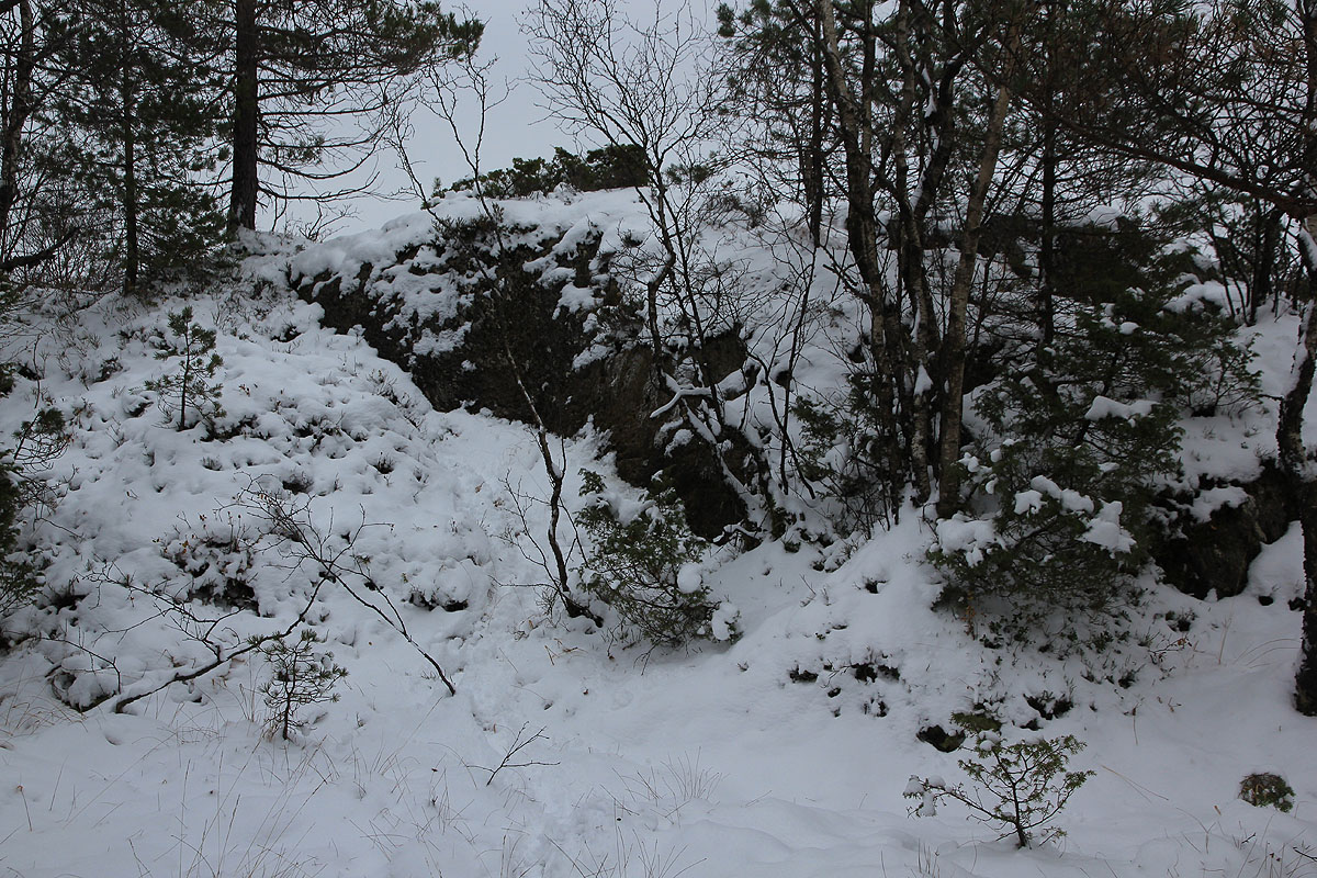
to the right, this was clearly a mistake. The terrain higher up got steep. First class 2+
then class 3. I finally came to the local crux, a class 4 move in order to gain better
terrain about 4 meter higher.
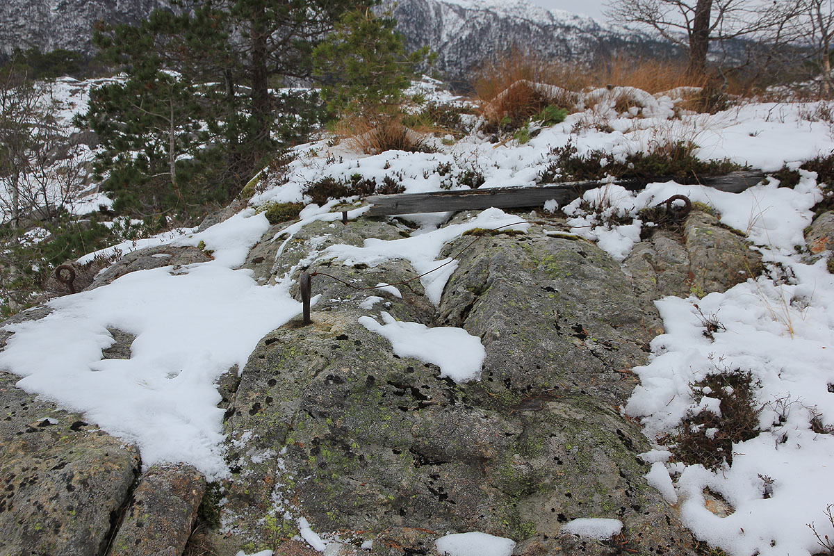
The rest was easy and I soon (1355) found a local summit
with the remains of a trig. point.
This location is N60.38419, E005.67639, my gps read 336 meter. However, the summit more central
to the plateau was clearly higher so I headed over there. This point had location
N60.38481, E005.67837, the gps said 339 meter. The last candidate for the high point was
located close to the antenna mast. I arrived there at 1425 and the GPS said 341 meter.
The two last summits have 340 contours on the map, it is reasonable to assign an elevation
of 342 meter. The GPS readings are too close to call. I would perhaps guess that the center
summit is the higher one, but until a more precise measurement is available I shall designate
the top to be located next to the antenna. I descended a somewhat easier way and returned to my car at 1450.
