Location: North 60:19.528, East 005:23.000 (GPS at the summit)
Climbed April 17, 2008
Difficulty YDS class 2
Information:
How to get there:
Drive from Nestun towards Arna. Turn right in the first traffic circle.
Drive this road until it forks and you can make a left on the road named
Dyngedalsveien. Continue on this narrow road until you just have passed
a small lake/pond on your right side. Make a left up a small side road
or just find a place to park off the road. Ask permission to park if you
drive up the small access road to a house higher up on your left. This
is the trailhead, location N60:19.426, E005:23.384, elevation approximately
100 meter.
Route description:
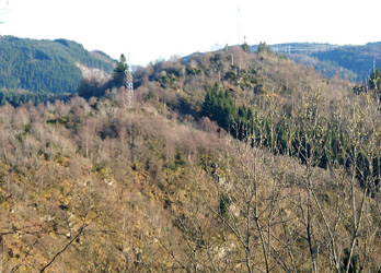
Just hike up the hill. It is not particularly steep. There is a
radio antenna on the top.
Comments:
I picked up Arnt at the airport and we had planned to do a few
small "unknown" hills before dinner. The next day we will travel
to Geneva in order to attempt the 4061 meter Gran Paradiso in Italy.
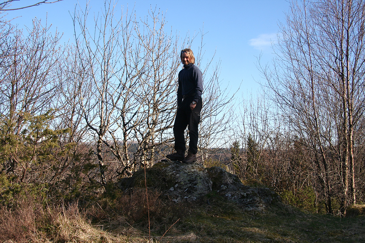
We parked around 1715 and headed up to the local top, reaching it about
1730. We also visited the small top slightly further south, but concluded that
this one was slightly lower. Returning to the car, we measured the saddle and decided
to settle for 80 meter, somewhat consistent with the map of the area.
We then proceeded to climb Hånuken followed by the slightly
higher Furekampane.