How to get there:
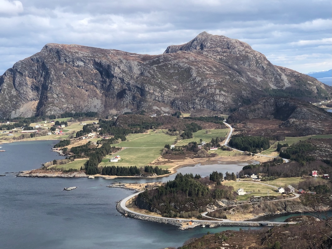
This mountain is on the island Otrøya. Easy to reach by ferry from Julneset directly
west from Molde. Continue to Midsund on the west side of the island.
From here, continue west across the island of Midøya, then another small bridge to
Dryna. The road ends at the ferry pier, park here. Location N62.63992, E006.52326.
Route:
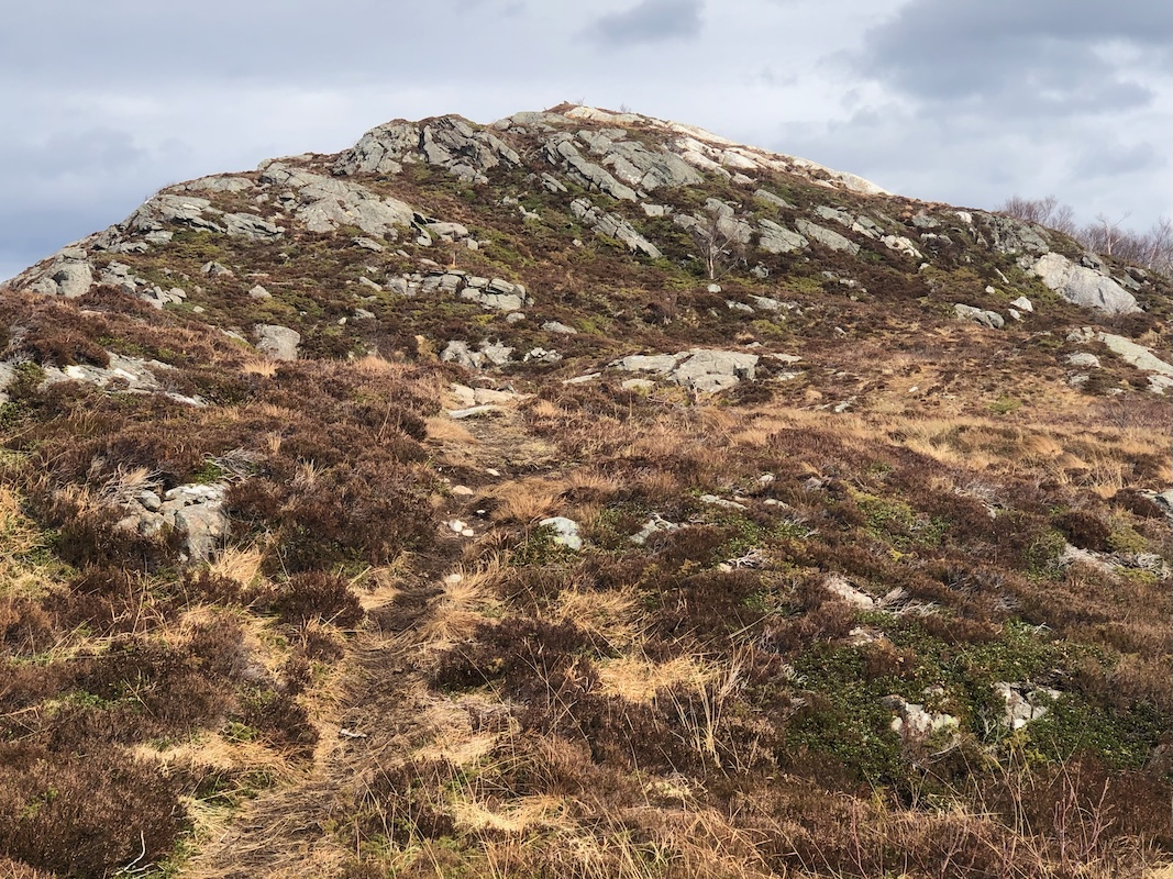
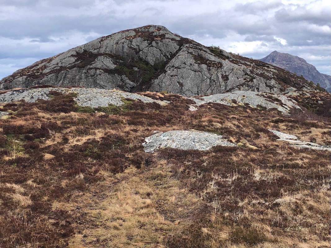
The trail starts directly up a small forest road. Continue to an obvious left bend where
a signed trail forks right.
Follow this trail
across several bumps (false summits) to
gain the true summit at the east end of the mountain.
Comments:
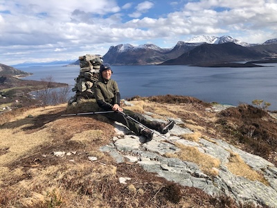
After our nice climb of Bløkallen, we had time for a short second
ascent and Drynjahatten seemed like an obvious choice.
We parked at the very end of the road at 1400 and had a nice 30 minute
hike to reach the summit at 1430.
Nice weather, but quite windy. After a brief stop, we returned to
the car at 1505. Time to drive home to Per's house for a well earned dinner.