Location: North 35.84592, East 014.39597 (GPS on the summit)
Climbed September 16. 2017
Difficulty: YDS class 1
Information:
How to get there:
The highest point (or more correct) area on Malta is located
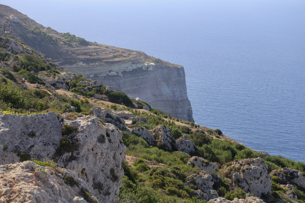
west of the capital Valletta, here cliffs fall steeply to the coast.
The highest area is here, that is across the island relative to Valletta.
Drive west, as you get closer there are signs for Dingli, follow these.
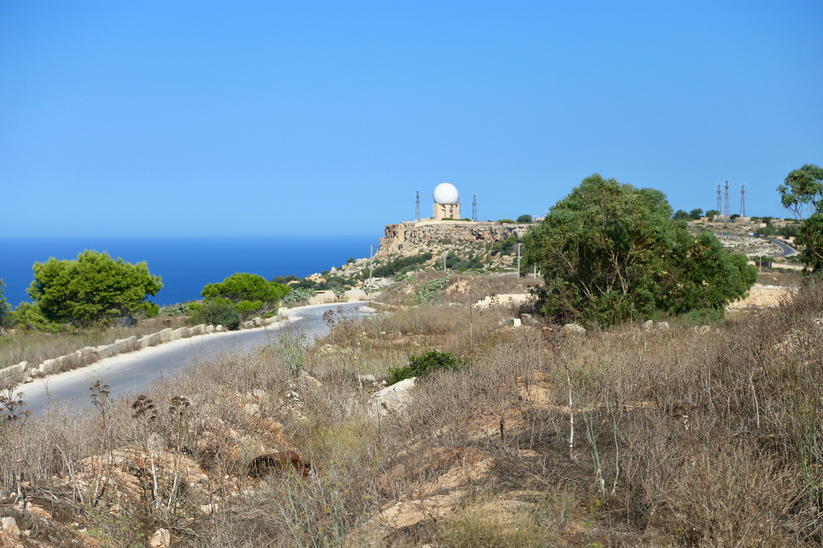
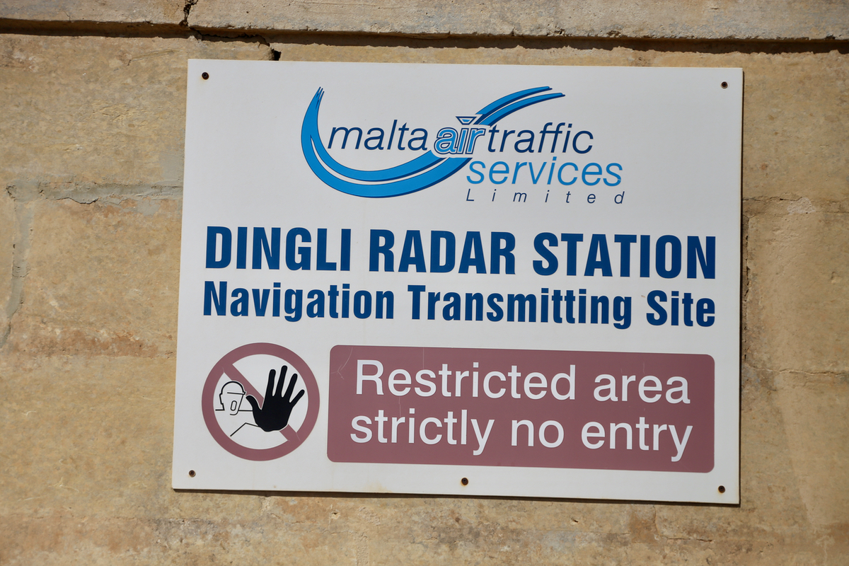
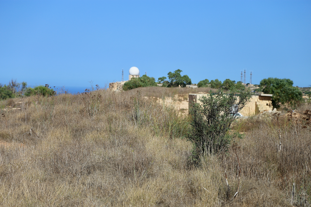
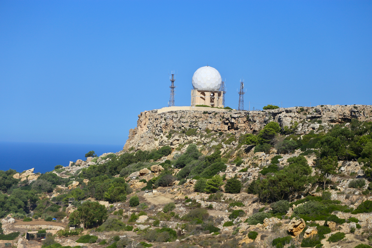
Eventually, you will see the
characteristic white dome of the radar station.
A Hwy. runs along the top of the cliffs from near the radar station and south east.
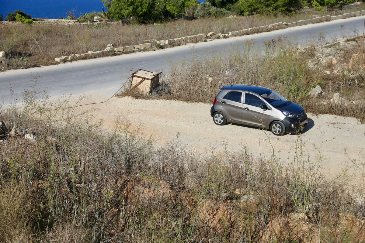
Follow this road south east and make a left turn into a small road where you
immediately park. This location is very close to the summit, near
N35.84592, E014.39597, elevation about 250 meter.
Route:
In order to explore the highest point on Malta one should visit the location near the radar
station as well as the location mentioned above.
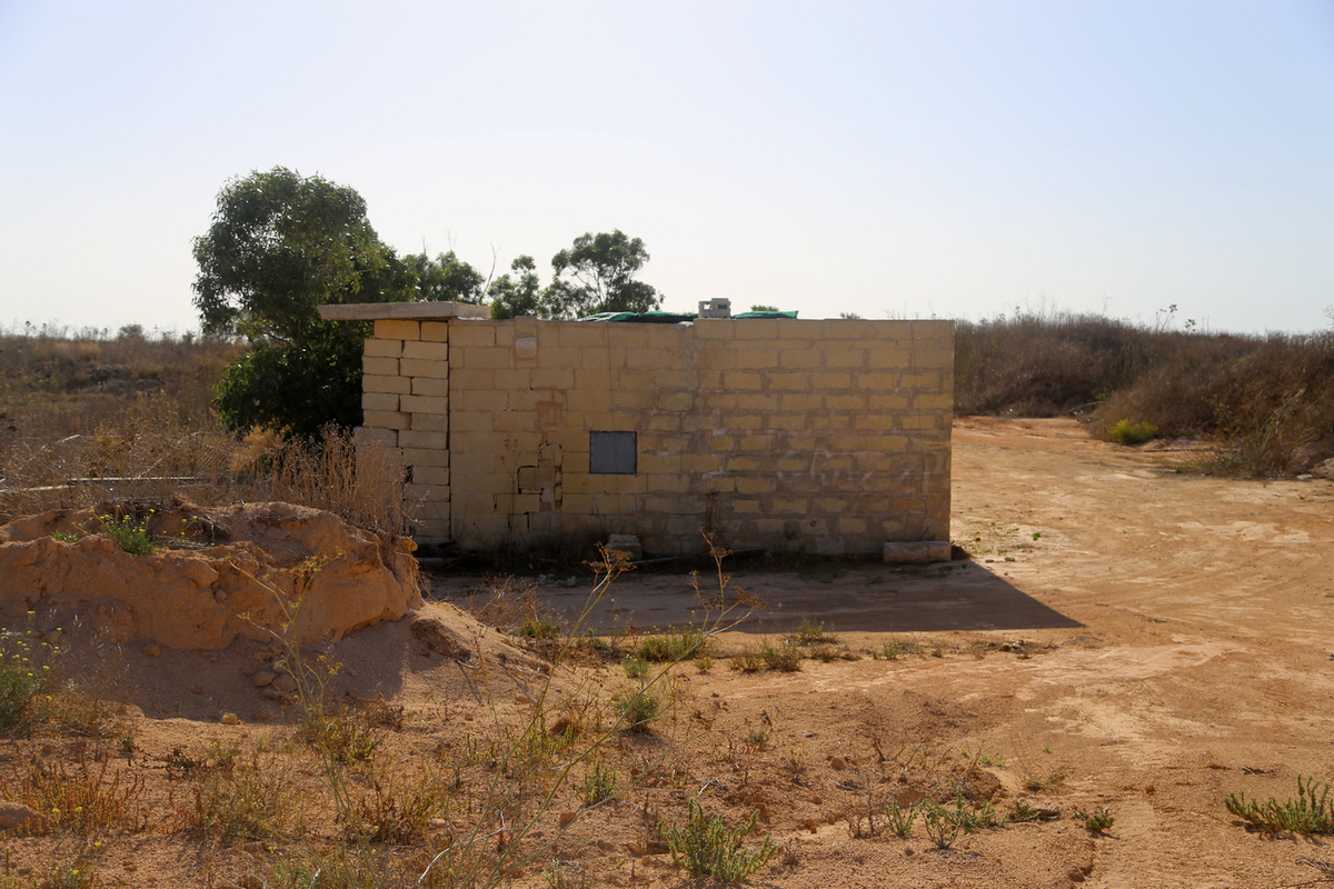
First, after parking as directed above, walk this small road, it bends sharply right towards
a building. From here, a
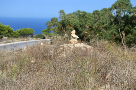
small path leads easily up to the local
top marked by a small cairn.
You are now directly above your car.
Second, drive back to the radar station and branch left onto the road that serves the
radar. The radar itself is off limits,
however make a short stroll along the top of the
cliffs on both sides of the radar. This area may well consitute the highest
natural area of Malta (see below for further comments).
Comments:
I spent a couple of days on Malta as part of the department annual administrative trip
where we visit another computer science department. Saturday was open before an early Sunday flight
back to Bergen.
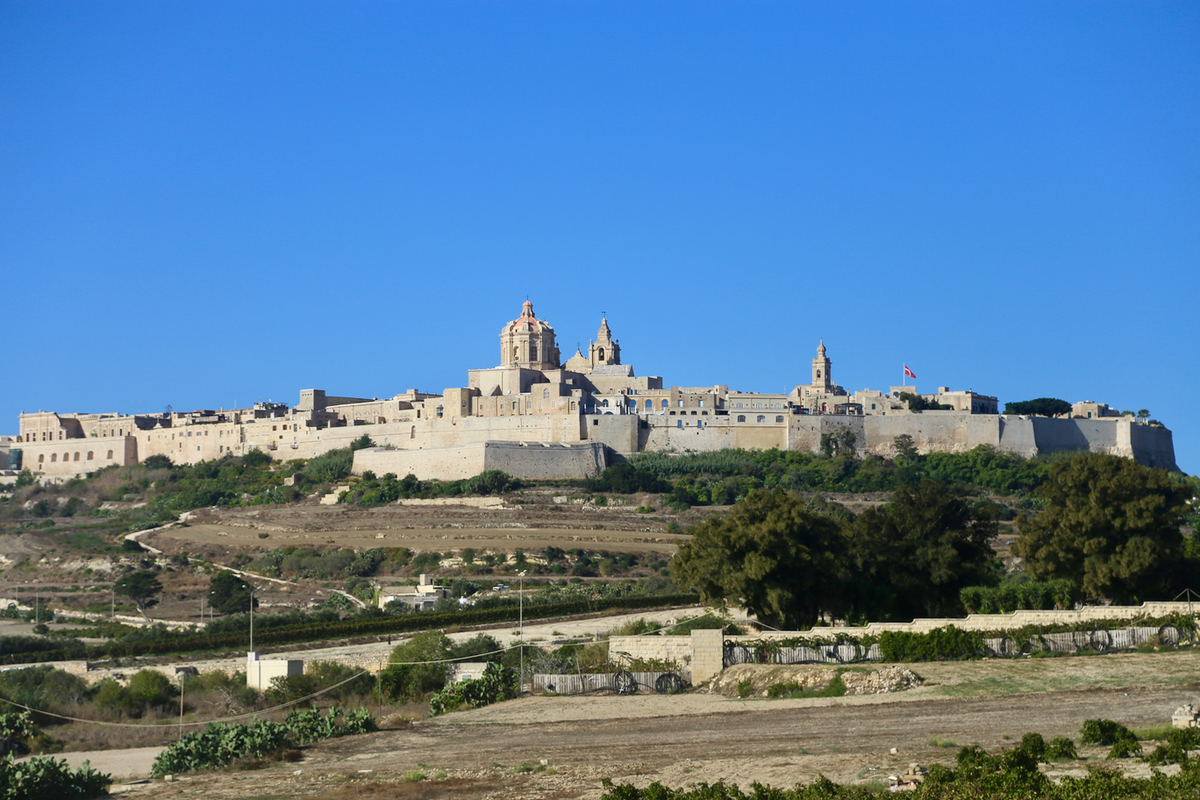
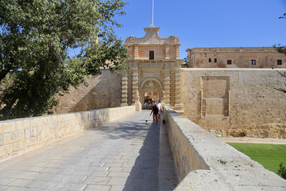
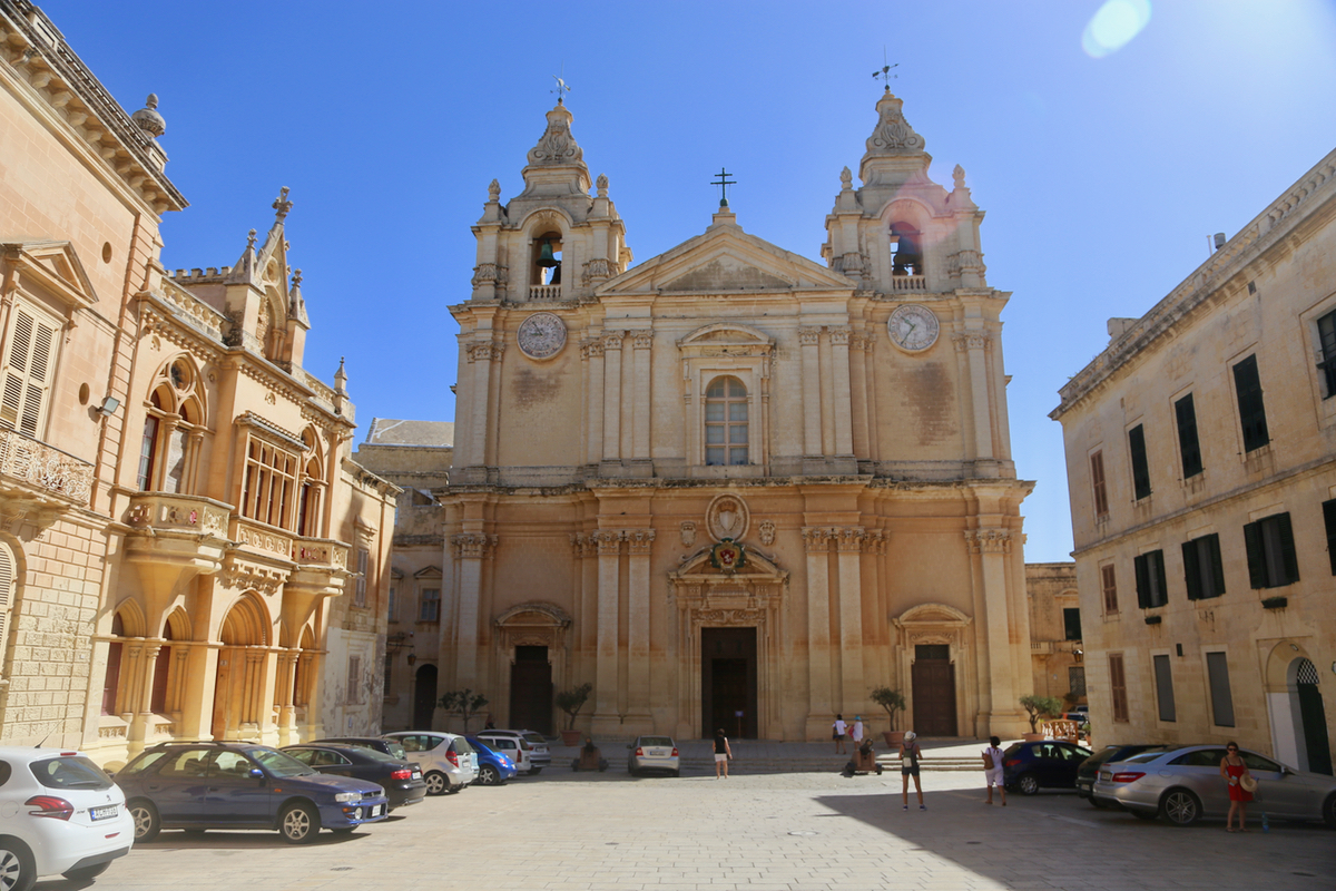
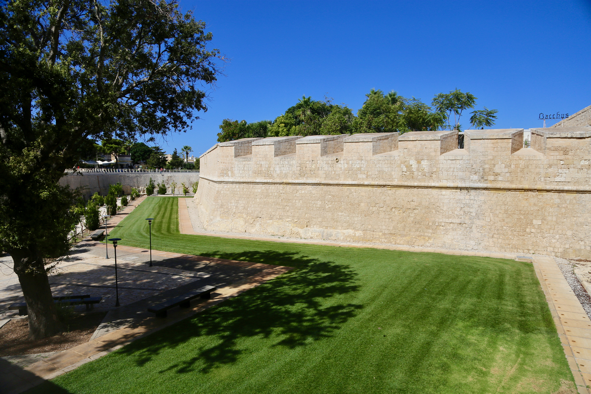
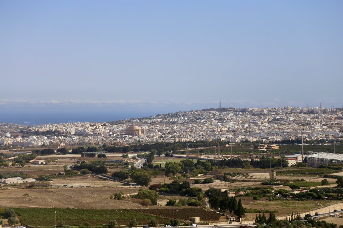
I rented a car (Euro 30) and set out from our hotel around 0900. Along the way, I passed and paid a visit
to Medina, a small,
historic city with quite
impressive architecture and
well preserved walls all around.
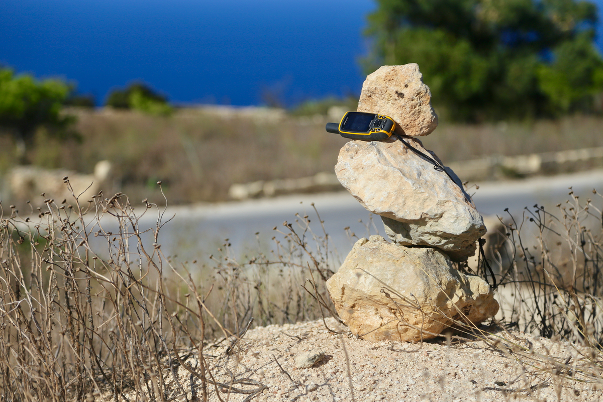
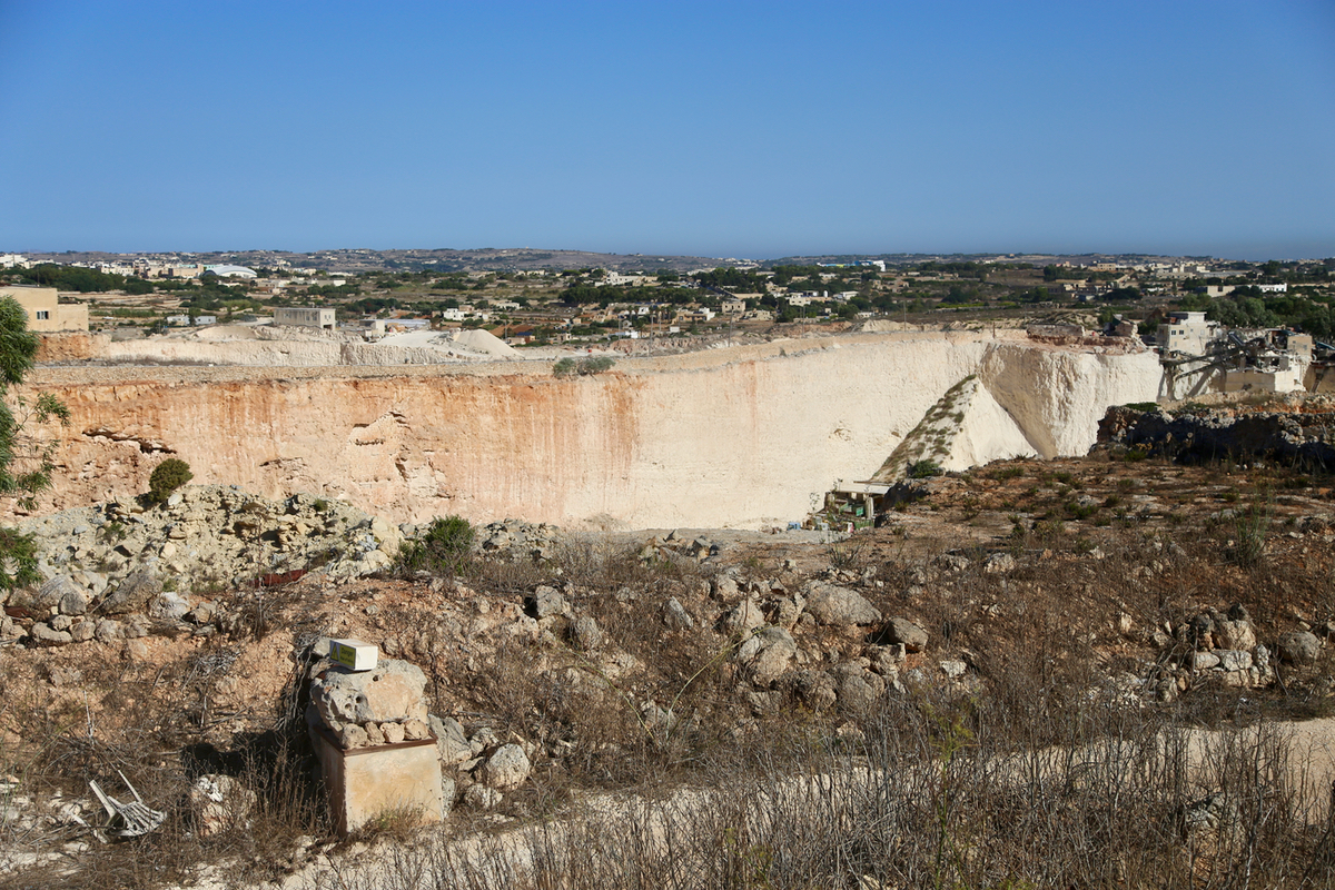
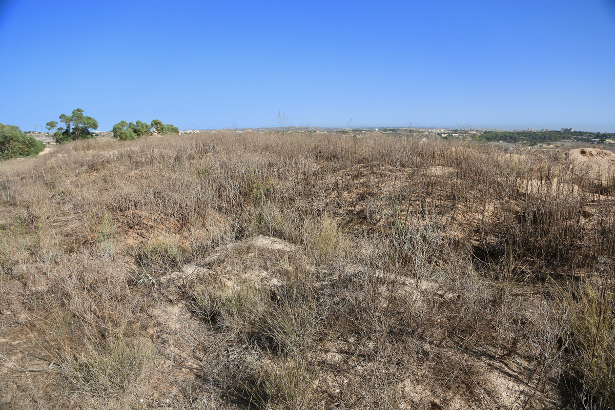
The radar was easy to spot, I first drove down to the location of the genrally agreed high point. This is a
local ridge consisting
of small piles of gravel. Right next to
this site is the Ta'Zuta Quarry. It looks very
probable indeed that these heaps of gravel
are all man made.
I measured the one with a cairn,
then walked south-east
to the last one, it measured about one meter lower.
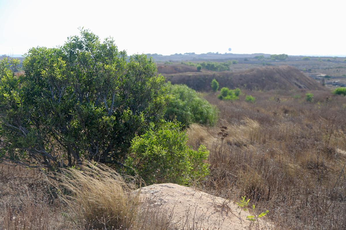
Next, back to the radar station.
The area here is also very horizontal, a few local bumps and a general
elevation that measures a couple of meter lower than the first location. I guess one should really visit
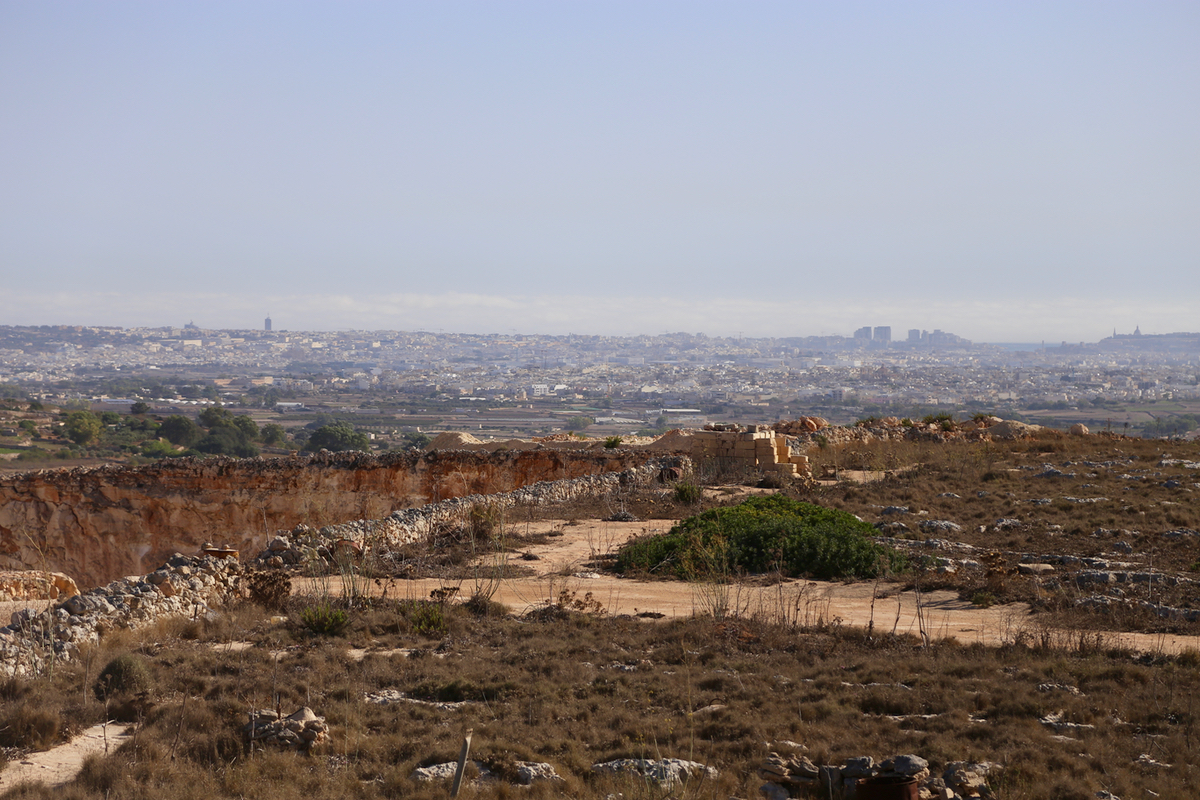
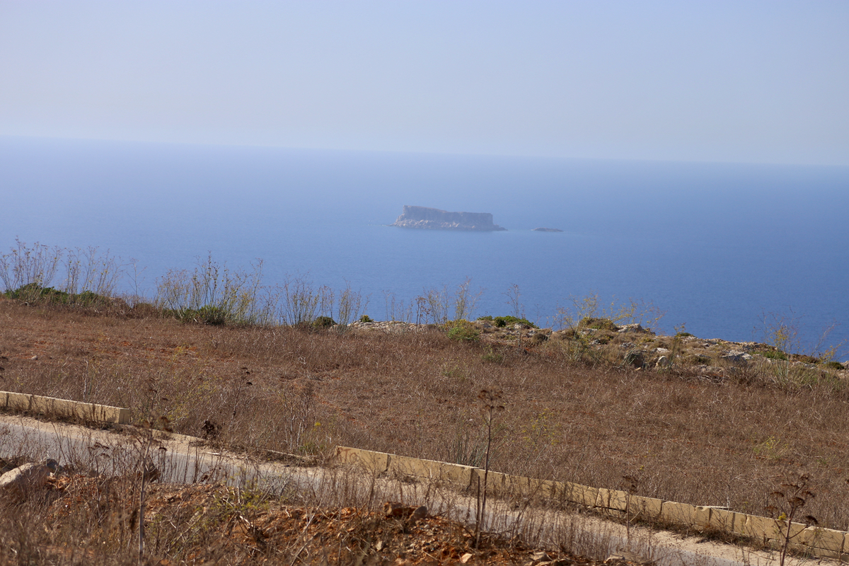
both places when in the area. The view across the island is
nice and the view of the cliffs and
the sea likewise.
I continued my trip to the ferry that serves the smaller island of Gozo. There, my plan
was to climb my second island HP for the day, a small hill named Ta'Dbiegi.