Location: North 37.84586, West 25.75838 (GPS on the summit)
Difficulty: YDS class 1
Climbed: July 30. 2014
Information:
Here is a quick summary of my climbs in the Azores islands.
How to get there:
Drive from Ponta Delgado to the airport, but continue through Relva, the take the first
right signed for Pico do Carvao. After driving by this peak, turn right on a paved side-road, this
is immediately before a tourn-out with information about a hiking trail. After only a few hundred
meter, in a sharp right curve, a dirt road forks off to your left and enter the forest.
This is also a hiking trail. You may leave the car here and do this climb as a short hike, approximately
1.5 kilometer to the top, or you may drive there, as the road is quite ok for a normal car.
Route description:
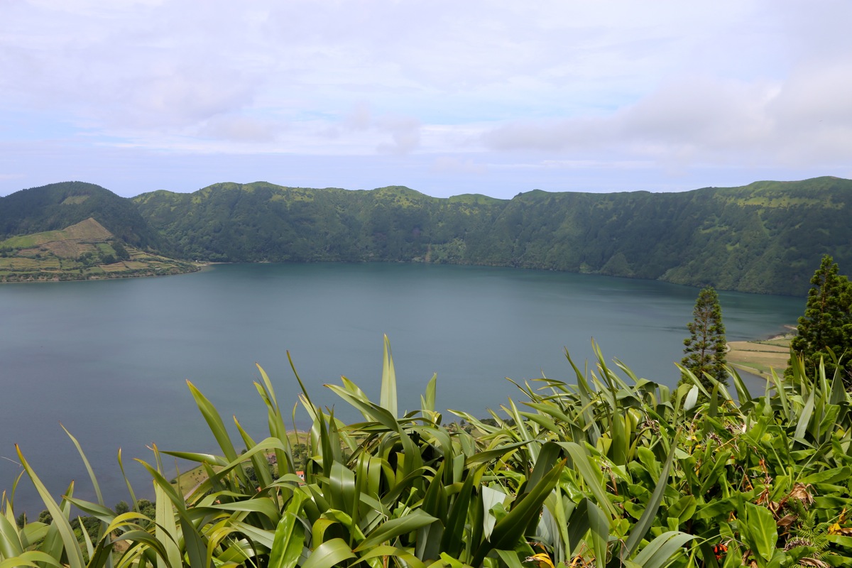
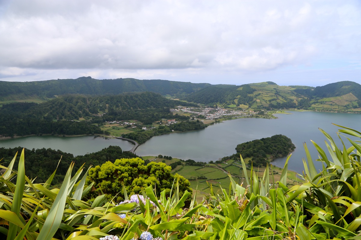
The summit is at the top of a long uphill road. This summit is the highest point along the
big caldera that
contains the famous Sete Cidades.
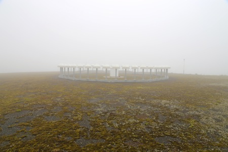
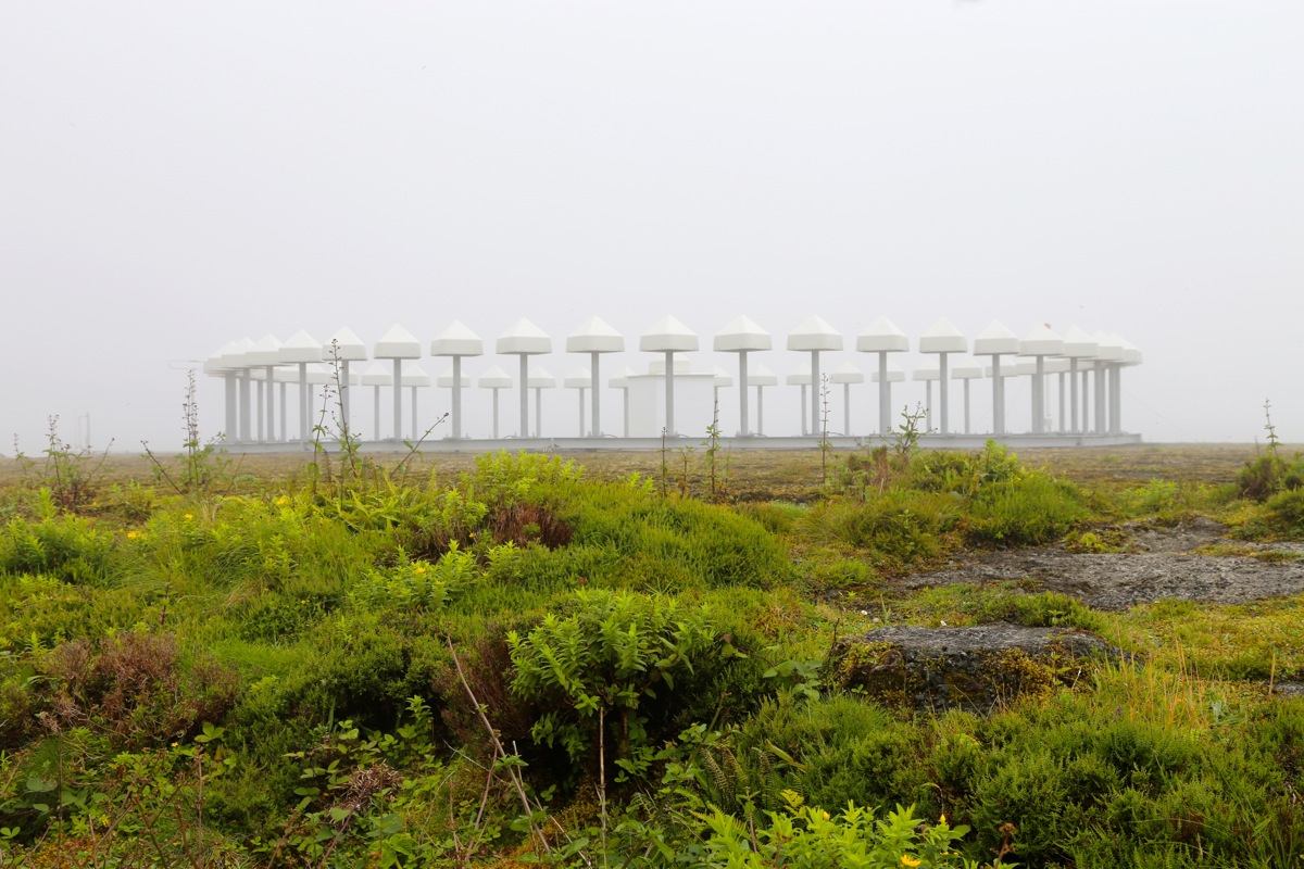
Unfortunately, the summit has been leveled
into a flat area to hold some
sort of radar equipment.
If the map elevation of 851 meter reflects
the current elevation, then almost certainly this mountain was at least 5-6 meter higher before and
most likely a P100 mountain. As it is, a prominence of 96 meter has been assigned.
Comments:
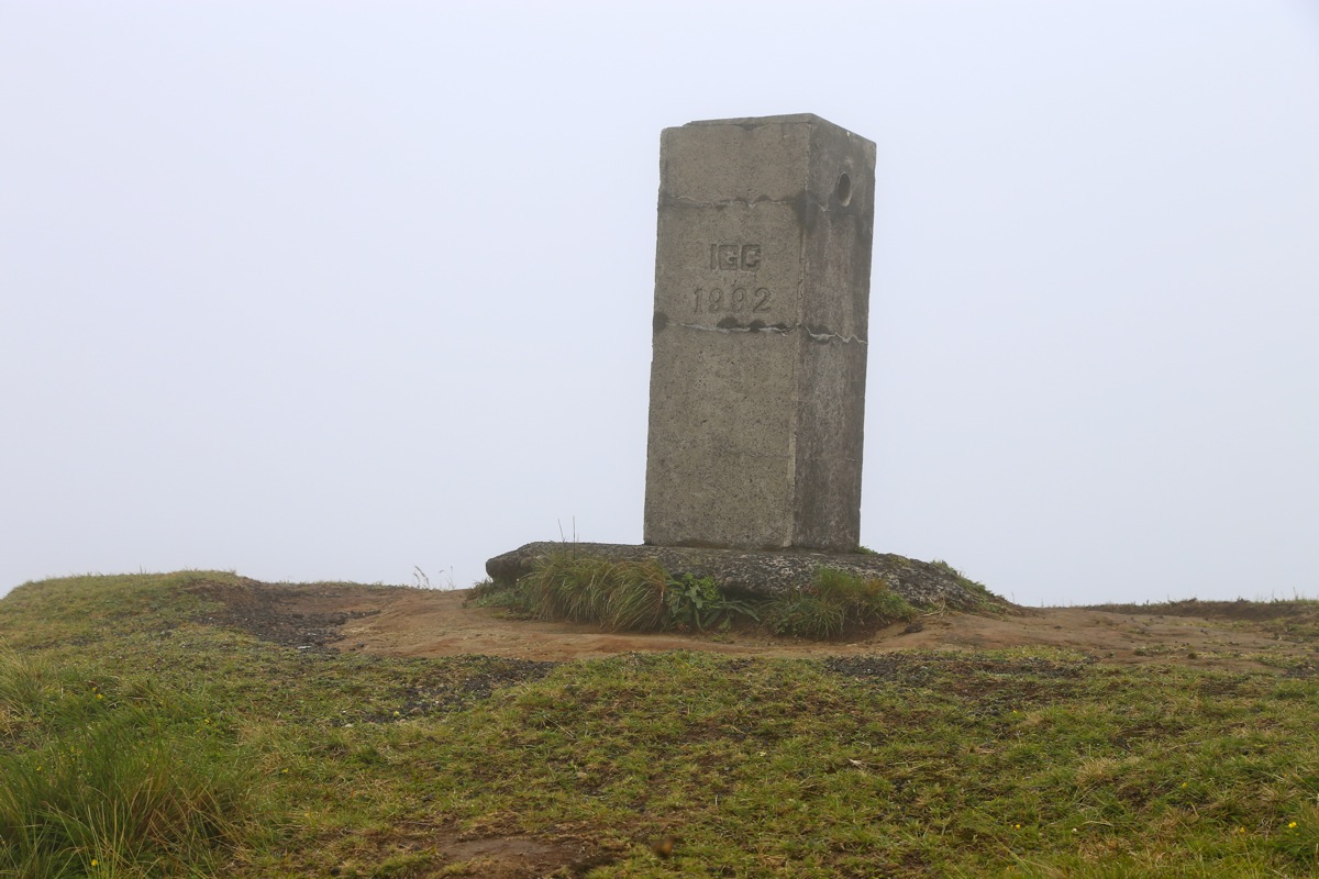
I drove here with my wife Heidi on an exploratory trip of the area. I also visited the
current official marker that
has an assigned elevation of 845 meter.