Location: North 60.33606, East 005.76410 (GPS at the summit)
Climbed August 8, 2015
Difficulty YDS class 2
Information:
How to get there:
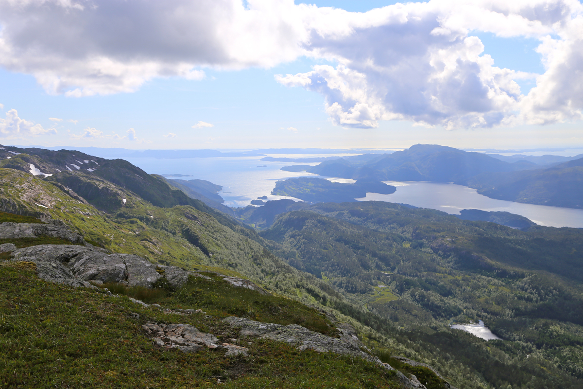
Drive E-16 from Bergen, then in the traffic circle at Trengereid, take the first exit onto
Hwy. 7. Follow this road across to the Samnanger fjord, then leave the fjord and drive
through a pretty long tunnel that exit into a traffic circle where Hwy. 48 runs south.
Measure from this traffic circle. First, continue 1.3 kilometer along Hwy. 7. Turn right,
leaving Hwy. 7, at this point. The road first runs parallel to Hwy. 7, then heads uphill.
Follow this road 2.7 kilometer from the turn-off. There is a small, signed area for parking
here. There is a box with envelopes and a box to deposit, toll for parking is NOK 50 (2015).
Park here, location N60.36421 E005.81259, elevation about 290 meter.
Route description:
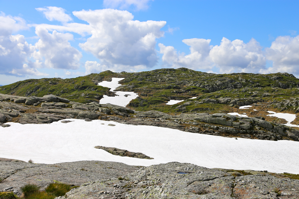
From the parking, continue the small road, ie. right if you stand facing the
uphill mountains/hills. This road curves around left and climbs gently as it
turns into a forest road. Continue until you see a big wooden bridge (left)
crossing the creek. Locate a smaller trail that forks right here. Follow this
trail as it more or less runs parallel to the creek, but higher up
in the hillside. The trail may be difficult to see in places, but it runs all
the way up to two cabins located near a small lake north-east of the summit.
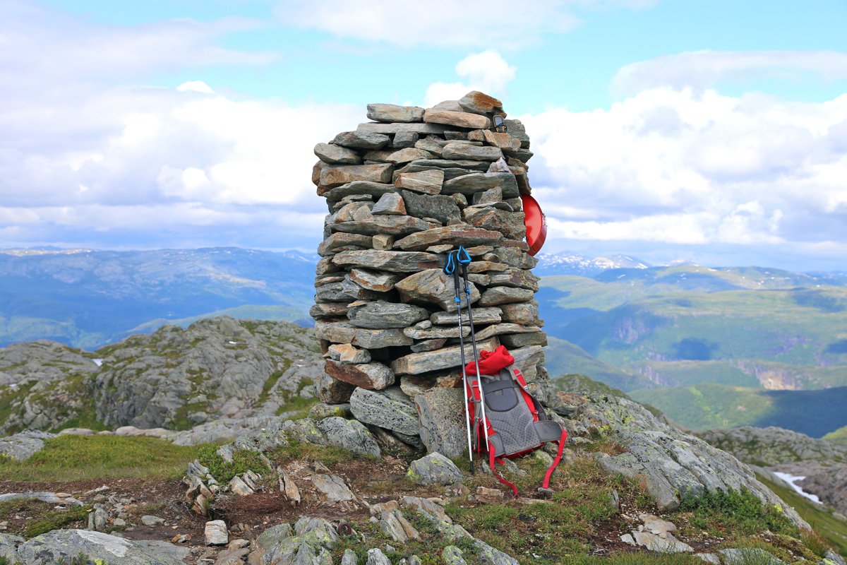
From here, ascend on the left side of cliffs and follow natural terrain along
the top ridge to the summit with a large cairn. From Trælafjellet:
From Trælafjellet, head north-west
and stay above the lake then contour
around on the north side of point 902
(north-east of Solafjellet).
Pick your way steeply down into the valley, then more or less directly up
another steep hillside directly to the summit.
Comments:
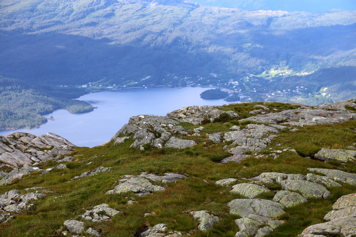
I came across from the summit of Trælafjellet and arrived
at the summit at 1610. Next, I tried to follow the route back to the car. I lost the trail
shortly after the two cabins, but found it again a bit further along (and down to my right).
I was back at the car at 1730.
