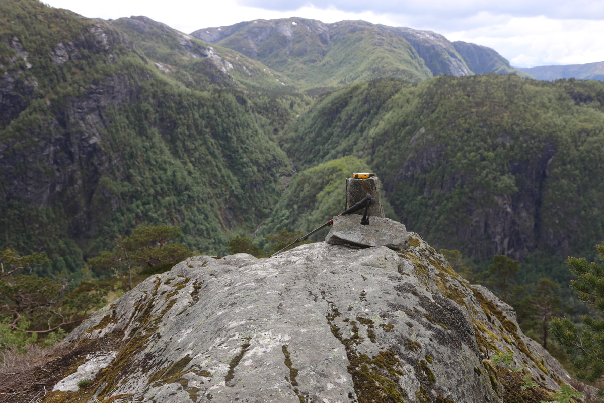
Location: North 60.58564, East 005.80651 (GPS on the summit)
Climbed May 26. 2019
Difficulty: YDS class 2
Information:
How to get there:
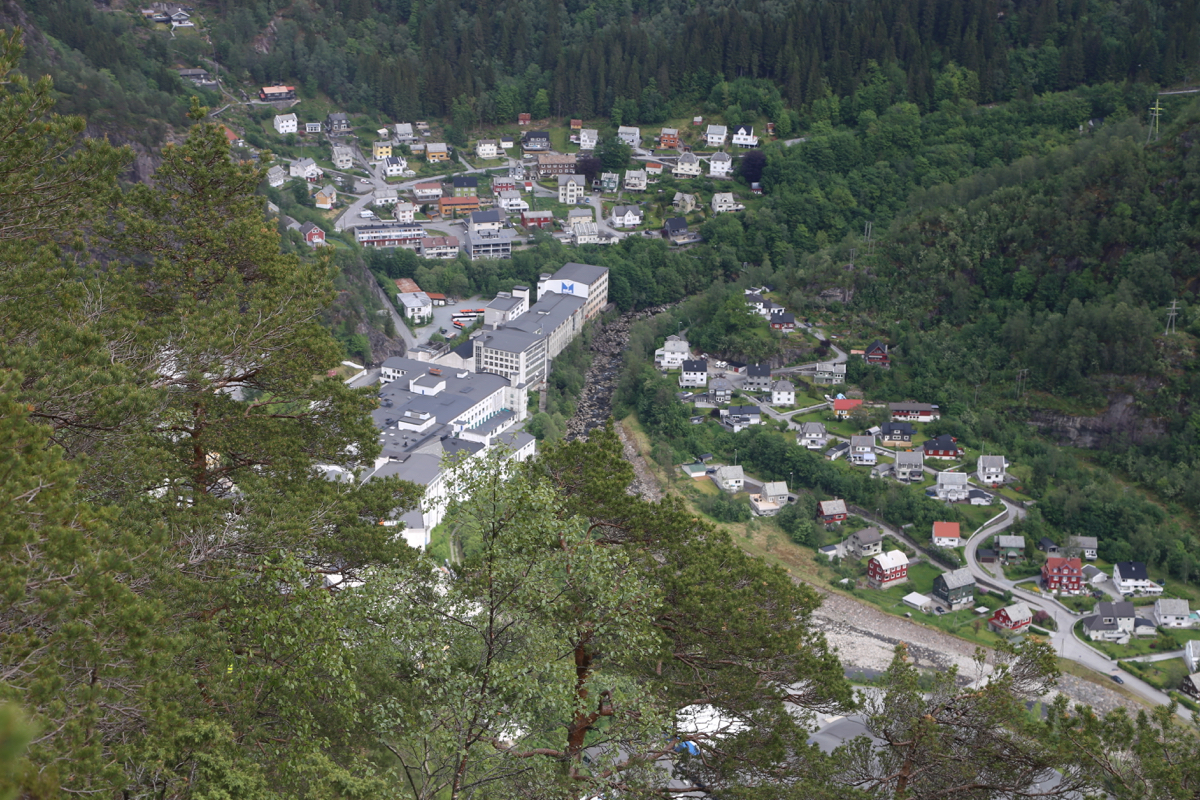
Drive E-16 towards Voss (Oslo). When you arrive at Dale,
pay careful attention. Drive past the signed exit to the
center of Dale. Then, very shortly thereafter, find a small
parking off the road on the left hand side (pay attention
this is an 80 Km/h highway.) This location is at
N60.59194, E005.81666, elevation about 75 meter.
Route:
Follow the old remains of a forest road uphill, it will
turn righ and do an ascending traverse. Shortly after it
again makes a left, there is a trailfork. The right
fork is signed for Krokavatnet, the left fork is unsigned.
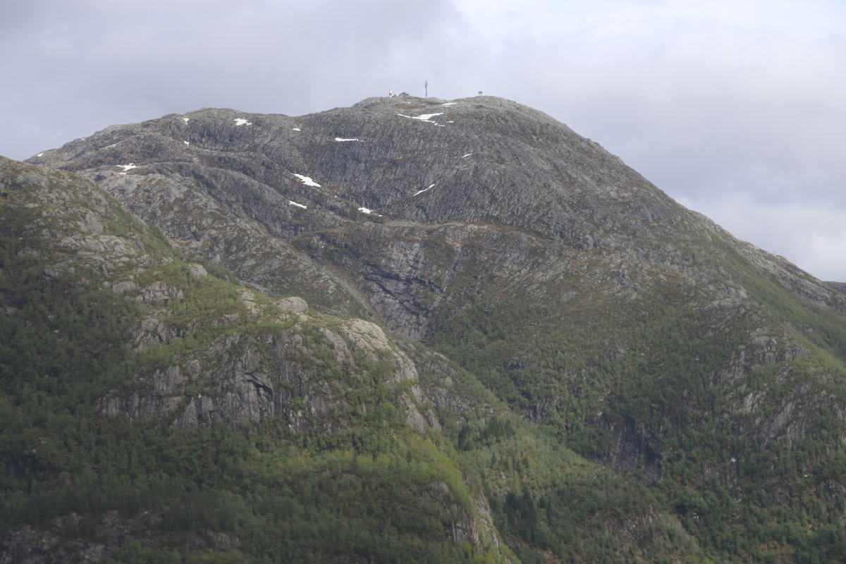
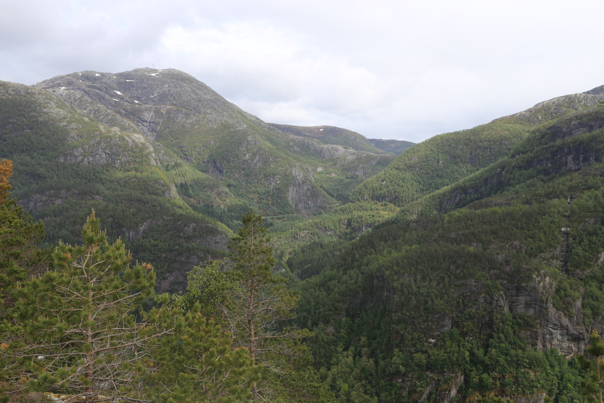
Take the left fork, this trail leads to the summit of Beitelen.
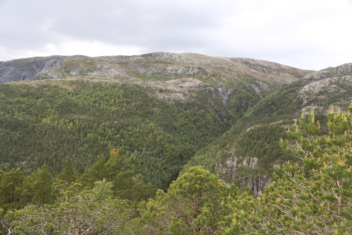
Follow the trail to the summit. It climbs steeply in a few places, but
is generally in good condition. You end with a nice stroll
south on the broad ridge to
find the summit at the very end.
Comments:
I had just climbed Kvigedalseggi and decided
that I had time to also visit this mountain that I have driven past (and under in a tunnel)
so many years/times.
I left at 1450 and arrived on top in 40 minutes. Good views in all directions
from this little, somewhat strange hill. Dale is certainly a town with many
steep mountains. After 10 minutes on top, I descended back down
in 30 minutes.
