Location: North 68:28.614, East 016:16.432 (GPS on the summit)
Difficulty: YDS class 2
Climbed June 3, 2007
Information:
How to get there:
This mountain is located between the two cities Harstad (to the north) and Narvik
(to the east), on the island Tjeldøya. The mountain is the island HP.
Locate the Evenes airport along E-10 connecting the two cities. North of the airport,
Hwy. 824 connects from E-10 to the bridge that connects the island to the mainland.
If you arrive from the Narvik (airport) side, observe that there is a small shortcut
road, thus avoiding to drive to the road fork near Skånland.
Cross the bridge and make a right, then drive around the north side of the island and
further south-west along the Tjeldsundet water way. Continue to the place Skavstrand,
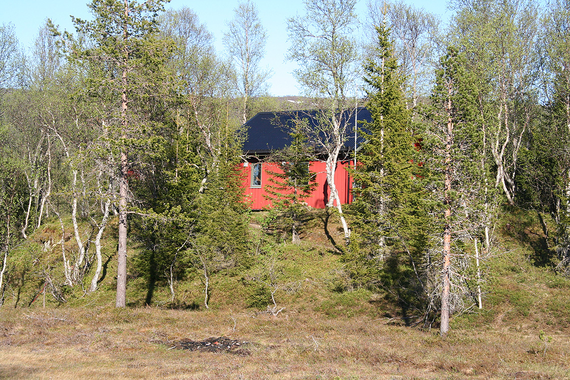
where you may turn left and find parking outside of the many reserved places for local
summer cabins. This is before the road crosses a small inlet via a tiny island.
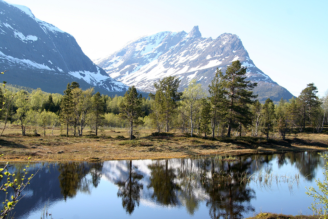
The location is N68:29.005, E016:09.078, elevation 7 meter Route description:
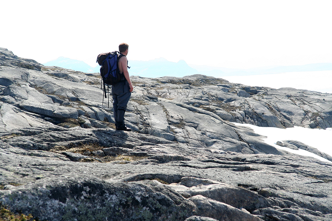
From the trailhead, the easiest route is just to proceed up the ridge. Higher up, one
should gradually shift right to the parallel ridge (to the south-east). There is a pretty
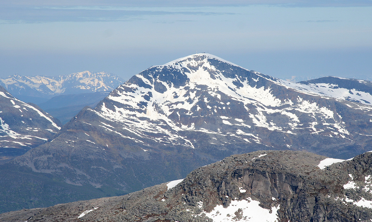
distinct valley (Forsdalen) that separates these ridges from the mountain Kjerstadtinden (854m).
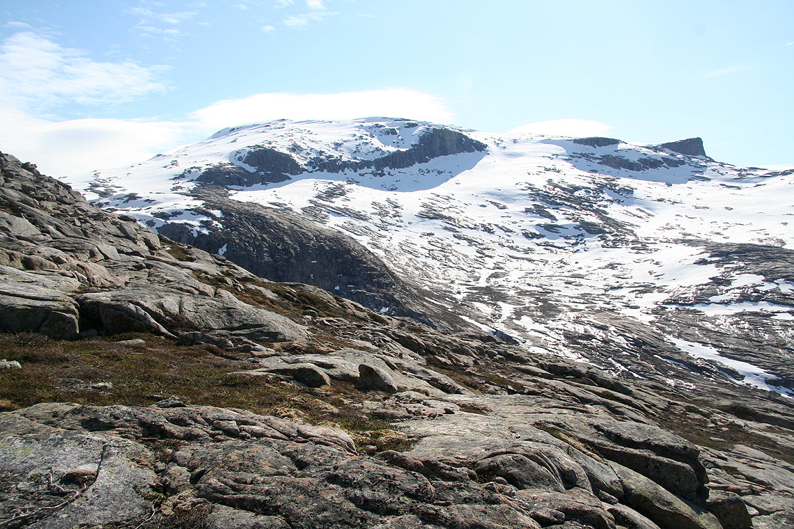
Proceed uphill until you reach the col north of Trollfjellet at approximately 730 meter. There is
a small hump marked at 778 meter north of this col. Finally, hike straight south up the easy slope
to the Trollfjellet summit plateau.
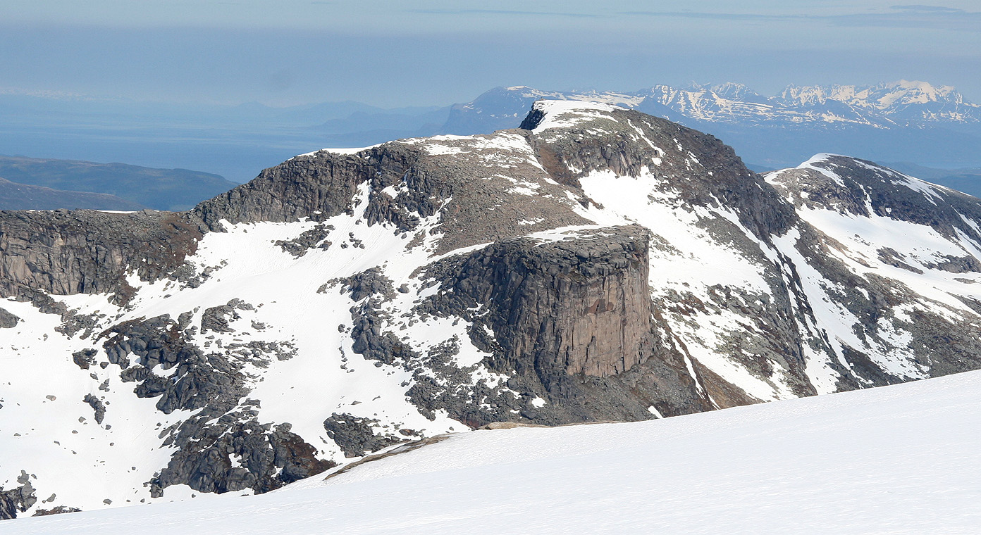
The cairn is to the north-east, while the highest point is located on the north-west
side of the very flat summit area. Comments:
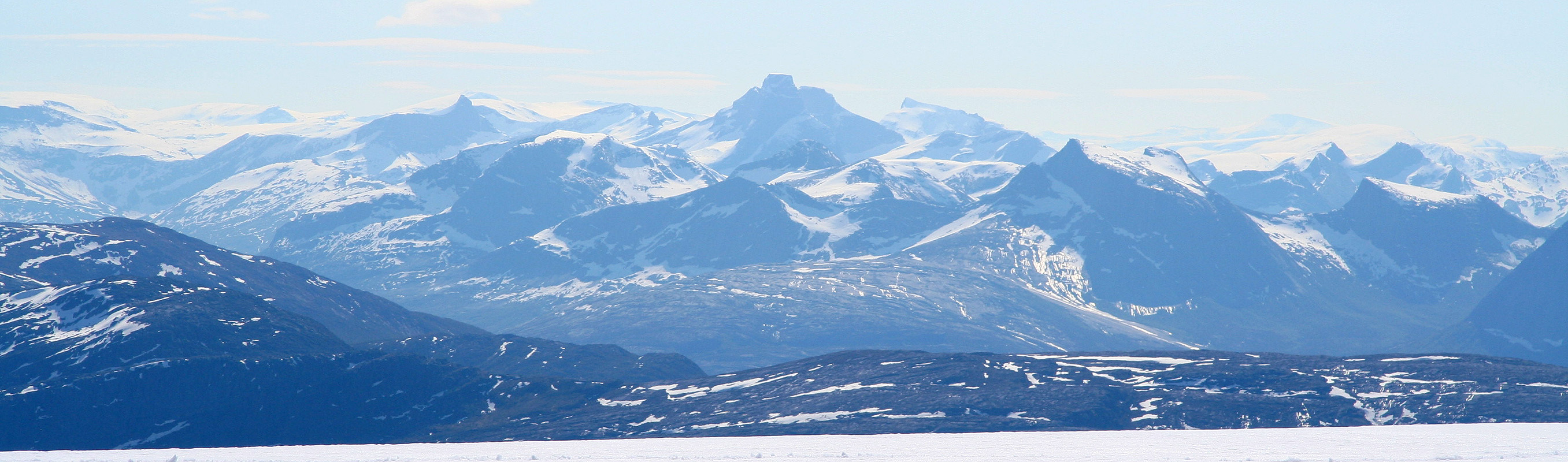
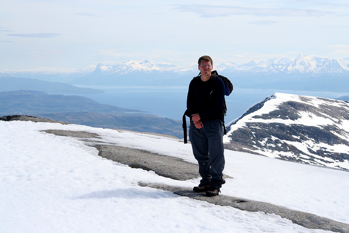
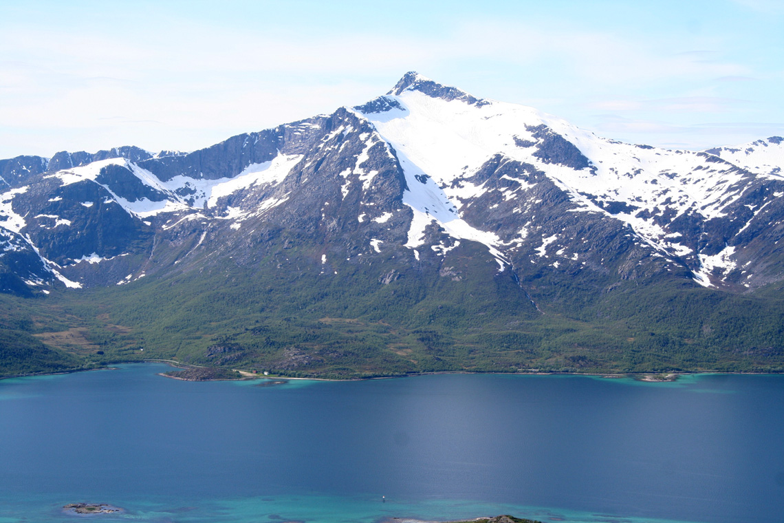
I did this climb with Edward Earl and Geir Åke Dahlen. We had set up BC at the
self serve tourist hut Skoddeberghytta the day before after a very successful time
in Sarek
and Lyngen. I broke a ski in Lyngen (from fatigue), and therefore we decided
to aim for a couple of mountains that would not require skis.
We started hiking around 0930, made the summit at 12 noon, and had quite a good rest
on the summit plateau before descending. The weather was nice and the hike went nicely
without skis. The last north facing slope had snow, but it was pretty firm and allowed
for comfortable, but not too deep footsteps to be made.
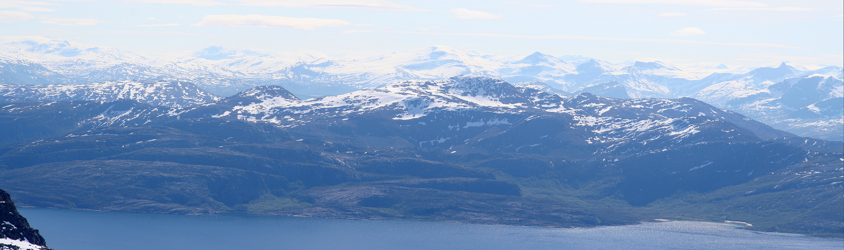
We went to the island of Grytøya the next day, in order to climb
Nona. This would conclude my trip, while
Åke and Edward would later maske an attempt on Jiehkkevarri.