Chao dos Terreiros
- Chao dos Terreiros
- 1436 m
- Primary factor 200 m
- Location: North 32:42.967, West 017:00.117 (GPS at the summit)
- Madeira, Portugal
- Difficulty: YDS class 1
- Climbed: December 14, 2011.
Chao dos Terreiros
|
|
Summary information about all hikes and climbs in Madeira.
How to get there:
Drive from Funchal west towards Ribeira Brava.
Take the Campanario exit (just after a tunnel and before e bridge)
and find a road (go right!) that climbs towards
the small village of Fontes. Going through Ribeira Fundo
works well, but there are alternatives.
Coming from Ribeira Fundo, you climb the hill up to Fontes, the
road becomes level just as you enter the village. Measure from here.
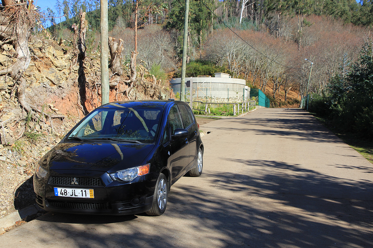
Drive through Fontes to kilometer 1.1. At this location, turn sharply
left and onto a smaller road that heads uphill. Continue to kilometer
2.1 where the pavement ends. Park here, this is the trailhead, location
N32:42.269, W017:00.678, elevation about 1080 meter.
Note: The trailhead described for Serradinho may be an easier option.
Route description:
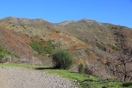
Continue straight ahead. Follow the road as it climbs and runs by
a white house, then continues uphill along the ridge before turning more left onto
a larger slope. There are a few forks, but stay on the main farmers road as it
keeps climbing while making big switchback turns. Eventually, you will
reach a locked gate, with a hikers bypass on the right. Cross and continue until the
road runs out very close to the final summit.
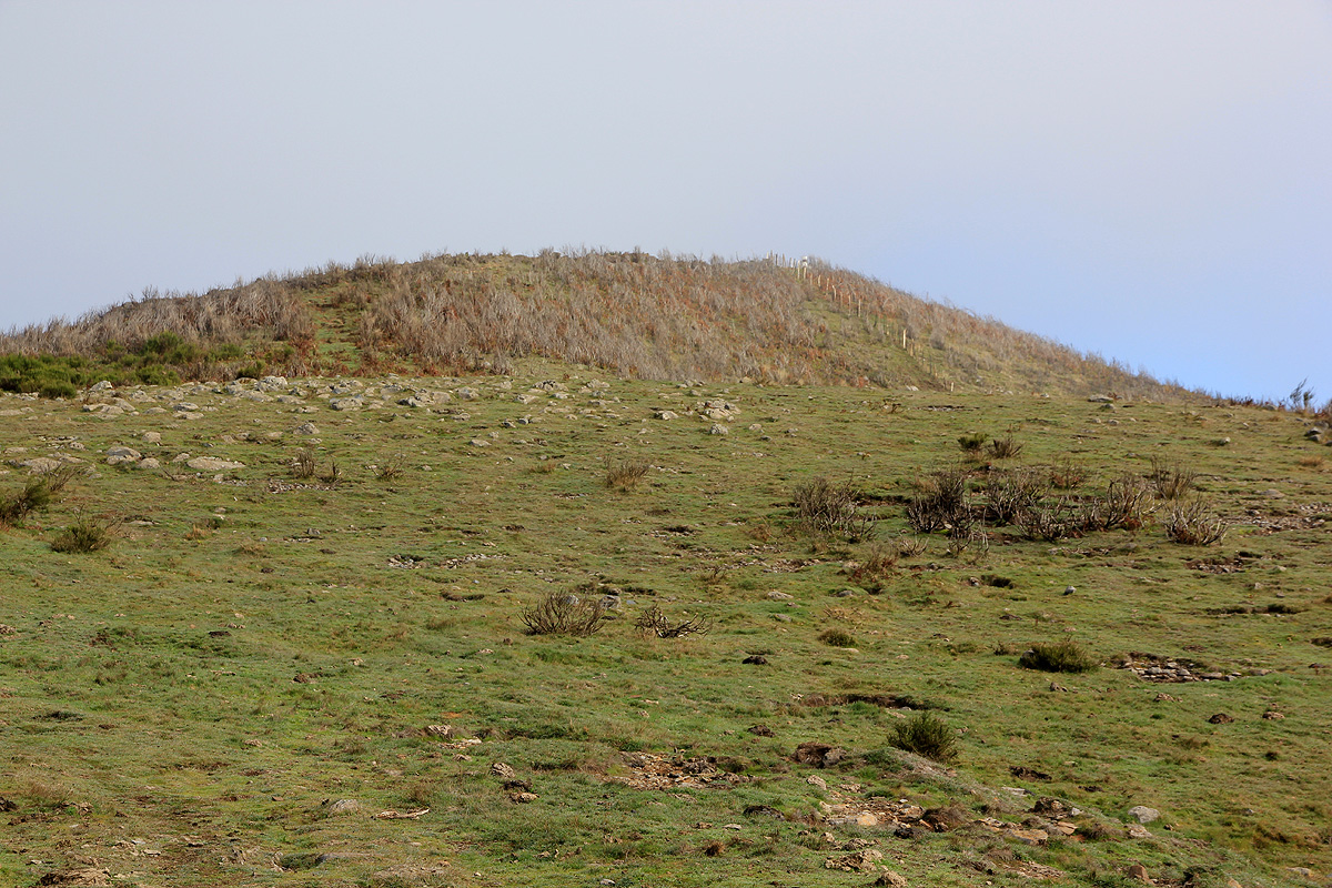
Follow the big trail from here the last
few meter to the top.
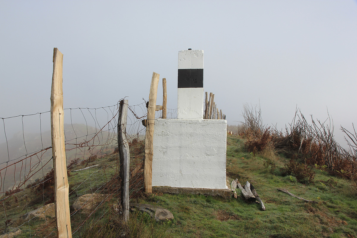
The top has a big white marker and a fence running right
through.
Comments:
I started out at 0935 and immediately wondered if I should take the left fork or
go straight ahead. I decided to go left (big mistake, see above!), this route took
me into a narrow gorge with no trail, cows in the sloping hill and nasty brush further uphill.
I struggled uphill and eventually ran into the farmers road on the broad slope higher up.
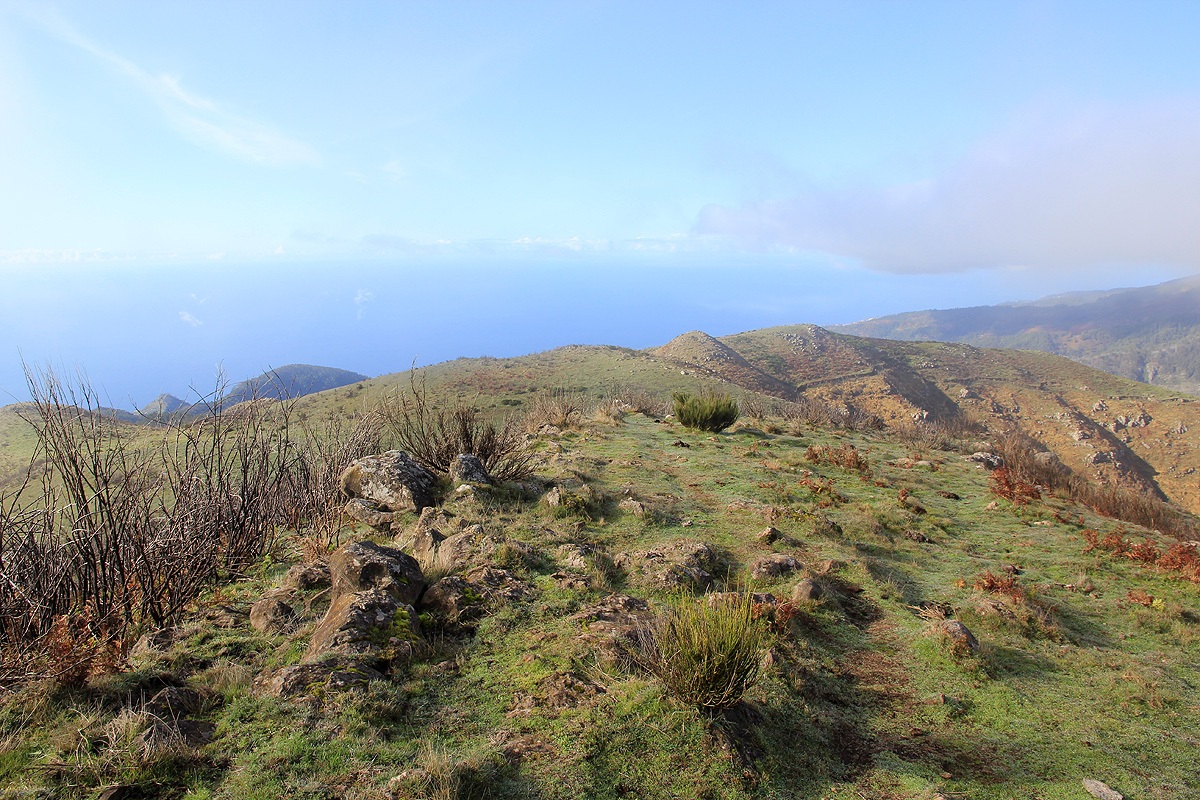
The hill was engulfed in fog and visibility was poor. I first climbed a false summit, then yet
another false top, before converging on the proper and highest of the local hills.
Arriving at 1030, this was still a short hike.
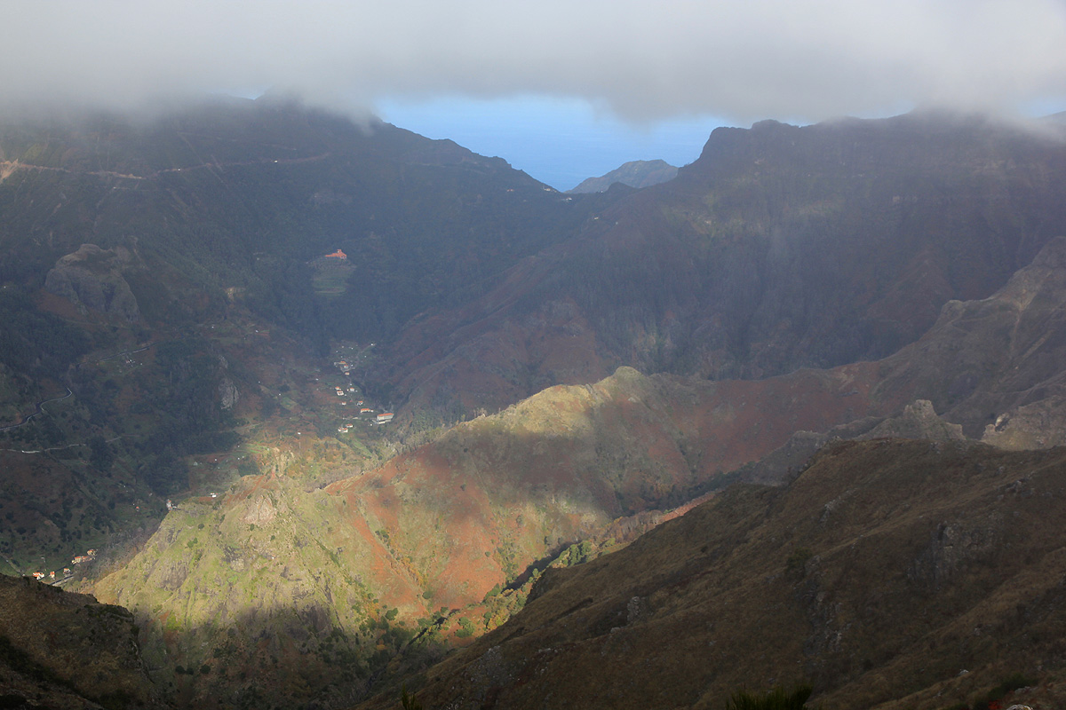
The weather gradually improved and I got a nice
view straight across to the Encumeada col, the
main break in the east-west ridge of the island.
I followed the farmers road all the way back down verifying that I should have started out
with the other possibility - straight ahead from where I parked. I was back at my car by 1120.