Location: North 60:30.577, East 006:00.085 (GPS at the summit)
Hordaland, Norway
Difficulty: YDS class 2
Climbed October 8. 2011
Information:
How to get there:
Drive E-16 from Bergen towards Voss. Turn right at Dale and take what used to be E-16 up the
narrow and quite spectacular road to Bergsdalen. Drive by lake Bergsvatnet on your right hand side and
watch for a small road going right as you have lake Vetlevatnet on your right side.
There is an easy to see sign saying "Høgabu". Park at the small turnout on the left side of
the road, this is the trailhead, location N60:32.682, E006:01.952, elevation about 535 meter.
Route description:
Cross the road and follow the small road signed for Høgabu. This route will take you across a bridge,
then across a second bridge, before the road gives way to a wide trail that climbs uphill on the left side
of the river. Just about when this trail levels off before it heads slightly downhill to lake Moavatnet, leave the trail
going left, and hike more steeply uphill to reach the ridge Moanovi. Here, you will locate another (small) trail that
runs south-west, later south as it climbs
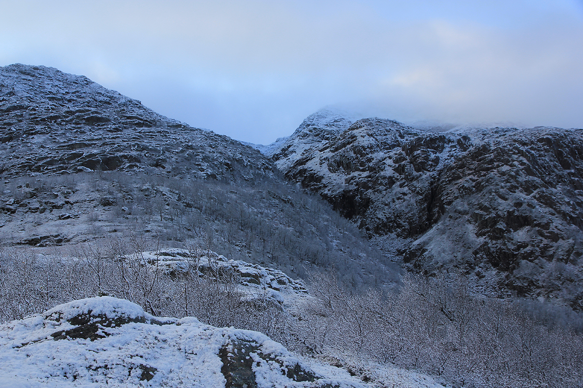
on the east side of
the steep gorge Moagjelet. Follow this trail until
you reach a small pond in the col between Storliknausen and Kjerringafjellet.
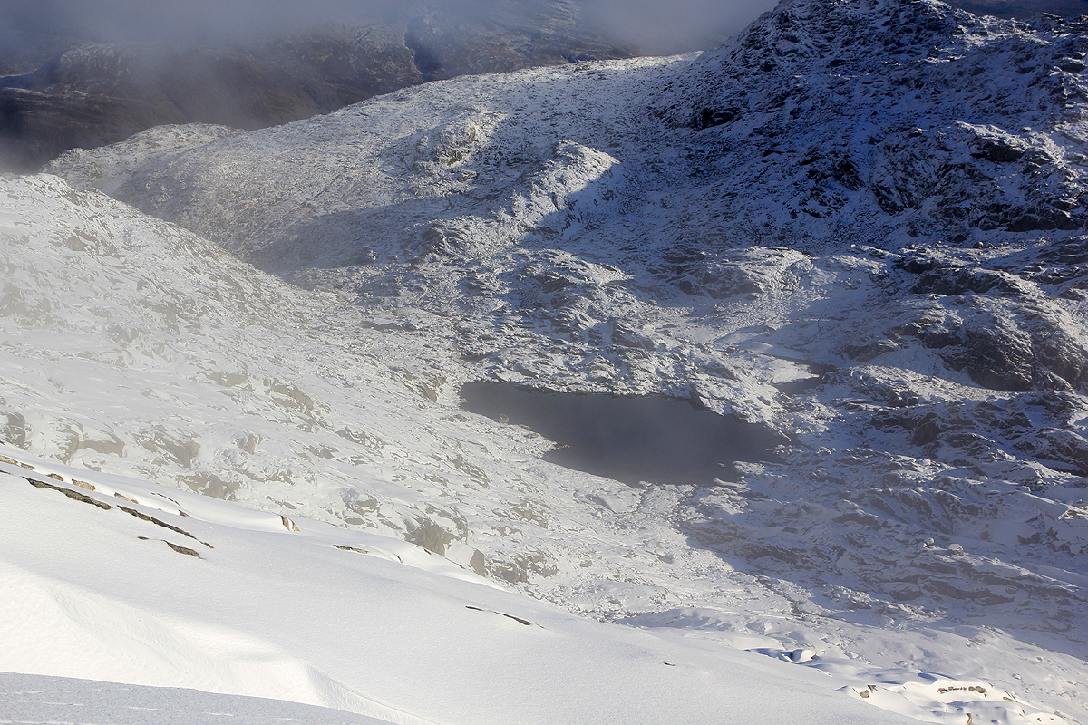
From here, climb along the small creek and go on the left side
of the small lake at elevation 930m (right side on the picture). Continue up the
ridge in front of you.
Comments:
I had agreed to give a talk about mountaineering at the Alexander Grieg hut in Bergsdalen on Saturday evening.
The weatherforecast promised sunshine and it was clear that I should do a hike before dinner.
I drove from Bergen around 0700 and started hiking at 0920.
The weather was still misty with fog drifing around.
The hike was nice and I arrived at the summit by 1050.
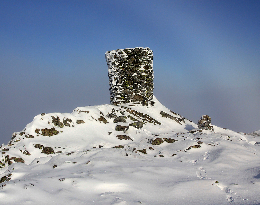
This summit had a very nice cairn, the name Storliknausen
is in fact a bit misleading. Knaus means insignificant rocky "hump", while this mountain has a prominence exceeding
400 meter. I rested and had some chocolate, hoping that the clouds/fog would go away and give me a complete view
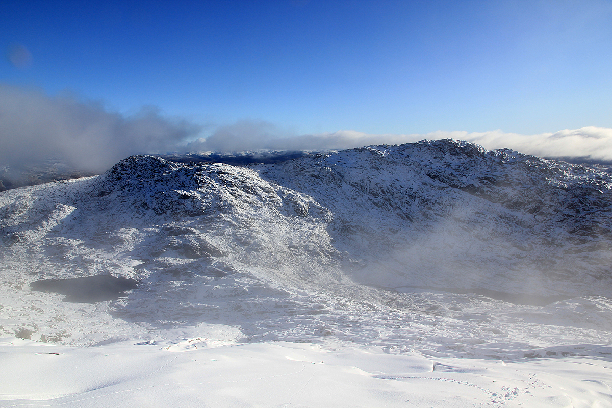
of the surroundings. No such luck, and I descended around 1110. As I descended, the fog finally cleared and I got
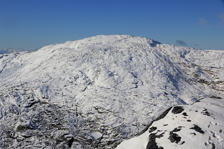
a nice view straight across to Kjerringafjellet.
This peak was included in my plan for the day and I hoped it would
offer a nice 360 degree view to compensate for the poor visibility from Storliknausen.
Thus, this story continues there.