How to get there:
This peak is most often climbed in summer from the Sørfjorden (east) side. This report, however,
describes a ski ascent from the west side.
First, travel to Jondal by ferry from Tørvikbygd. From Jondal, drive north to locate a forest/mountain
road that serves Grimestølen. This road forks right south-east of the mountain Samlen at location
N60.35606, E6.40429. This road may serve as a tollroad when open in the summer. In April (2024) the upper
part of this road was still under a snow cover and the road was closed with a locked gate near the
turnoff. There is parking available just after turning off the main road. This is the winter/spring trailhead.
The elevation here is near 260 meter.
Route description:
There are several possibilities. The shortest route from the Jondal side is likely from the west side of
Tostølsvatnet to Kvanngrøvatnet following terrain that is less than 30 degrees steep. From here,
one may continue towards Solnuten while staying (mostly) in terrain that is less than 30 degrees steep.
We wanted to also visit Ruklehaugnuten, a possible route there is to first
ski to a location somewhat north of lake Tostølsvatnet, then ascend directly towards this summit. An
alternative is to pick a route more north, near Vatnasetnuten. See the report on Ruklehaugnuten.
From Ruklehaugnuten, descend to the saddle south of lake 1132m, then ascend a about 120 vertical meter until
it is easy to curve right in order to reach the small lake just west of Jåstadrundenuten (1370m).
From here, ascend the slopes just west of Jåstadnuten to reach the main crest north of Vardanuten (1506m).
Vardanuten can be ascended by skiing pretty high on its west (right) side.
Next, continue downhill to the saddle north of lake 1429, located directly east of Solnuten. Ascend the ridge and head
uphill on the gentle slope north of Solnuten to a saddle. Continue left until the terrain gets steeper close below
the summit. Normally, one would prefer to continue on foot the very last section to the summit. Depending on
conditions, crampons may be nice here. The final few meter are again on easier terrain.
Comments:
My friend Harald and I had agreed to use the excellent forecast for Sunday to do a
nice skitrip on the Folgefonnen penisula. Solnuten was the obvious goal located north of
the glacier. The more minor Ruklehaugnuten seemed to be only a small detour and therefore
also included in the plan.
It was clear that this would be a pretty big day, we agreed to catch the first ferry across
to Jondal. I then needed to leave home at 0600 sharp, first going across town to
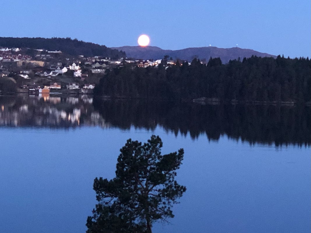
pick up Harald. The moon was almost full and
about to set when I left.
The early morning drive went just fine and we were at the ferry about 10
minutes before it departed.
The ferry plus the drive north to the forest road took almost an hour and we then quickly discovered
that the forest road was still winter closed. A local farmer happened to be there with his tractor about
to drive half-way up the road.
We parked where the road started and prepared for the road walk. Then,
unexpectedly, the farmer came back to us asking if we would like a ride. Very nice indeed, we immediately
accepted then realized that the only space on the tractor would be in the tractor bucket. This worked
ok, but we both had cold fingers from holding on to the bucket.
A small tilt would have helped keep us
stay in the bucket as the tractor climbed the steep forest road.
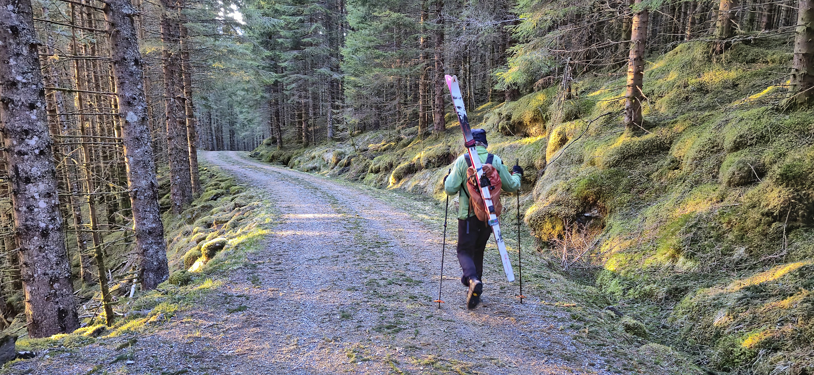
We next walked together with the farmer, the second half of the forest road, still largely covered
by snow. He was in pretty good shape, told me that he was 78 years old and that he had been
up at his mountain farm 31 times last year.
From the end of the road, we still needed to carry the skis slightly higher before finding
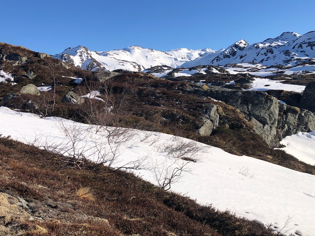
patches of snow that could be skied.
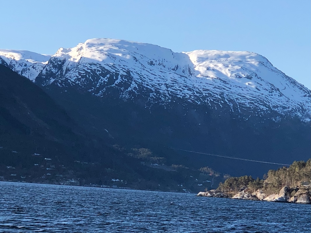
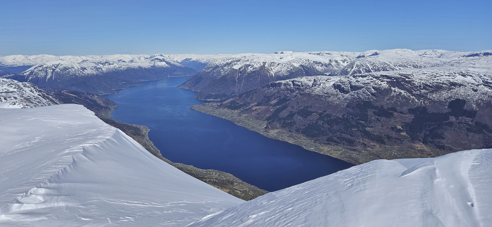
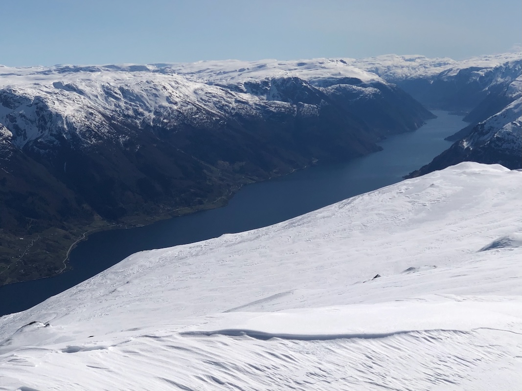
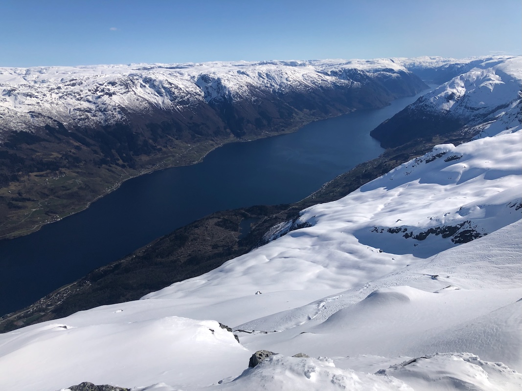
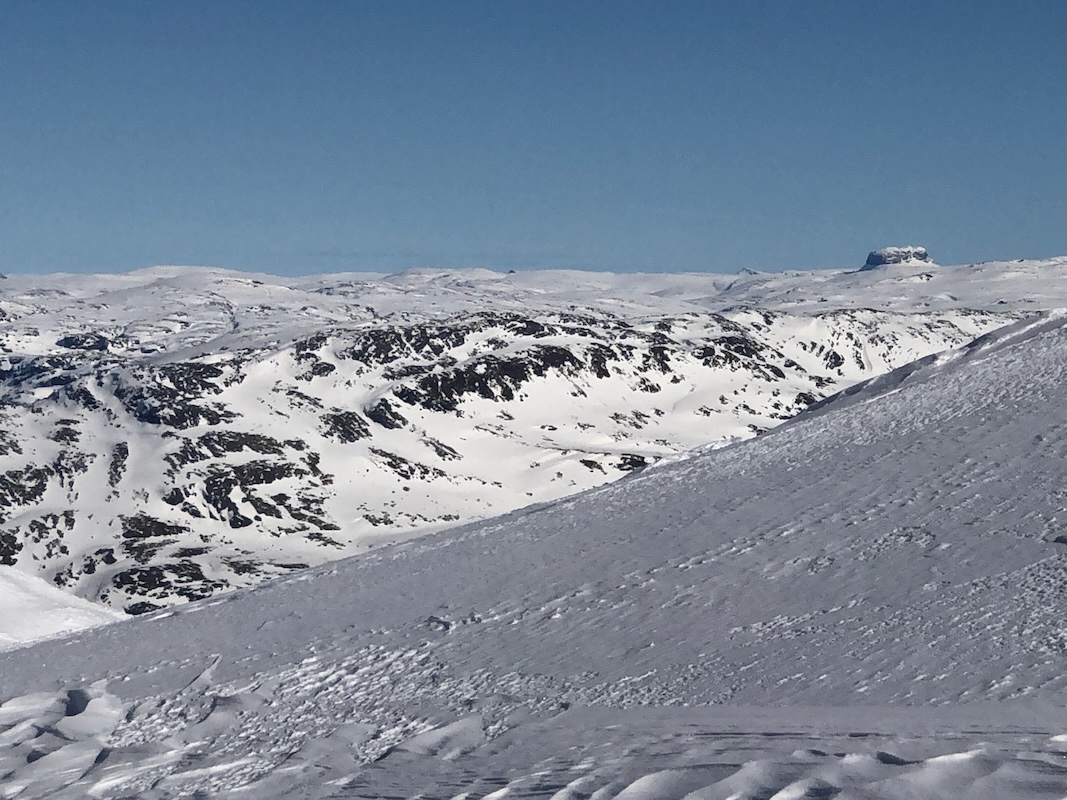
The day was just as nice as forecasted, the view
west to the Hardangerfjord equally good.
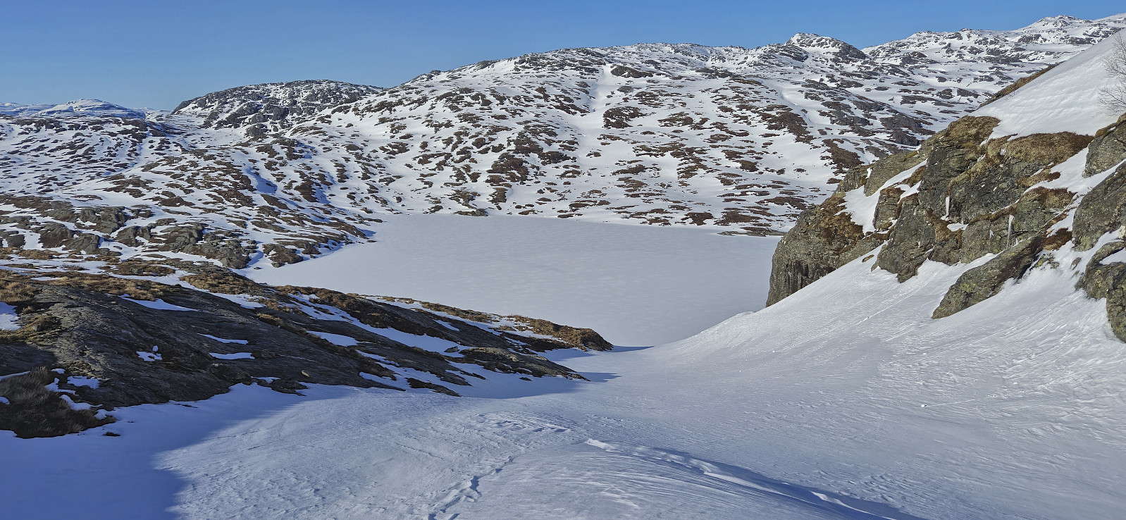
We ended up taking a fairly direct route towards the
slopes above (north) Tostølsvatnet.
From there, a long but easy uphill got us to the summit of Ruklehaugnuten. However, while resting there, we had
already been on the trip 4 hours. It bacame clear to me that this trip would be a longer
trip than planned.
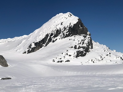
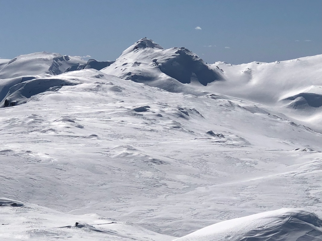
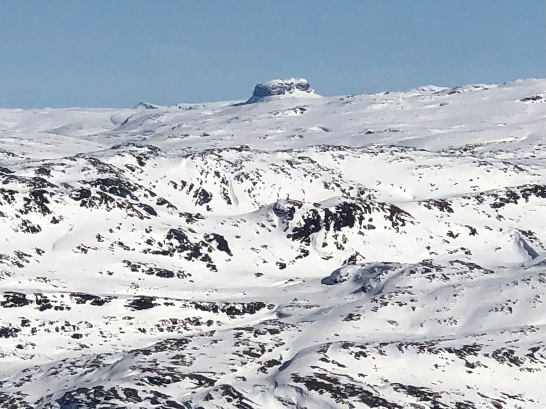
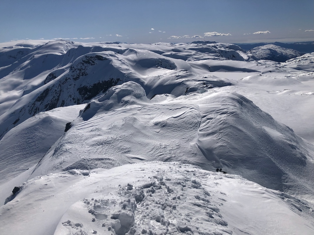
We continued skiing, and the distinct Vardanuten came into view.
Our goal, Solnuten also visible,
the route there running on top of the connecting ridge.
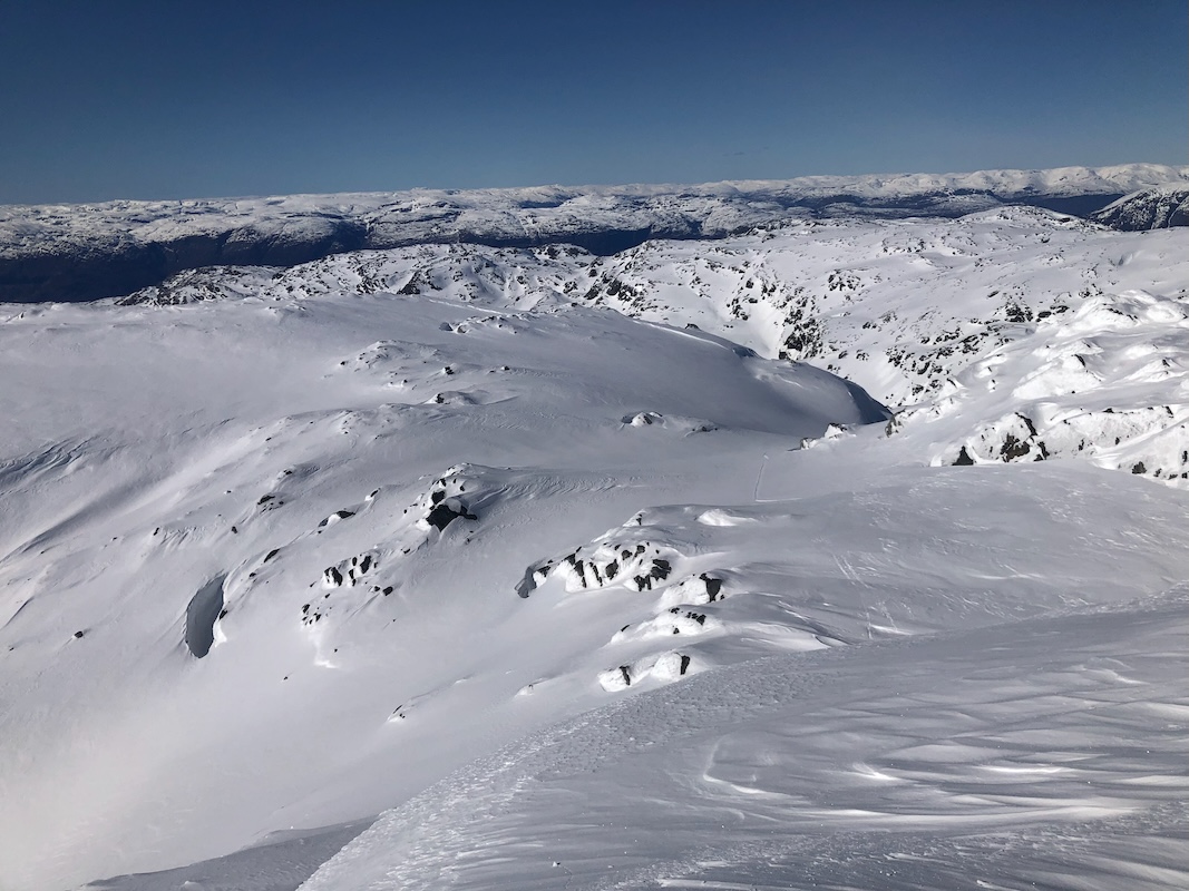
We needed to pass on the right hand
side, but pretty high on the peak. We could see several footprints in the snow. Previous skiers had
observed that the terrain was challenging and decided to continue on foot.
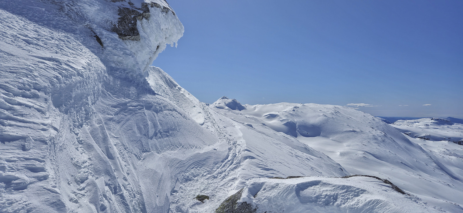
The view back north towards the Hardanger bridge is very nice in this area.
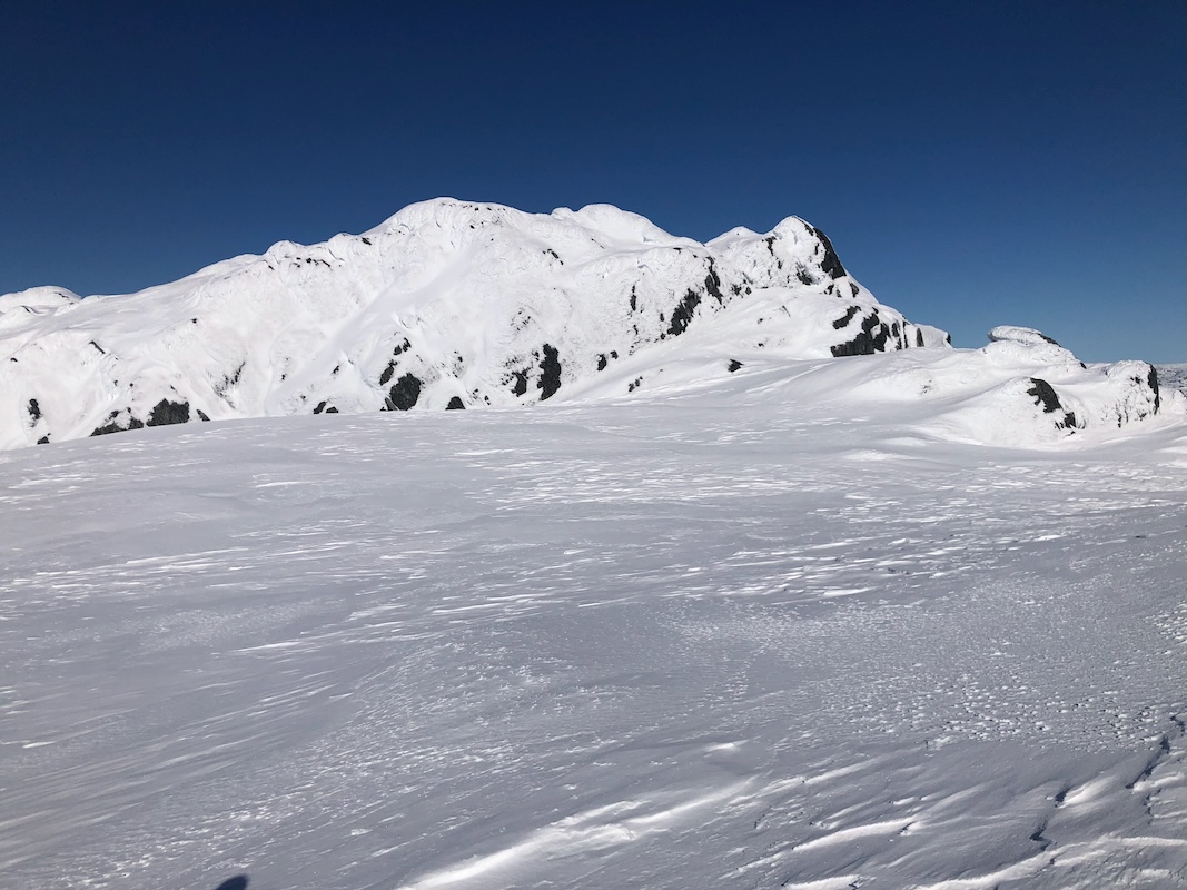
We skied across this summit,
but needed to carry our skis a short, steepish downhill section. The main reason was too many cliffs
without snow. The snow had a hard, crust surface here and Harald slipped and took a slide. This got him
down, the location was safe and no big harm could have happened. I still needed time to get down without
such a mishap.
The final approach to Solnuten again provided good skiing.
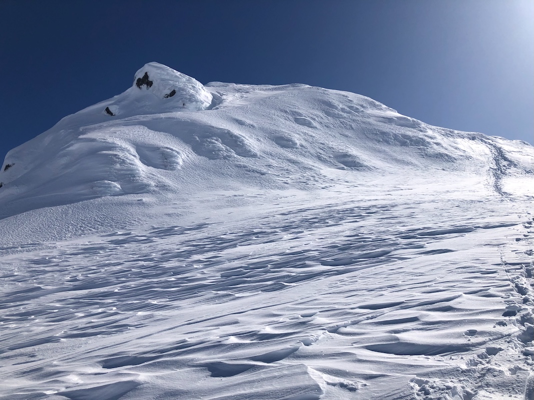
Finally, we were at the base of the summit area.
The icy crust returned. Ascent by foot was the only option, I certainly would have liked to bring my crampons.
The snow was actually better in the short but steepest section.
With care, we were able to make small
dents in the snow, big enough to provide fairly secure steps.
I reached the summit at
1600 with Harald joining me shortly after.
My first action was to text my wife Heidi, it had taken us 7 hours to reach this summit. It was clear
that it would be a long day and return to Bergen after normal time for dinner. The view was superb, see the
video posted below. We left
around 1610. We had decided to attempt a more direct line back down to lake Tostøsvatnet. This route was
very nice until we arrived at location 60.3158, 6.5071.
We needed to go west here and a cliffband was blocking
progress. We located a snow chute that would provide easy descent with crampons. I suggested that Harald
check it, and if possible make good foot-steps down. As I was putting my skis on my backpack a swosh sound
reached me. Harald had slipped and then slid (fast) all the way down. Not good. Such slides are fast and
you cannot control them. Luckily, he did not hit any of the rocks along the chute. Obviously, I could not
descend here. I tried to downclimb the snow-free area right next to the chute, but cliffs kept blocking
a safe way down. Finally, Harald
spotted a possible way from below and I got down some (YDS) class 3
terrain.
What remained was a final, steep ski descent.
No avalanche danger here, good since the slopes exceeded
30 degrees with quite some margin. Finally back down on the lake.
One more unforeseen issue, we skied down the gentle vally below the lake aiming for a line that would
join our route of ascent. Limited snow made us follow some long patches of snow.
However, the river from this lake to lake Viddalsvatnet below could not be crossed.
We were to far down to ski back up to the upper lake. Our only option was to cross lake Viddalsvatnet, then ascend
from there. A final, steepish climb, about 130 vertical meter was not good for overall team spirit. Finally, back at
the top of the road at 2015.
Then a 40 minute walk back down to the car. We had adequate time to catch
the 2130 ferry. I dropped Harald at his place north of Bergen and made it home at 2345.
Many thanks to Harald for good company.Quite a few of the pictures in this report is also credit to him.