Location: North 35.31963, East 033.16084 (GPS at the summit)
Difficulty: (YDS) class 1.
Climbed December 14. 2012.
Information:
How to get there:
The best and nicest way to get to Selvili Tepe is to cross
into the northern part of
Cyprus through the western side of Nicosia (called Agios Dometios/Kermia/Metehan), then continue along the motorway directly
north towards Kyrenia. Note that one must bring a passport. If travelling with a rental car, one must buy insurance, minimal
3 days, this cost 20 Euro and is quickly done at the border crossing.
As the road makes a distinct bend to the right in order to follow the valley that cuts across the mountains, pay attention when
passing the highest point. You shall make a left turn fairly soon. More precisely, turn left at location
N35.30288, E033.29157, elevation about 365 meter. There are signs for St. Hilarion Castle. Measure from here.
At kilometer 3.5 you pass St. Hilarion Castle on your right. At kilometer 13.2, you cross a col where a (pretty bad)
dirt road connects to the village below on the south side of the range. Around kilometer 17.0, you will see a side road
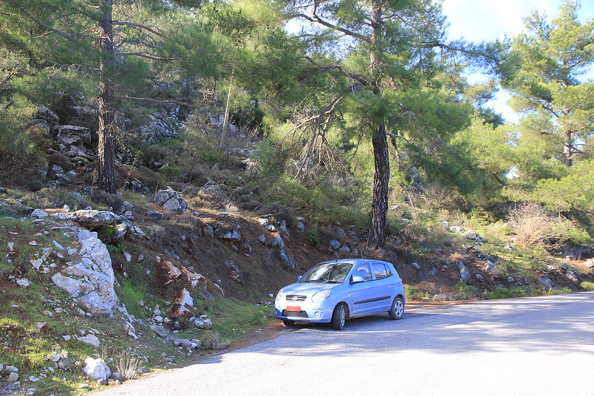
that goes left and uphill. Find parking at kilometer 17.1 on
your left hand side. This location is
N35.32024, E033.16771, elevation about 880 meter.
Route description:
Walk back to the road fork at location N35.31846, E033.16708.
There may be differnt strategies for climbing this peak. You may want to climb it across terrain and try to stay out of
anybodys sight. Another option is to just walk the road and gamble that nobody travels when you are there. This option is
described here.
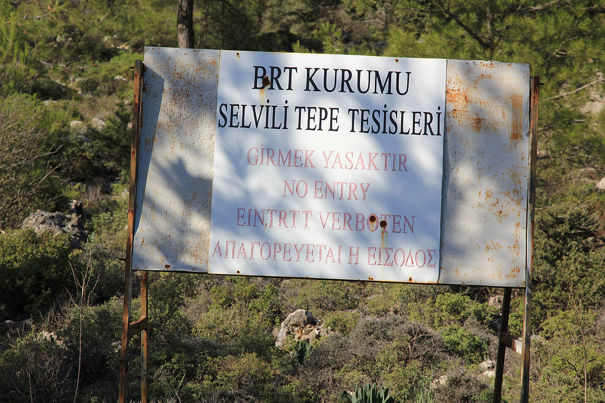
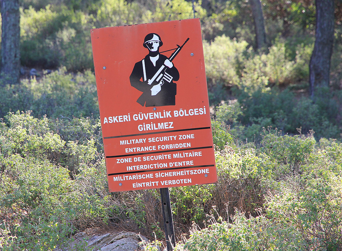
Ignore the sign at the bottom of the
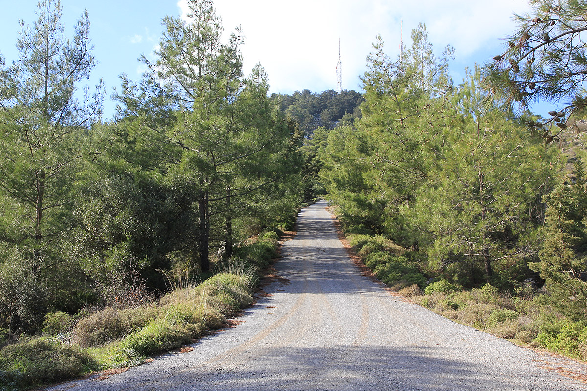
hill (pretend you did not notice it!). Walk up the road,
first straight uphill, then a big
bend left that arcs around towards the antennas that are placed lower on the slope. The road turns more left again and eventually
curves left in order to gain the summit plateau. There is a small white building on the left side of the road, this looks like a guard
house. The highest point is straight ahead on the right hand side of the road, on top of a local pile of rocks with a few trees.
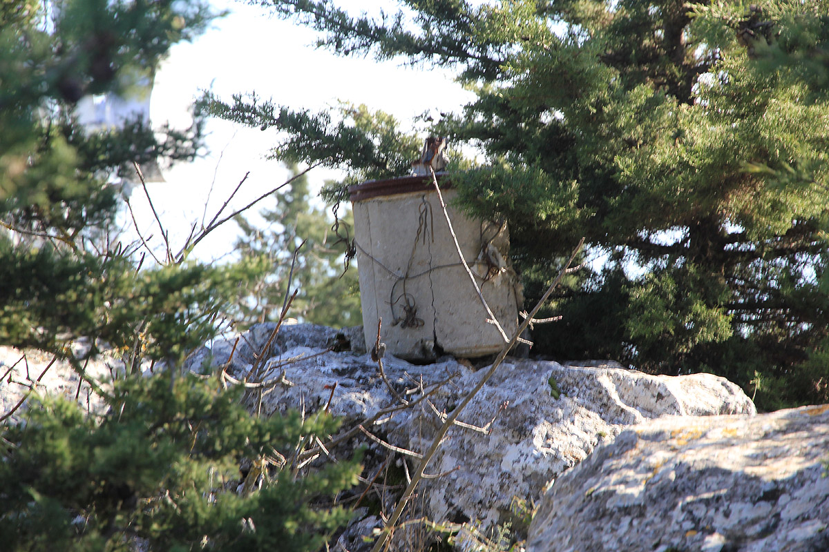
There is a cylindrical marker placed on the highest rock.
Return (undetected!) the same way.
Comments:
Here is a Google map documenting my hikes on Cyprus.
The next report from this trip is the visit to St. Hilarion.
I left Limassol in the morning and drove directly to Nicosia on motorway A1. Going straight into town on
the main road, then staying left whenever a big road sort of continued towards the north got me to the
border crossing. The crossing was quite fast, perhaps 5 minutes to get the insurance papers. As soon as I was
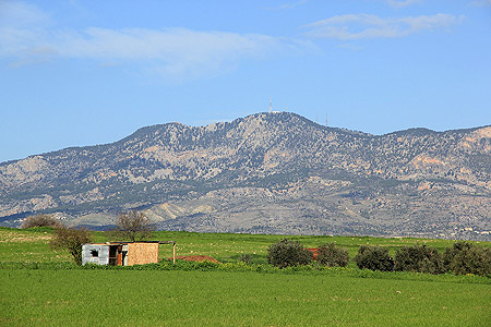
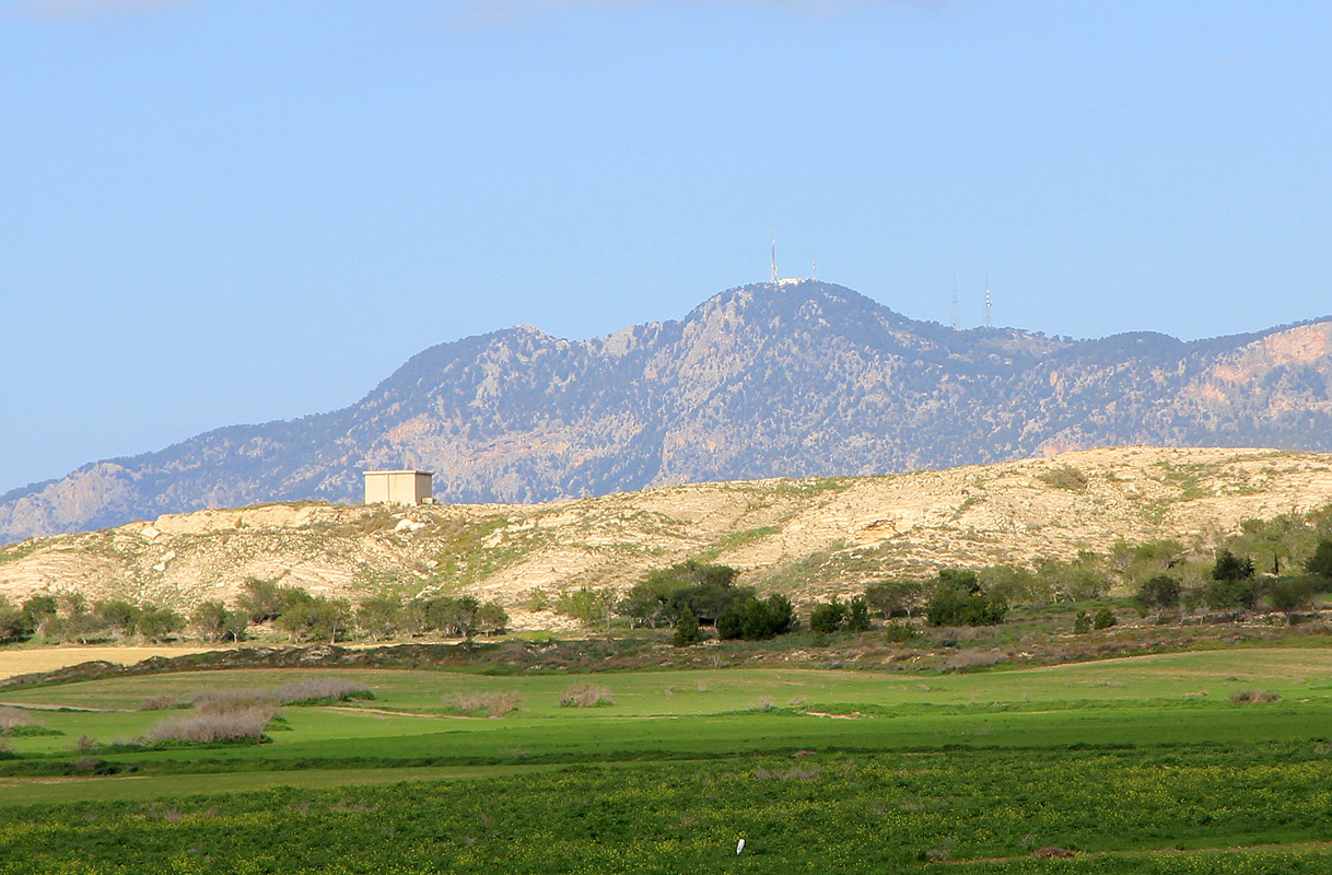
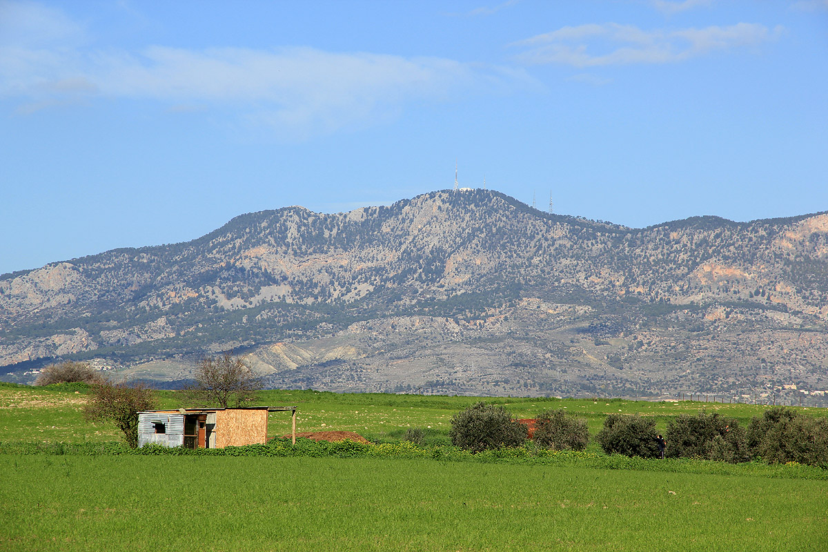
outside Nicosia in the wide flat valley, my target mountain was easy to pick out.
I drove west in the middle of the wide, flat valley and navigated via smaller roads to a small village just below
the mountains (south side). From here, I took a smaller road that ascended the steepish slope a bit east of the
main peak. This road turned into dirt and then appeared more or less washed out. Pretty bad indeed and I was perhaps
a bit lucky to coach my little rental car up to the main crest. I was quite relieved to see that the road
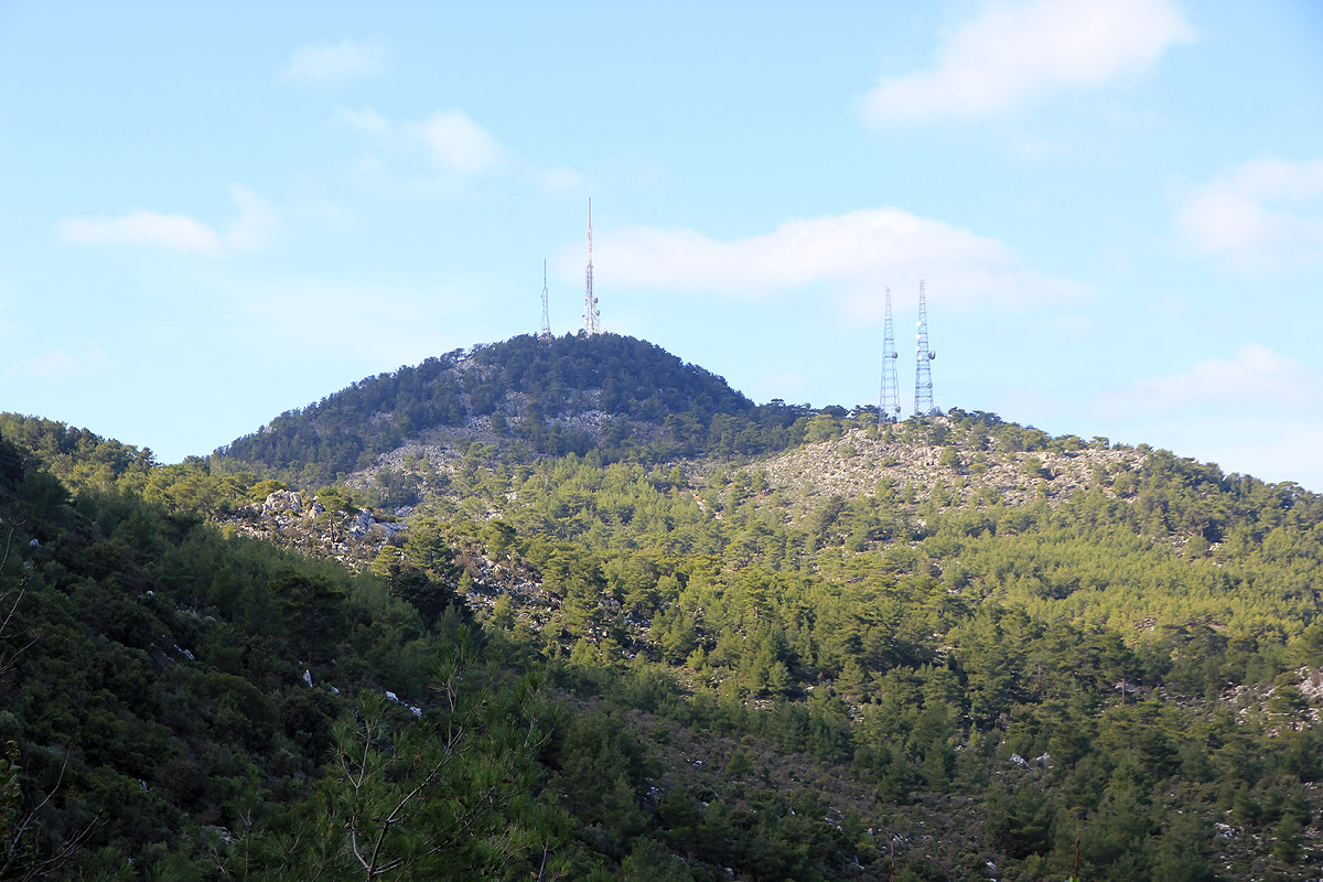
running along the skyline was paved and in good condition. Turning west (left), I soon got a closer view of
Selvili Tepe a bit further west.
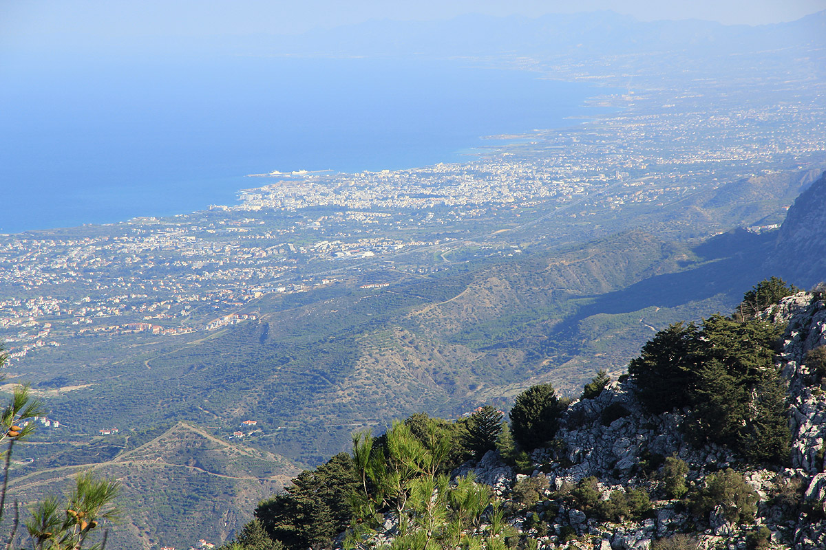
The north side of these mountains is also quite steep, the view north is very nice.
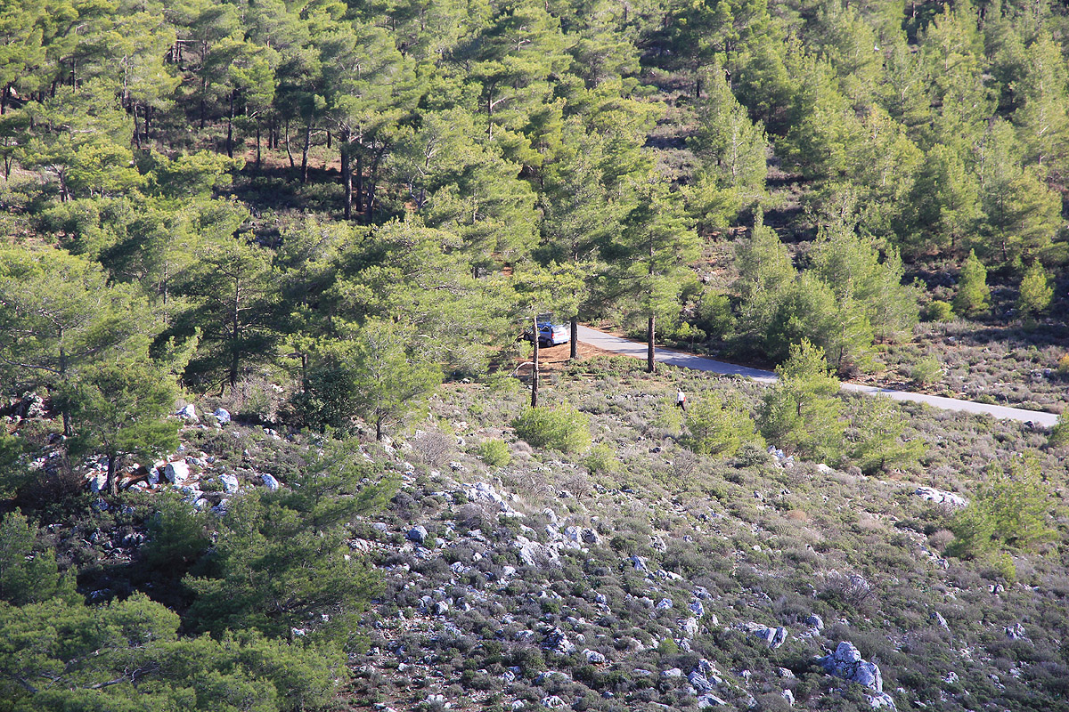
I parked at the first turnout west of the road fork. Leaving the car at 1230, I walked back
to the road fork and headed directly uphill. The posted sign had Greek letters on top and one
could argue that the text lower down had been ignored? I walked uphill without seeing anybody.
Near the top, as the road curved left, a small white building with big glass windows stood on the
left side of the road. This looked like some kind of guard house, the door was left wide open and nobody
could be seen. Further ahead, near one of the big antennas, I now spotted 2 or possibly 3 cars. Obviously,
there were people here somewhere. I noticed that the local summit on my immediate right indeed seemed to
be the highest point. Good news! I could scramble up these rocks from the north, out of sight from the
somewhat lower building and antenna area further south. More good news, as I came to the top, I noted a marker, some kind
of trig. point placed on the highest point. I took a quick GPS reading and a photo of the marker, before
returning back down the same way as I had ascended.
A quick walk back down the road to the main road and
back to my car. Mission completed without any unpleasant incidents.
I was now pretty fed up with military installations and illegal climbs, I really wanted to find a peak without
any man made structures that I could climb just enjoying the good weather and
the fine view down on the north
coast of Cyprus. As I drove further east along this skyline drive,
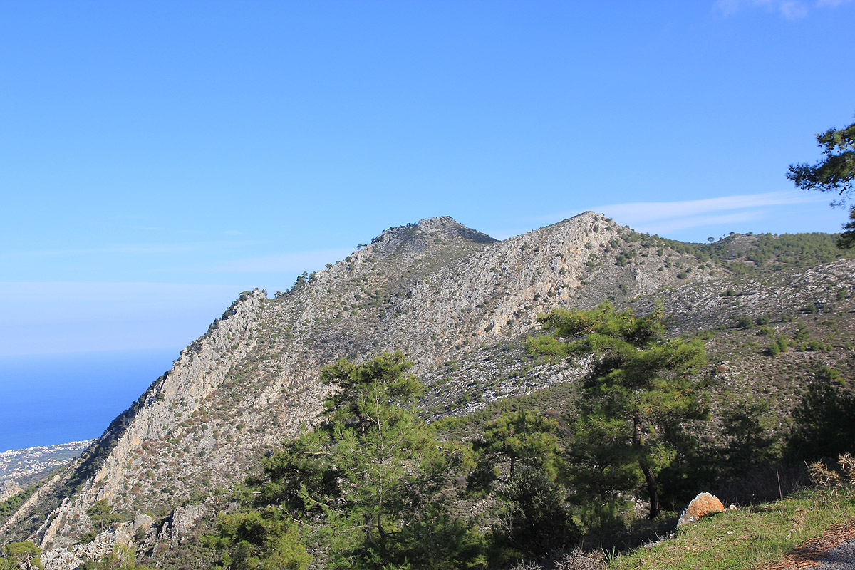
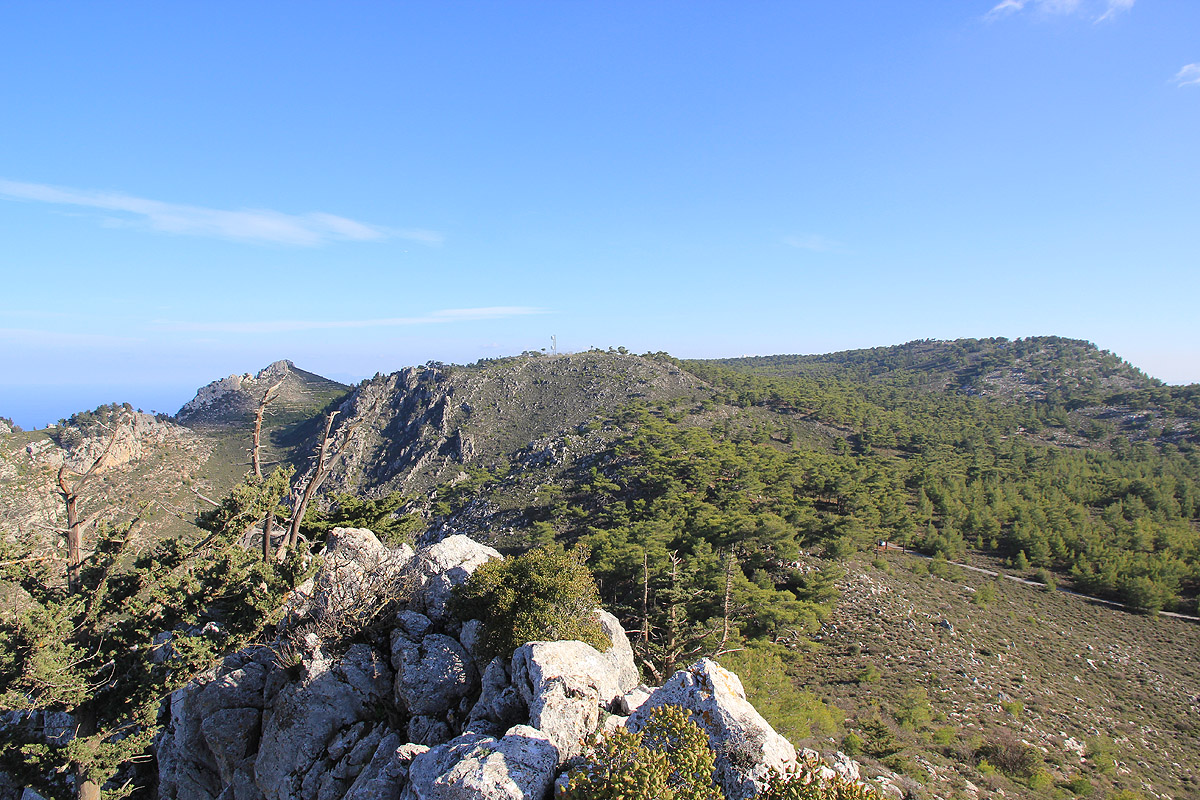
a pretty distinct and sharp looking peak
appeared up front. It had no signs of man made structures and seemed to offer a good view point for the north coast.
I crossed a saddle and determined that it would certainly have more than 100 meter of prominence. Shortly thereafter
I parked at a turnout and took off in the direction of the peak.
The going was easy and the distance short, however,
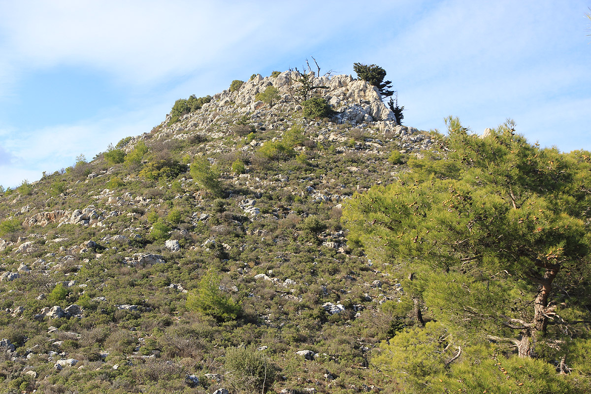
the summit ridge offered a good scramble on a fairly sharp set of rocks.
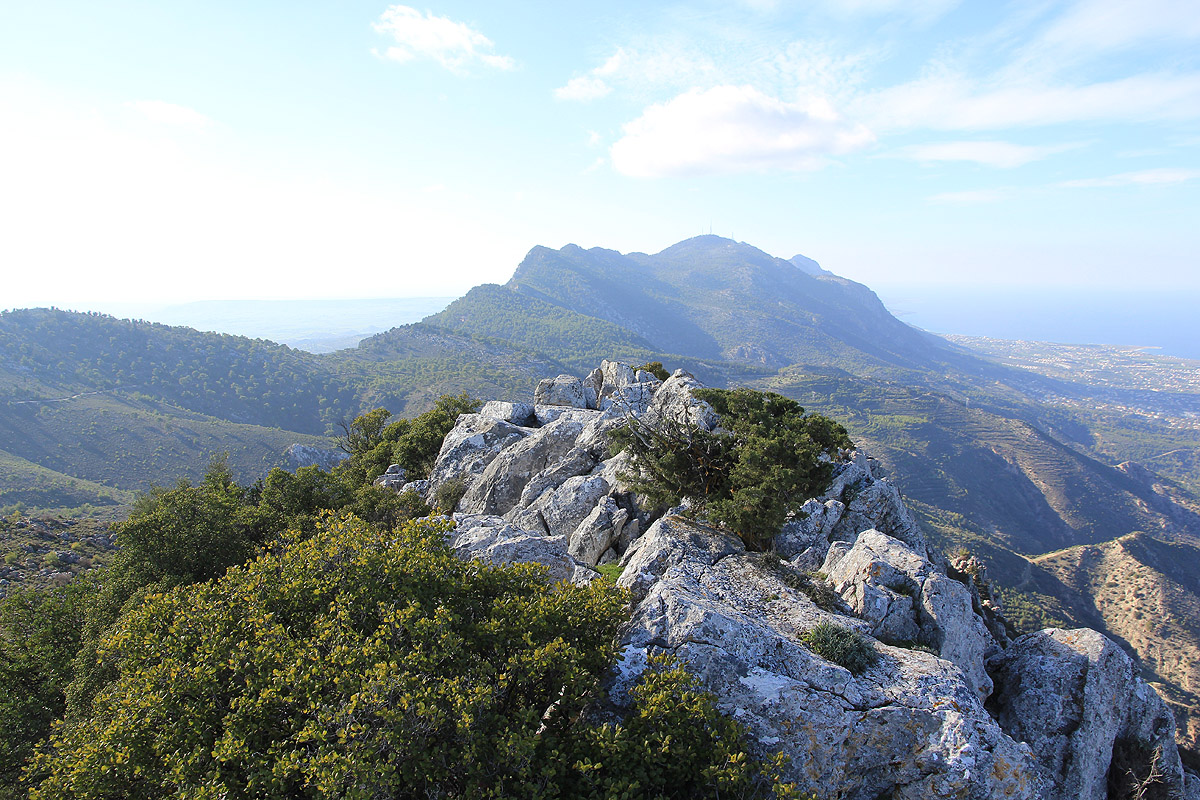
Once on the summit, I did notice that terrain further east would
likely be of equal or greater elevation. The bad news being that these locations again seemed to
have military related radars and antennas.
My summit measured 853 meter, the saddle I just had crossed was
159 meter lower. Returning to the car, I
drove onwards. The highest point on the road measured
831 meter, and yes the terrain further south looked slightly higher. A road led that way, but the signs
were pretty clear,
in fact a step up from the warning at Selvini Tepe.
I continued driving and came upon
the St. Hilarion Castle by complete accident. Finally a mountain
with undisputed prominence and a well defined summit.