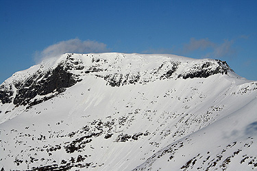
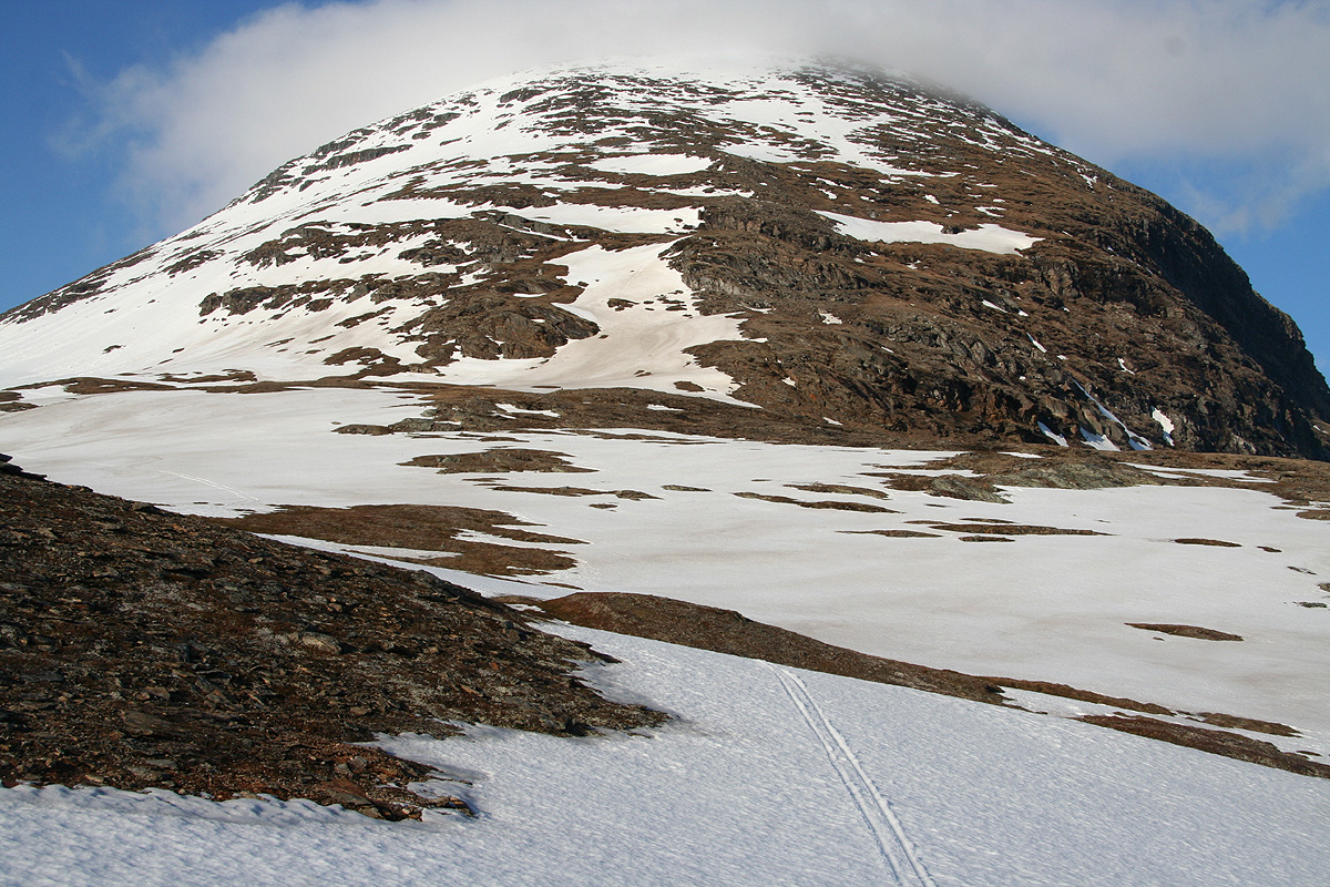
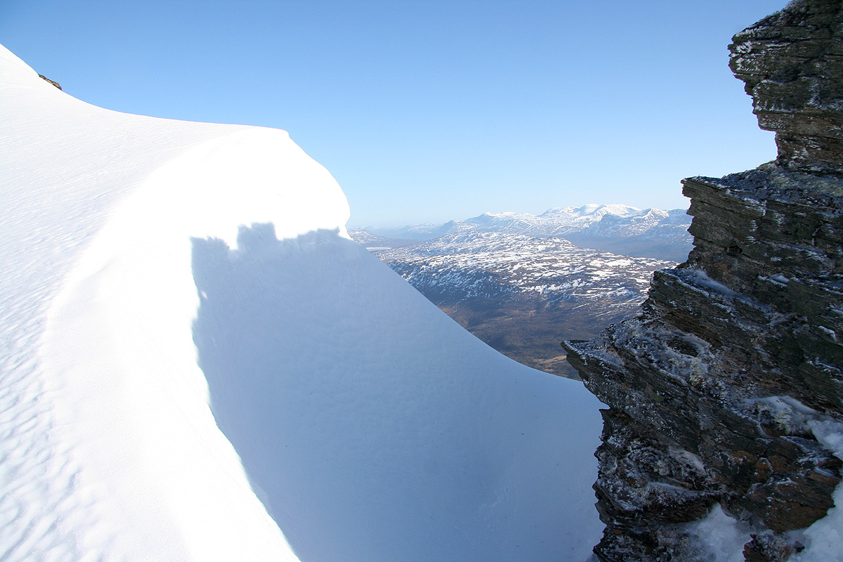
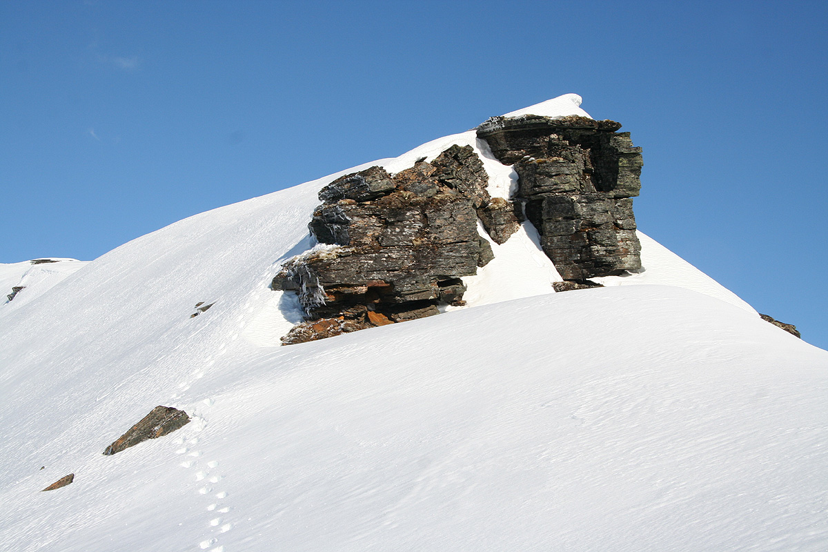
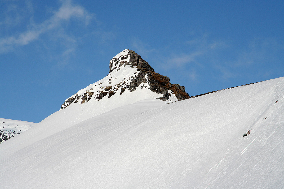
Rostafjellet

  • Rostafjellet
  • 1558 m.
  • Primary factor 728 m
  • Location: North 69:02.976, East 019:38.402 (GPS at the summit)
  • Difficulty: YDS class 2+
  • Subsidiary summit Rostakulen, 1274 m, location N69:02.737, E019:33.815, pf= 84 meter.
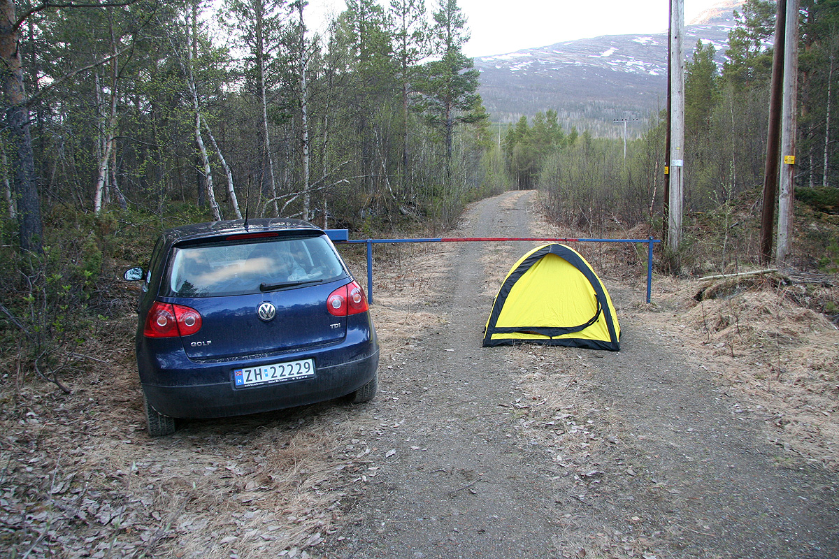
  • Climbed on June 2, 2008.

Information:

How to get there: Here is a quick summary of the peaks climbed during this T8 trip.
From Tromsø, take E-8 to Nordkjosbotn (where it meets E-6). Go north along E-6, 9 kilometer to Øvergård where Hwy. 87 goes right. Measure from this intersection. Drive 29.9 kilometer along Hwy. 87 to the intersection where a sign for Rostadalen points left. Take this road, cross the river and fork left at kilometer 30.1. Continue along this (quite nice) dirt road. You will see the big lake on your right and then locate Kongsvoldtunet on your left hand side. This is kilometer 33.9. This is a local farm museum, the entrance sign reads: "Målselv Bygdemuseum Kongsvoldtunet". This is the trailhead, location N69:01.562, E019:31.881, elevation 110 meter. Park off the road and in a way that does not disturbe the museum area.
Route description: Walk into the museum and locate the sign for Rostakulen between the first two buildings (on your right). This trail is marked with red paint (red T) as well as with small cairns. The trail climbs the hillside, then curves right as it gains the main ridge below the steeper section of Rostakulen that still towers above you.
In summer, follow the small cairns and the red marked trail as it zig-zags up this steeper section. In winter, evaluate the possibility for avalanches, then ski or hike (depending on the snow cover) up the slope. This slope is quite steep and may be tricky under unfavorable conditions. As you gain 1200 meter, the slope turns more gentle towards the top. One may contour on the right side in order to proceed without a visit to the Rostakulen cairn.
Rostakulen is connected with higher terrain via a ridge that drops slightly below 1200 meter at its lowest point. In summer, this ridge is completely straightforward, being quite wide. In winter, the ridge is still quite wide, however, near its lowest point the snow may have created formations that certainly call for extra care. Bypass the small cliff at the col on its left side, then climb back onto the broader ridge from the left side after passing the lowest point.
As you continue, the ridgeline up front is rugged and not very convenient in winter. Contour around on the right hand side until the slope on your left extends more smoothly to the horizon. Ascend this slope and as you get near the ridge, observe the steeper rocks further ahead. In winter, again by keeping a bit right, one can do an ascending traverse in order to gain the higher ground above. This slope is fairly steep and one should again evaluate the avalanche conditions. In summer, this slope can be climbed by easy scrambling.
You are now at the summit plateau area. This is a plateau glacier summit, almost flat and quite large in area. The highest rock point is marked with a cairn towards your left side as you advance towards the highest snow area. There are two areas separated by about 200 meter, that compete for being highest, when I visited the easternmost area was slightly higher, one could easily see across the west highpoint.
Comments: I climbed this peak solo after Åke had returned to Oslo the previous day. The forecast called for a clouds in the morning before the good weather should return in the afternoon. Therefore, I was in no hurry and spent the morning writing and enjoying a nice breakfast. My plan was to start the climb before the weather cleared, then enjoy near perfect conditions when arriving at the summit.
My map showed a trail heading up towards Rostakulen and a forest road going near and parallel. I decided to park where the forest road connected to the highway. I started out at 1045 and soon arrived at the end of the road. To find the nearby trail turned out to be hard. After a short search, I gave up and just continued uphill. It became clear on descending that the trail on my map does not exist any more, while a new trail has been established. The terrain was pretty good and the need for a trail was not important. I carried my skis since there was not even a trace of snow in the forest. Higher up, hiking got even easier and I soon reached the base of Rostakulen. Here, I met the first large patches of snow and the steeper slope above disappeared directly into the clouds. I started skiing, but there were more rocks and pretty steep sections. Higher up, I found myself stepping sidewise directly up a pretty steep slope.
The fog was pretty thick and I navigated carefully towards the more narrow saddle that I could not see. Skiing was awkward without visibility and I decided to leave them behind. The conditions were indeed a bit miserable, strong cross wind and no way to see what was ahead. Suddenly, there was a break in the clouds and I caught a glimpse of the terrain. It did not look inviting. The saddle looked narrow and it seemed to have a blocking rock slightly further onwards. I considered my future and I came close to calling it a day. Then I remembered that the drifting fog most likely made things look worse, thus I carefully proceeded.
The crossing went without any incidents and I was soon thereafter on a broad ridge underneath a rock summit. I climbed the ridge only to find out that proceeding along it would be more than difficult. The obvious route would be to walk on the fairly flat area below the ridge, then gain the elevation further onwards. I descended and continued my walk in the sometimes deep snow. This was the place where my pair of skis would have been useful. I turned a corner and ascended a gentle slope. Above it was a steeper snow slope that still looked pretty safe to ascend. I set out on a diagonally climbing traverse. Half way up, my right foot suddenly broke through pretty far. The movement caught me off balance and I fell outwards, but self arrested with my ice axe in a matter of about two meter. It would have been pretty safe to slide down this slope, however hard work to regain the elevation. I felt a slight pain in my right leg, the fall had caused my left crampon to hit my leg just below the knee. My pants had yet another torn section, the injury was minor, a few drops of blood from two spikes that had gone through my skin. I carefully proceeded on the same line and soon reached the horizon and more level ground.
The last section was almost flat and I quickly walked across to what looked like the highest point. Finally here. I turned on my GPS and my surprise was genuine when it informed me that I was 180 meter from the summit. Moreover, the elevation recorded was barely 1560 meter, far short of the summit elevation of 1590 meter. It seemed hard to believe, but I could do little but head across to the other summit. Just as I was at the lowest point between the two gentle domes, my GPS informed me that I had reached the 1590 summit. All wrong, I climbed the other summit and measured it to be slightly lower than the first top I visited. Going back there, I decided to do careful measurements here. Obviously, this mountain was significantly lower than what the map stated. Had the glacier melted about 30 meter? This seemed alarming, but unlikely. Just a blunder from the map production? Not very likely either, I decied to look into this upon returning. I realized that this peak had a prominence of only 1030 meter. If it was at least 30 meter lower, it would drop out of the exclusive list of 85 peaks in Norway with more than 1000 meter of prominence.
I took two measurements at each dome, it seemed clear that the east dome would be the highest. However, its elevation seemed to be slightly less than 1560 meter, quite a surprise. I spent more than 30 minutes on these measurements. How happy to be here in nice weather with good visibility. If the summit had been fogged in like Store Kågtind, I would likely have searched around in order to find non-existing higher ground. Until I receive more reliable information from the national map authority, I will assume that Rostafjellet is 1558 meter and that its prominence is 728 meter, its parent is Vassdalsfjellet which at 1587 meter takes the exclusive spot on the 1000 meter prominence list with a prominence of 1026 meter.
I reached the car at 2115, the trip had taken me 10.5 hours. It was a beautiful evening. I called Tromsø to see if I could get a hotelroom, the conference started the next day. They were fully booked. In some sense this was good news. I put up my tent and slept early. The next morning I drove to Tromsø.

Resources: