Roman Kosh
- Roman Kosh
- 1545 m
- Primary factor 1541 meter
- Location: North 44.61278, East 034.24278 (GPS at the summit)
- Crimea, Ukraine
- Difficulty: (YDS) class 1
- Climbed January 25. 2014.
|

|
Information:
How to get there:
The most reasonable point of reference is the well
known city of Yalta, well known for hosting the historical
Yalta conference in 1945. Yalta is well connected to the larger city
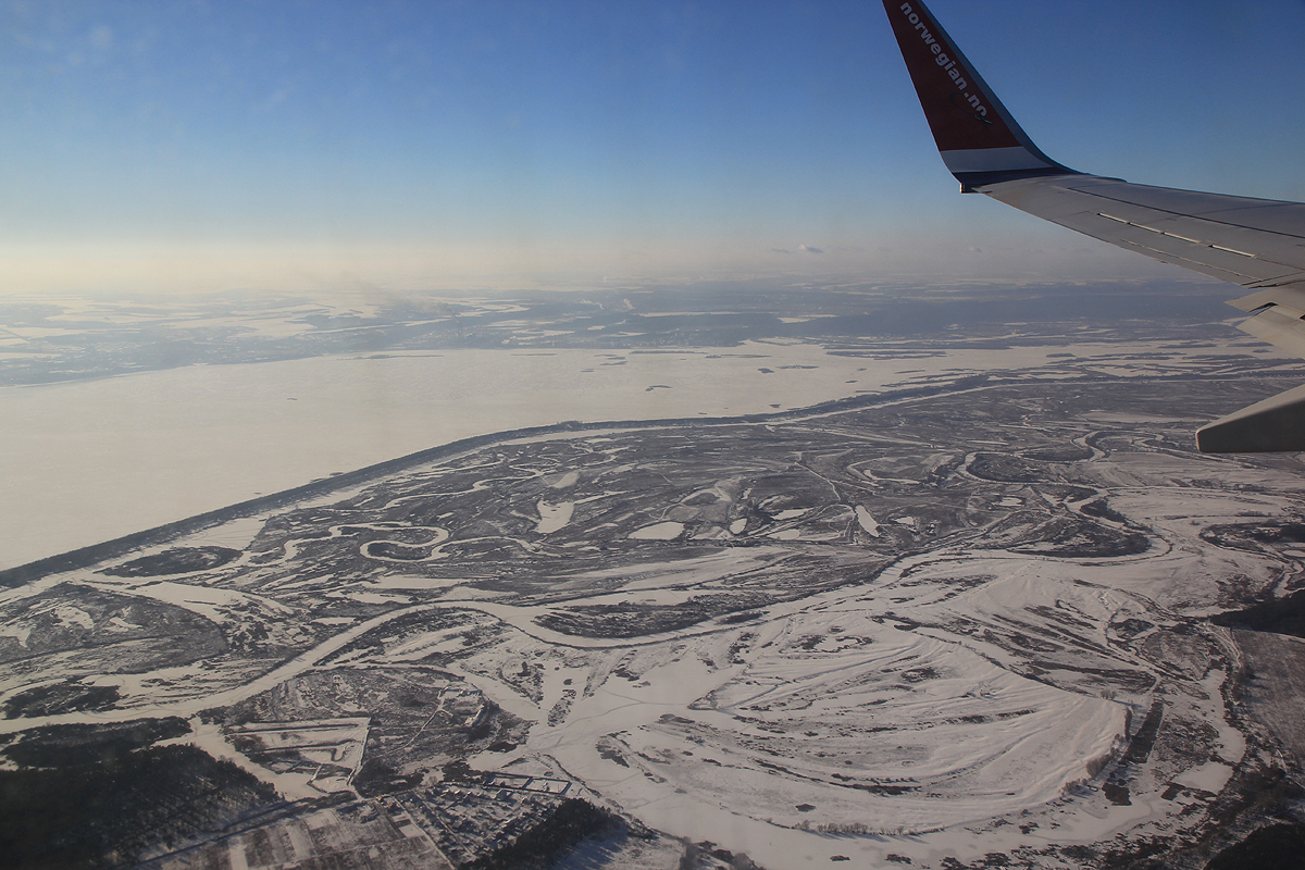
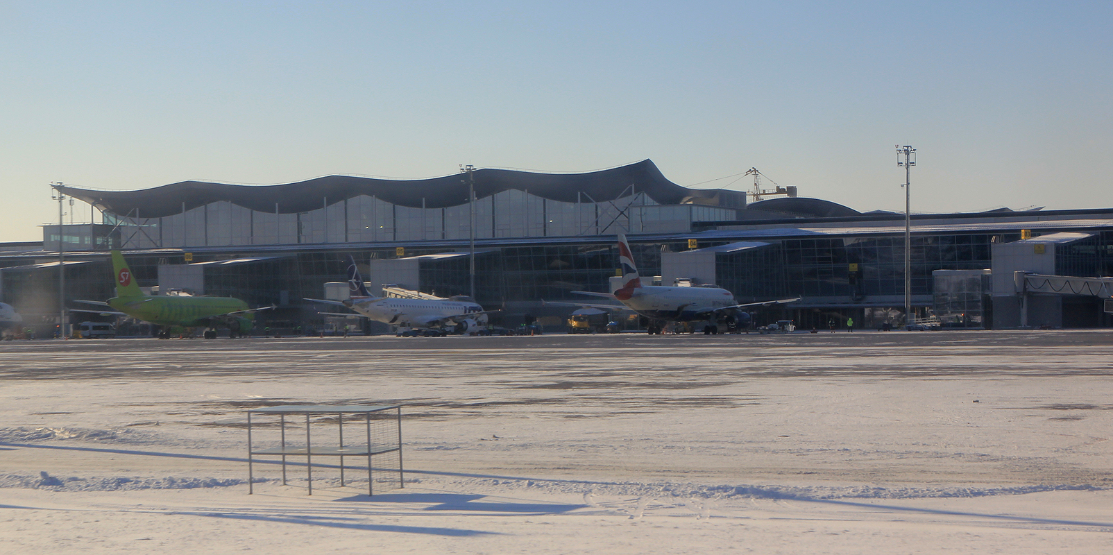
of Simferopol, this city has an international airport (north-west of the city) with connections to
some cities in Europe. From Simferopol, one travels about 100 kilometer
via Hwy. H05 and E-105 to Yalta, travel time is about 1:45.
From Yalta, travel 16 kilometer (back) in the direction of Simferopol. Consult the
map below for details. As you reach a hilltop, there is a large Shell gas station
off on your right hand side. Take the road that forks left just after the gas station.
Continue about 400 meter to location (N44.55996, E034.28811) where there is a new road
fork. Take the left fork again and follow the road uphill along visible gas pipes running
next to the road. You are now on the road from where to start walking. We had a car drop
us at location N44.56549, E034.28234, elevation about 350 meter, as the car could not make
it any higher due to new snow on the road.
Route description:
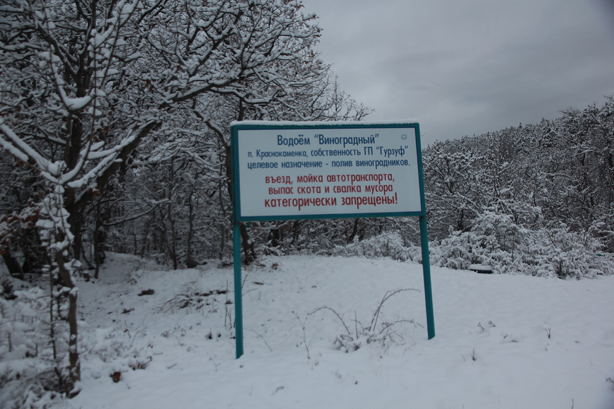
Continue a little further uphill along the road and locate the following sign.
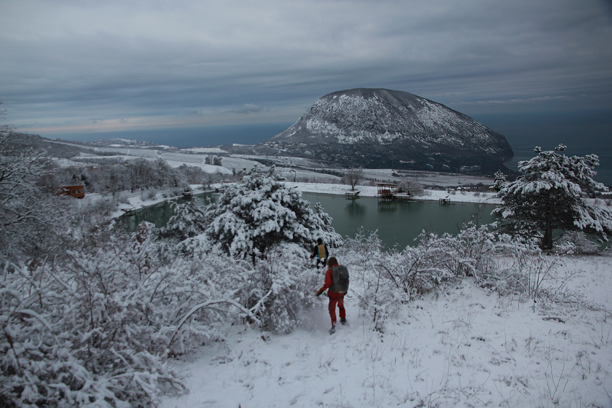
Turn left here and enter a path that will take you on the
upper side of a small pond, consult this map and zoom in on the route.
Just about above the middle of this small pond, turn uphill and
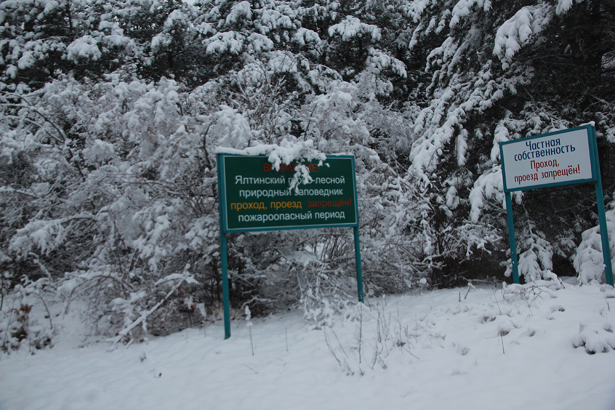
higher up, you will again enter a road. There are private properties
(with dogs) in the area, hike until you see these two signs.
Locate a rather small trail that leaves the road (left) and traverses horizontally just below these two signs.
This small path will lead to a larger path, essentially an old forest road, next, locate a similar
forest road that one may follow uphill.
From here, one basically follows the natural forest road size path that continues uphill. You will pass a few
forks, but it is essentially easy to pick the path that keeps climbing. Eventually, this path leads to
a clearing in the forest, (N44.59372, E034.25292,
elevation about 1200m, see the google map below.
From here, there are a few smaller trails that makes
short-cuts, but one will end up back at the forest road that
contours the hillside and climbs to a distinct saddle
on the main crest. You will pass a locked road barrier on this section.
The saddle location is N44.59402, E034.24191, elevation about 1340 meter.
Turn sharply right and follow a broad path
that gently climbs along a ridge. There is still som low
pine forest on both sides of this path. As you reach the first local hill, location
N44.59920, E034.24665, you will see the
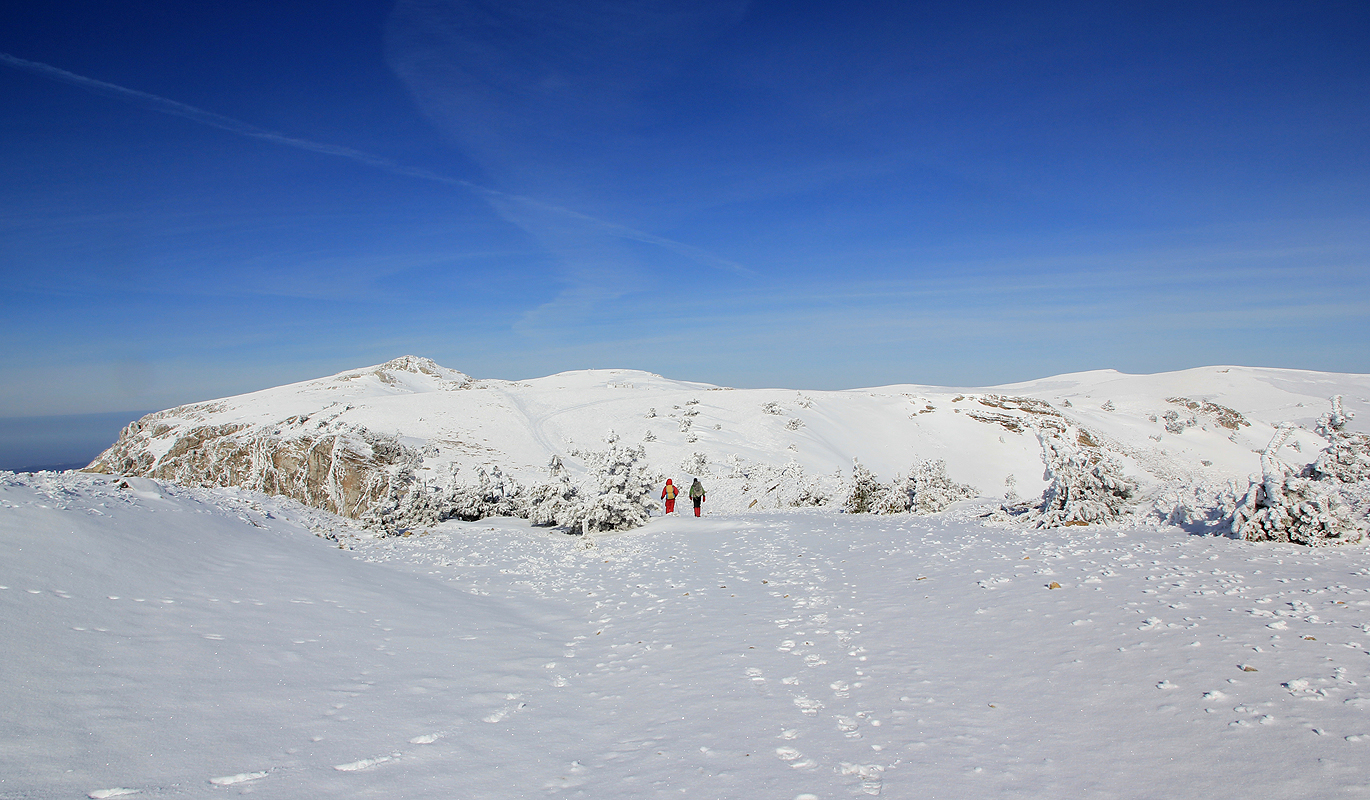
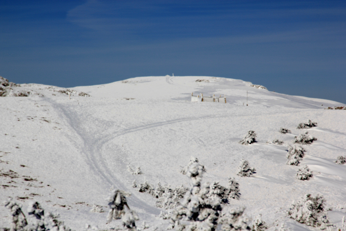
summit of Roman-Kosh for the first time. The terrain is now
an open, pretty broad mountain plateau with gentle rolling hills.
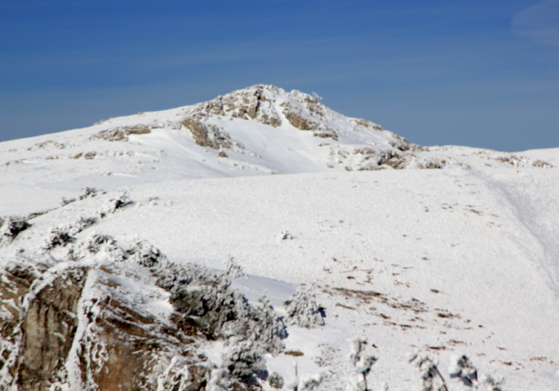
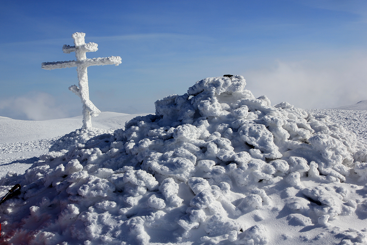
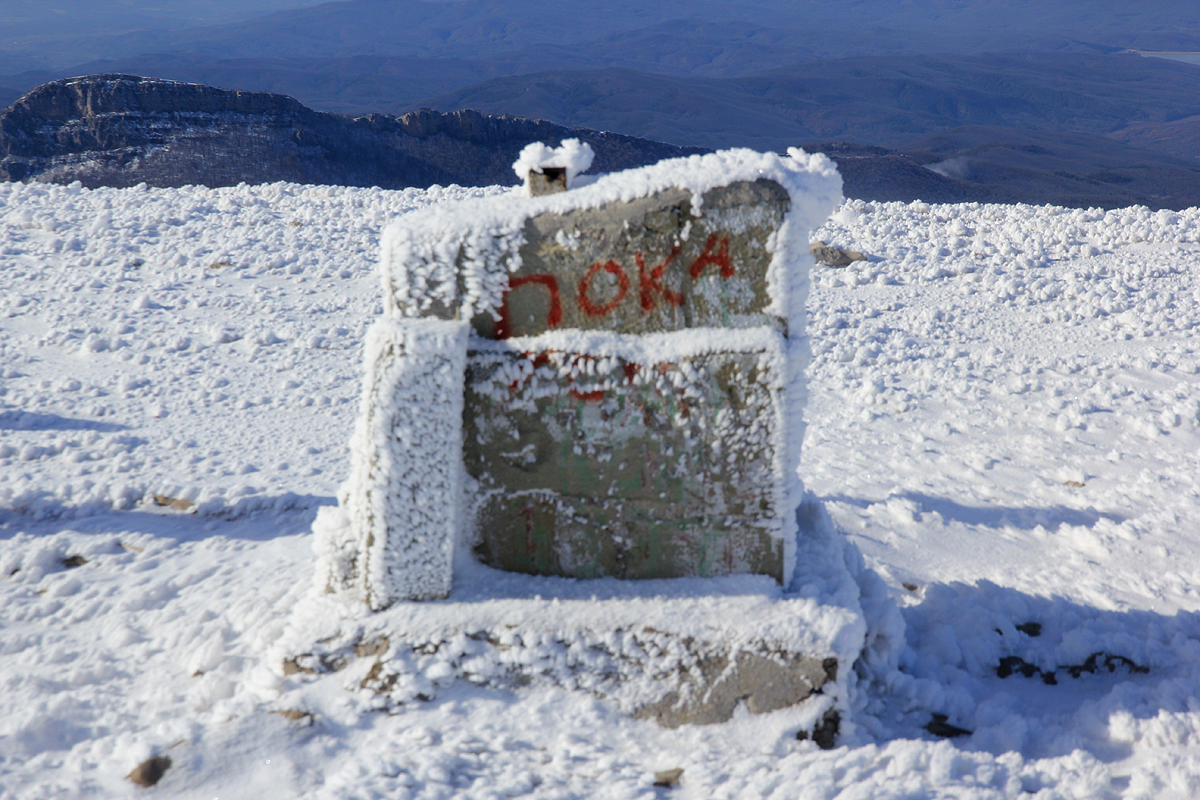
The slightly rocky peak on
your left is called Orman-Kosh, while Roman-Kosh is the
well rounded hill
where a summit cairn
(really just a pile of rocks) as well as a summit cross may be seen.
Note on access:
The Roman-Kosh summit is in the territory of the Crimean Natural Reserve. Officially, the entrance to this park is prohibited.
Exactly what implication this has is unclear. There are (fairly) reliable reports of hikers that have been chased off.
My contact in Yalta claimed that chances of climbing this peak without interference, was indeed very small in the summer,
but far better in the period November - February. This was my principal reason for doing this in January.
Comments:
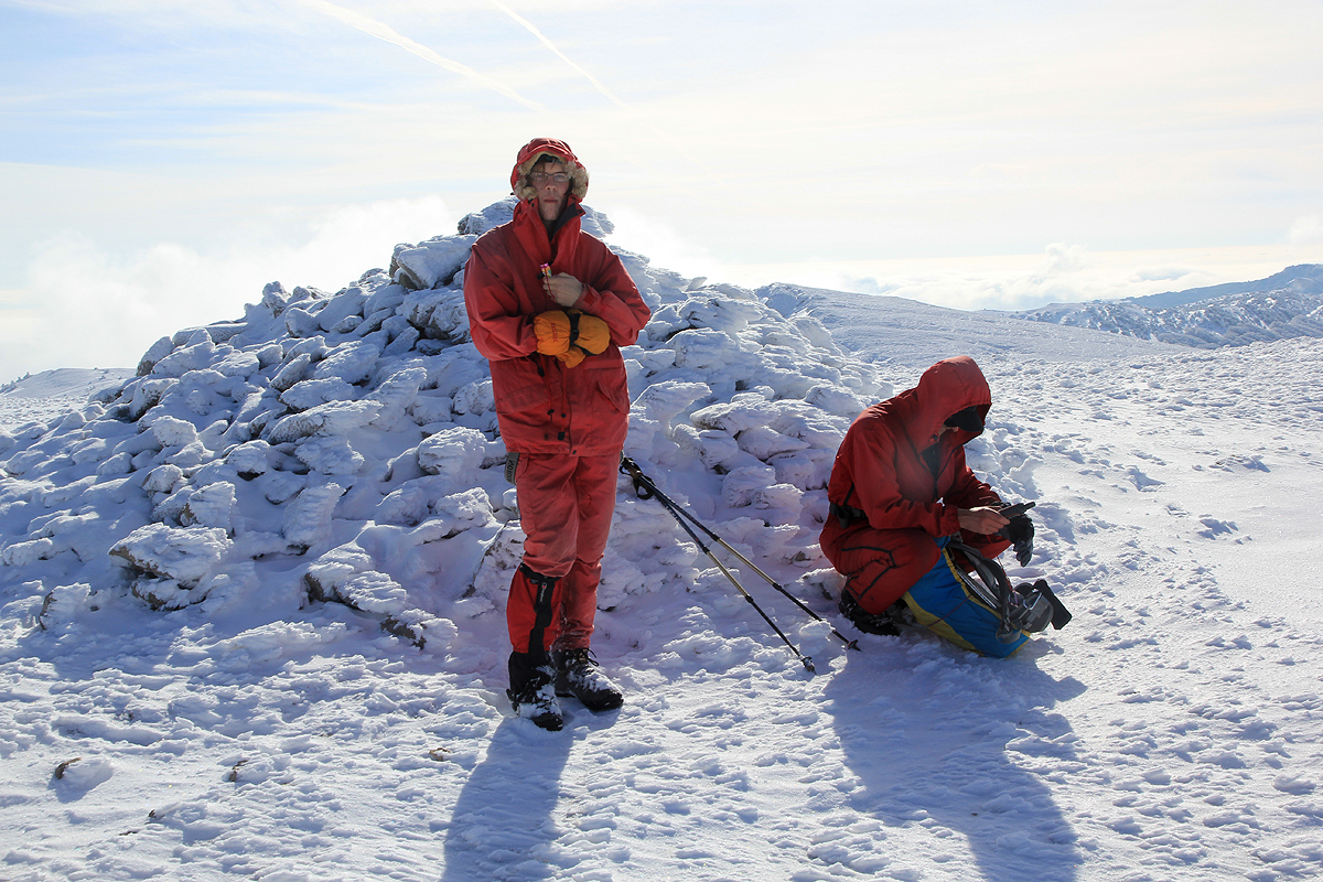
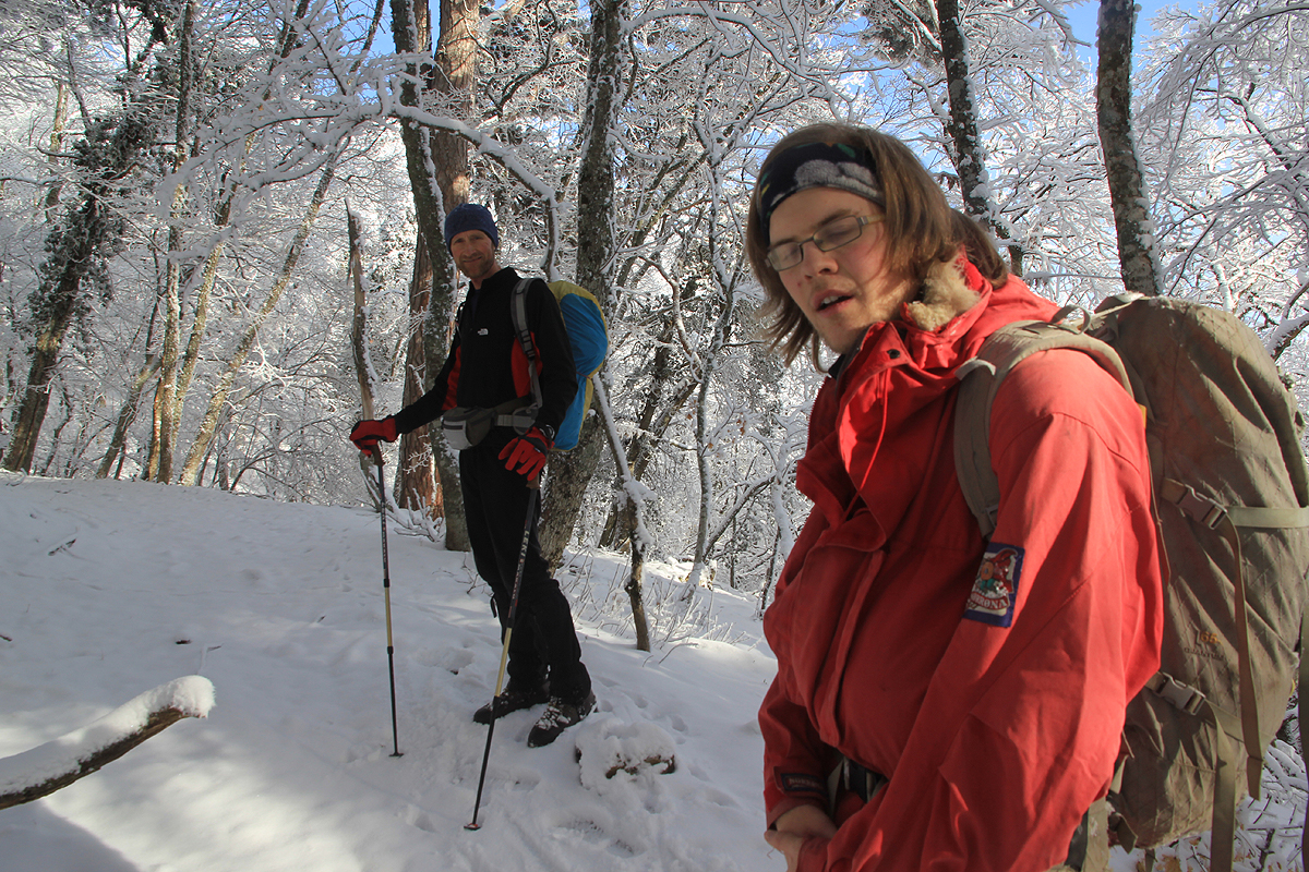
I did this climb with my son Pål Jørgen and the local Yevgenii Ochkin (Zhenia).
Zhenia knew the area intimately, he also works as a guide on Elbrus, having climbed this peak
almost 100 times.
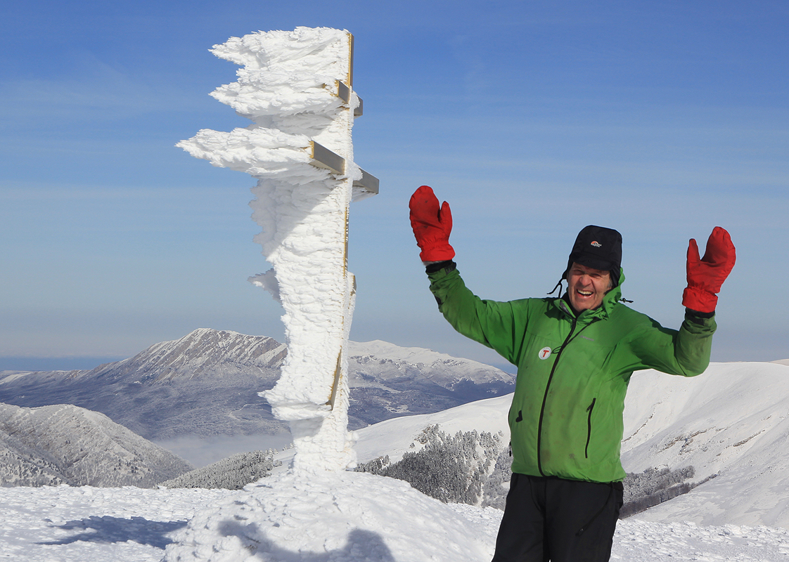
This climb marked my completion of climbing the
100 most prominent mountains in Europe which includes
also all 99 Ultra prominent peaks in (core) Europe.
By pure coincident, this was also my Ultra prominent peak number 200.
My son Pål Jørgen, age 24, has been my company on 50 of the 100 most prominent mountains
of Europe. My sincere thanks to him for good company and the sharing of many moments, beautiful views as well
as a few dangerous situations.
We left Norway on Friday and flew from
Bergen via Oslo directly to Kiev.
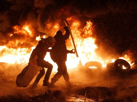
Just a few days earlier,
the long lasting political demonstrations against the current government had escalated to a serious
level with at least 5 people killed. People were building
barricades in the center of Kiev and serious
fighting had started. The picture, by AP Photo/Sergei Grits, was taken on January 22.
Many governments buildings across the country were occupied and there was a real
danger of civil war.
We continued from Kiev to Simferopol the same evening,
arriving there at 2100. My contact, Ihor Brudny, was there
and he drove us to Yalta, the conditions looked a bit difficult with fog and snowdrift along most of
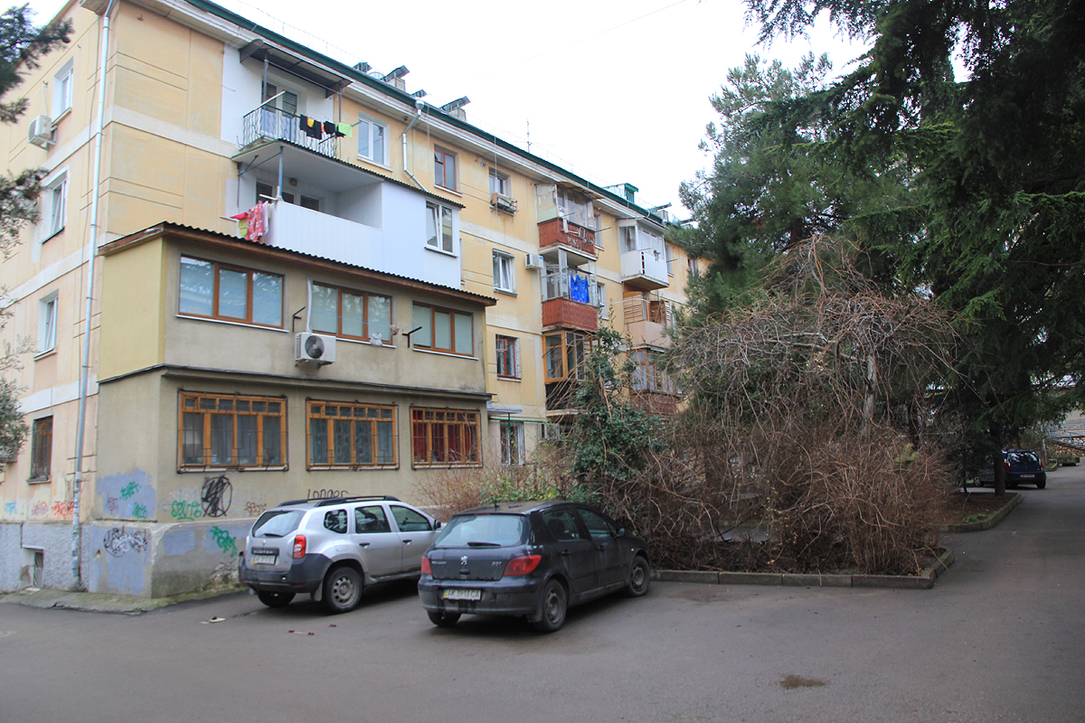
the road. He had arranged an apartment in
the very center of Yalta for two nights.
We were picked up the next morning at 0800 by Ihor.
Next, we picked up Zhenia, then drove to the trailhead. The road forking off
from the main highway had a layer of snow and was somewhat slippery. Ihor drove as far
as the car could go, we said thanks and started hiking up the remaining short section
of the road at 0830.
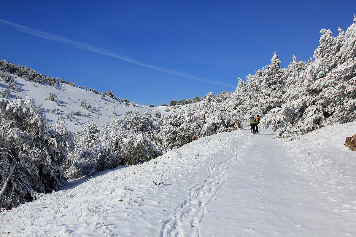
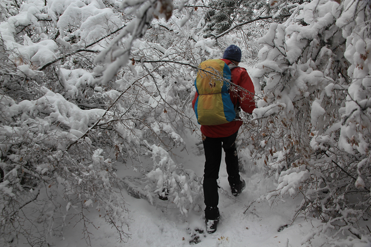
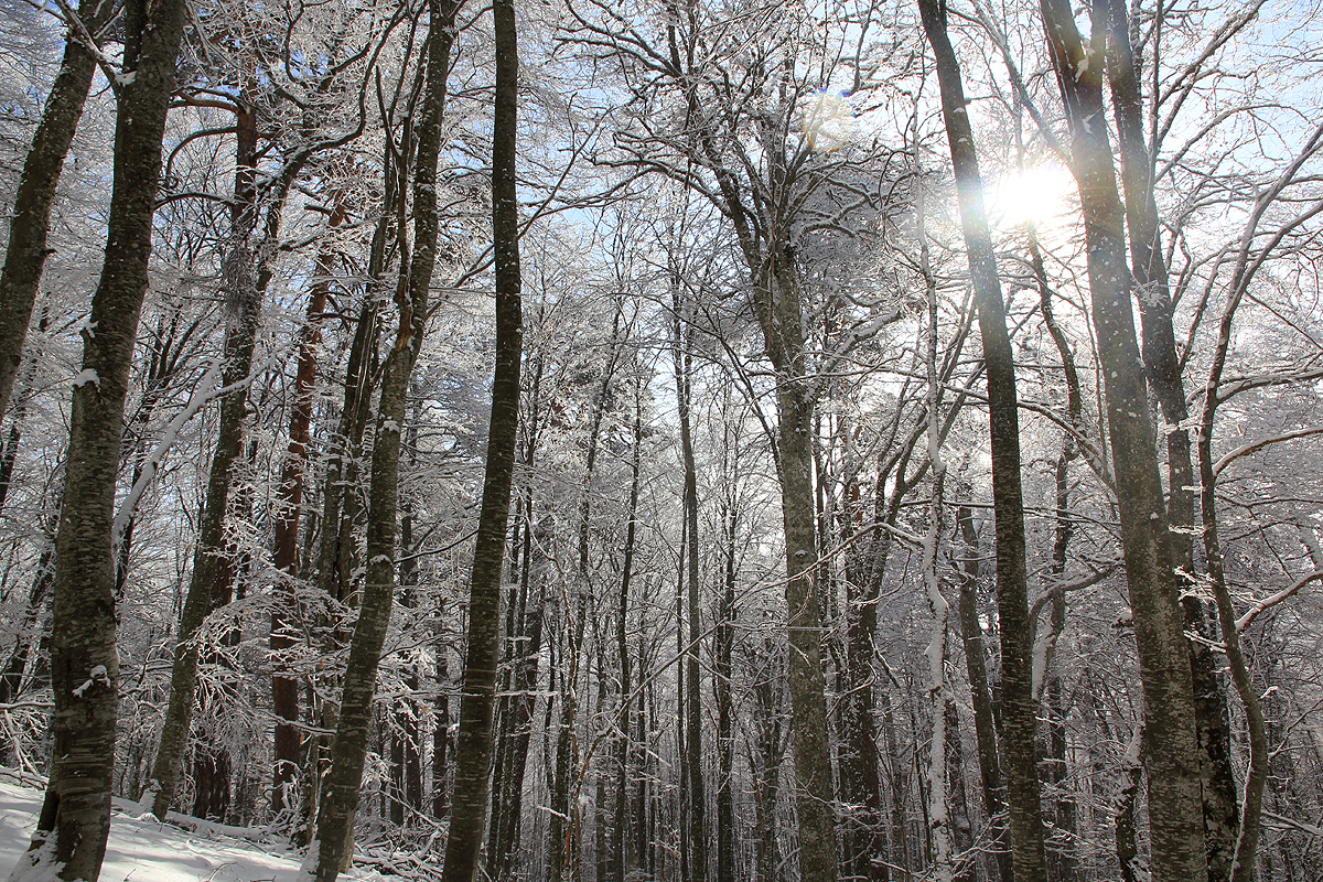
The hike was pleasant and except
for the very first part, stayed on pretty wide paths,
essentially old forest roads. We
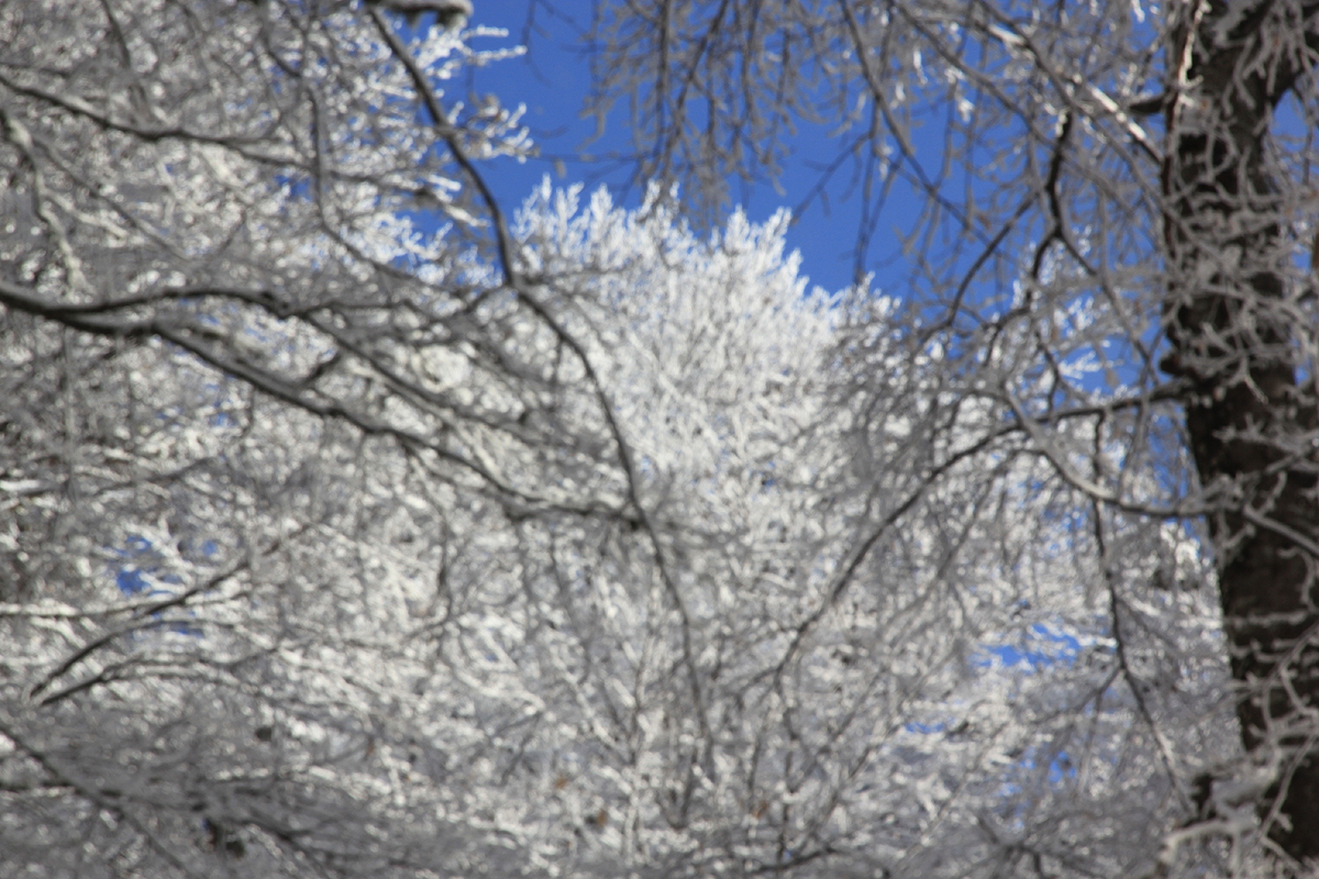
made good progress and to our delight and surprise,
the sky cleared and we
could see the sun hitting the treetops above us. A 10 minute rest
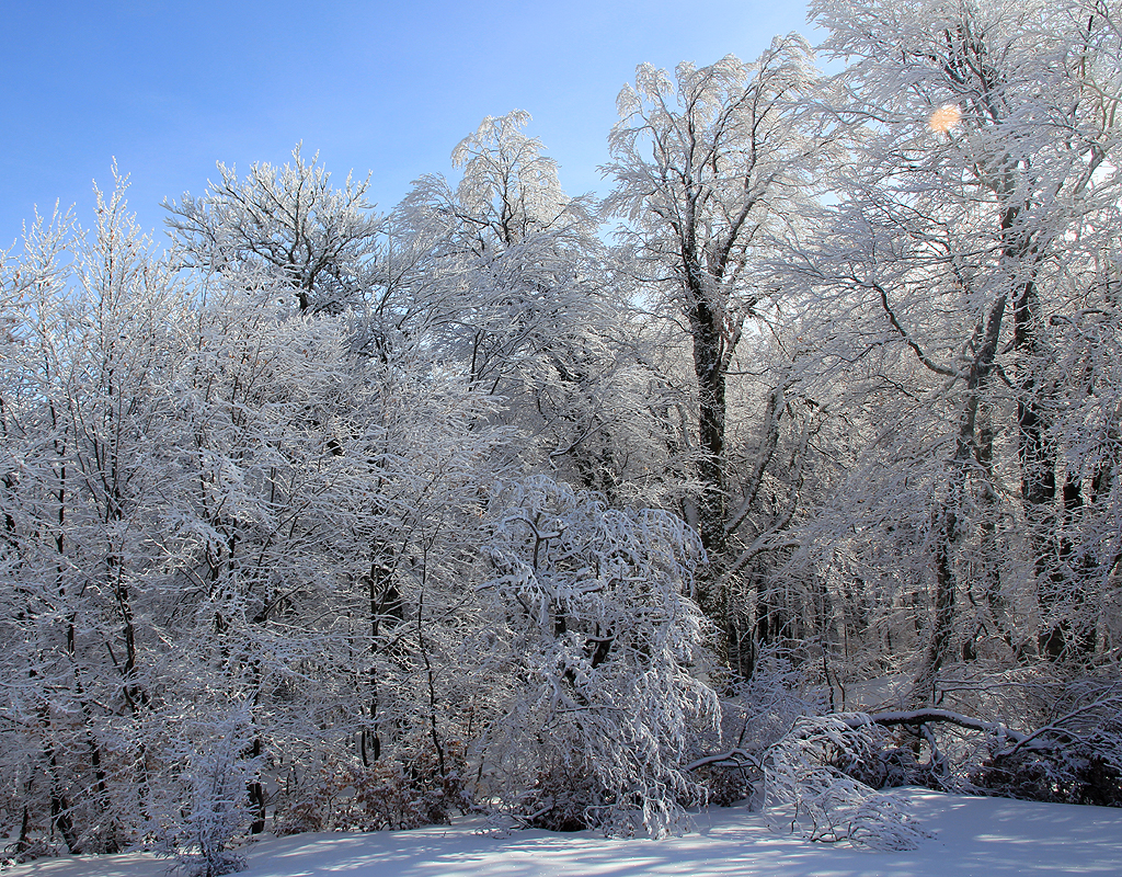
was called at 1030,
we had been hiking for 2 hours and most of the elevation gain was now
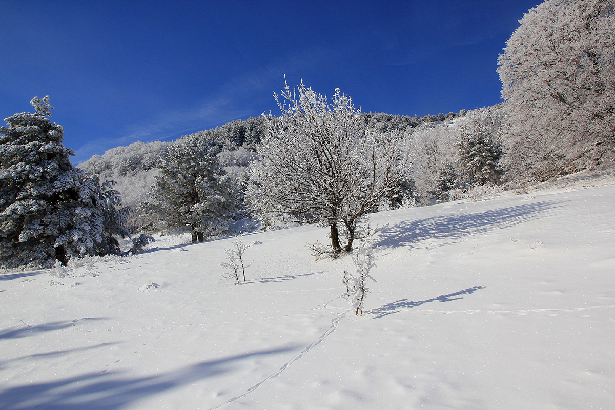
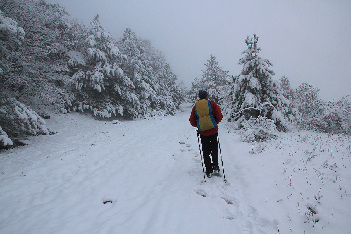
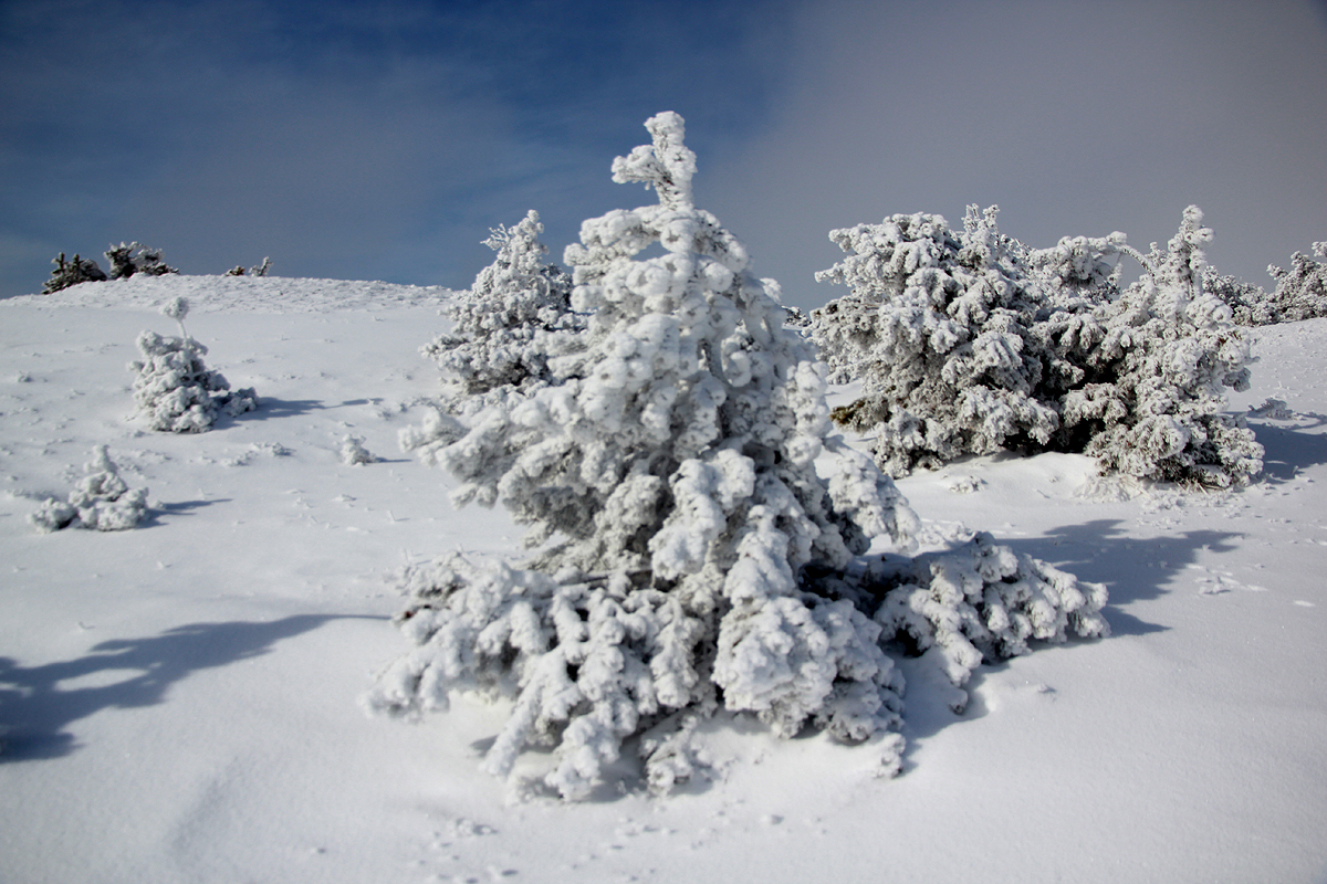
behind us. We had just left the forest,
more sparse vegetation ahead.
A single, nice tree was growing next to our place of resting.
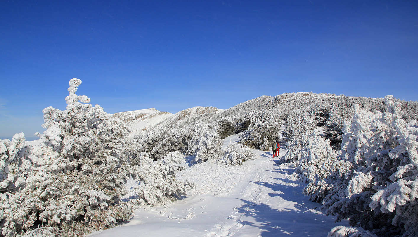
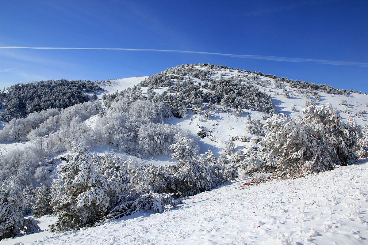
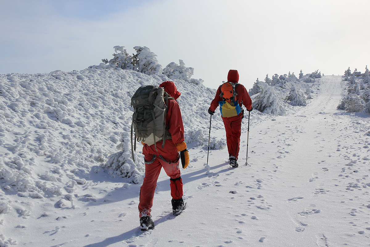
We continued up to the main saddle, a good sized hill also to our left. Turning right,
we had a good, wide track that
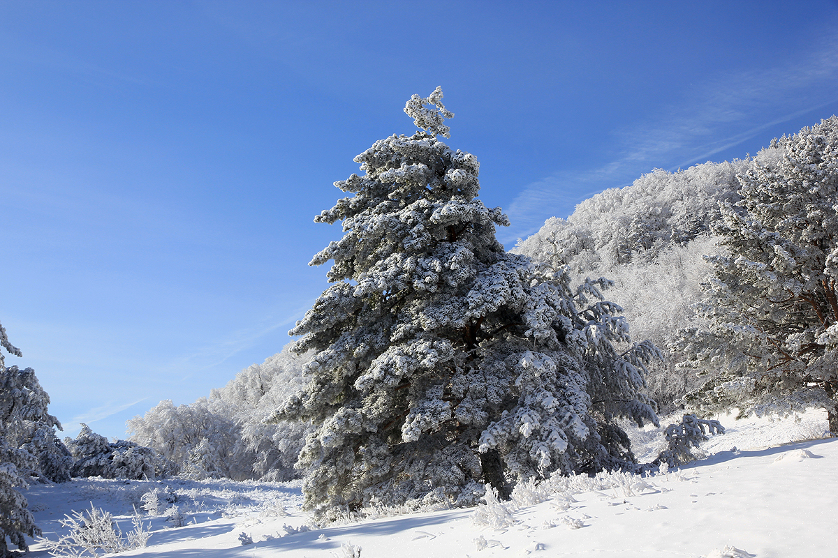
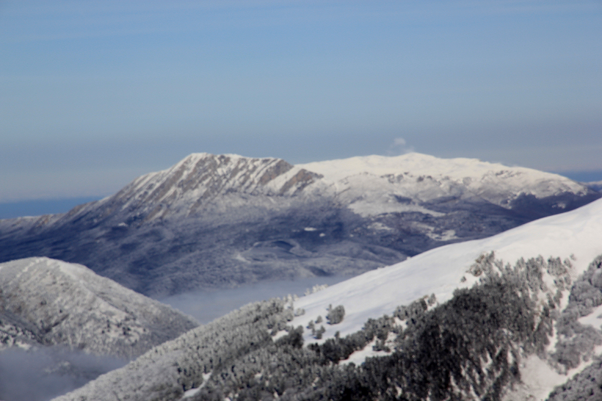
took us up the ridge and past the last belt of mountain pine trees.
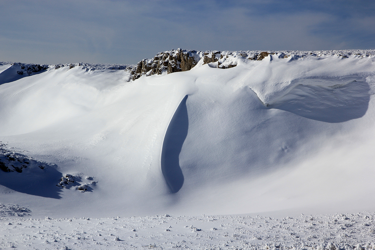
The upper part of this mountain is all above the treeline,
quite nice formations with a blanket of snow.
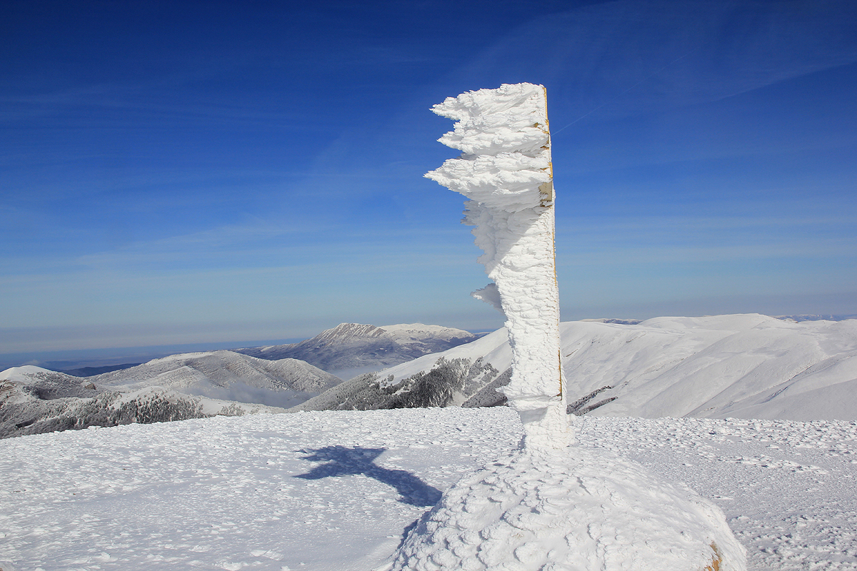
We could now see our destination and easy hiking
brought us there shortly before 1200 - noon.
The views were
good and the sun still shining. We could see that clouds were about to engulf us.
We stayed around for about 15 minutes, then started back down, pretty much retracing our steps.
We were fortunate with our timing, because the clouds now took command and the sun disappeared.
We were back down on the road by 1430, a very successful hike.
Sunday as a tourist on Crimea.
This section is only about sightseeing on Crimea. With a successful climb
on Saturday, we could spend our back-up day on sightseeing. Skip if mountains are your only interest.
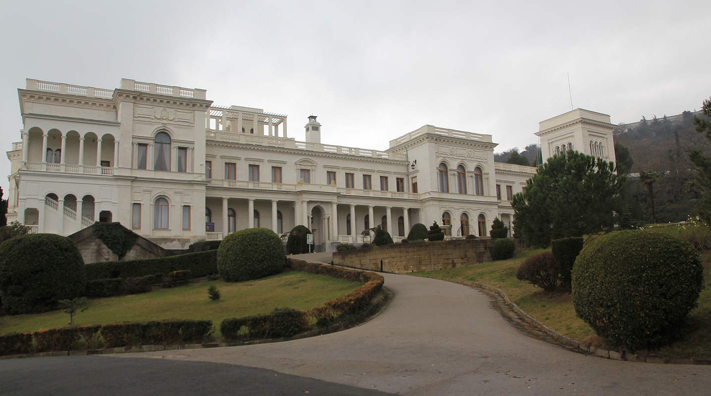
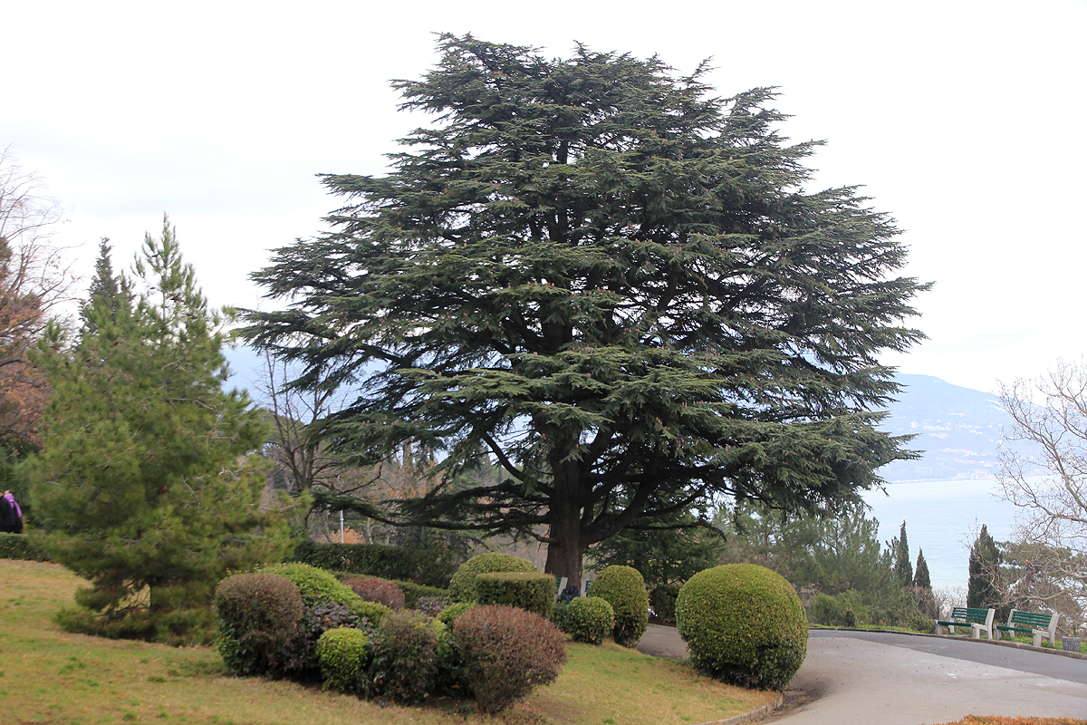
Ihor picked us up and we first drove to the Livadia Palace.
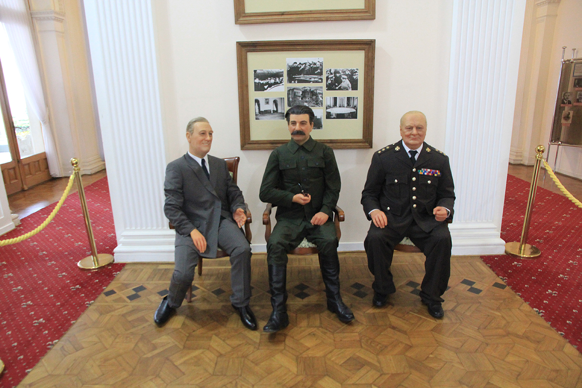
This site is famous for the Yalta conference,
the meeting in February 1945, between
Churchill, Roosevelt and Stalin to draw up a blueprint for Europe when the Second world war
ended. Ihor was very knowledgeable and told us many details also about the tsar Nicholas II and the various rooms in the palace.
There is also quite a nice park surrounding the palace.
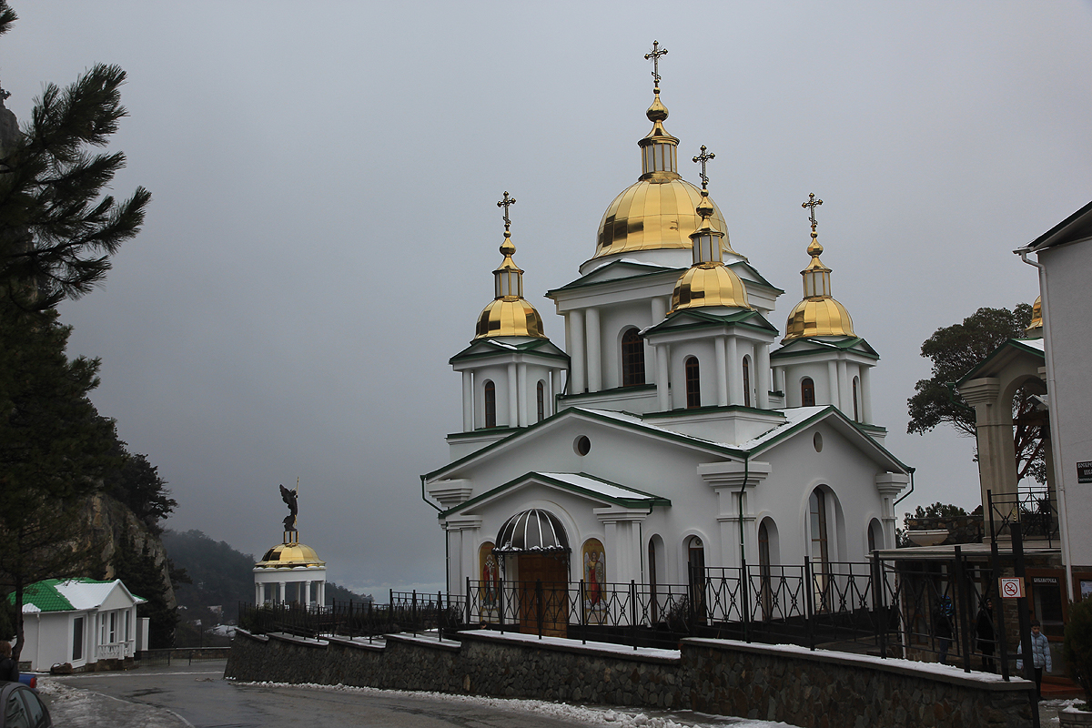
Next, we continued to the church of St. Michael the Archangel.
This church was located quite some way up in the hillside, inconvenient
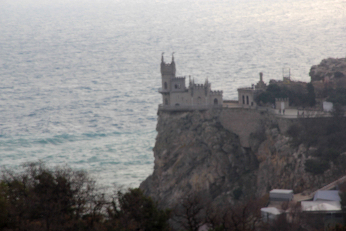
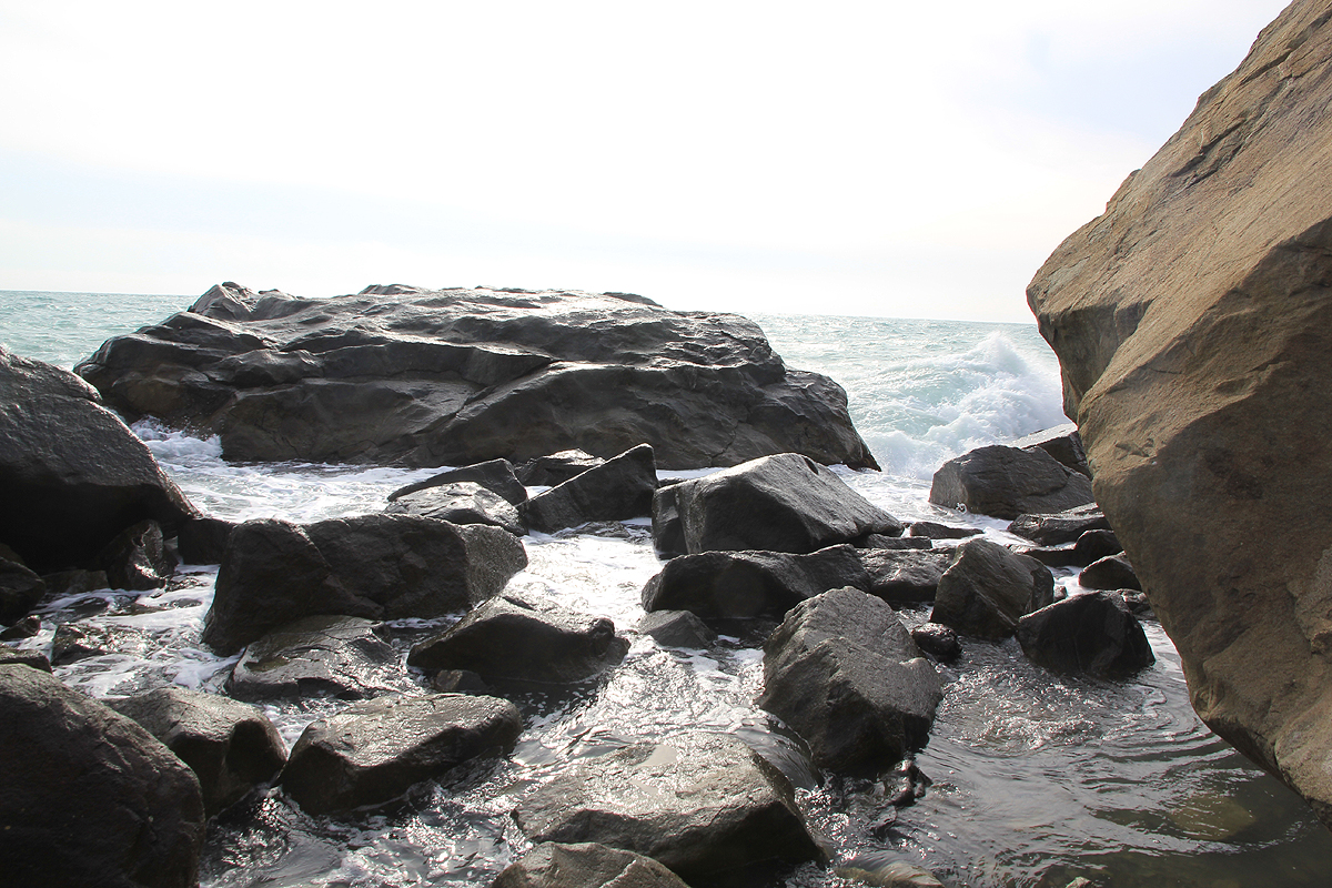
to reach without a car. The next stop was a viewpoint overlooking
the Swallow's nest, a famous landmark on the Crimean coast. We continued
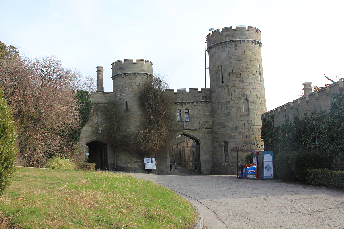
to the Vorontsov Palace. This interesting
building is located in a big park and we enjoyed a short walk all the way down
to the Black sea.
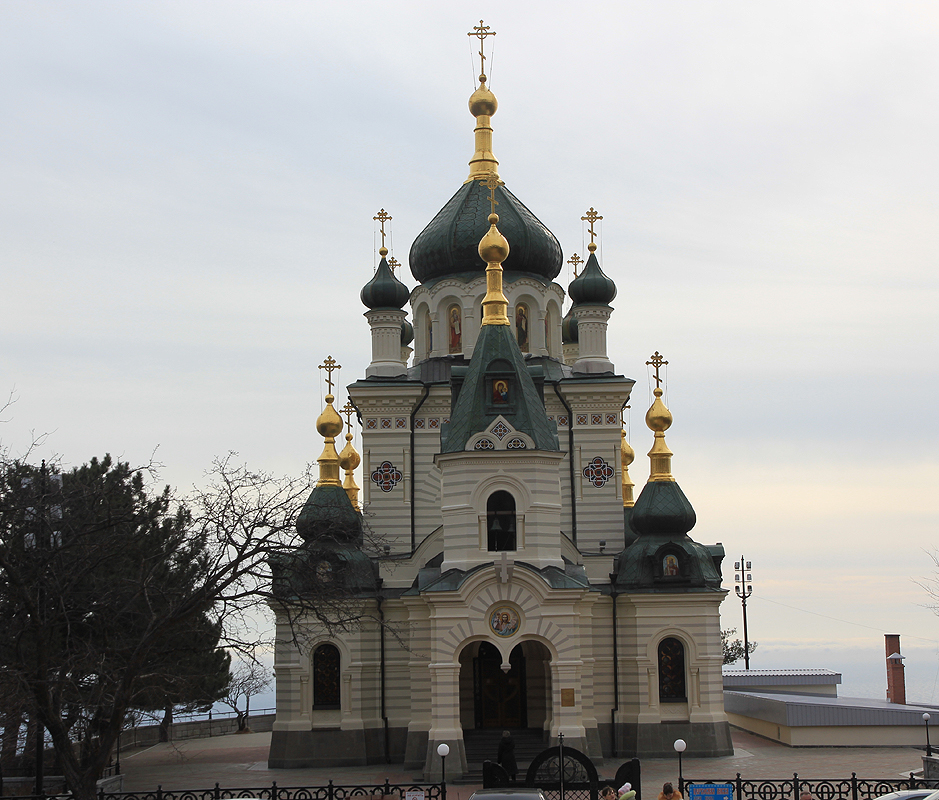
From here, we continued along the south coast for
yet another visit to a church, the Foros church, also located high
up in the steepish hillside overlooking the coast and the sea.
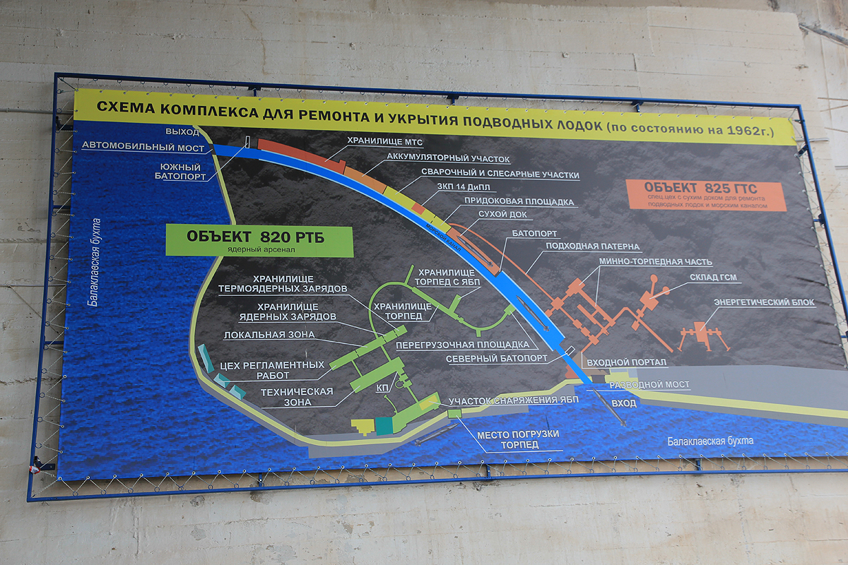
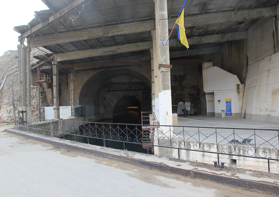
We continued to the old submarine base that the
USSR built inside a hill with two entrances, a complete
dry dock as well as an area for storing nuclear war-heads. We took a walk
along these underground waterways and
looked at what certainly looked pretty obsolete by todays standard.
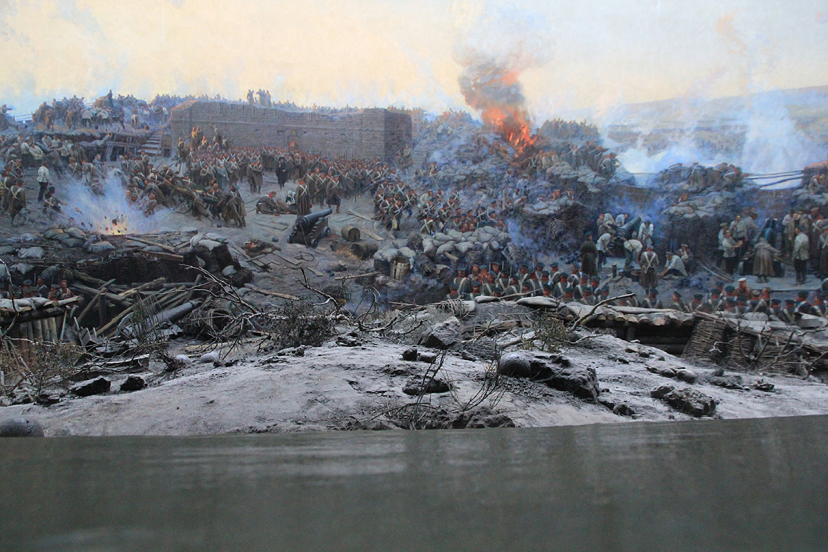
Our trip now continued to the Panorama museum. This was very well done,
a pretty realistic display from
the Crimean war, showing the critical day of June 18., 1855.
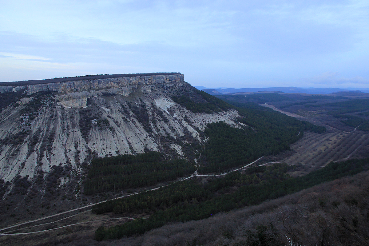
Our last stop of the day was the old "Jewish fortress", called Chufut-Kale. Located on
the flat top of a rather steep cliff, we had a short, but nice hike up a small
canyon, then along a path up to an entrance door that would bypass the steeper
cliffs immediately below the top. This
location had a pretty nice view and obviously,
a difficult place to attack from below.
We concluded the day with dinner at a local ethnic restaurant. Then Ihor drove us to a
small hotel in Simferopol. His brother would pick us up the next morning at 0530 in time
for our 0700 departure to Kiev. Unfortunately, the next morning came with a drizzle of rain
hitting very cold pavement. The very slippery conditions closed down our airport. Airport officials did
not know how to deal with this problem. Consequently, we waited while the sun did
the work. Whan we finally departed at 1400, we were one hour late for our flight back to Norway.
We purchased new tickets and got as far as Riga in Latvia that day. Return to Bergen on Tuesday,
one day late.
Local (recommended) contacts:
Ihor Brudny,
email : ibyalta@gmail.com
mobile : +38-050-324-23-50
address: Sverdlov street 75/42
Yalta 98603
Ukraine
Sergey Sorokin,
email : sergey.crimea@gmail.com
mobile : +38 067 79 39 100
Here is a map overview of the entire Crimea trip.
Resources: