Location: North 68:55.298, East 016:27.037 (GPS at the summit)
Difficulty: YDS class 2
Attempted June 4, 2007
Climbed November 19, 2011
Information:
How to get there:
This mountain is located on the island Grytøy and is the island HP.
A good starting point is the city of Harstad.
Travel north from the city on Hwy. 867, a short distance
to Stornes where the ferry crosses to the island Grytøy.
This ferry will take you across to a place called Bjørnå.
Follow the road left (west) to the farm Vadskinn (2-3 kilometer). The farm
houses are on your right, there is a meetingplace (M) marked on the road, this is
just before the road curves right. Ask in the house about parking, it is normal to
park at one end of the meetingplace. This is the trailhead, location N68:53.378, E016:26.118,
elevation 12 meter. Route description:
From the meetingplace, walk a few meter (in the direction of the ferry) and
locate the tractor road that serves the farm. Take this farm road as it heads uphill
on a traversing path towards the north-east. This road emerges higher up, onto a couple of small
grass fields that belong to the farm. One can easily loose the trail here. Follow the
small fence made of boulders towards a building. There are two buildings and the correct
route stays below these buildings. Cross the fence where it can be opened and closed behind you,
then head right and locate the rightmost field of grass. Cross this in order to get to the
highest laying corner. The trail starts out from this corner.
Note added in 2011.
This time I started out after parking my car a bit earlier, on the fjord side of the road where
the road makes a right curve (when driving west). This is location N68:53.263, E016:26.838.
Walk the road that serves the nearby farm, this road continues uphill. Fork left higher up
and cross the creek. Continue to follow the tractor road as it runs near a single red building
then curves right and gains another hill. From here, head more left (uphill) on a small trail.
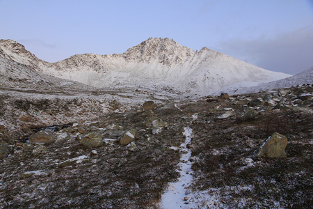
Higher up, you will find the main trail by just going uphill (north), possibly slightly left (west).
Follow the trail as it runs a bit
east of north until it crosses the creek Vadskinnelva. On the other side, the trail heads more
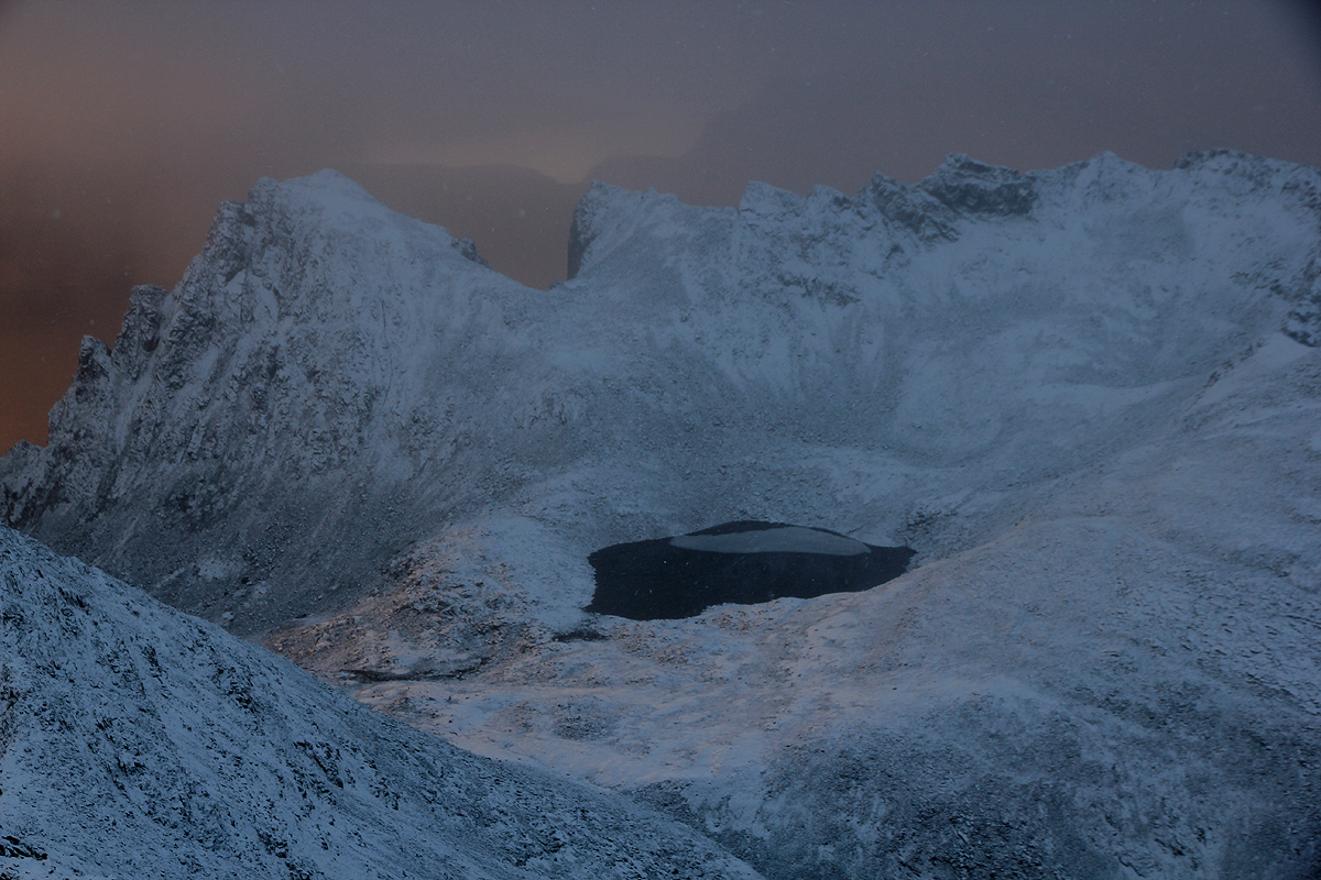
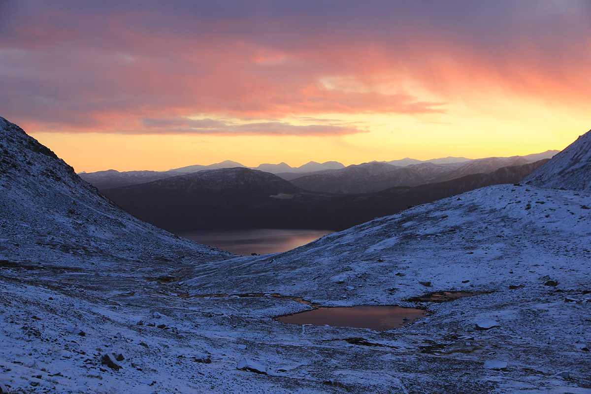
north more or less parallel to the creek. Pass the small lake (on its east side) and continue
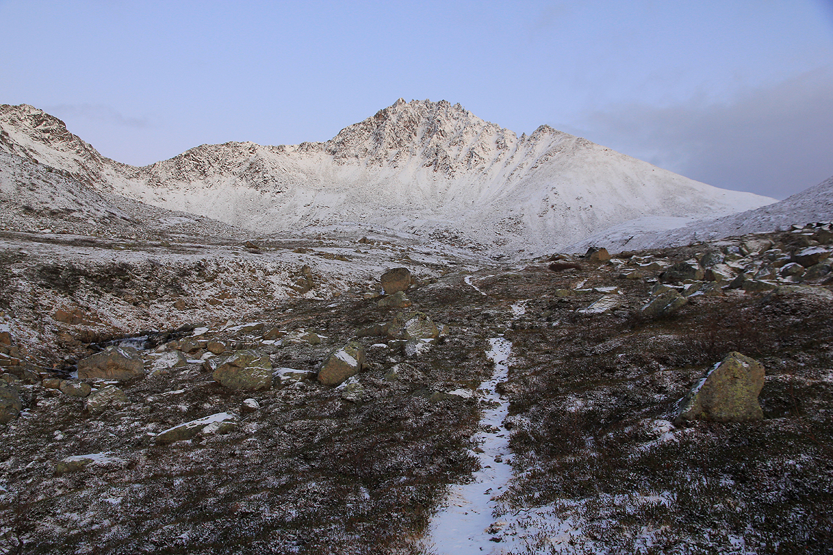
along the trail as it climbs more steeply to an area
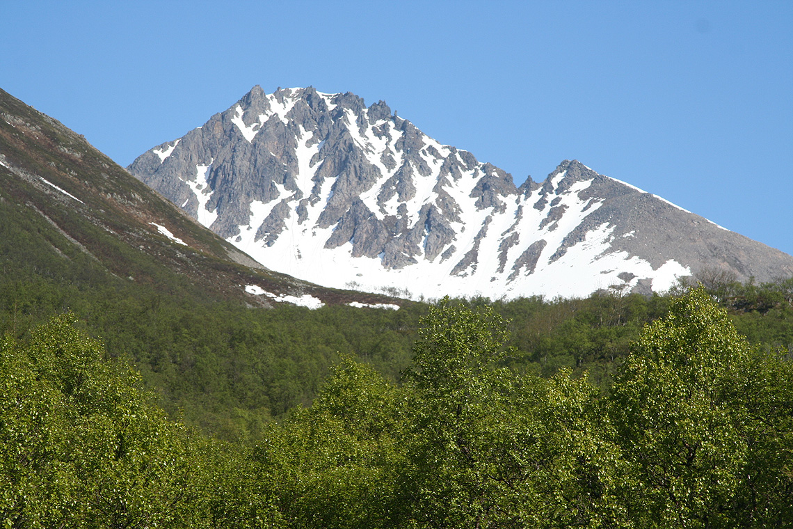
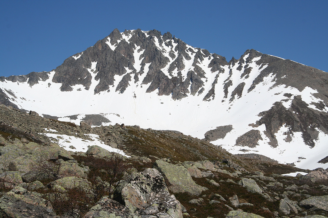
just below the south face of Nona.
It pays to stay right and gain elevation avoiding the talus area further left. Eventually, cross
left and traverse all the way across below the steeper face of Nona. Gradually gain elevation when
convenient in order to arrive near location N68:55.121, E016:26.674, elevation about 770 meter,
below but near the south-west ridge. There is a
very distinct gully
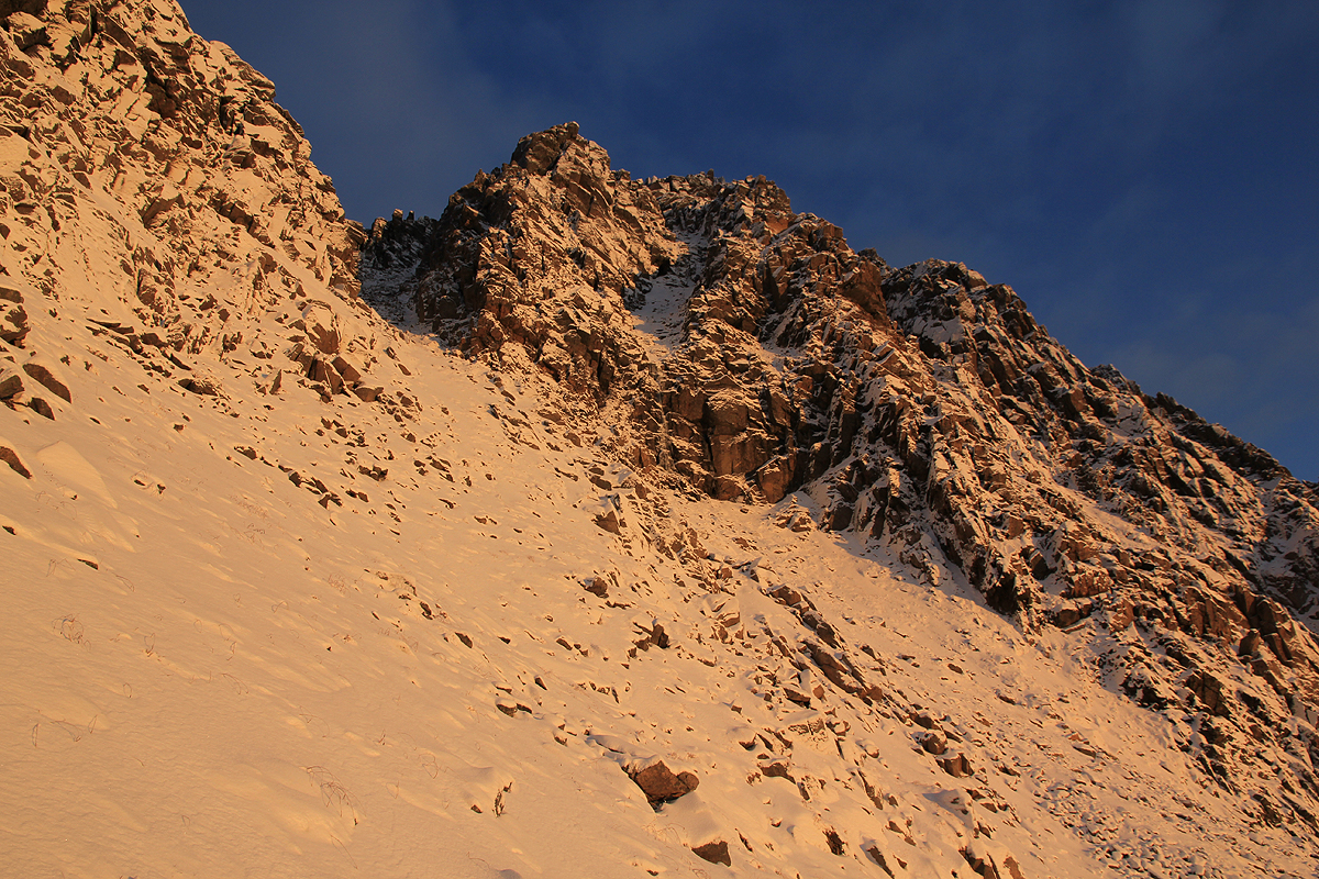
that gains the ridge just above you. Head up the slope and follow the gully
until it gains the ridge in a fairly deep notch.
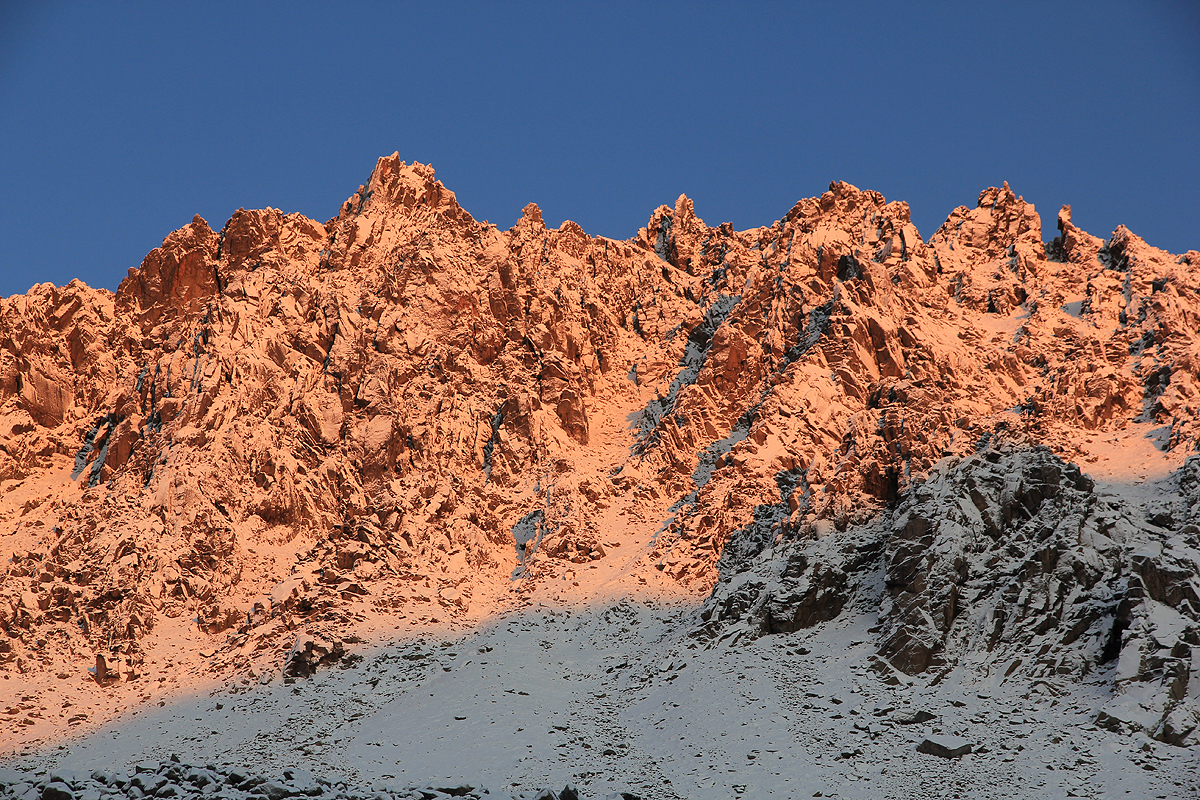
Turn the ridge and head uphill left of the ridge crest.
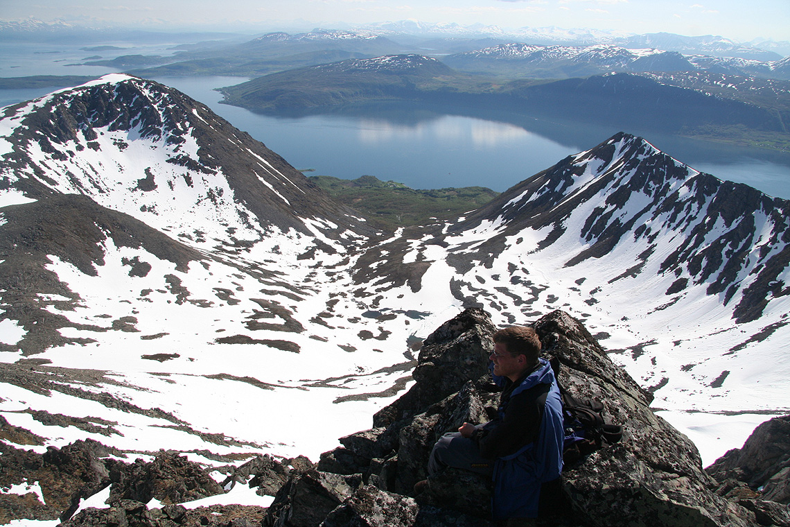
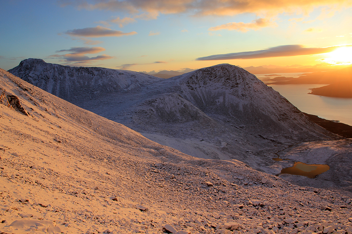
The summit you see above is not the proper summit.
Higher up, traverse a little left, then continue
uphill in order to gain the summit ridge. There is a fairly good sized
summit plateau on your right while the very highest point is located a bit further left
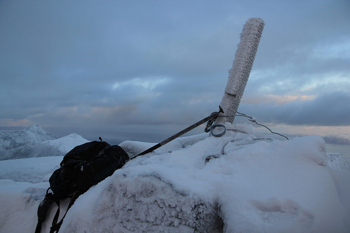
along a somewhat more narrow ridge. Follow this ridge to the summit. The summit is marked
with a small wooden pole.
Comments: First attempt, June 4. 2007.
I did this climb with Edward Earl and Geir Åke Dahlen. We packed up our gear
cleaned out the nice self serve hut we had been staying in and departed for Harstad.
The trip went according to plan and after a short wait for the ferry we crossed to the
Grytøy island and drove the very short section of road to the trailhead.
We had called Harstad hiking club after reading that they organized a hike to
this summit a few years earlier. I tried to get a proper description of the
route, but the lady that had led the previous tour was not particularly clear when
it came to route descriptions. She said that one should follow the trail by the small lake,
then turn right and locate some sort of notch to hike into. I tried to suggest that the trail
might be covered by snow this early in the season, but to no avail.
It seemed, however, pretty obvious as we approached the small lake. There was a very distinct
looking notch on the ridge to the right. We never doubted that this was the feature that had
been described. A nice snow gully of only moderate steepness extended up all the way. We climbed
this and looked around in the col. The north side was near vertical, so obviously the route would
have to stay on or on this side of the ridge. Heading uphill, we soon ran into minor difficulties that
forced us off the ridge and onto the upper part of the face. A couple of steep snow chutes had to be
crossed, worse, the rock was not walking but (YDS) class three scrambling. Even a couple of
easy class4 moves. I realized that this could not be the "hiking club route". A little higher, and
we ran into the real show stopper, a large vertical cliff blocked further progress.
Edward bravely explored a bit higher, but reported the exposure to be just worse and the route
ahead class 5 climbing. We did not even bring the rope, so the conclusion was easy. No summit today.
We turned around close to location N68:55.138, E016:27.361, elevation approximately 950 meter. The time
was already 1550 (we needed to get back to Tromsø this day).
We found another snow gully to descend, saving us a bit of time. It was obvious that the regular
hiking route must be closer to or on the opposite ridge (that is the south-west ridge). Unfortunately,
the snow covered the trail completely, so there was no easy way to tell. However, hiking below the
south face across towards the south-west ridge would indeed still be consistent with making a
right turn at the end in order to gain that ridge.
We were back down just in time for a ferry and thus started our trip back to
Tromsø.
It was perhaps characteristic for this trip that when we finally
came to a mountain that had been the goal for previous trips by the
local hiking club (Harstad Turlag), then we picked the wrong ridge and
did not succeed to summit. I shall be back and explore the correct route
next time. Comparing coordinates with the 2011 climb, it turns out that we were
220 horizontal meter from the summit (and 60 vertical) when we turned around.
Anyhow, we had a very fine day. The route was interesting as it involved crossing
of steep snow couloirs as well as pretty good scrambling in the YDS 3-4 range.
As this concluded my trip, a very sincere thanks is due to Edward and Åke for
excellent company. I am sure we will find new opportunities to climb together.
Second attempt, November 19. 2011.
I took the 0615 flight from Bergen via Oslo, arriving at Evenes airport at 1020.
When I arrived at the ferry it turned out that the next ferry was not until 1400.
Too bad, I subsequently decided to climb a small mountain near Harstad. A quick look at
the map and I decided on Storlitinden.
It looked feasible in the short time I had before
it got dark. It also seemed to be the highest peak in its near vicinity.
The hike is described by following the link above.
I subsequently returned to Harstad and stayed at the local Thon hotel.
The next morning, I took the 0745 ferry
across to the Grytøya island. Shortly, I was parked near the trailhead and
started to get ready. It was already reasonably light and I started hiking at 0830. I followed
a farm (tractor) road uphill, crossed the creek and continued uphill until the farm tracks ran
out near a meadow. The trail was clearly to my left, I just continued uphill in easy terrain
until I ran into the trail near another, higher meadow.
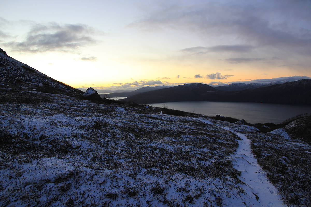
The trail is quite easy to follow
until it runs on the right hand side of the small lake.
There was a thin layer of snow, just enough for the trail to disappear. I continued directly
uphill, then started a traverse going left. This was not the smartest move of the day as I soon ran
into sections of large boulders, all covered by ice and a layer of snow. Progress almost ended.
Slowly, I was able to pick my way across to better rocks, still the route was far from good.
I was very happy when I finally stood below the southwest ridge on a slope that looked slippery, but
without many rocks. I left my walking poles here and continued with my ice axe and crampons.
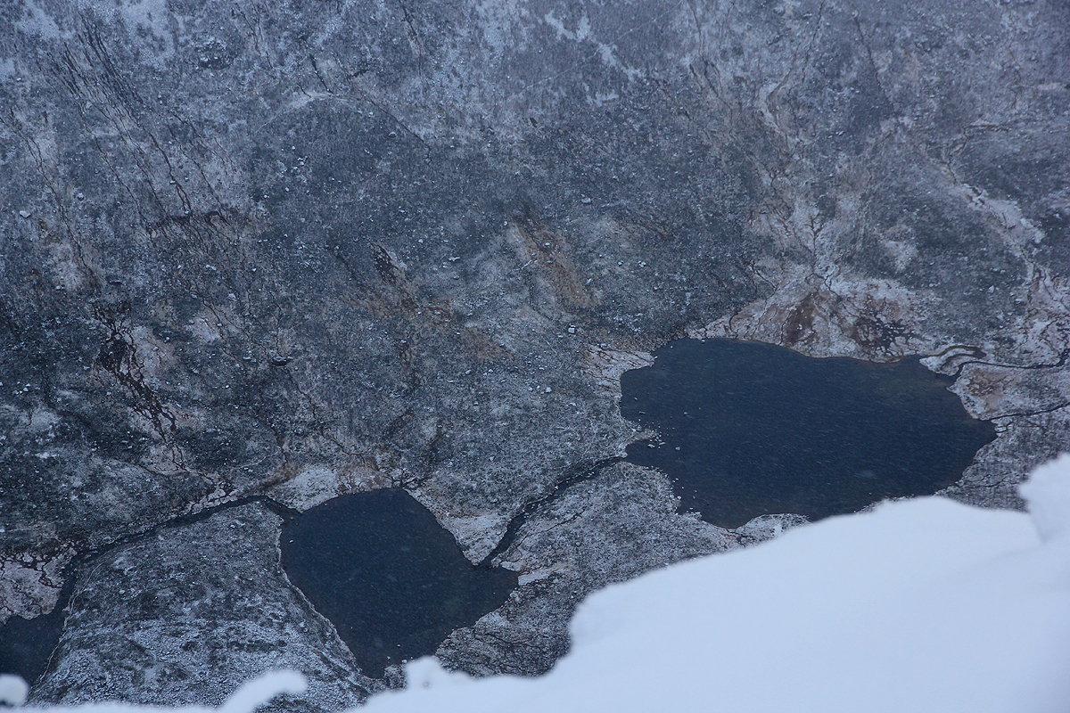
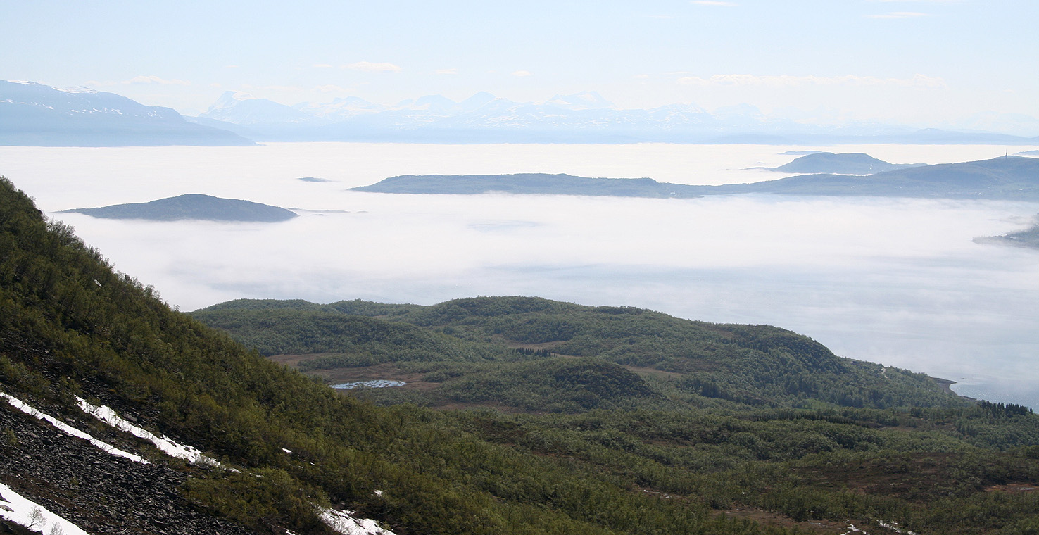
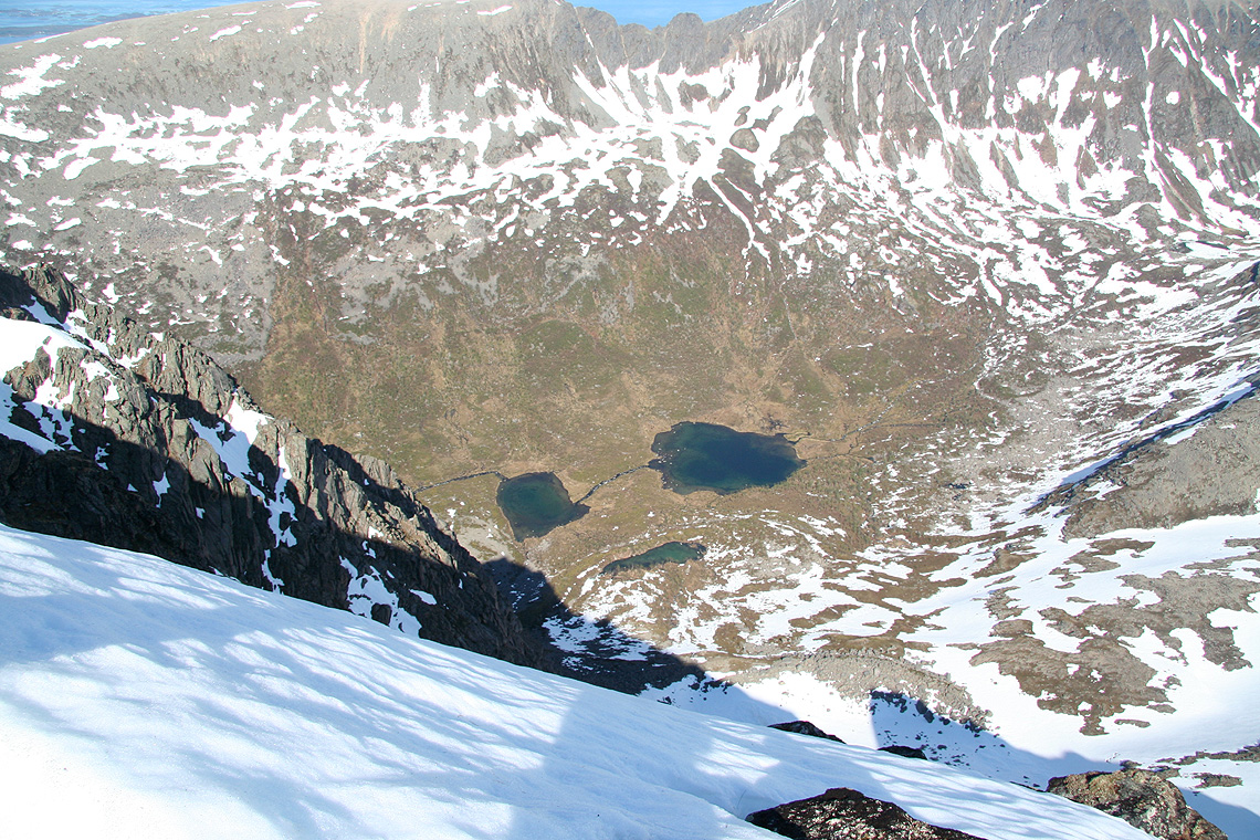
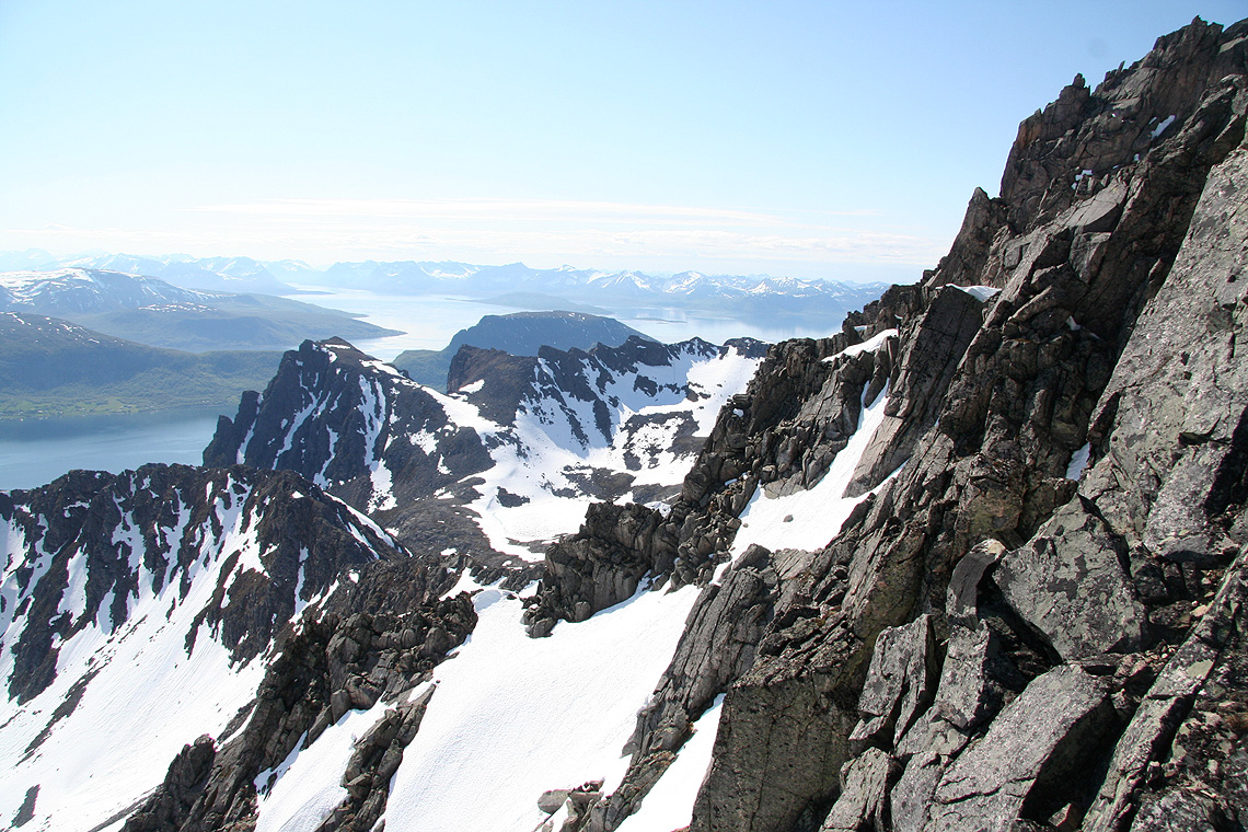
The gully was pretty straightforward and soon I could look down to a couple of lakes at the north
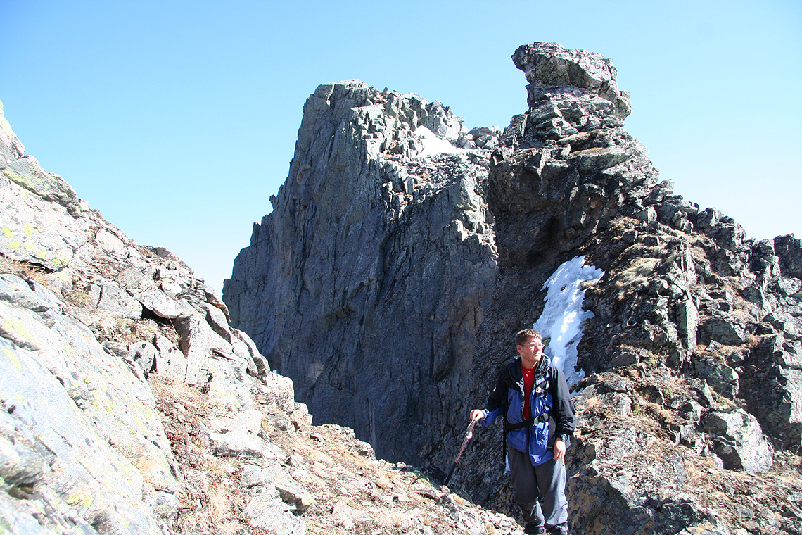
side. I continued up along the ridge and got myself into some class 3 terrain, climbing with crampons
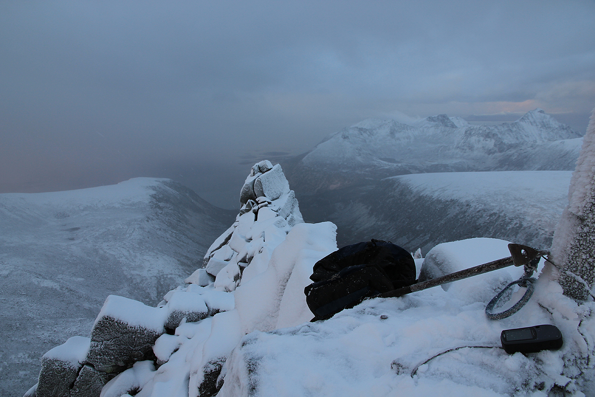
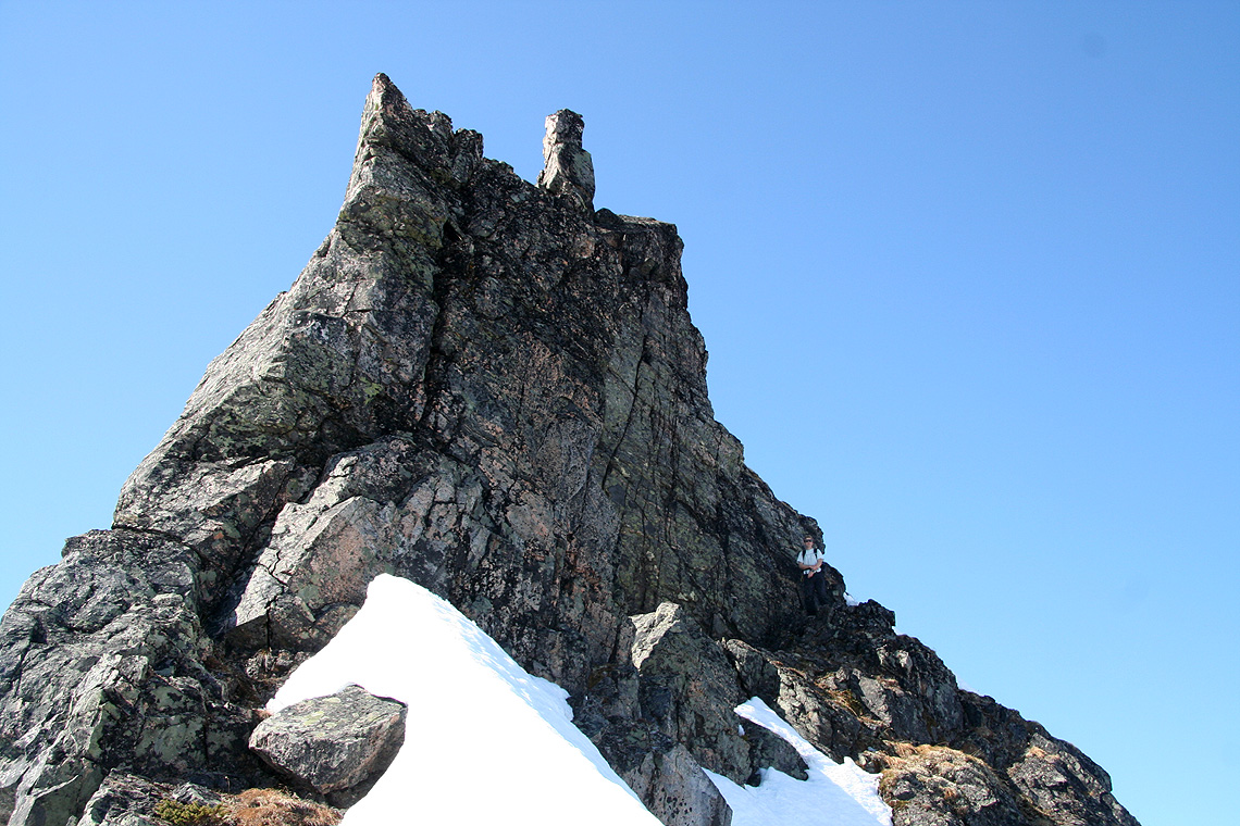
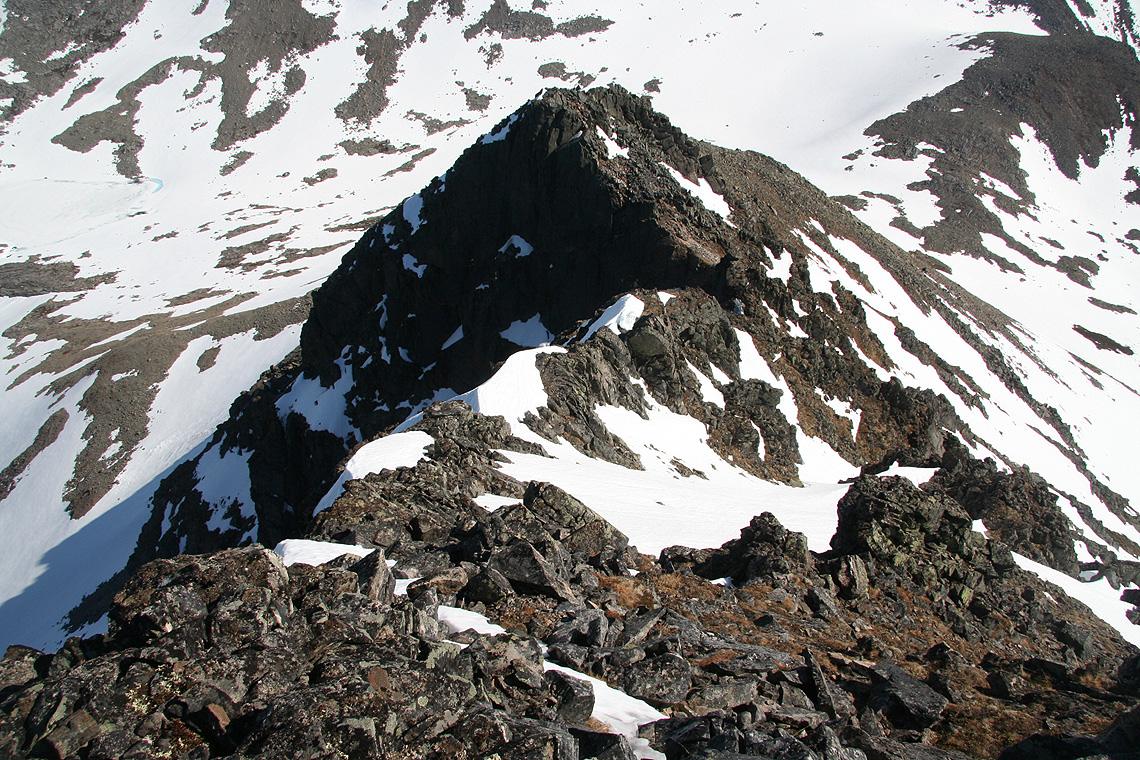
on rock requires care. Near the local summit, I was not surprised to discover that the true summit
was further left. The traverse was easy and after a couple of careful,
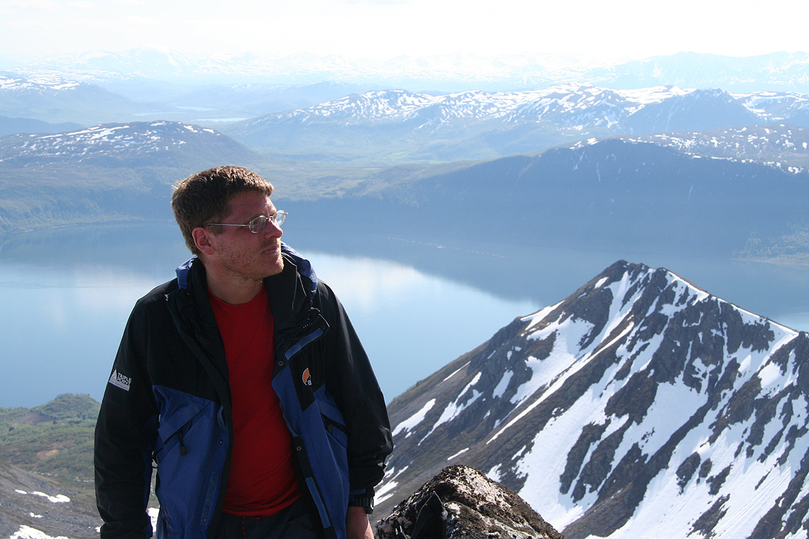
final moves near the wooden summit marker, I was happy to finally be there.
The time was exactly 12 - noon. Unfortunately, the
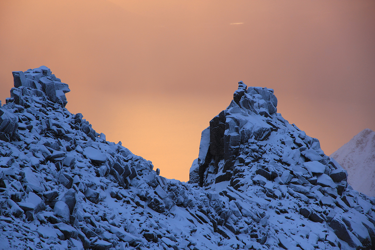
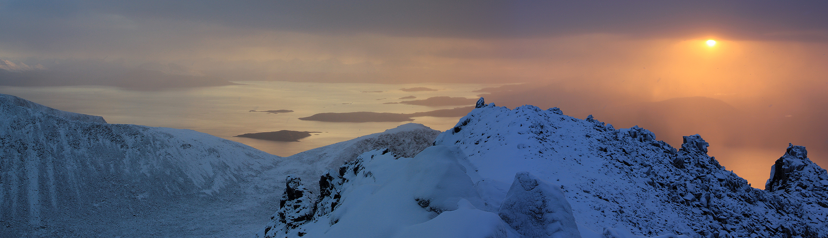
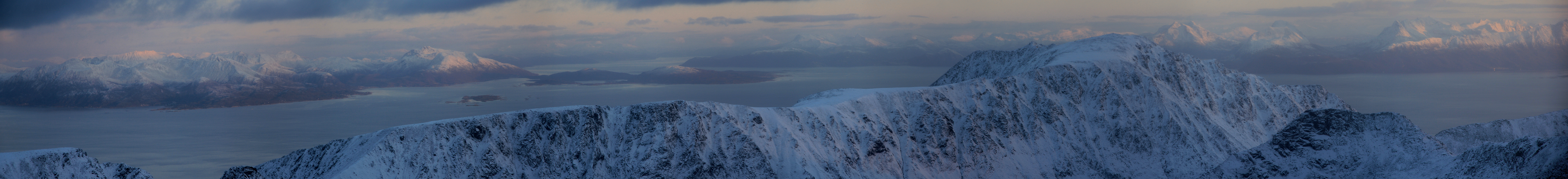
sun was behind clouds. This summit is rather jagged. A little further along
there is a sharper summit
that looked slippery.
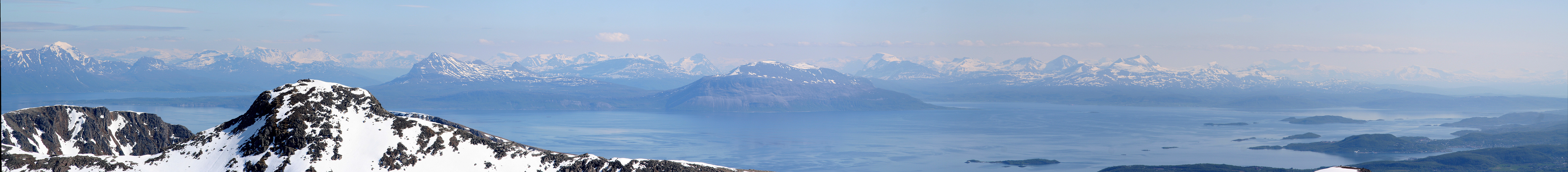
I took pictures and looked around and, in particular, down.
You really look down from this summit.
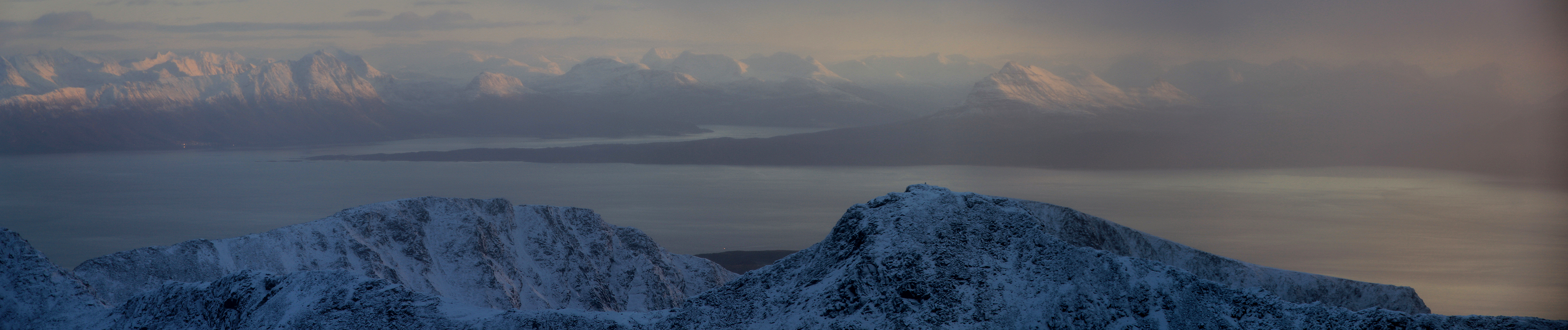
The weather was not as good as promised,
clouds almost everywhere and a slight tendency to new snow coming down.
I started decending at 1215. It was awkward with crampons so I decided to rather have a few, small slides. The ice
covered by snow made this a certainty. I took 2-3 falls with short slides on my way back down to where the
ski poles had been left. Each time the heart beat definitely goes up, but my ice axe always stopped me without
any drama. I found a higher and better
line for the traverse and hiked back to the car, arriving there at 1430,
just as the daylight came to an end.
My next objective was Langlitinden. I took the ferry back to Harstad, then the
45 minute ferry to the island of Rolla.