Location: North 60:30.607, East 006:01.751 (GPS at the summit)
Hordaland, Norway
Difficulty: YDS class 2
Climbed October 8. 2011
Information:
How to get there:
Drive E-16 from Bergen towards Voss. Turn right at Dale and take what used to be E-16 up the
narrow and quite spectacular road to Bergsdalen. Drive by lake Bergsvatnet on your right hand side and
watch for a small road going right as you have lake Vetlevatnet on your right side.
There is an easy to see sign saying "Høgabu". Park at the small turnout on the left side of
the road, this is the trailhead, location N60:32.682, E006:01.952, elevation about 535 meter.
Route description:
Cross the road and follow the small road signed for Høgabu. This route will take you across a bridge,
then across a second bridge, before the road gives way to a wide trail that climbs uphill on the left side
of the river. Just about when this trail levels off before it heads slightly downhill to lake Moavatnet, leave the trail
going left, and hike more steeply uphill to reach the ridge Moanovi. Here, you will locate another (small) trail that
runs south-west, later south as it climbs on the east side of the steep gorge Moagjelet. Follow this trail until
you reach a small pond in the col between Storliknausen and Kjerringafjellet.
From here, head uphill towards the col between the north summit, Såta, and the higher south summit.
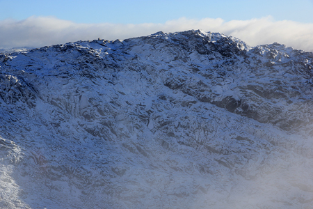
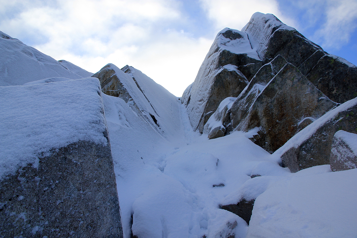
The terrain is quite cliffy here,
pick your route carefully. Find a passage climbing right and pick your way between
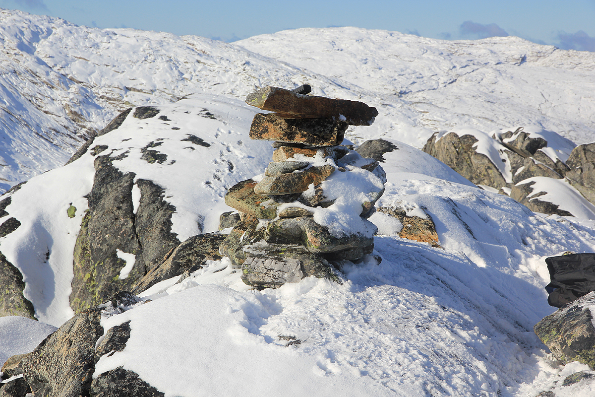
huge boulders to the fine summit. Comments:
I came across from the higher Storliknausen and made the summit by 1245.
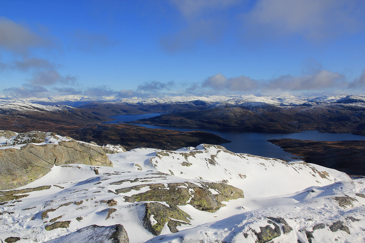
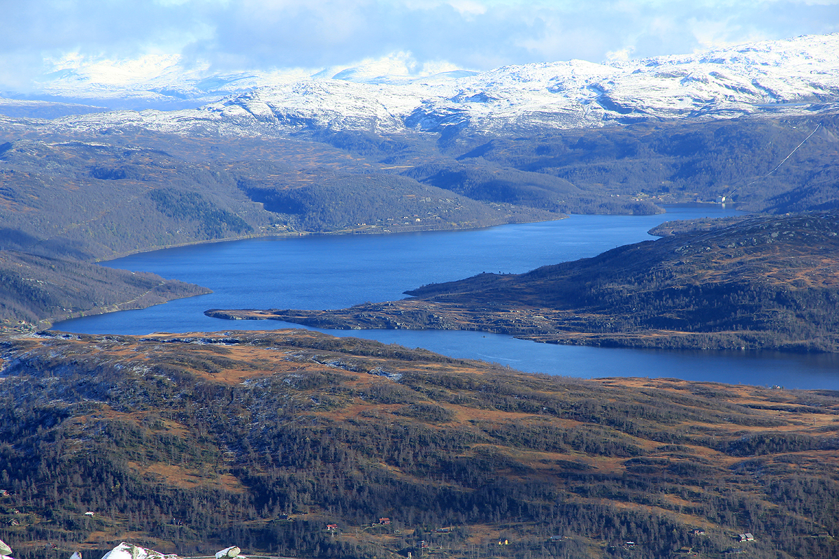
The weather was now gorgeous and I took a 360 panorama picture.
The view, with snow higher and deep brown
fall colors at lower elevations mixed
with the blue lakes is a strong reminder of the qualities we have in Norway.
Leaving
at 1300, I descended the same way and hiked back to my car by 1500.