Location: North 60.81329, East 006.80995 (GPS at the summit)
Voss, Norway
Difficulty: (YDS) class 2
Climbed February 19. 2017.
Information:
How to get there:
From Bergen, drive Hwy. E-16 to Voss (about 100 km), then continue past
Vinje (traffic circle) to Oppheim. Continue along the left side of
lake Oppheimsvatnet, still on E-16. From the location where you leave
this lake, drive about 1.5 kilometer more, then look for a road forking
right with a sign reading Brandset. Take this road, continue straight (uphill)
in a couple of road forks as the road climbs higher on the right hand side
of the main valley. About 1.5 kilometer after the last fork, you will find a parking
area on the right hand side of the road. Immediately thereafter, the road
crosses a small creek on a bridge, there is a gate here. Just park at the parking lot,
this is the tarilhead, location N60.77831, E006.70009, elevation about 570 meter.
This area is a military range, if there is military activity, then check the
route with some authorized person in order to avoid conflicts. The military seems
quite friendly and helpful co-existing with outdoor activities.
Route description:
There are several possibilities. The most direct route on skis goes as follows:
Continue on the (military) road east, until this road turns more south-east (about 750 meter).
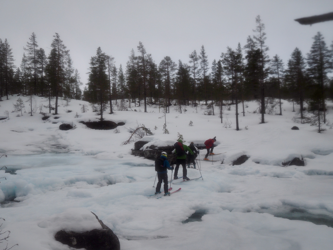
Leave the road and cross the river,
continue in nice and easy terrain with pine trees north-east,
passing nyestølen. Stay left (west) of the main river, Ådnakkaelvi, until about elevation
860 meter, then ascend into the big basin that gradually steepens ahead. Heading more or less directly
in the direction of Kaldanuten, a good route runs uphill in a nice gully south of point 1333 (on the map).
Following this, north-east to the small pond in the col south of Kaldanuten (between the two summits that both
exceeds 1420 meter). Turn north, and ski the short, remaining distance to the summit, marked with a low cairn.
Comments:
I organized and led this trip as a Bergen Mountaineering Group outing. After the normal, late
cancellations (most likely due to a miserable forecast), we were a group of 12 leaving Bergen at 0800.
The drive was OK, but a possible sign of trouble when we turned off the main Hwy. to access the local
road serving our planned trailhead. Two MPs (In Norwegian this means military police), where stationed
right there. A military exercise had just started up in this mountain area and by the way, a very careful
inspection of the map revealed that our planned trip was on an army training area. This surprising
fact could spell trouble.
I stepped out of my car with the clear intention
to convince these army people that we could carry out
our planned ski trip, hopefully without much interference with the army activities. Small world, as soon
as I got close to this one soldier and discovered that he was a student in my (CS) department. Not only
in my department, but actually a student that I needed to supervise.
I smiled and told him: "You need to fix this if you want a degree", the other military personel most
likely thought about military degrees, while my student got the point. He called and then reported that
I should talk to the command at the next higher camp. A slight change of route after discussing this with
some guy in command, and we were all happy. I told my group that I had reached a peaceful agreement
with the army and that we could proceed with our ski climb.
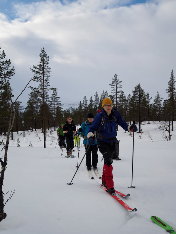
We left around 1100, this type of trip has gained in popularity,
5 female and 5 male participants, most
with randonnee equipment.
The trip went quite well. There was a brief period with sun as we skied up
through nice pine forest.
The conditions could remind about Easter.
Wet snow and above freezing temperature. Quite a few smaller
creeks to be crossed, normally at this time of year, they should hardly be visible. However, this
year the snow cover is minimal and most creeks would still run in deep trenches.
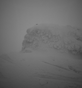
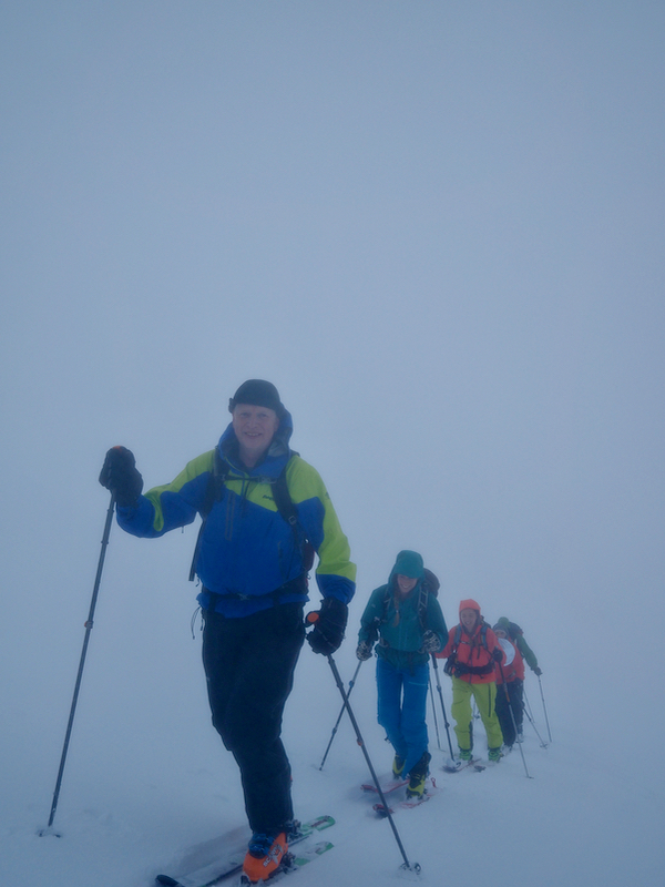
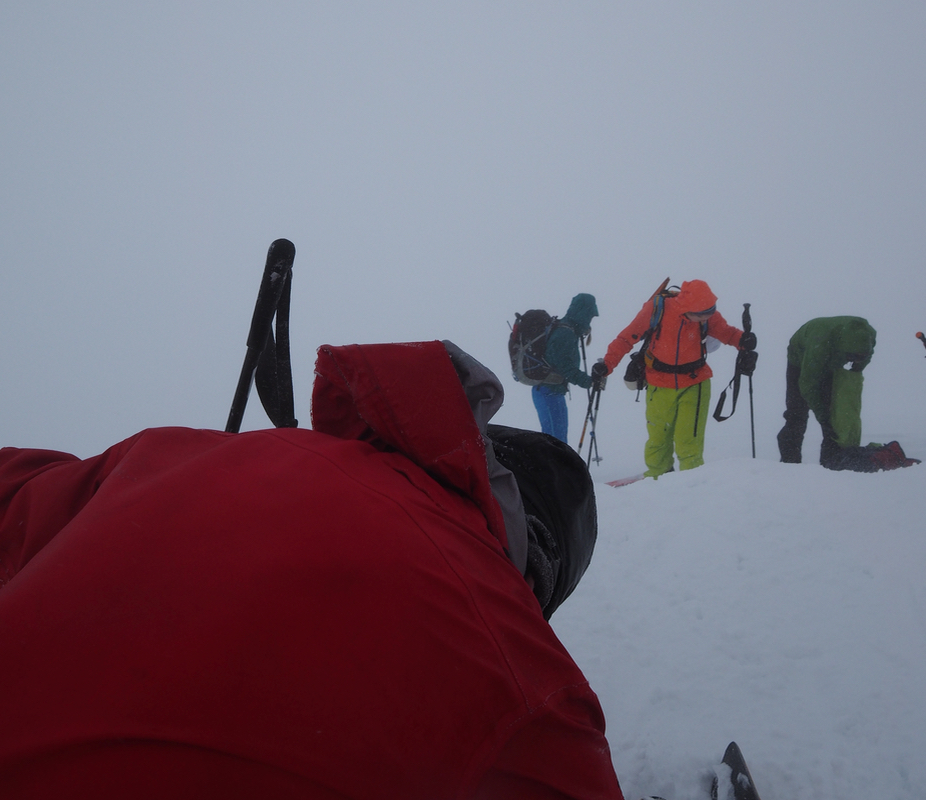
We skied uphill and into the fog, arriving
at the summit around 1400, so 3 hours up. The skiing back down
was heavy with about 30 centimeter of wet snow plus limited visibility due to the fog. As we descended,
the view cleared and skiing became easier. Everybody back at the car by 1600. The forecast had
been pretty bad, but everyone seemed to enjoy the trip and the experience.