Location: North 60.49158, East 006.54292 (GPS on the summit)
Difficulty: YDS class 2
Climbed on October 1. 2017.
Information:
How to get there:
Starting from Voss, drive through the center of Voss (in the direction of Granvin).
Cross the bridge and then turn right followed by forking left. The sign should
read "Rong 15". Measure from here. Drive 15.4 kilometer to Rong, proceed straight,
then slightly left to locate a self-serve mountain toll road. The sign says (2017)
NOK 30 to be left in a metal box.
This road is well maintained and fine for ordinary cars. Continue passed the small
lake Furevatnet (616m), then turn right after a few hundred meter, at Øyaset.
Park off the road on the left, at location N60.51085, E006.52900, elevation about
619 meter.
Route description:
There are many variations, one may start out by following a trail
that ascends on the left side of the river, then gradually turns
more left (east). There is a cliff band near 1000 meter of elevation,
you need to find a route up this, the best spots are likely a bit
to your right (west) if you cannot proceed directly uphill. Finally,
traverse broken terrain with several smaller cliffs in order to
reach the summit area. There are several small, local tops, the map
says that the middle (location N60.49225, E006.54193) is the higher.
Visit all of them, the one closer to the
Hardangerfjord, (location N60.49158, E006.54292) provides the best view.
Comments:
I was spending the weekend with Steffen (from Heidelberg) and Rob (from Bath).
We had all attended the ENUMATH conference at Voss and Rob and Steffen wanted to
see fjords and mountains. The original plan had been to visit Dyrehaugsryggen today,
but after our trip to Fanaråken yesterday,
it was clear that a hike in better weather was much desired. Steffen had to return, thus
Rob and I drove across Filefjell and back to Voss looking for better weather and more
friendly terrain.
At the local trailhead, a farmer approached us. He was looking for two missing sheep.
The sheep had been taken down from the mountains (before winter), but two were missing.
We told him that we should look for them and he gave us his mobile phone number and
asked us to call if we were able to locate them.
Starting out at 1245, we ascended along a trail, then terrain directly uphill. Then before
reaching the cliff band, Rob spotted something whith off to our right side. We detoured that
way and found 4 sheep, one with a bell. We called the farmer, he was not too enthusiastic
since these were not his sheep. In any event, we hoped that he would notify his neighbor.
After a bit of scrambling (we ended up on different routes),
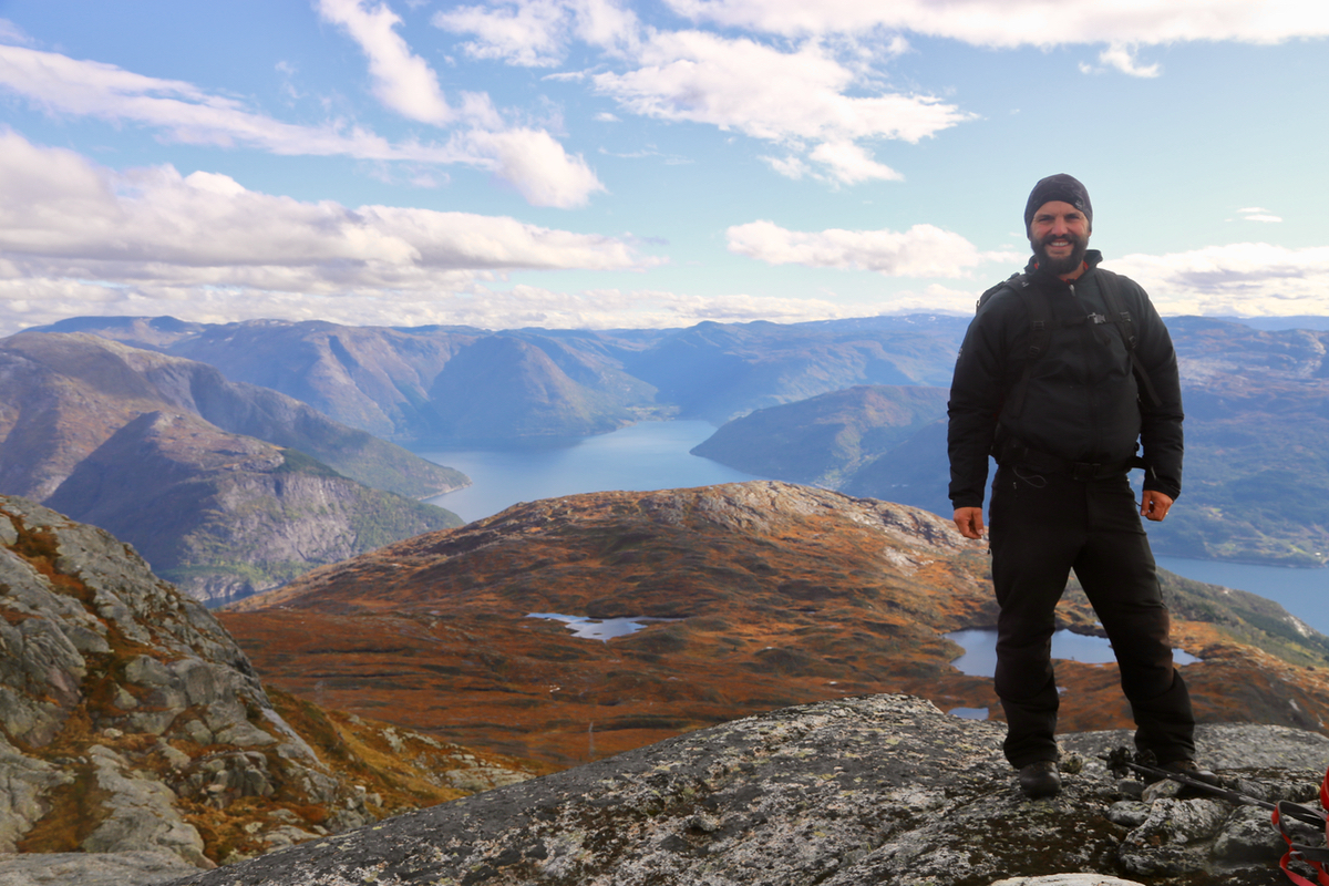
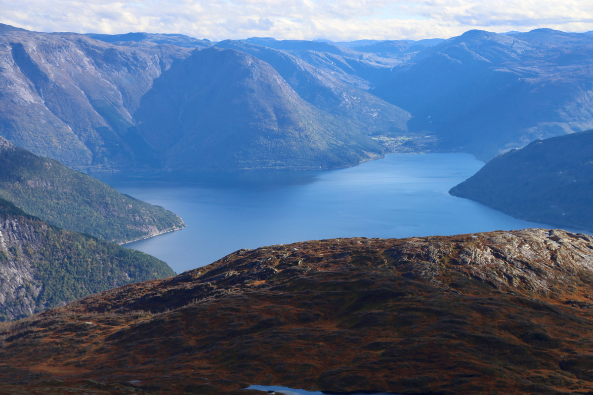
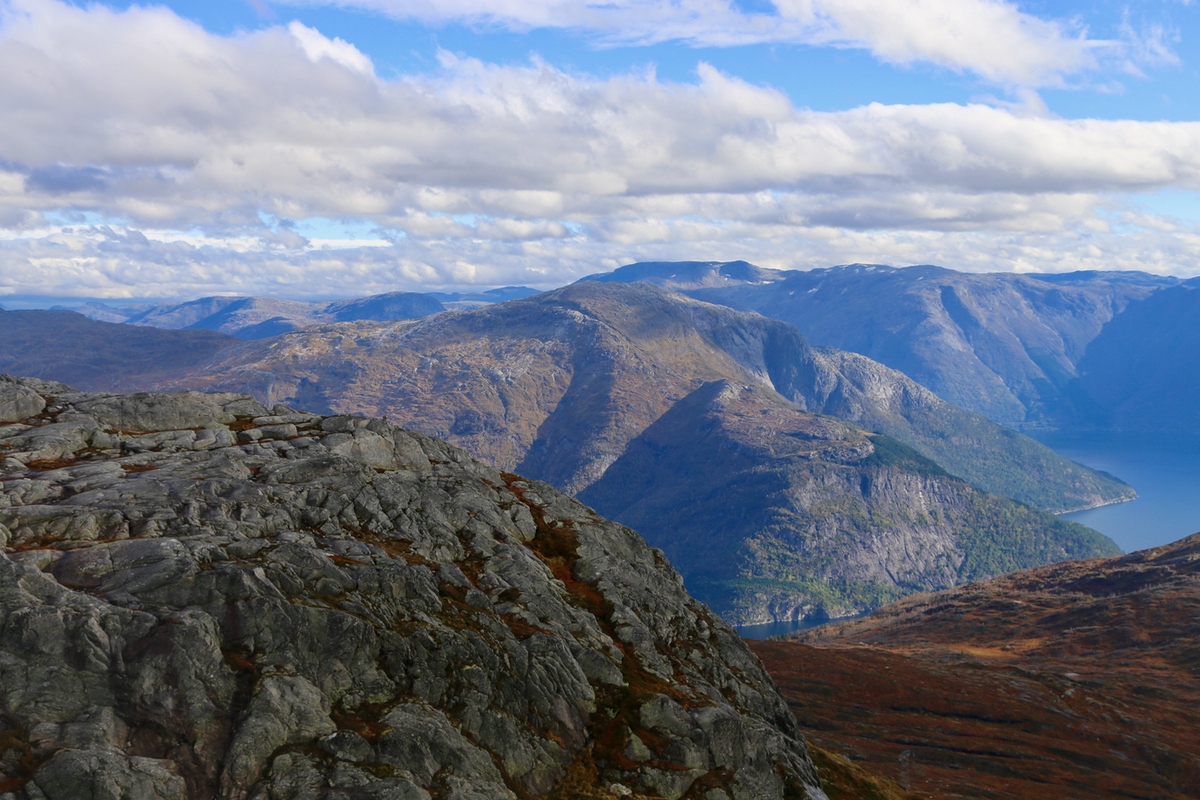
we arrived at the summit points
around 1420. Nice views, in particular
to the Hardangerfjord and to the nice mountain
Oksen.
We continued to Grim at 1435.
