Location: North 64:36.162, East 012:43.619 (GPS at the summit)
Grong, Norway
Difficulty: YDS class 2
Climbed September 11. 2011
Information:
How to get there:
This mountain, the highest in the municipality of Grong, is located near (east side)
of Hwy. E-6, north of the village Grong. Coming from the south, locate the intersection
with E-6 signed for Namsos (road going left). Measure from here. Drive 21 kilometer
north on E-6. You should now be at location N64:35.240, E012:33.721. Turn right here (small farm road)
and follow this road (left, then right) until it ends at kilometer 22.2. This is a trailhead,
location N64:35.174, E012:34.906, elevation about 135 meter. One
can easily make this climb from here. Obviously, there are other alternatives, but this location, away
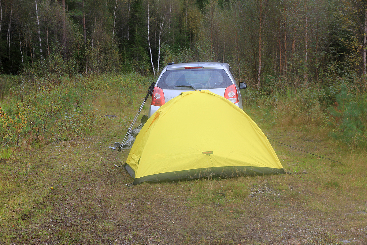
from the busy Hwy. E-6, also served me well as a place to camp overnight. Route description:
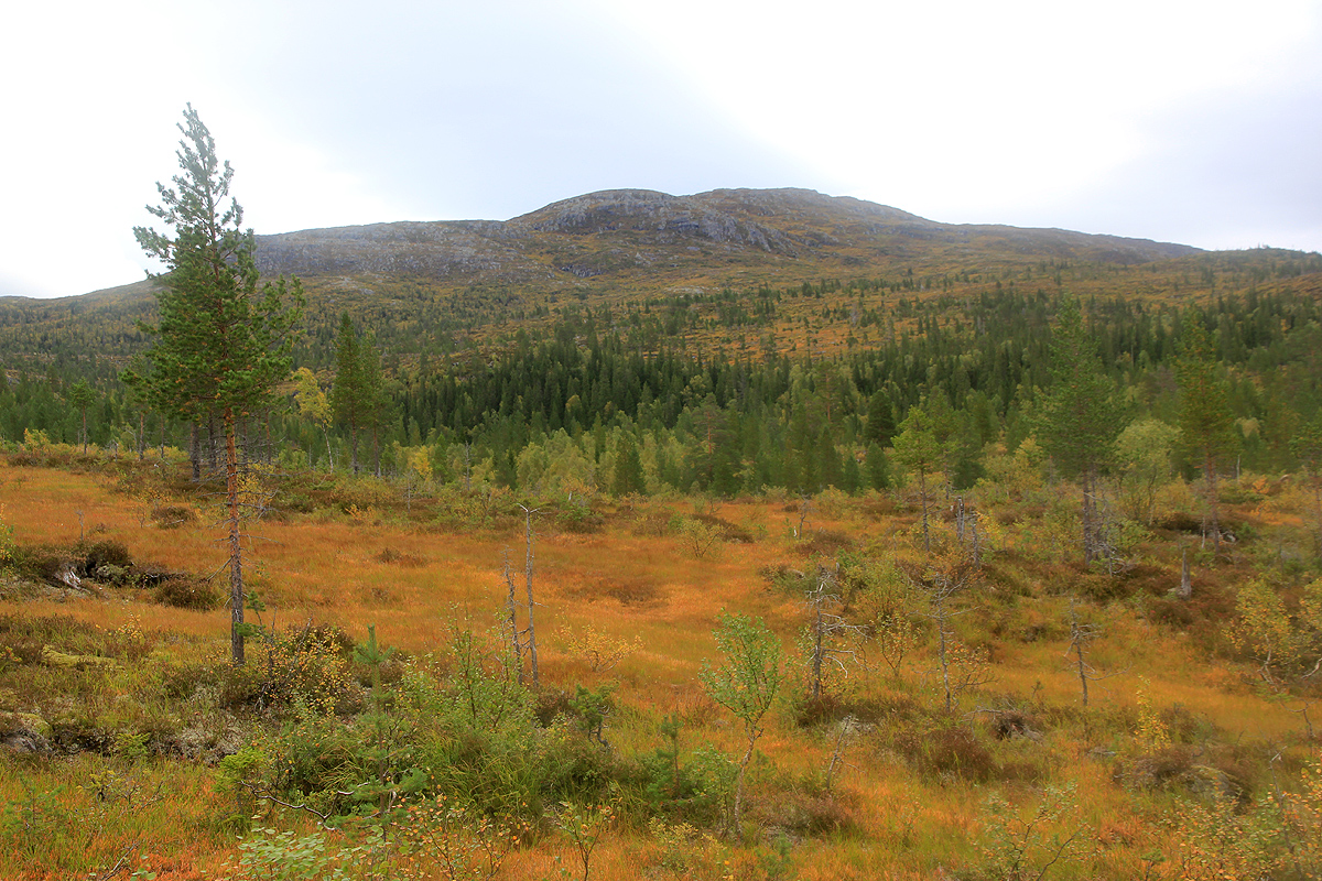
From the trailhead, take the leftmost forest track that leads gently uphill. Soon, you will
emerge on open wetland and see the first
mountain, Litlheimdalhaugen, 886m, in front of you.
This mountain has a ridge extending left (west). Pick your way across open land and ascend this
ridge where it looks convenient. I ended up close to where it looks as if the ridge connects with
the mountain, but a bit further west is also clearly possible.
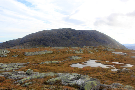
Follow the ridge up to the pretty large and generally flat mountain top.
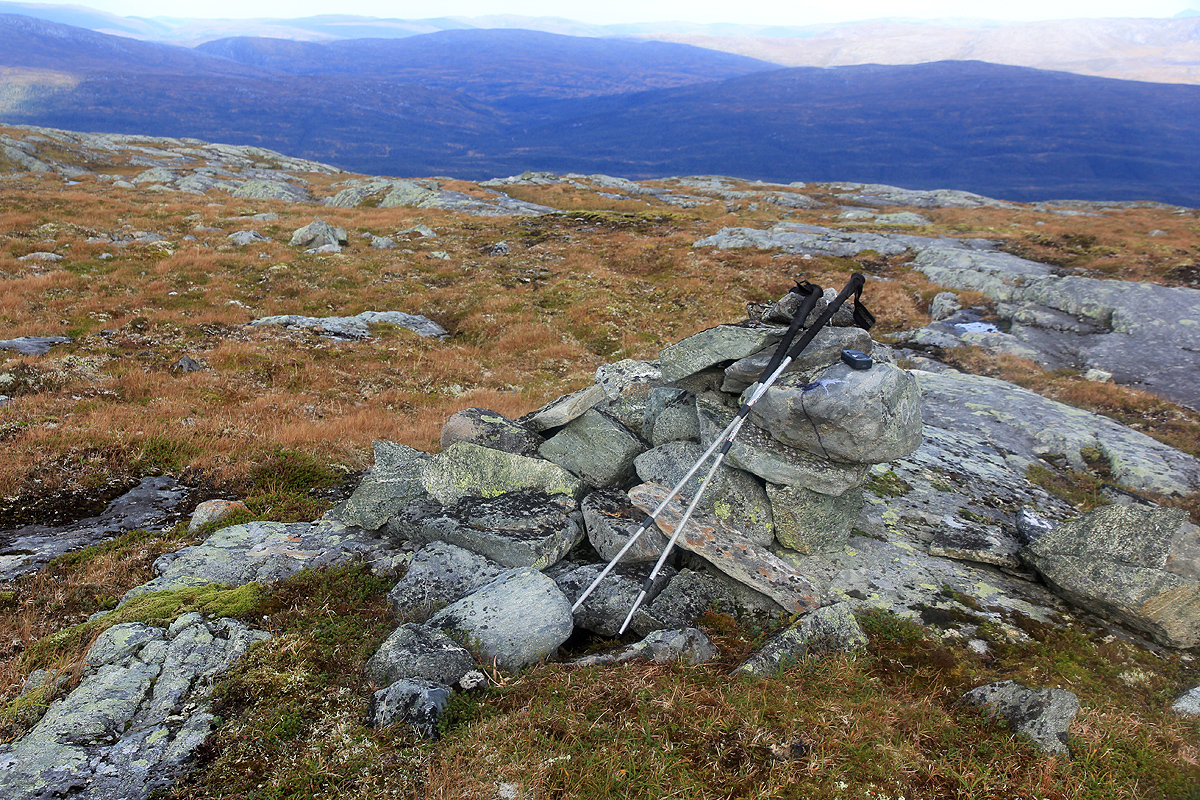
There is a small cairn marking the 886 meter summit.
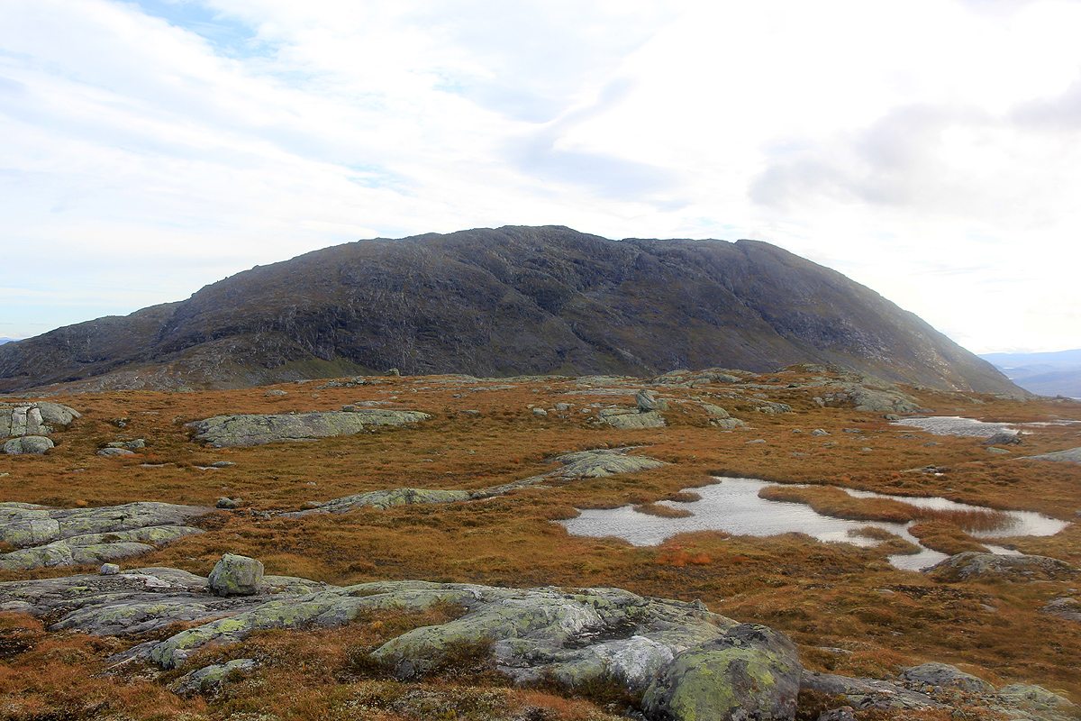
You can now see the goal, Heimdalhaugen, across
the connecting saddle. Descend to the wide and fairly
broad saddle, the map says the lowest point is in the (780-800) range, my GPS recorded 789 meter.
Thus, it is most likely that Litlheimdalhaugen has prominence just short of 100 meter, and I will
not include it as an independent mountain.
Continue up the ridge towards Heimdalhaugen. There is a short, slightly steeper section quite in the
beginning, however, there are traces of a trail and the route remains (YDS) class 2.
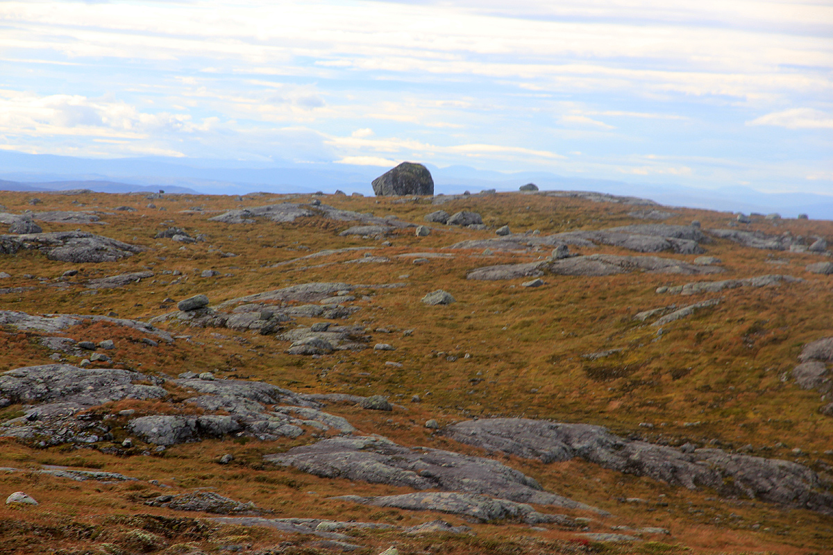
Higher up, there are multiple routes and several bumps on the ridge that turn out to be false summits.
Most likely, the best route stays mainly on the right side of the crest as you approach the summit.
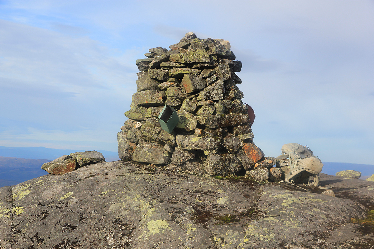
The summit has a nice cairn and a well maintained trail register.
Comments:
After an 11 hour hike of Kvigtinden the previous day, I wanted
a shorter hike before visiting my friend Jostein in Trondheim. The obvious choice was Heimdalhaugen and I
therefore camped at the trailhead the night before.
I left at 0545 and picked a good route that got me to the top of Litlheimdalhaugen. From there, the drop to
the connecting saddle looked bigger than I had envisioned, in fact, I guessed that
the prominence of Litlheimdalhaugen would exceed 100 meter. The final ridge to the summit of
Heimdalhaugen worked fine until I expected the summit to be quite close. A sequence of false, but fairly
complex summits followed. A bypass on the right hand side had been effective, but I scrambled up on each
of them only to find out that there was still higher terrain ahead.
I arrived at the summit cairn precisely at 0900 and felt happy about my plan to be back at my
car before 1200. I signed the summit register and noted that a small party had been here earlier in
September. The return hike was more efficient until I was back on Litlheimdalhaugen. From there, I wanted
to improve on my way out. However, I totally missed on navigation. First, I got off the ridge in a very
steepish place, forcing some traversing and generally this got me off route. Next, my new route took me
across several complex sections with steep hills and dense vegetation. Add to this a creek that ran
in its own little canyon, after my third crossing, I was less than pleased. Finally, I found myself in some
dense vegetation with a GPS telling me that my car was only 60 meter away.
I was back at the car by 1200, but not very happy with my recent navigational performance.