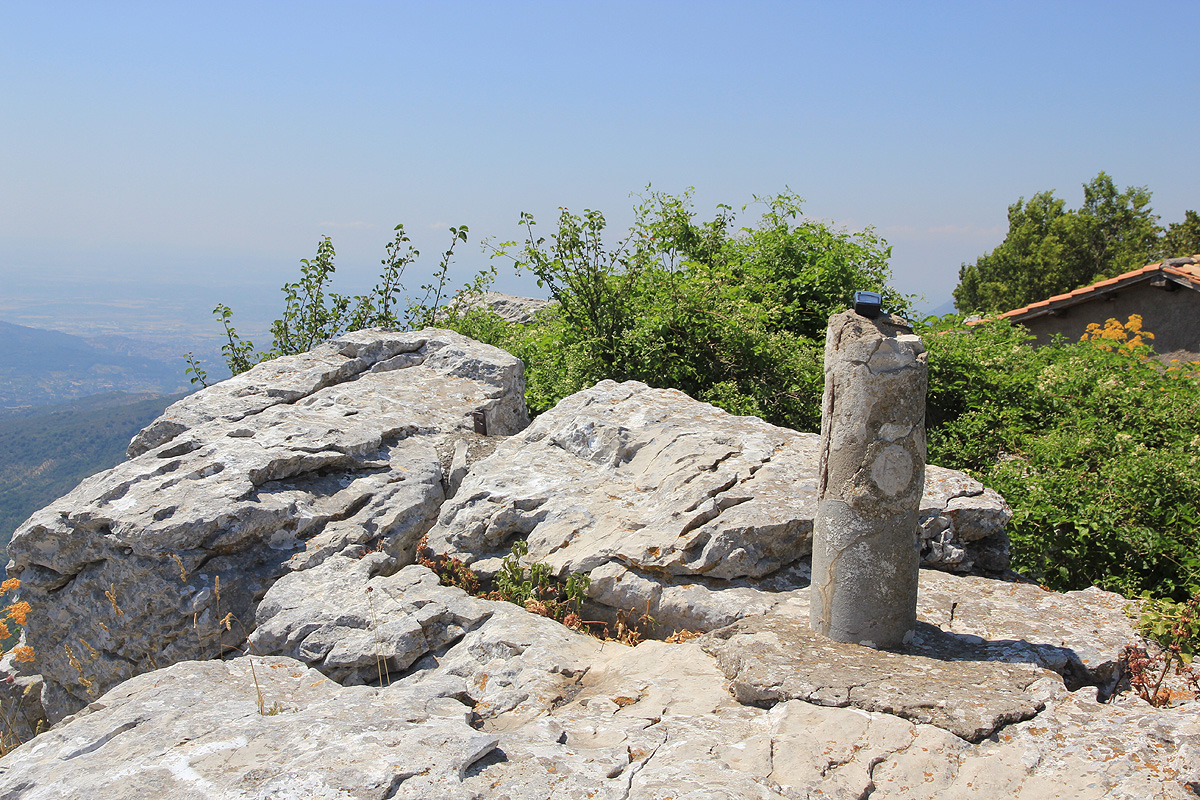
Location: North 41:54.789, East 012:55.636 (GPS at the summit)
Between Pisa and Rome, Italy
Difficulty: (YDS) class 1.
Climbed July 6. 2012.
Information:
How to get there:
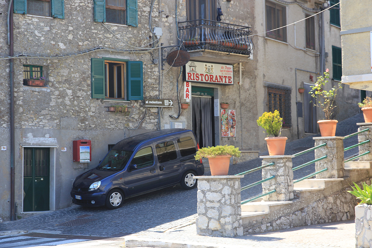
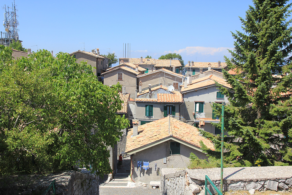
This top is in the middle of an old village, Guadagnolo, located about 50 kilometer directly east of Rome.
Drive east on E-80/A-24, exit at Castel Madama and go slightly west on SP33A in order to connect
south (crossing the Autostrada again) to locate SP53A, look for signs to Guadagnolo. This road will
climb a big hill. Drive until the road ends in the village of Guadagnolo.
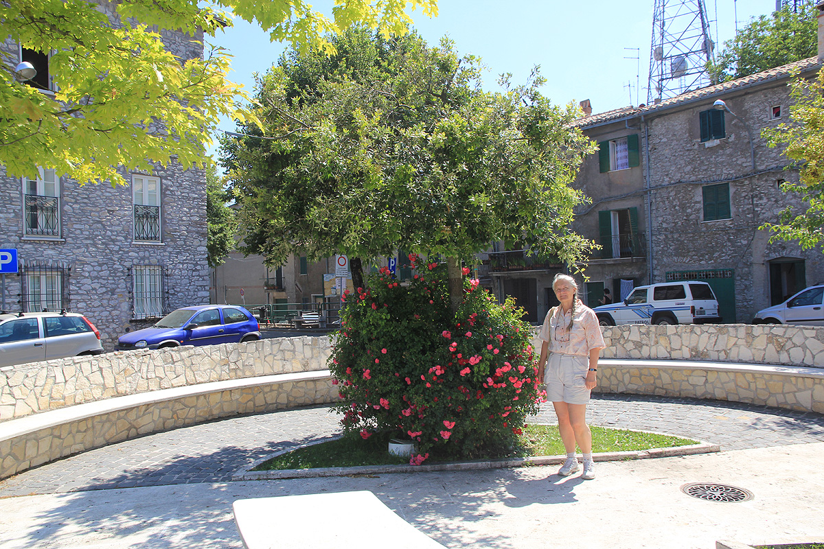
There is a small traffic circle and nice flowers. Park here, this is the trailhead at location
N41:54.791, E012:55.715, elevation about 1205 meter.
Here is an overview of peaks climbed at my Europe 2012 summer trip.
Route description:
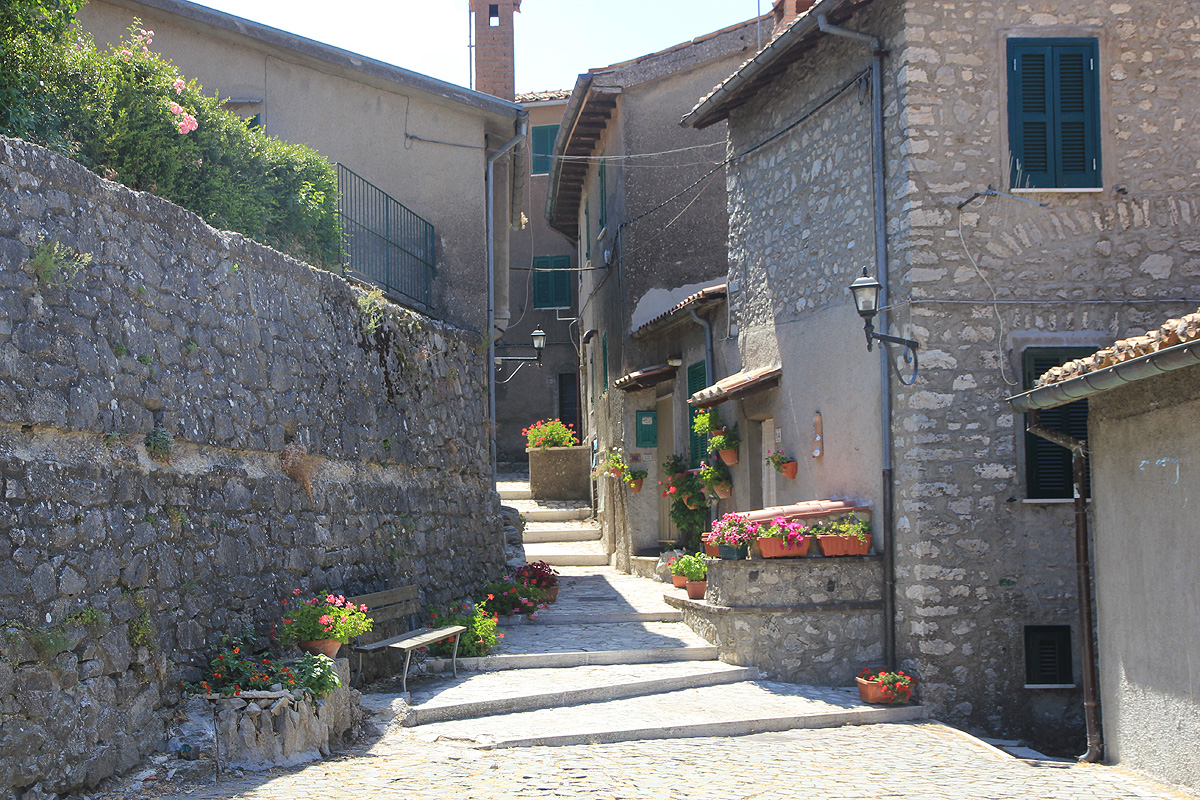
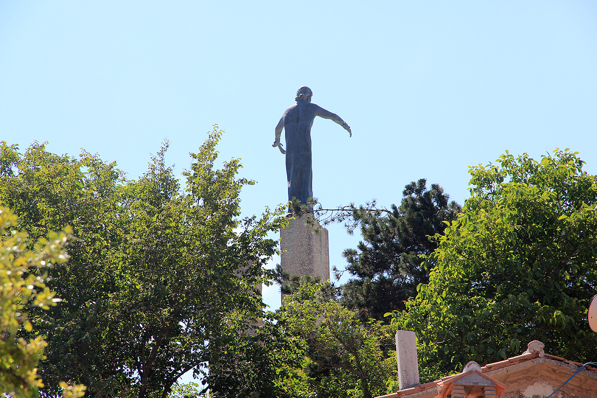
From the town square (where you parked), head up the obvious small street, then more left up
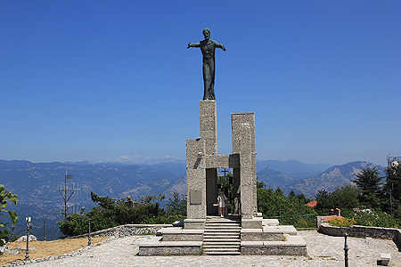
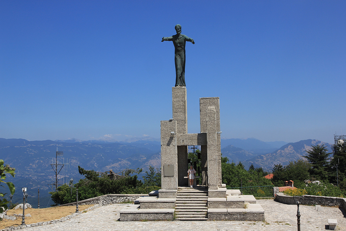
some nice and wide stairs. You will arrive at the summit plateau. There is a large and
impressive statue to
your left, while the summit high point is off to your right.
Comments:
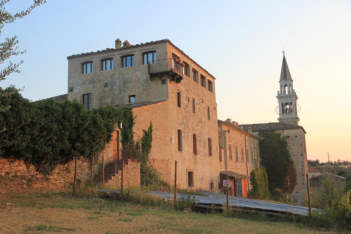
We drove here after visiting Monte Amiata and on our way to
find an old castle where
we planned to establish our headquarter for
a later climb of Monte Amaro.
It is rather unusual to have a mountain with prominence exceeding 600 meter, with
a small village
located at its very summit. We enjoyed
the short walk and the atmosphere of this
little village with its
very special location. At least, the people living here have a good
view around. (But quite an uphill when returning home!).