Location: North 38.57597, West 028.71338 (GPS at the summit)
Faial, Azores
Difficulty: (YDS) class 1
Climbed July 21. 2014.
Information:
How to get there:
Here is summary of my climbs in the Azores islands.
From Horta, drive inland and follow signs that read Caldeira. This will
get you all the way up to the crater rim and quite close to the highest
point along the crater. The location is N38.58036, W28.70627, elevation about
900 meter. Park here, there are marked parking spaces.
Route description:
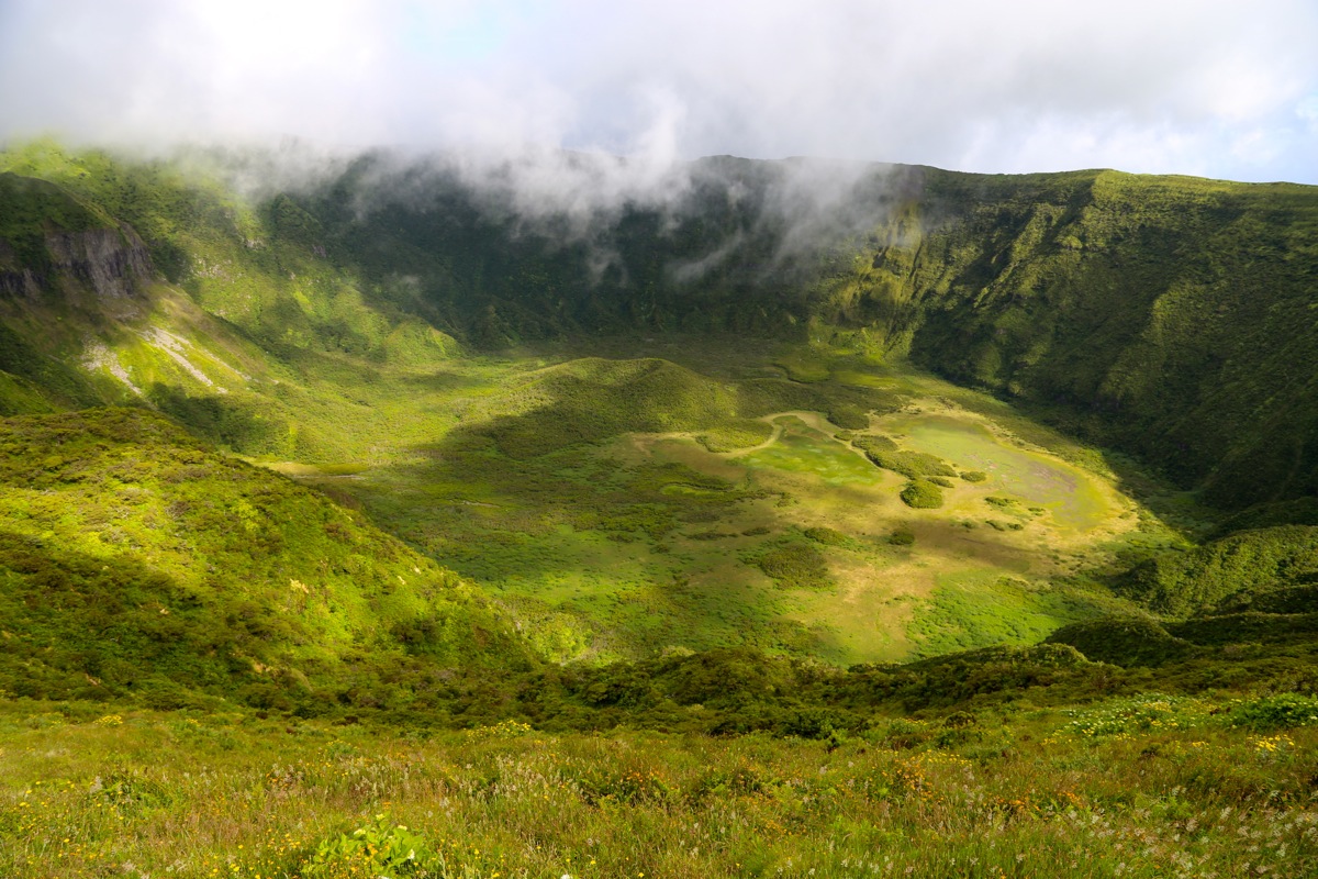
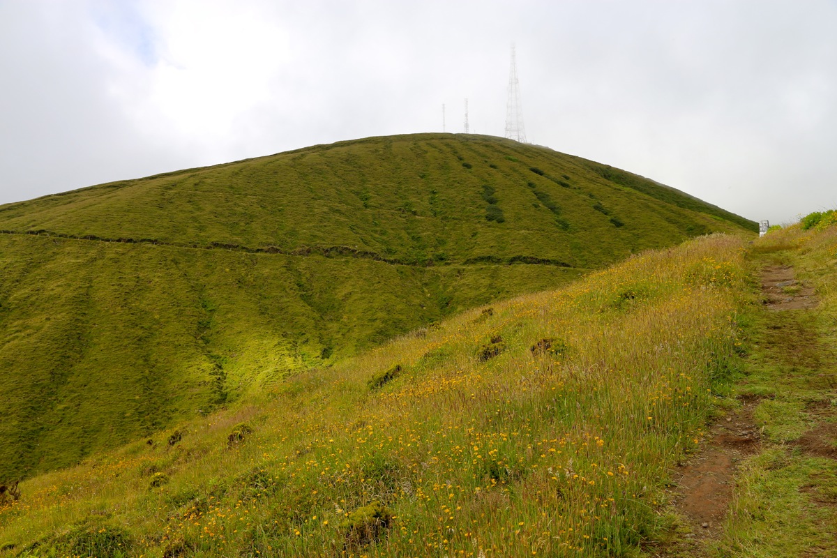
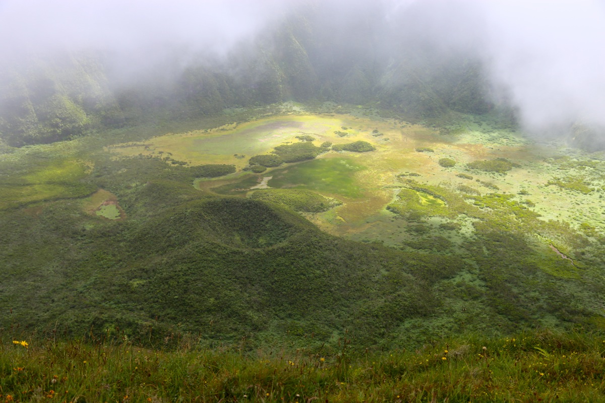
You will immediately see the very nice crater next
to the parking area. Going left is the
shorter route to the summit, while hiking along
the crater rim counter-clockwise would be the
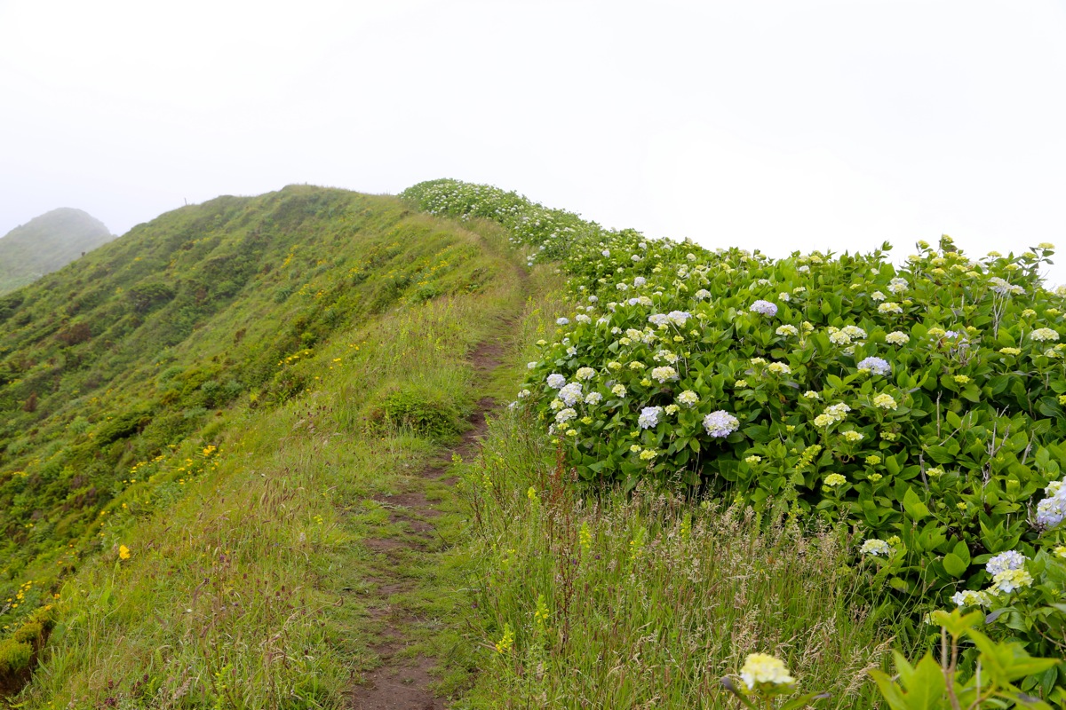
longer route. The trail is easy to follow all the way.
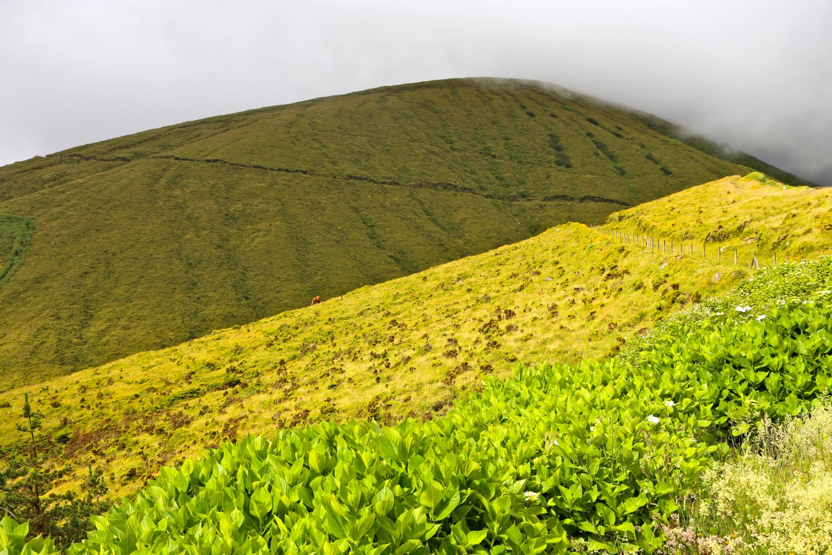
If you hike from the summit and want to continue (the long way) around the crater, then be
aware that the road you follow in the beginning will descend. Just as there is a road fork,
leave the road(s) follow the small marker poles and stay at the crater rim.
Comments:
I arrived at the trailhead around 1000, then continued
to the summit, arriving there
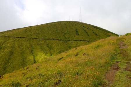
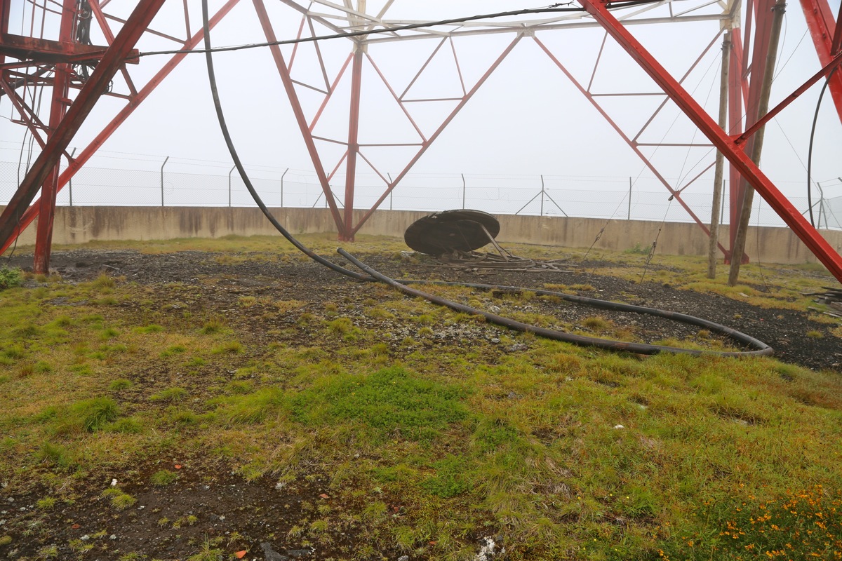
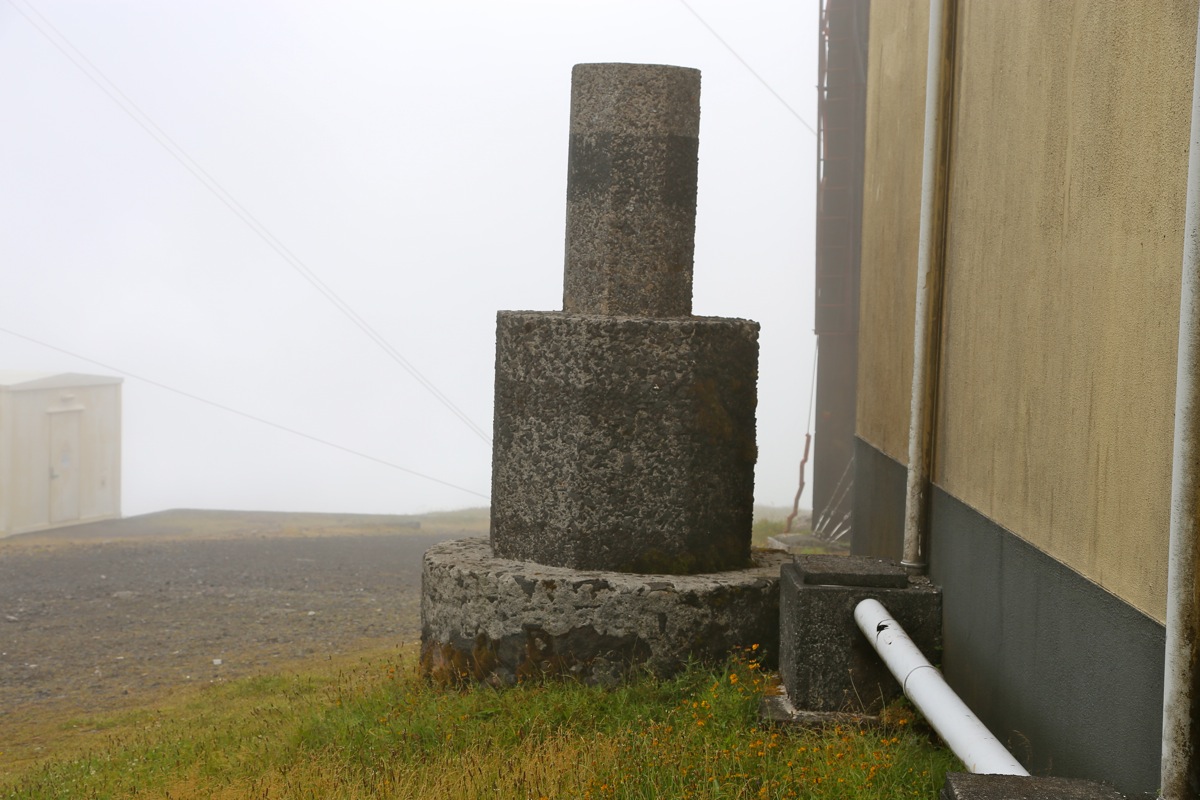
around 1015. The summit area is
indeed the ugliest place on this mountain with concrete
buildings and several antennas. There is a summit marker
right next to the building, the entire
area is quite flat. The point around the next corner of the building may indeed be equally
high.
I left around 1030 and continued the hike in order to walk all the way
around the crater.
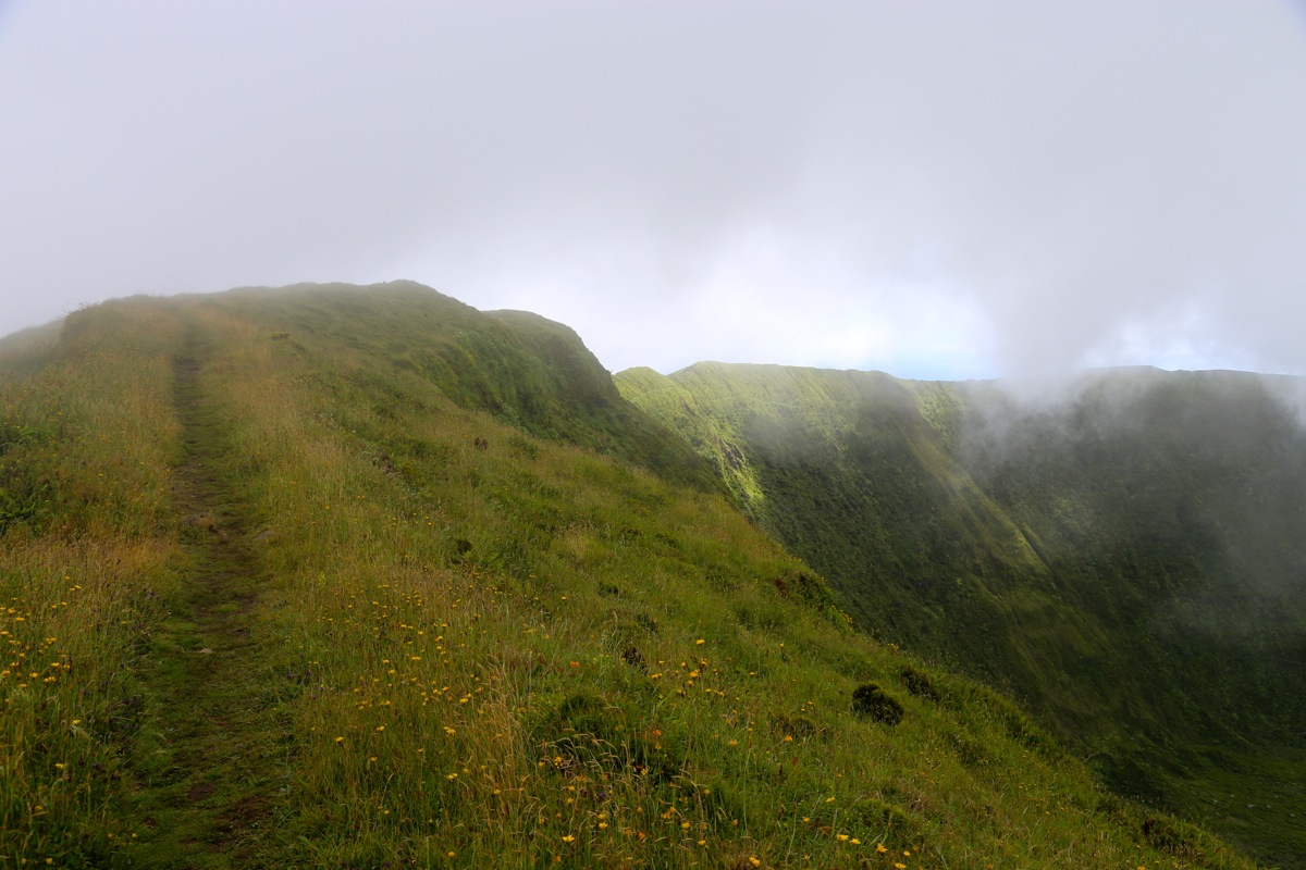
This walk started along a crater rim road, then continued as a nice trail. There are
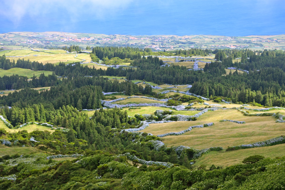
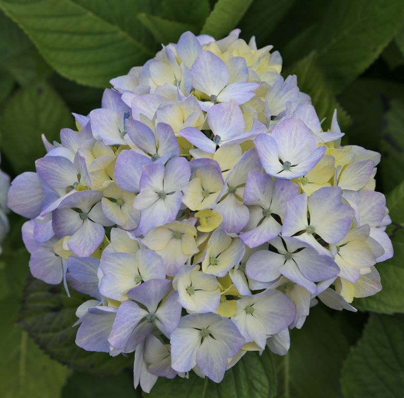
flowers all along and the
view into the crater as well as down to the coast is quite good.
I was back at the trailhead at 1150, more cars had arrived.
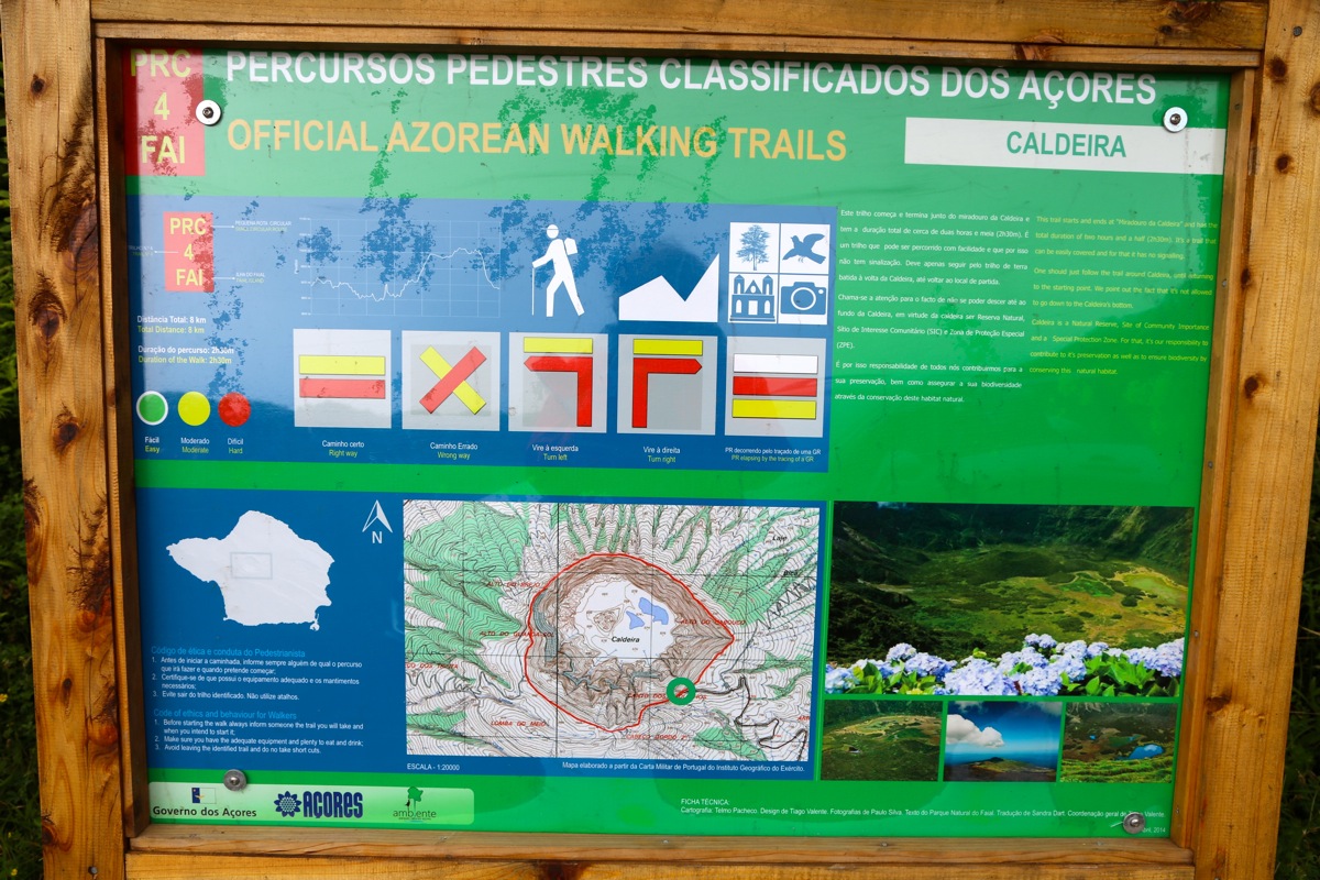
The official sign says that
this hike can be done in 2.5 hours, a very realistic estimate for most people.