Location: North 60.45107, East 006.40798 (GPS on the summit)
Climbed January 21. 2018
Difficulty: YDS class 2
Information:
How to get there:
This mountain is located directly above the small village of
Ålvik. Summer access may be possible from there. This report
describes a ski trip from the west.
Follow Hwy. 7 from Trengereid outside Bergen (on Hwy. E-16), passing
Nordheimsund. Drive across the old bridge at Fyksesund, shortly after
the bridge (less than 1 km), turn sharply right at a sign for Klyve.
The road crosses Hwy. 7 on a bridge then in the small place called Fykse, make
a right turn following signs for Bjørke.
Drive this farm access road uphill and almost to the end, then locate a small
area for parking on your left hand side at location N60.39766, E006.28471, elevation
about 280 meter.
Route:
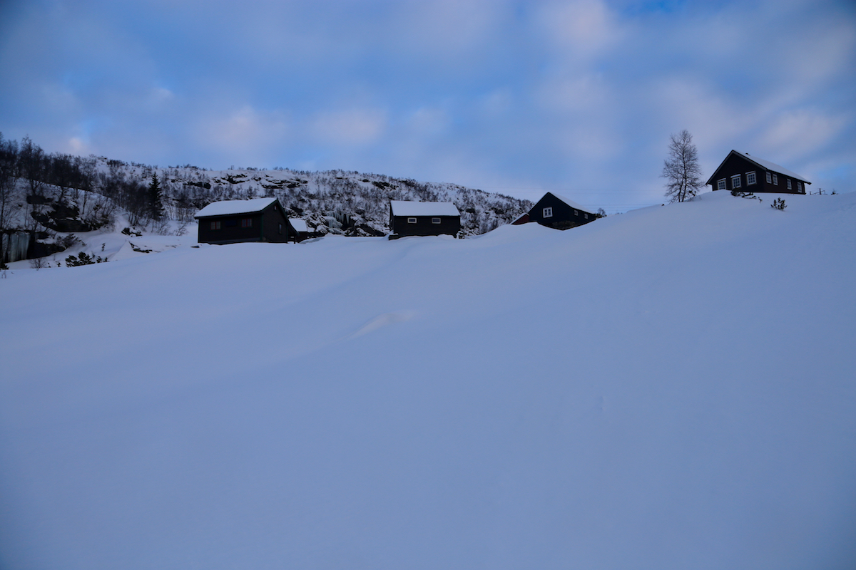
Take the small farm access road that runs uphill immediately before the parking
area. Follow it between the farm buidings, a rough farm road then starts out going right.
This road is often a ski track in winter. The trail, or ski track has a couple
of signs along the way reading Nyasete.
Continue passing Nyasete, keep north directly
towards a steep cliff. Before the creek that
comes down from the right (next to the cliff), ascend the hill quite steeply, gradually
getting closer to the cliff. This route is pretty good for skiing. Ascend higher to reach a
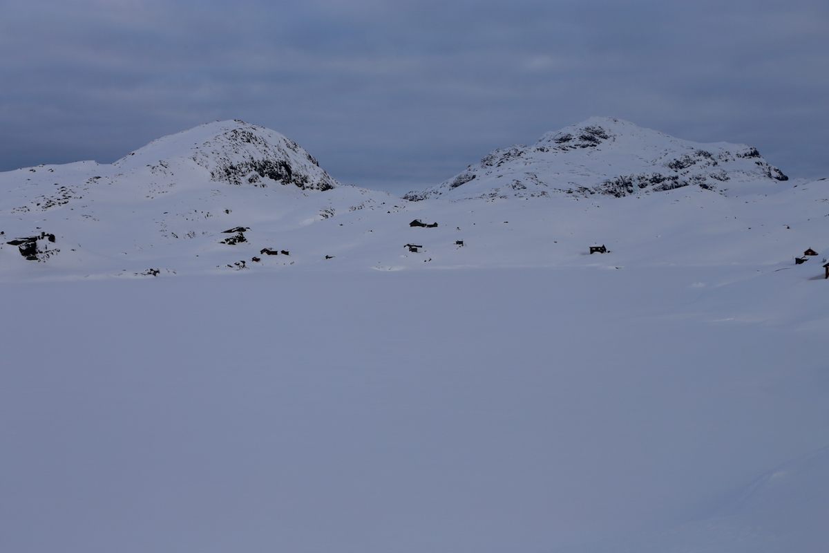
local col at about 730 meter. From here, descend along the small valley heading in the
direction of the small hut named Stavdal.
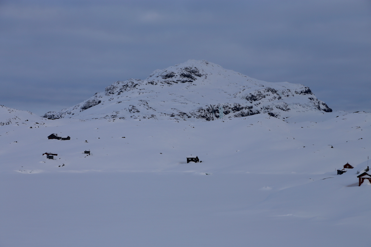
From here, the route follows a very distinct, pretty deep valley that cuts between the mountain
Gråeggi (left) and Storegreggen (right). Follow this valley
to the col then descend more
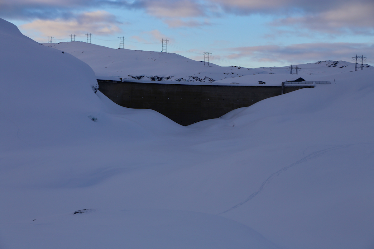
steeply to the lake Vetlavatnet. The lakes are regulated so be careful when entering and
exiting from the ice. Ski across to north-east via the more narrow part connecting to Storavatnet. Continue
along the shore passing two creeks that drain into the lake from your right hand side. Aim for the first
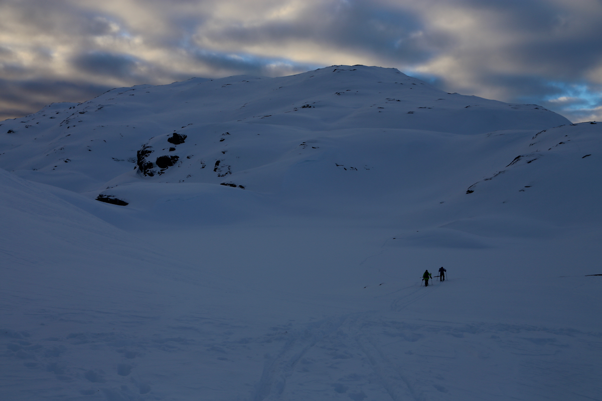
hut/cabin near the shore. Ascend while moving eastward to gain the main crest of the mountain, then follow
the broad ridge to the summit.
Comments:
This mountain seemed a bit out of the way, but a ski trip that also would include
Storegreggen seemed very tempting. As an added bonus
I could investigate part of the route to Gråeggi, this peak had been planned
for a mountaineering group trip later in February.
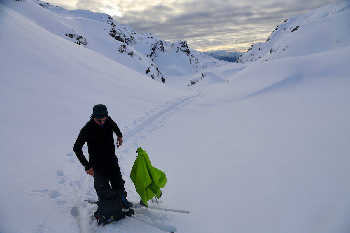
We (Fredrik, Thomas and me) left Bergen at 0800 and we could start skiing at Bjørke at 0945.
There was quite a bit of deep, new snow and we had to break trail all the way. The weather was ok,
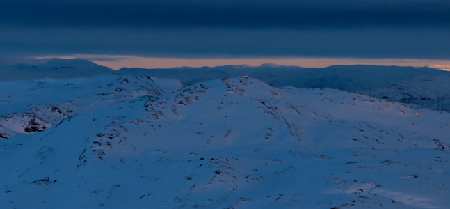
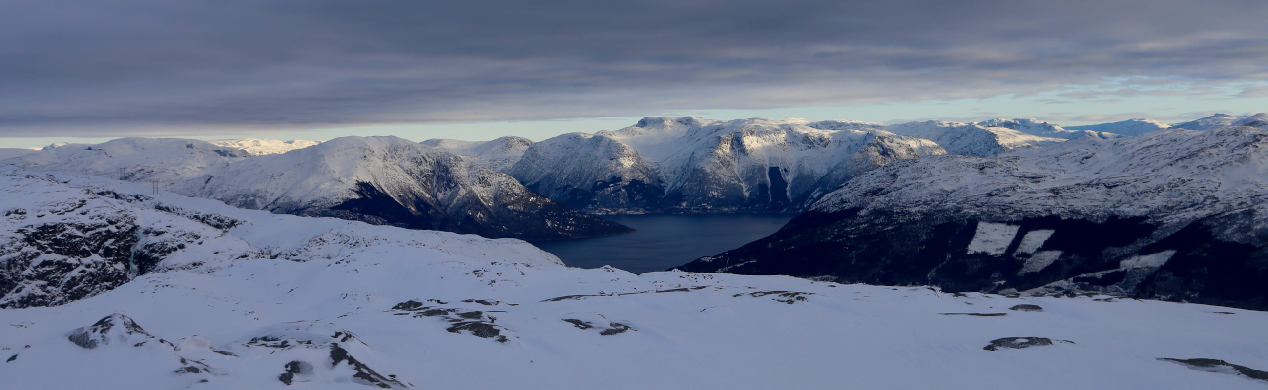
but not as nice as the forecast. We arrived at the summit at 1400.
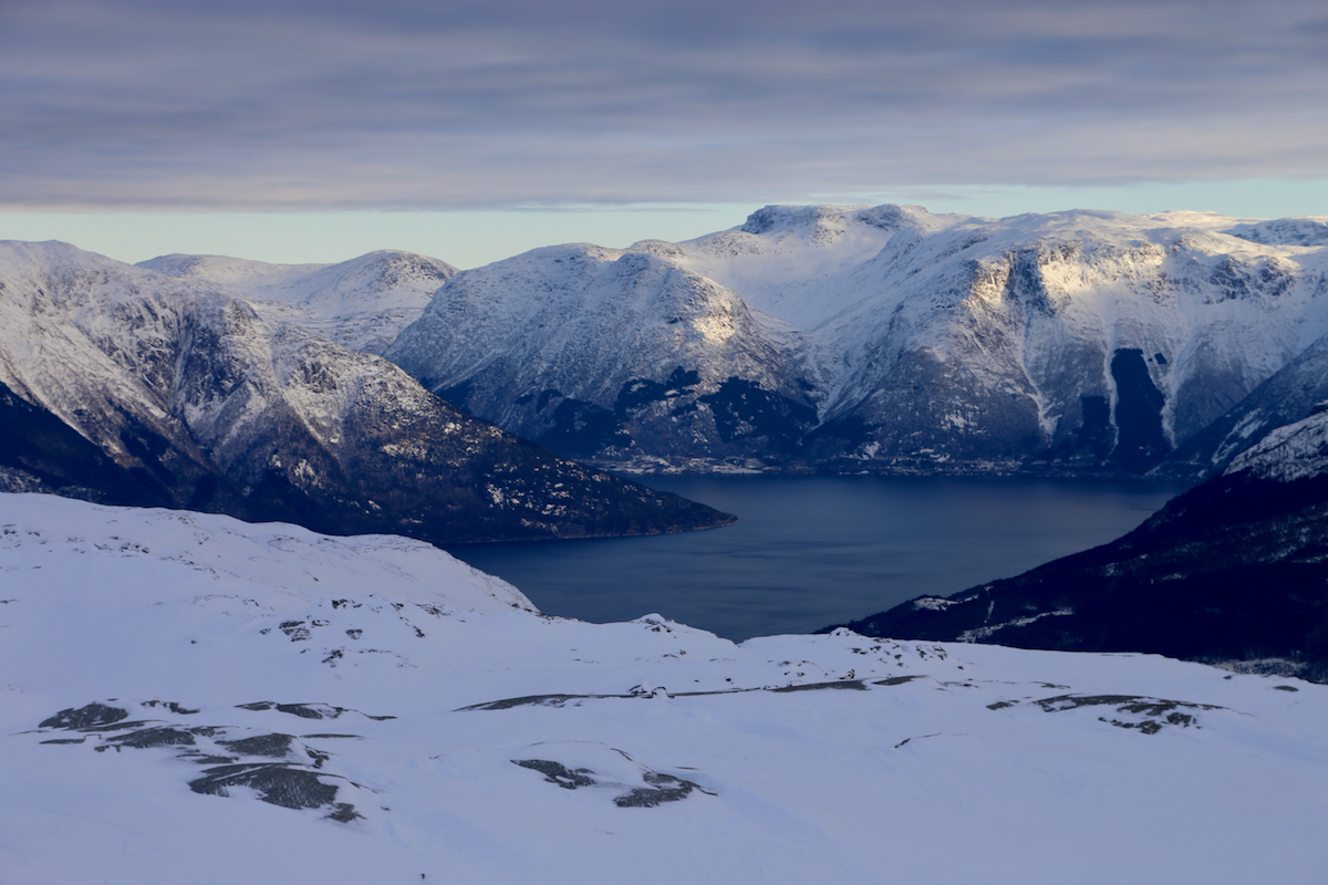
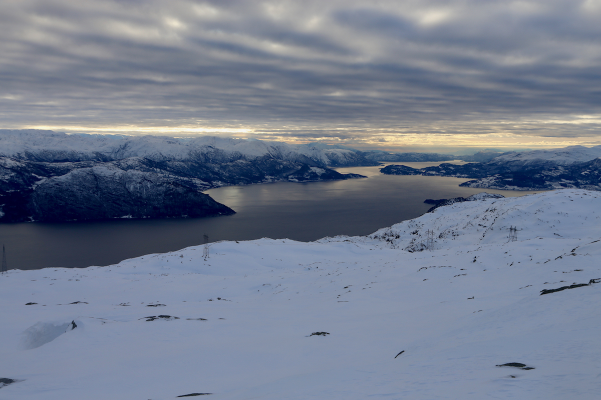
A 10 minute break to take in the view.
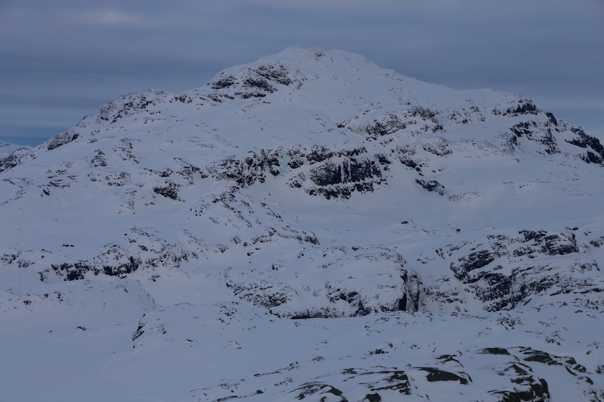
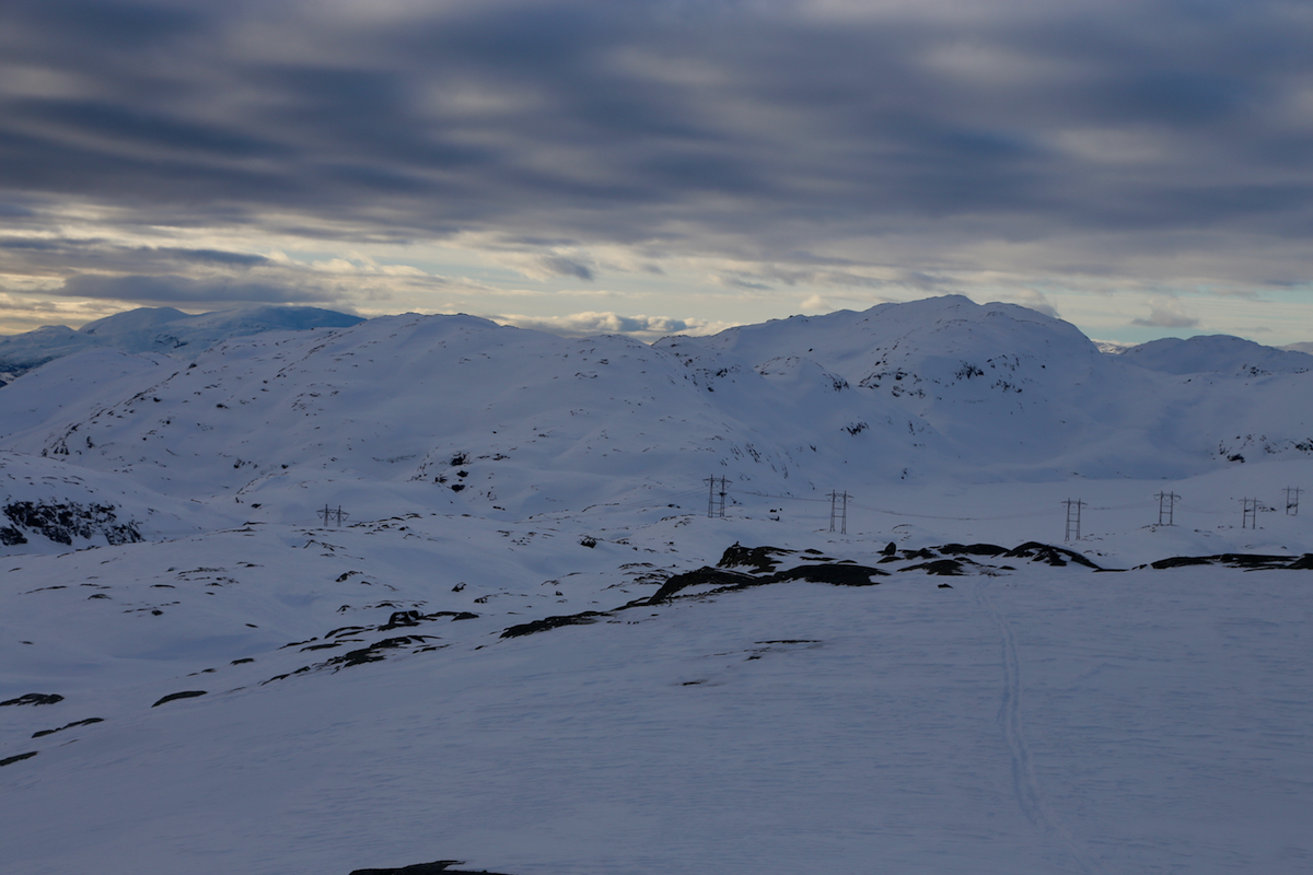
The big Karaldenuten was surprisingly
close and dominated the views inland.
We continued south-west, aiming for Kaldakjelen, then
across to Orfallet and up the ridge
to the first summit on Storegreggen, arriving there at 1600.
Proceeding to the next summit that seemed slightly higher and also had a better view,
we realized that it was time to start the descent in order to get back before it got
really dark. We had a nice ski back down and darkness was really not a factor except on
the last stretch from Nyasete through the forest and down to the car at Bjørke.