How to get there:
The best starting point is the (old) powerplant at Hornaberg.
From Bergen, follow E-16 to Dale, then take the old road to Voss
that climbs steeply up Bergsdalen (exit right through the town of Dale).
Drive to the north-east end of the large lake Hamlagrøvatnet, then
turn right (small paved road) shortly after leaving the lake. Note that if
the lake is low (it is part of a hydro power storage basin), then this lake
is divided into two lakes. Follow the small road to the east side and park at a
large parking area next to the very easy to see, grey power plant building.
This is location N60.55819, E006.21080, elevation about 600 meter.
Note, that an alternative route is to continue on E-16 all the way to Bulken,
exit left there following the signed road to Hamlagrø. This road is about
the same distance, but of better quality to Bulken. The disadvantage is that
you pay toll before reaching Bulken.
Route description:
Follow the trail from Hodnaberg to the nice hut Kiellandbu.
This climb can be combined with spending a night there (highly
recommended). This trail ascends Sveindalseggi, then arrives at a
signed trailfork about 600 meter north of the hut.
The right fork is signed for Vending. Take this trail. It descends to
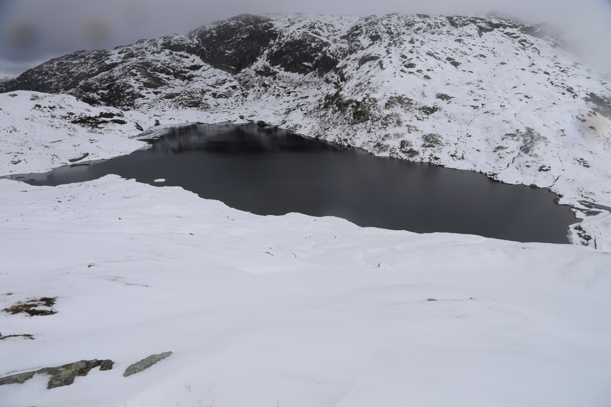
Løkjesdalen then ascends to reach the largest of the
Løkje lakes. Leave the trail here, turn south (left), cross the
small dam (easy) and ascend/follow the main ridge that heads south.
There are a few minor dips along this route, but overall the ridge
ascends to Flatafjellet and you will locate the highest point, no cairn.
Comments:
I spent the night at Kiellandbu, having climbed Sveindalsnuten the
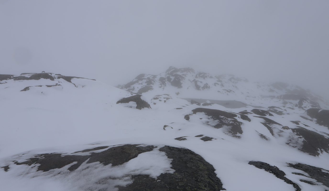
previous evening. Starting around 0700, I immediately noticed that the nice weather (forecasted)
had failed to materialize. I had fog, snow and near white-out conditions. I had no working batteries
for my GPS, but realized last night that I could take the two batteries from my Spot and use these
in my GPS.
It was difficult to see any T-marked signs, mostly buried. However, I more or less followed the
correct route down into Løkjesdalen, then up
to the largest Løkjedals lake.
From here, I followed the ridge which my map said would go uphill to the summit, while my
experience told me that there were several ups and downs along the way.
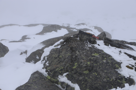
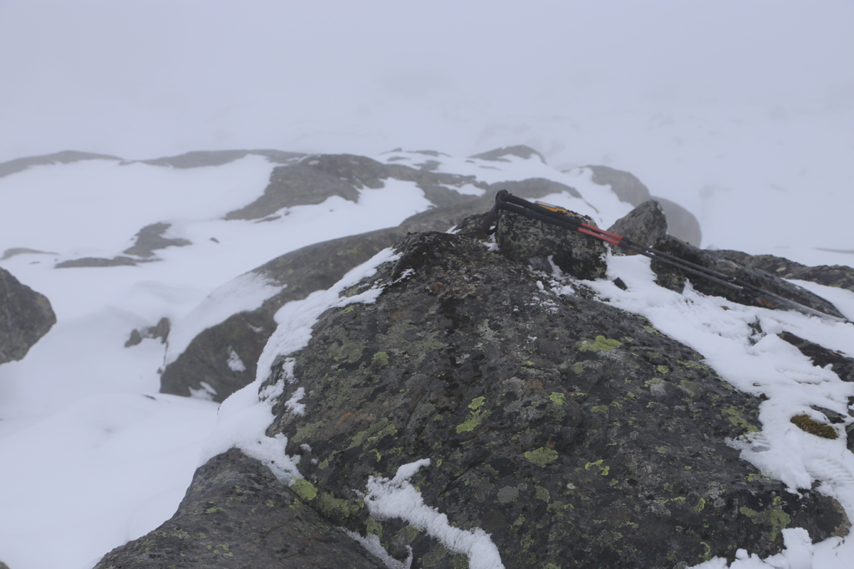
I finally reached the summit without any cairn, around 0930.
Not much view up here, as I looked back across some rocks that looked almost as high.
It was nice to retrace my steps back to the lake. Next and final goal was more or less
directly uphill, the mountain Blåkoll.