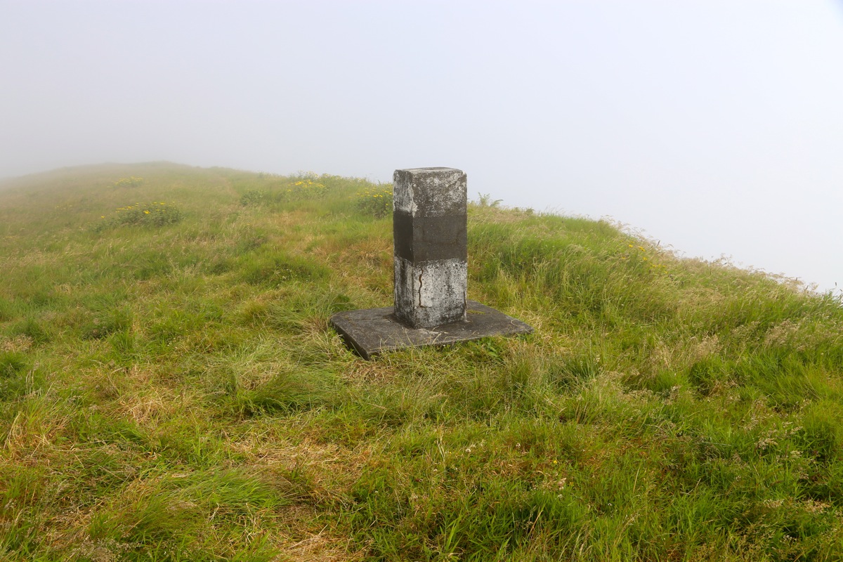
Location: North 38.65058, West 028.07408 (GPS at the summit)
Pico, Azores
Difficulty: (YDS) class 1
Climbed July 23. 2014.
Information:
Here is a quick summary of my climbs in the Azores islands.
How to get there:
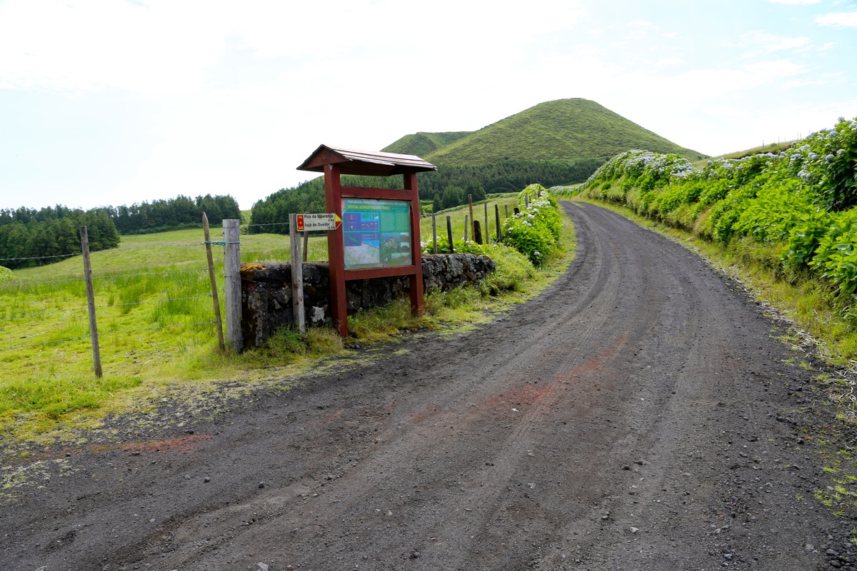
Just as you reach the main crest (of the island), you should see
this road fork.
This location is N38.66858, W28.11850, elevation about 785 meter.
If you park here and walk, then this hike is about 5 kilometer each way.
Many people do this. Alternatively, one may continue to drive and get to the very base of
the mountain. This reduces the climb to a 10 minute trip.
Route description:
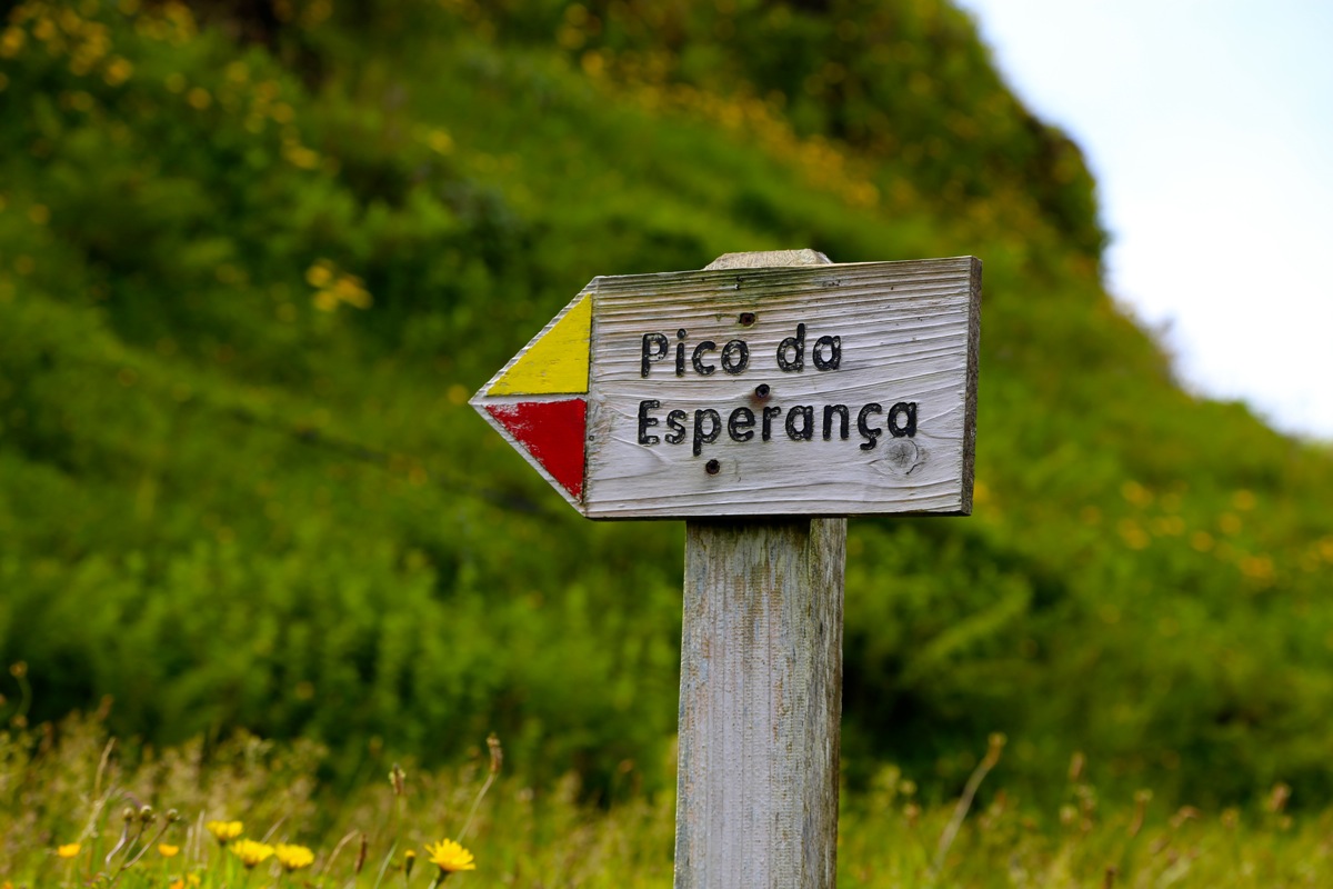
Hike or drive the dirt road until you see a small sign for the mountain just as the road
climbs uphill in a wide left turn.
From the dirt road, just take the big
path uphill indicated with the small, wooden sign.
Follow this path (almost a 4WD road) until it reaches the crest of what
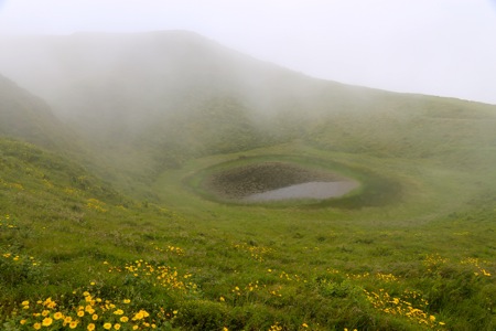
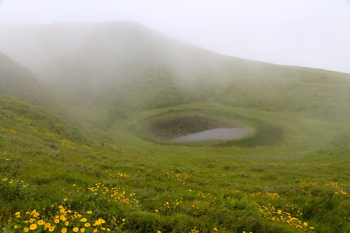
used to be a crater rim.
From here, turn left and follow a smaller trail up the ridge across a fairly flat section, then
to the summit marker. Comments:
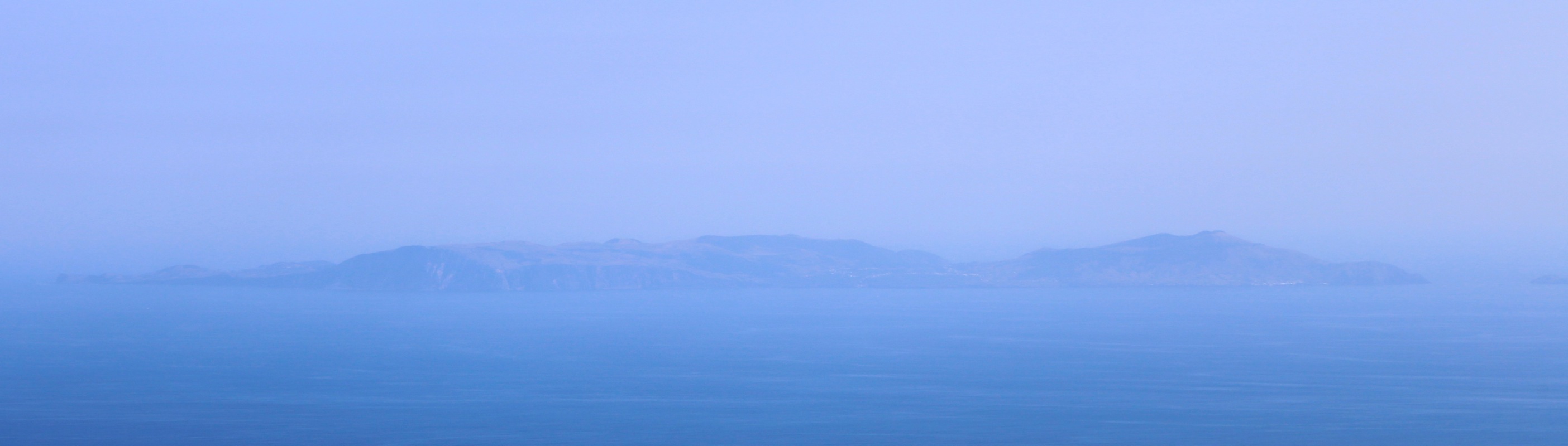
I took the early 0700 ferry from Horta for the second consecutive day, this time
all the way to Velas on Sao Jorge.
It was easy to find the correct dirt road that runs along the main crest of Sao Jorge.
I turned onto it and drove (on quite a nice road) all the way to the base of the peak.
First when driving back, it did seem like one really should have hiked along this
road. In fact, it would make sense if the authorities closed this road
for general traffic and basically turned this into a hiking route.